Plizio Visual Lab
Valdivia
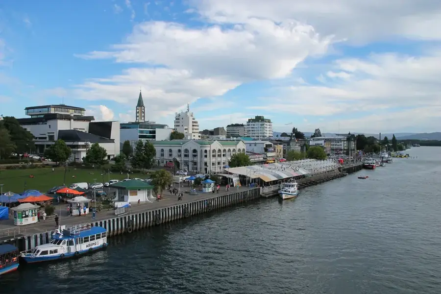
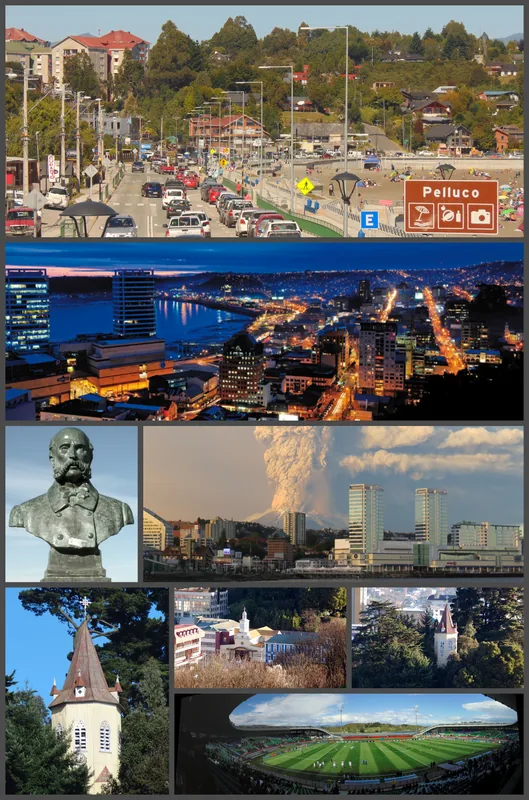
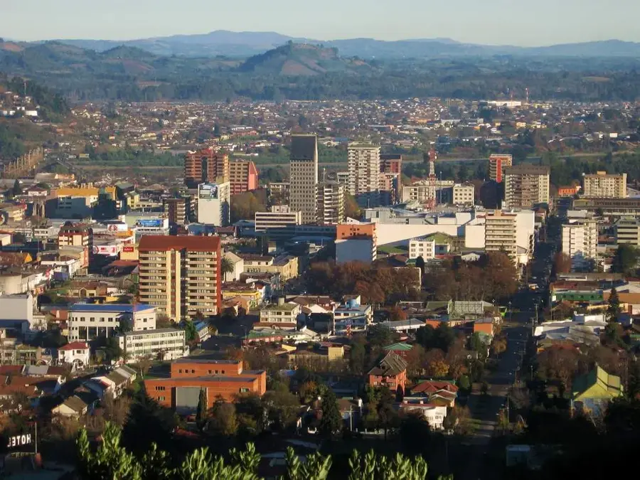
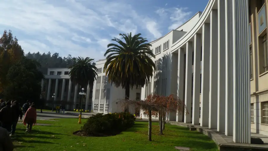
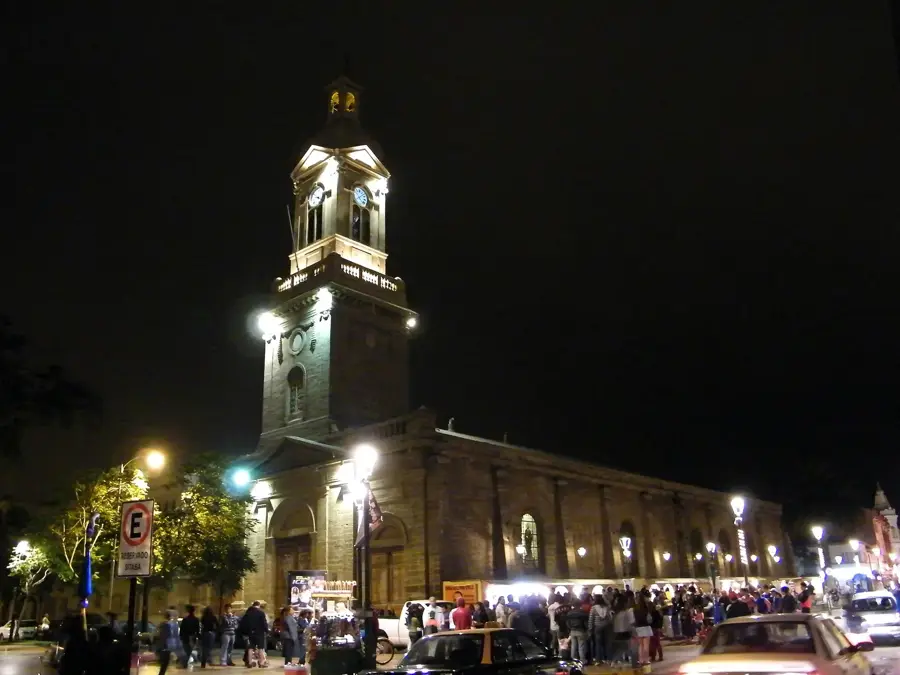
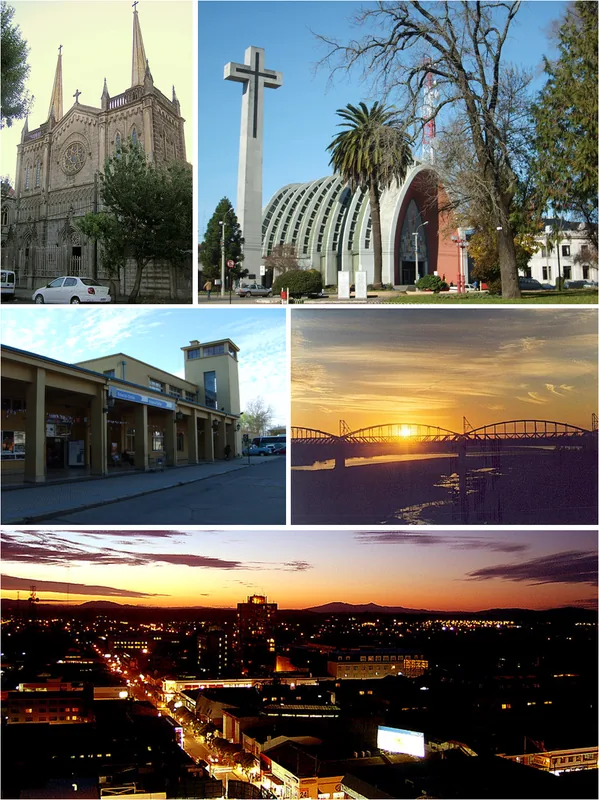
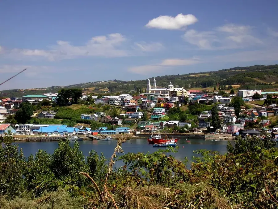
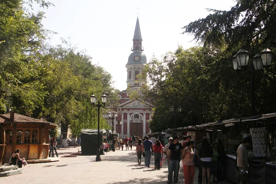
Valdivia is strategically located at the confluence of the Calle-Calle, Valdivia, and Cau-Cau rivers, setting it apart from other Chilean cities. The city's identity is deeply shaped by the strong influx of German immigrants in the 19th century, which is still evident in the local architecture and brewing traditions. The bustling Mercado Fluvial is the epicenter of daily life, where vendors sell fresh fish and produce while massive sea lions lounge on the adjacent riverbanks. A short boat trip leads to Niebla, an impressive Spanish colonial fort built to protect the region from pirates and foreign armadas. Travelers can reach Valdivia via the Pichoy Airport or by long-distance buses from the capital. The summer months of January and February provide the best conditions for outdoor exploration, as the region experiences very high rainfall during the rest of the year.
- Location: Chile
- Top sights: Museo de Arte Contemporáneo · Museo de las Telecomunicaciones · Museo de la Exploración Rudolph Amandus Philippi
- Nearby: Osorno (26 km)
- Population: ~133.419 (2026)
Geography
Facts
- Located at the confluence of three rivers
- Famous for the Mercado Fluvial
- Strong German immigrant heritage
- Home to the historic Niebla Fort
- Epicenter of the 1960 earthquake
- Sea lions frequent the riverbanks
- Known for local craft breweries
- Accessed via Pichoy Airport
Explore nearby
Notable places around
Route planner — Car & Motorhome
Where do you start? We build the route here, with stops and country notes along the way.
© OpenStreetMap contributors · OpenRouteService
Sights in the town Valdivia (15)
Frequently asked questions
Valdivia: where is it located?
Valdivia: what is there to see?
Valdivia: why is it worth visiting?

Nearby cities