Plizio Visual Lab
Pan de Azúcar National Park
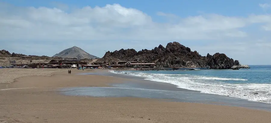
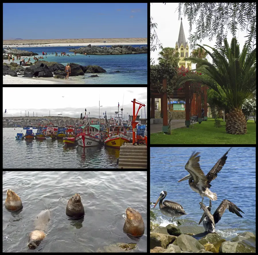
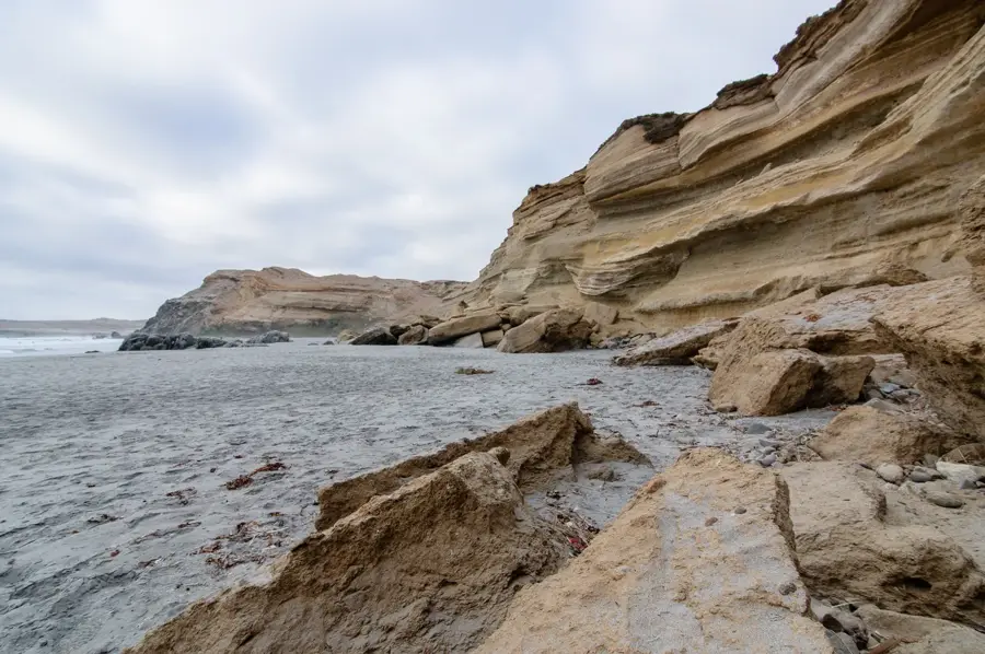
Pan de Azúcar National Park is located on the coast of the Antofagasta and Atacama regions in northern Chile and covers an area of approximately 43,700 hectares. The geography of the park is characterized by a narrow coastal strip, steep cliffs, and the offshore Pan de Azúcar Island. The climate is extremely arid, with the survival of flora and fauna largely depending on the Camanchaca, a dense coastal fog that rolls in from the Pacific. This fog enables the growth of over 20 species of cacti, including the endemic Copiapoa, as well as various lichens and shrubs. Historically, the area was used by the Changos, a people of sea nomads, as fishing grounds, as evidenced by archaeological sites. In terms of wildlife, besides the Humboldt penguin colony on the island, guanacos, desert foxes, and numerous coastal birds are present. The park is an important example of protecting the desert ecosystem and combines geological features with specialized biological diversity.
- Location: Chile
- Top sights: El Mirador · Cerro Soldado · Parque Nacional Pan de Azúcar
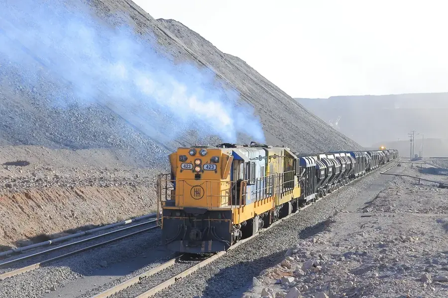
- Nearby: Chañaral (8 km)
Best time to visit & climate
The most pleasant time to visit is Jan–Mar.
| Jan | Feb | Mar | Apr | May | Jun | Jul | Aug | Sep | Oct | Nov | Dec | |
|---|---|---|---|---|---|---|---|---|---|---|---|---|
| Avg °C | 20 | 20 | 19 | 17 | 15 | 14 | 13 | 13 | 14 | 15 | 16 | 18 |
| Rain mm | 0 | 1 | 0 | 1 | 1 | 2 | 3 | 2 | 0 | 1 | 0 | 1 |
📋 Practical info
Geography
Facts
- The national park was established on October 25, 1985.
- The highest elevation in the park is about 800 meters above sea level.
- Over 20 different species of cacti have been identified in the park.
- Archaeological shell mounds (conchales) prove early settlement by indigenous people.
- Pan de Azúcar Island is located about 2 kilometers from the coast.
- The Camanchaca coastal fog occurs mainly in the early morning hours.
Explore nearby
Notable places around
Route planner — Car & Motorhome
Where do you start? We build the route here, with stops and country notes along the way.
© OpenStreetMap contributors · OpenRouteService
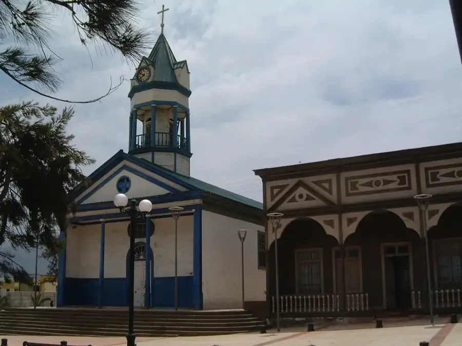
Sights in the town Pan de Azúcar National Park (6)
Sights nearby
Frequently asked questions
What is special about Pan de Azúcar Park?
Which animals can be spotted there?
Are there beaches in the park?
Can you stay overnight in the park?
What should you definitely bring?
Pan de Azúcar National Park: where is it located?
Pan de Azúcar National Park: what is there to see?
Pan de Azúcar National Park: when is the best time to visit?
Pan de Azúcar National Park: why is it worth visiting?

Nearby cities