Plizio Visual Lab
Tierra del Fuego National Park
Weather…
Water temperature…
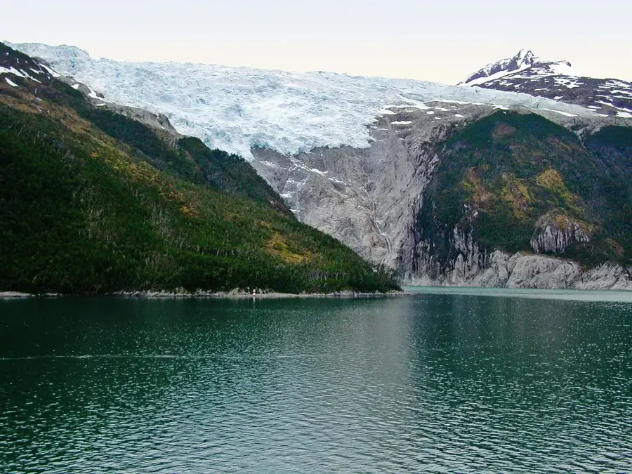
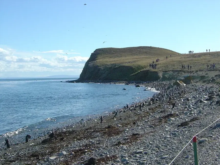
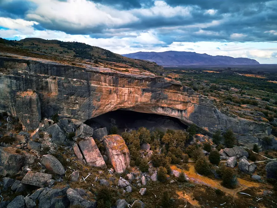
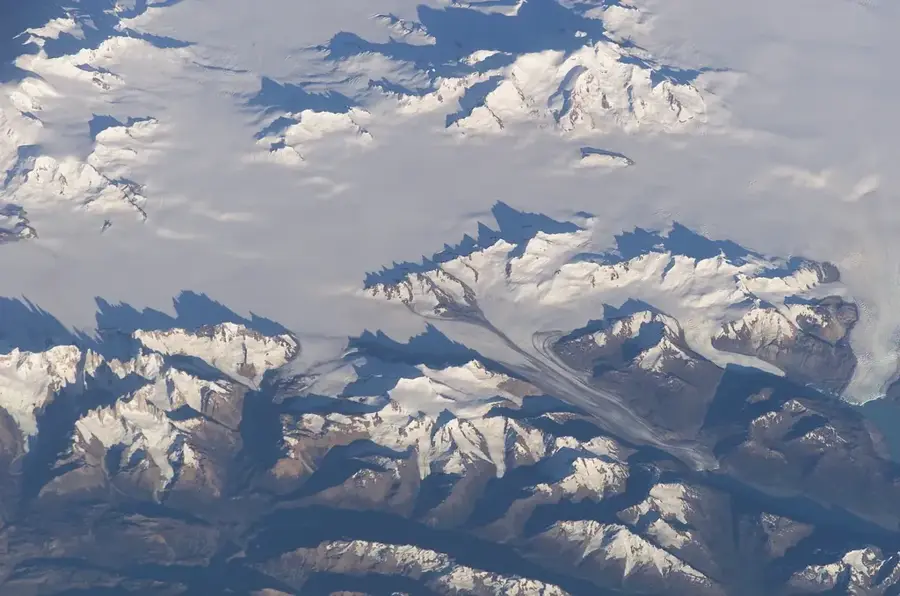
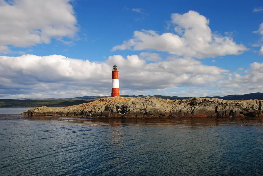
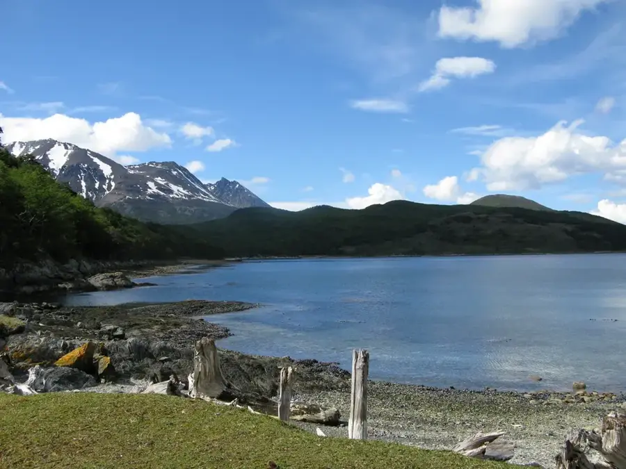
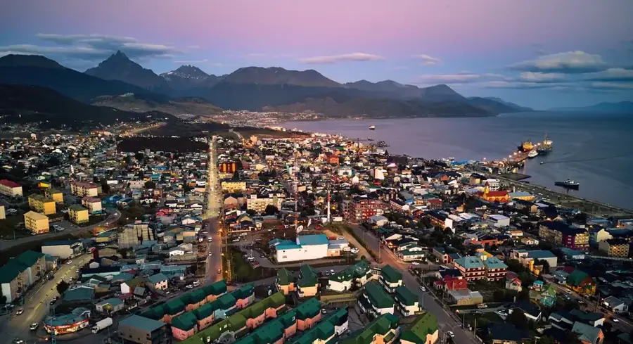
Tierra del Fuego National Park is situated in the far south of Argentina, near the city of Ushuaia, protecting the southernmost stretch of subantarctic forests. Established in 1960, it covers 63,000 hectares of diverse terrain, from the rugged Andes mountains to the shores of the Beagle Channel. It is unique as Argentina's only national park with a marine coastline, creating a spectacular convergence of mountain, forest, and sea ecosystems. The landscape is defined by deep glacial valleys, peat bogs, and pristine bodies of water like Lake Roca. The vegetation consists primarily of southern beech forests (lenga and ñire) that have adapted to the harsh Fuegian climate. Wildlife sightings often include guanacos, red foxes, and a vast array of coastal birds. The park is also famous for hosting the end of the Pan-American Highway at Lapataia Bay, making it a symbolic 'End of the World' destination for international travelers.
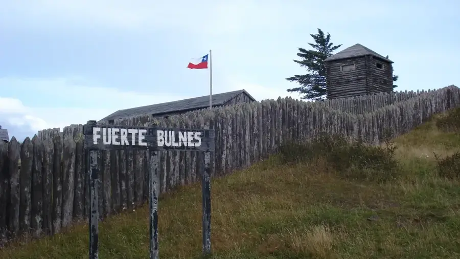
- Location: Chile
- Top sights: Cerro Cóndor · La castorera · Bahía Lapataia
Best time to visit & climate
The most pleasant time to visit is Jan–Mar.
| Jan | Feb | Mar | Apr | May | Jun | Jul | Aug | Sep | Oct | Nov | Dec | |
|---|---|---|---|---|---|---|---|---|---|---|---|---|
| Avg °C | 7 | 7 | 5 | 3 | 1 | -1 | -2 | -1 | 1 | 3 | 4 | 6 |
| Rain mm | 79 | 72 | 66 | 69 | 55 | 62 | 54 | 50 | 47 | 49 | 68 | 78 |
📋 Practical info
Geography
Facts
- The park was officially established on September 30, 1960.
- It covers a total land area of 630 square kilometers.
- Only about 2,000 hectares of the park are open to the general public.
- Lapataia Bay is located 3,063 kilometers away from Buenos Aires.
- The 'End of the World Train' runs along a historic narrow-gauge route.
- Over 90 species of birds have been documented within the protected area.
Explore nearby
Notable places around
Route planner — Car & Motorhome
Where do you start? We build the route here, with stops and country notes along the way.
© OpenStreetMap contributors · OpenRouteService
Sights in the town Tierra del Fuego National Park (7)
Sights nearby
Frequently asked questions
Where does the Pan-American Highway end?
Does the 'End of the World Train' enter the park?
Can you send postcards from here?
What is the difficulty of the hiking trails?
Are there restaurants in the park?
Tierra del Fuego National Park: where is it located?
Tierra del Fuego National Park: what is there to see?
Tierra del Fuego National Park: when is the best time to visit?
Tierra del Fuego National Park: why is it worth visiting?

Nearby cities
History & landmarks

Nature
More places