Plizio Visual Lab
Fort Bulnes
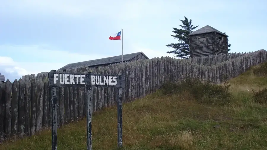
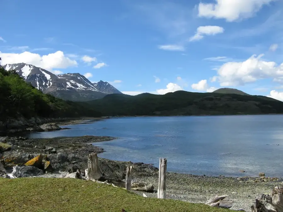
Fort Bulnes is a historic Chilean outpost located on the shores of the Strait of Magellan, approximately 62 kilometers south of Punta Arenas. Established on September 21, 1843, during the administration of President Manuel Bulnes, the fort was intended to secure Chilean sovereignty over the strategically vital maritime route. Built on the rocky Santa Ana Point, the settlement faced extreme weather conditions and a severe lack of resources, which made permanent habitation difficult for the early pioneers. By 1848, the settlement was largely abandoned as the population moved to a more sheltered location, leading to the founding of the city of Punta Arenas. The original wooden structures were burned to prevent reoccupation by other powers, but the site was meticulously reconstructed between 1941 and 1943. Today, it serves as a significant historical monument and open-air museum, showcasing the early challenges of exploring and settling Chile's southern territories. The site features reconstructed blockhouses, a chapel, and defensive walls that offer a glimpse into mid-19th-century frontier life.
- Location: Chile
- Top sights: Faro Bernardo O'Higgins · Mirador del Estrecho · Caleta Observatorio
Best time to visit & climate
The most pleasant time to visit is Jan, Feb, Dec.
| Jan | Feb | Mar | Apr | May | Jun | Jul | Aug | Sep | Oct | Nov | Dec | |
|---|---|---|---|---|---|---|---|---|---|---|---|---|
| Avg °C | 8 | 8 | 7 | 5 | 4 | 2 | 2 | 2 | 3 | 5 | 6 | 8 |
| Rain mm | 74 | 60 | 72 | 72 | 61 | 59 | 52 | 54 | 45 | 51 | 57 | 66 |
📋 Practical info
Geography
Facts
- Founded on September 21, 1843, by the expedition of John Williams Wilson.
- The first permanent Chilean settlement on the strategic Strait of Magellan.
- Abandoned in 1848 in favor of the more sheltered site of Punta Arenas.
- The original wooden buildings were burned down upon abandonment in 1848.
- A faithful reconstruction of the fort was completed between 1941 and 1943.
- Located on the rocky and wind-swept terrain of Santa Ana Point.
Explore nearby
Notable places around
Route planner — Car & Motorhome
Where do you start? We build the route here, with stops and country notes along the way.
© OpenStreetMap contributors · OpenRouteService
Sights in the town Fort Bulnes (8)
Sights nearby
Frequently asked questions
What is Fort Bulnes?
How far is it from Punta Arenas?
When is it open?
Can the inside of the log cabins be seen?
Is there a café there?
Fort Bulnes: where is it located?
Fort Bulnes: what is there to see?
Fort Bulnes: when is the best time to visit?
Fort Bulnes: why is it worth visiting?

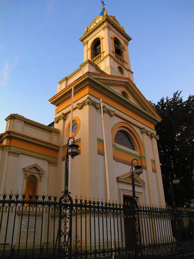
History & landmarks
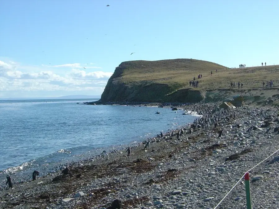
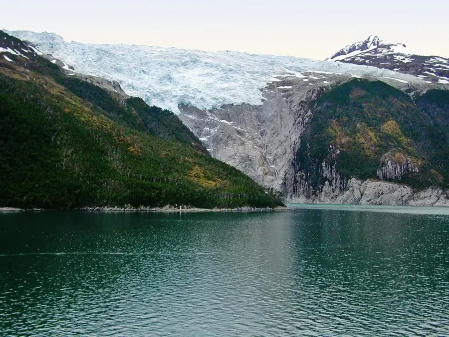
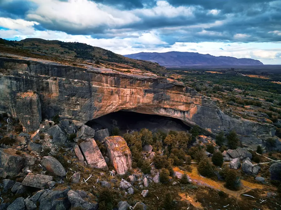
Nature
More places