Plizio Visual Lab
Pumalín National Park
Weather…
Water temperature…
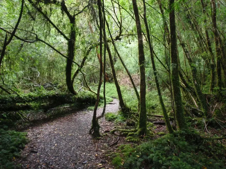
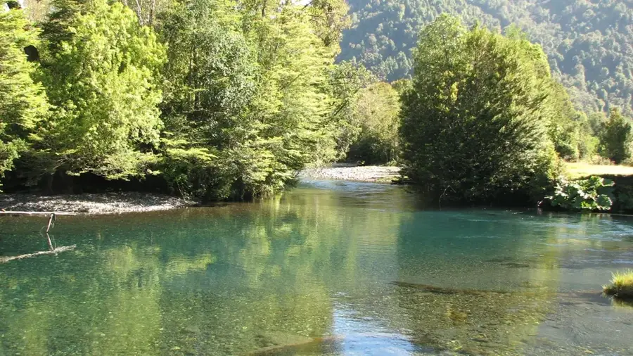
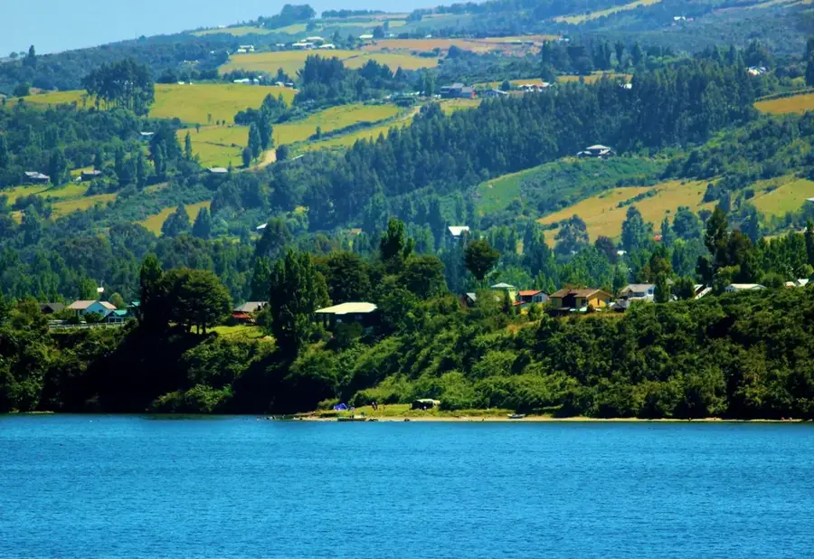
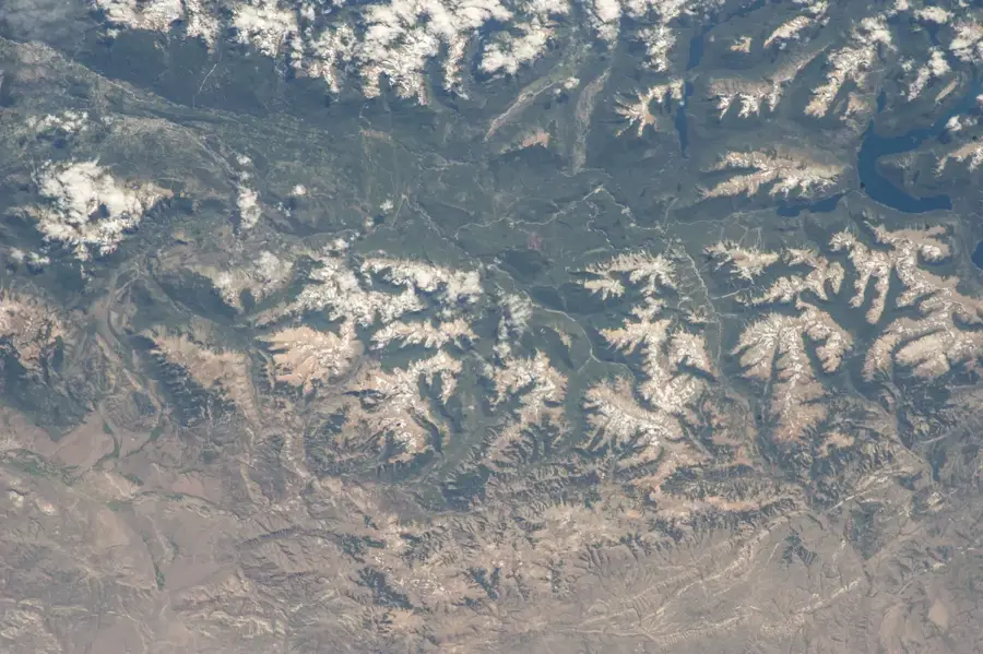
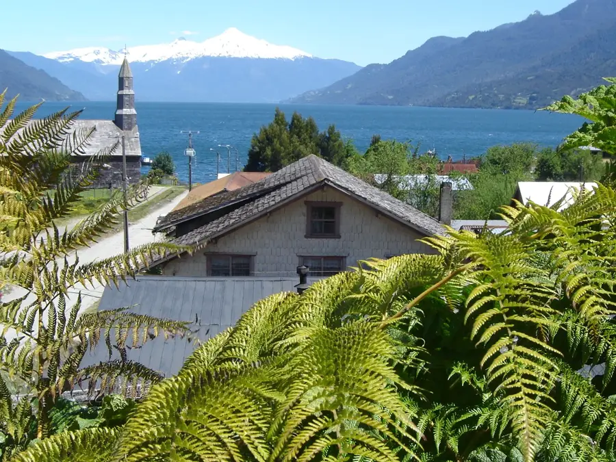
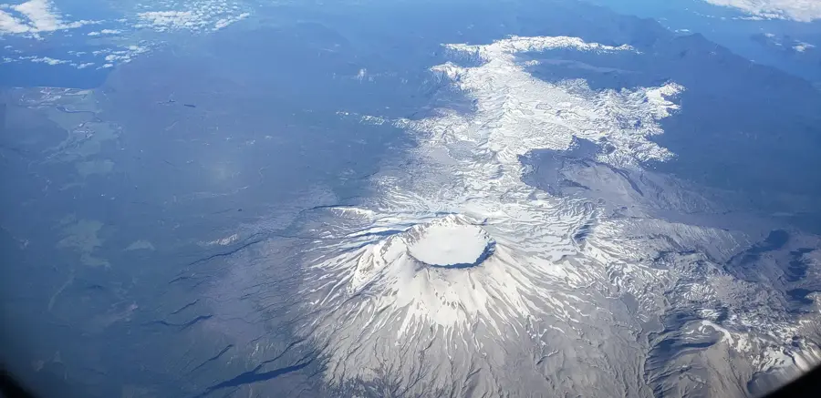
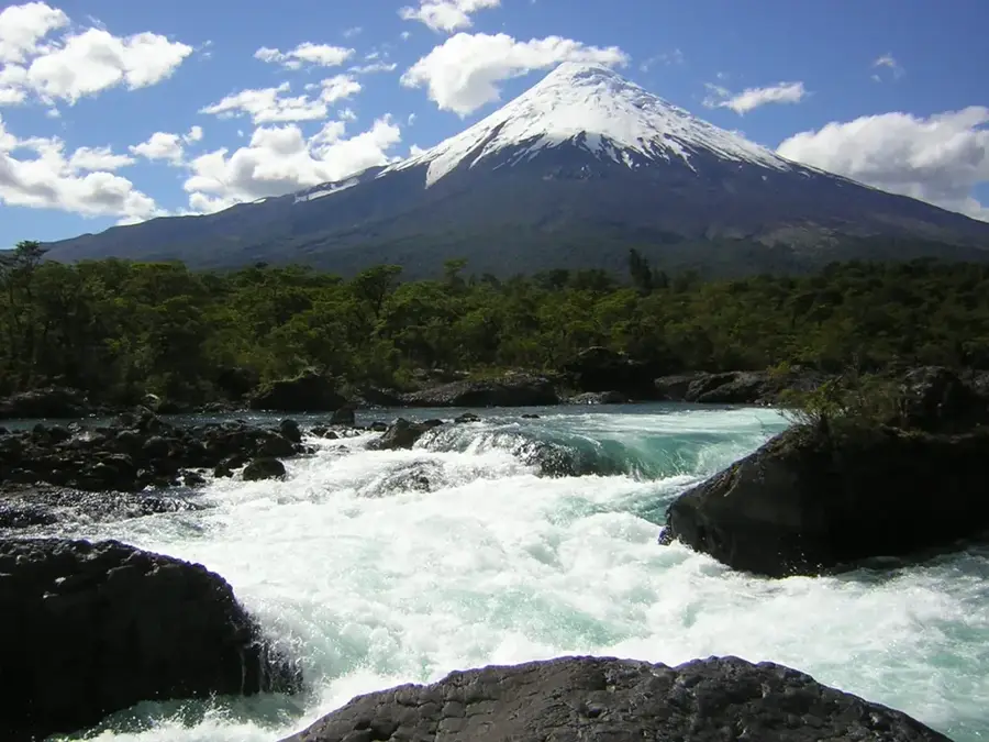
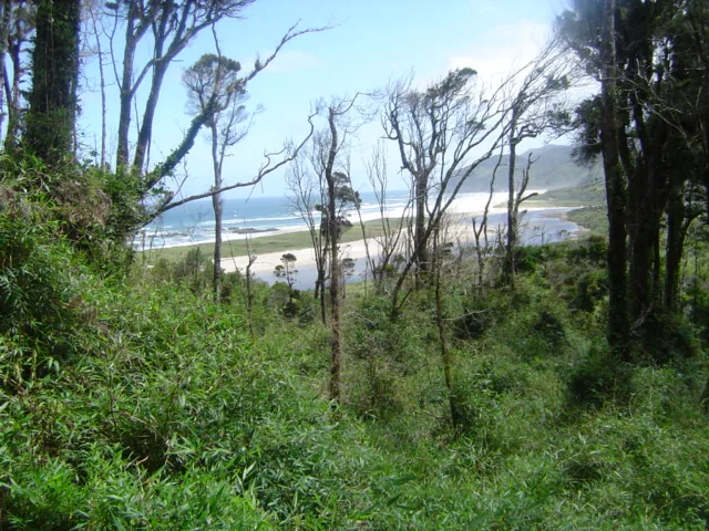
Pumalín Douglas Tompkins National Park is located in the Palena province of northern Patagonia and covers an area of approximately 400,000 hectares. The area was secured starting in 1991 by US entrepreneur Douglas Tompkins through private land purchases to protect the Valdivian temperate rainforest and was later donated to the Chilean state. Geographically, the park stretches from the Pacific fjords to the peaks of the Andes and is characterized by active volcanoes such as Michinmahuida and Chaitén. The region is marked by extreme rainfall, which has enabled the growth of dense vegetation featuring millennia-old Alerce trees (Fitzroya cupressoides). The park serves as a sanctuary for endangered species like the huemul deer and the pudu, as well as a variety of endemic bird species. The infrastructure includes ecologically designed hiking trails, campsites, and information centers that combine tourism with strict nature conservation regulations. Since 2018, the area has been officially classified as a national park and forms a central part of the Chilean network of protected areas in Patagonia.
- Location: Chile
- Top sights: Mirador Cascada Alta · Mirador Cascada Baja · Mirador Laguna
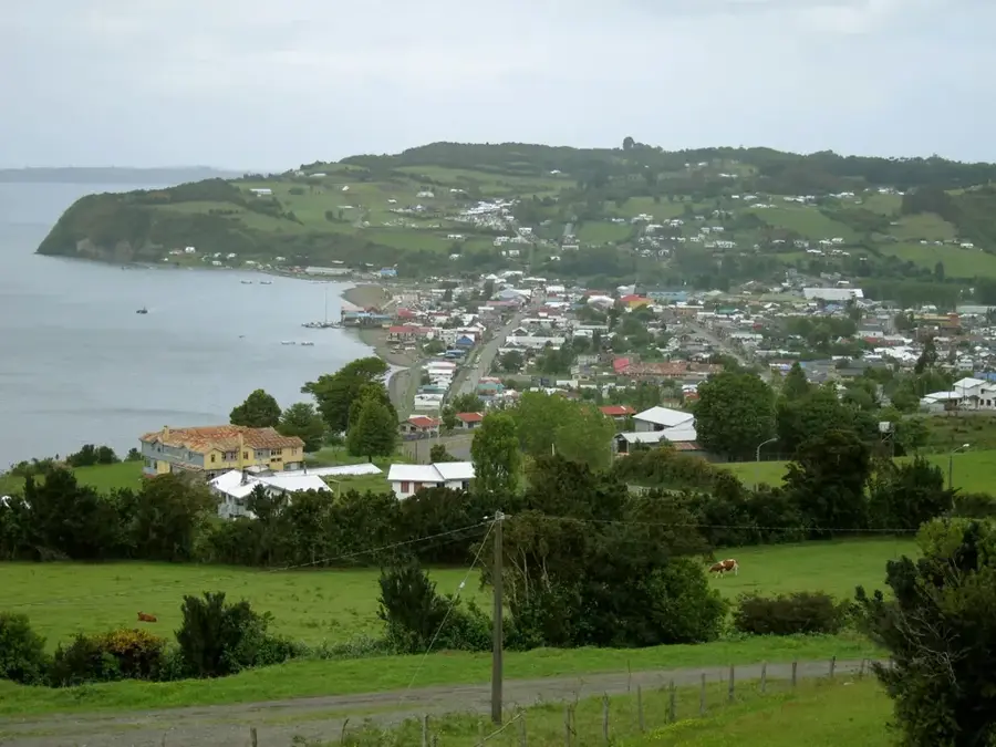
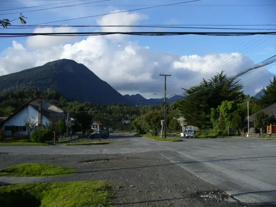
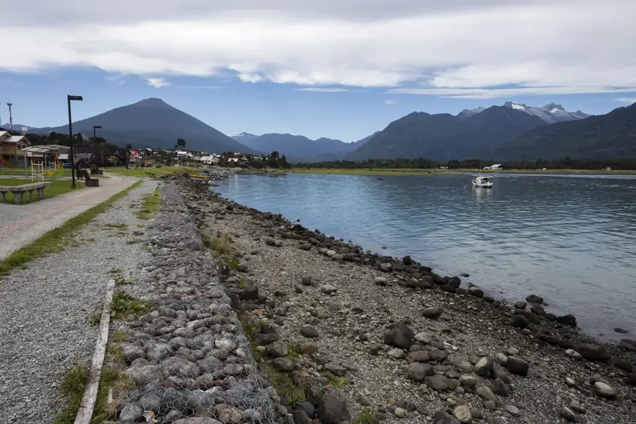
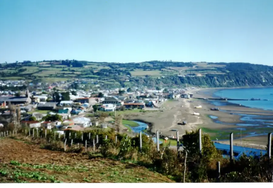
- Nearby: Chaitén (16 km)
Best time to visit & climate
The most pleasant time to visit is Jan, Feb, Dec.
| Jan | Feb | Mar | Apr | May | Jun | Jul | Aug | Sep | Oct | Nov | Dec | |
|---|---|---|---|---|---|---|---|---|---|---|---|---|
| Avg °C | 12 | 12 | 11 | 8 | 6 | 4 | 3 | 4 | 5 | 7 | 8 | 10 |
| Rain mm | 87 | 70 | 98 | 98 | 149 | 162 | 136 | 143 | 81 | 118 | 101 | 92 |
📋 Practical info
Geography
Facts
- The park hosts approximately 25% of Chile's remaining Alerce forests.
- The official donation of the land to the state took place in 2017.
- The Chaitén volcano erupted spectacularly in 2008 after long inactivity.
- Annual rainfall can reach up to 6,000 mm in some parts of the park.
- There are over 12 different hiking trails with varying difficulty levels.
- The Alerce trees in the park can reach an age of over 3,000 years.
Explore nearby
Notable places around
Route planner — Car & Motorhome
Where do you start? We build the route here, with stops and country notes along the way.
© OpenStreetMap contributors · OpenRouteService
Sights in the town Pumalín National Park (5)
Sights nearby
Frequently asked questions
What is special about Pumalín Park?
How do you get to the park?
Are there camping facilities?
Which hikes are recommended?
When should you visit Pumalín?
Pumalín National Park: where is it located?
Pumalín National Park: what is there to see?
Pumalín National Park: when is the best time to visit?
Pumalín National Park: why is it worth visiting?

Nearby cities

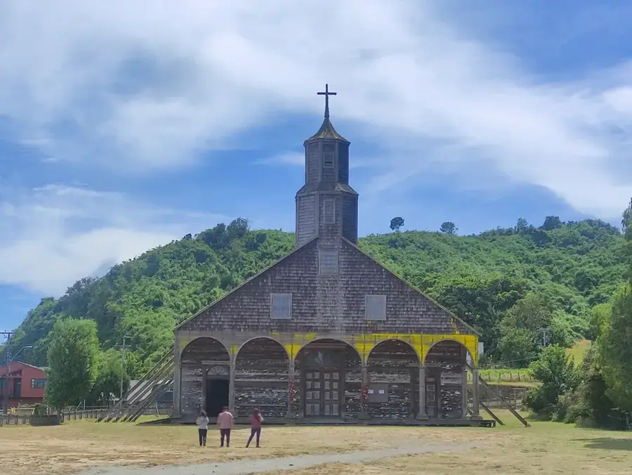
History & landmarks
Nature
More places