Plizio Visual Lab
Hornopirén
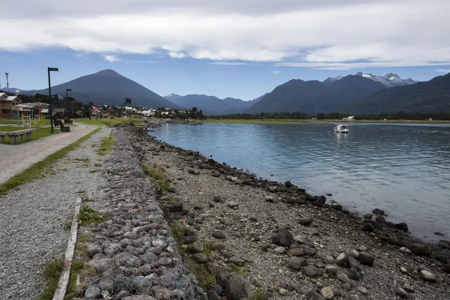
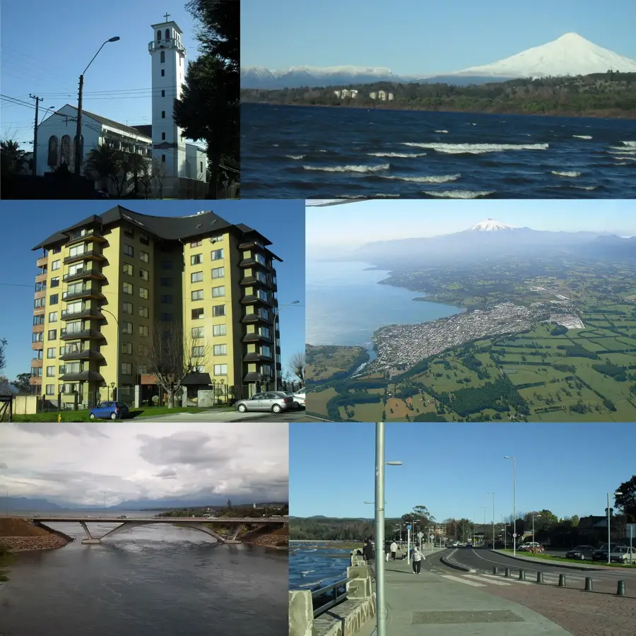
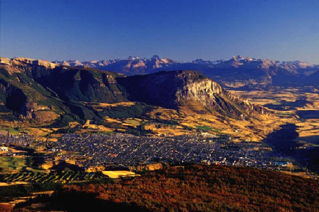
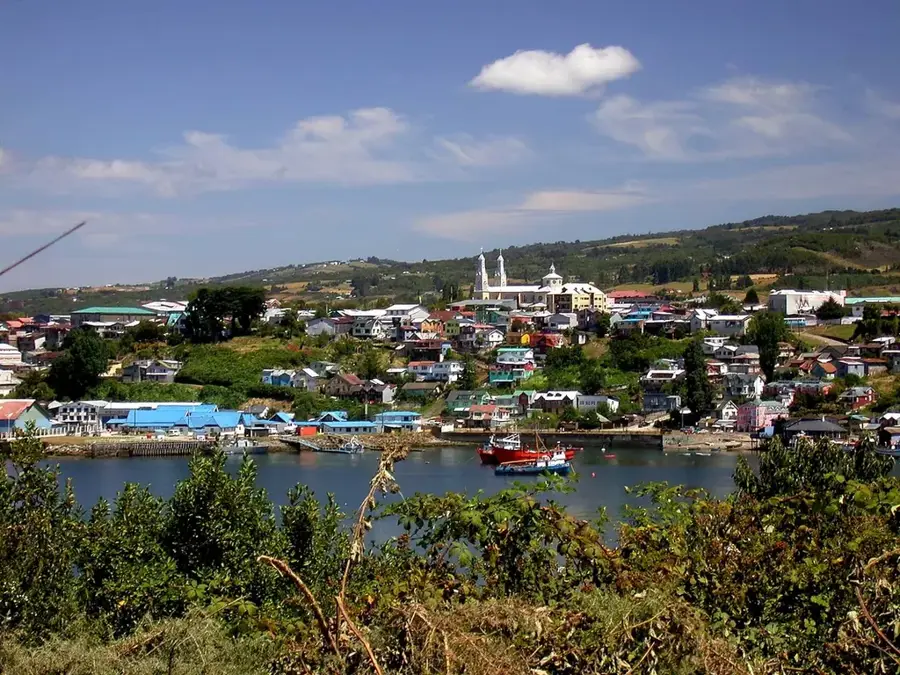
Set against a dramatic backdrop of steep, densely forested fjords and the constantly smoking, snow-capped Hornopirén volcano, this coastal town serves as a vital logistical hub for travelers. It officially marks the start of the truly rugged southern stretch of the Carretera Austral. It is the mandatory departure point for the essential vehicle ferry crossing to Caleta Gonzalo, traversing the pristine waters of the Comau Fjord. The town is closely surrounded by the Hornopirén National Park, a rugged reserve protecting thousands of hectares of ancient, highly endangered Alerce trees. Visitors stop here for several days to organize their southern journey, stock up on vital supplies, and explore local natural attractions. Natural hot springs, such as the Termas de Pichicolo, offer rustic relaxation hidden deep within the temperate rainforest foliage. The local economy relies heavily on large-scale aquaculture, meaning local dining guarantees exceptional access to fresh salmon, sea bass, and regional shellfish. Access from Puerto Montt involves driving the first section of Route 7 and taking a short, scenic ferry across the Reloncaví Estuary. The summer months are essential for securing ferry passage and safe trail access.
- Location: Chile
- Top sights: Humedal de Cuchildeo · Sistema de Humedales Hornopirén · Iglesia de Hornopirén
- Nearby: Cochamó (23 km)
Geography
Facts
- Start of rugged Carretera Austral
- Comau Fjord ferry port
- Hornopirén National Park
- Ancient Alerce trees
- Active Hornopirén volcano
- Major aquaculture hub
- Termas de Pichicolo
- Meaning Oven of the ash
Explore nearby
Notable places around
Route planner — Car & Motorhome
Where do you start? We build the route here, with stops and country notes along the way.
© OpenStreetMap contributors · OpenRouteService
Sights in the town Hornopirén (3)
Frequently asked questions
Hornopirén: where is it located?
Hornopirén: what is there to see?
Hornopirén: why is it worth visiting?

Nearby cities