Plizio Visual Lab
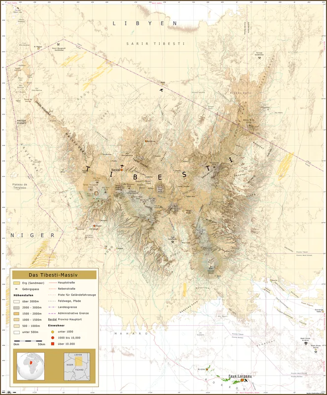
Tibesti Mountains

Weather…
Water temperature…
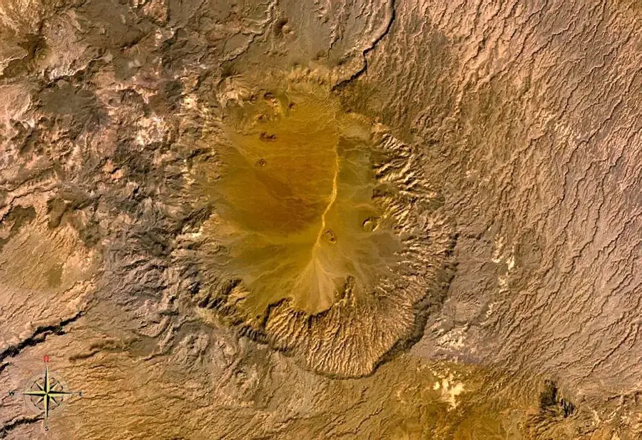
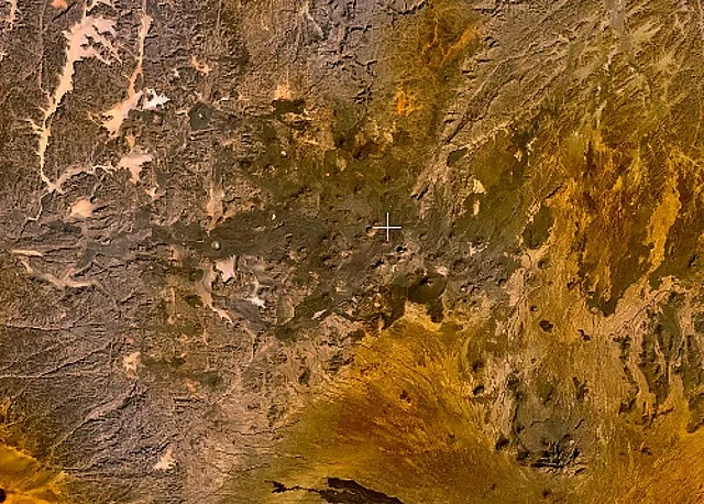
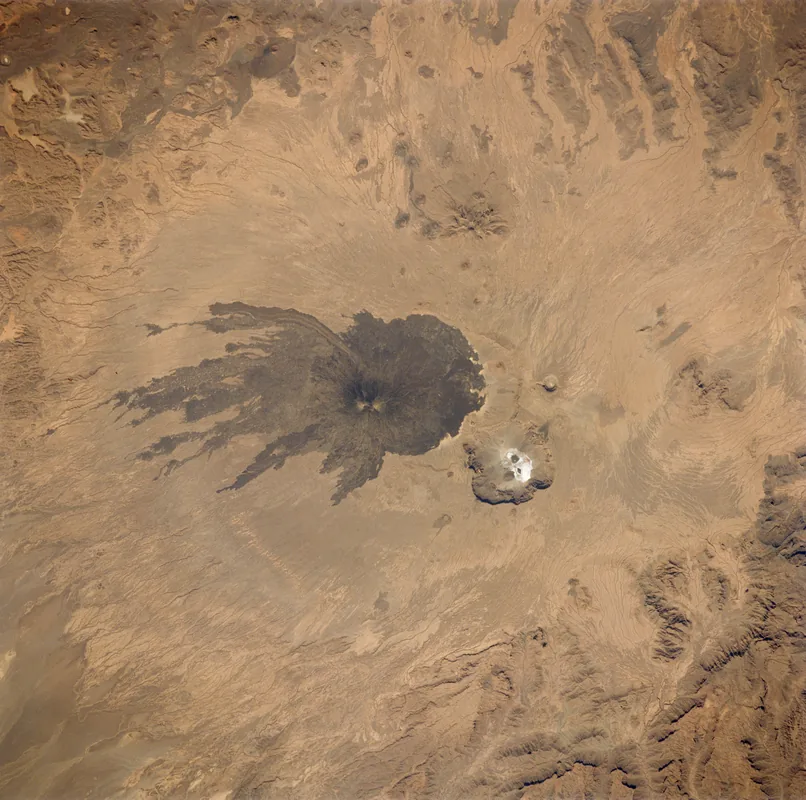
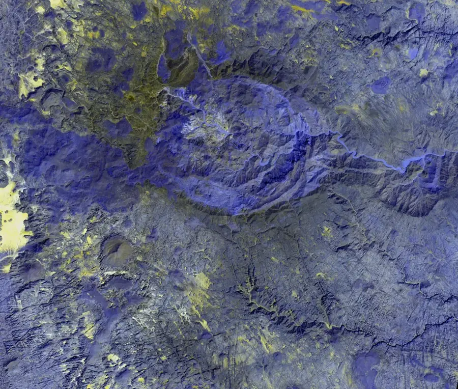
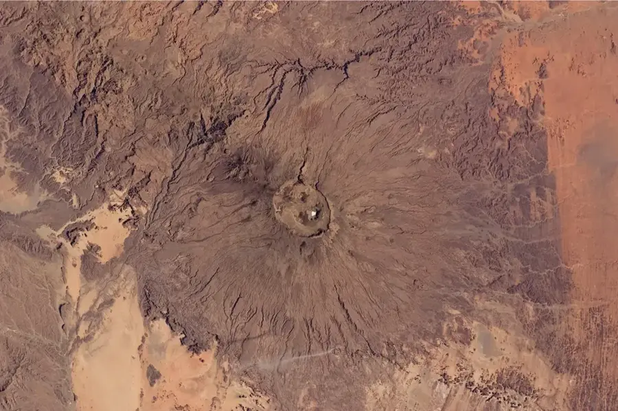
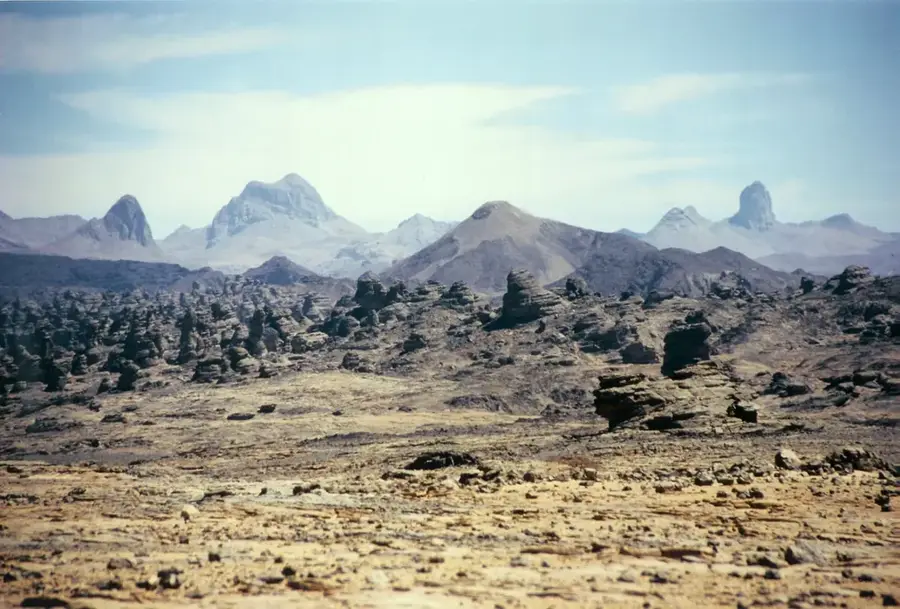
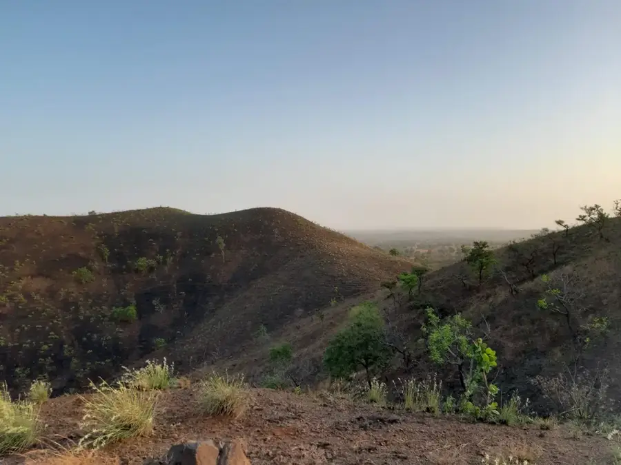
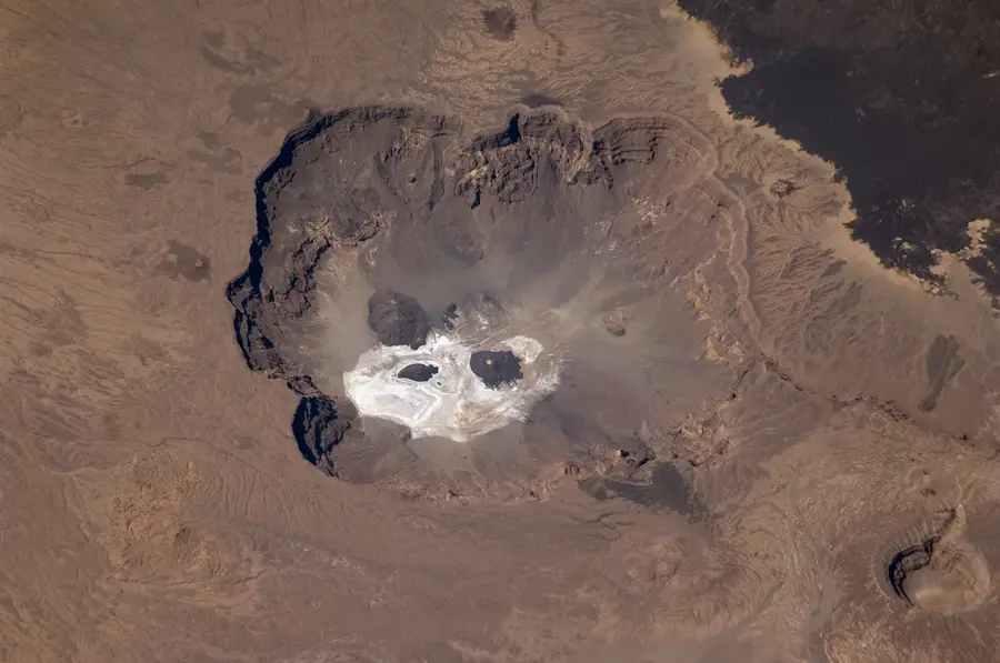
The Tibesti Mountains are a spectacular high-mountain region in northern Chad, shaped by volcanic forces and housing some of the world's most extreme landscapes. The massif covers an area of nearly 100,000 square kilometers and consists predominantly of dark lava rock, deep gorges, and prominent volcanic cones. The region is home to the Toubou, a nomadic people who have adapted to the hostile environment over generations. Geologically, the mountains were formed by tectonic uplifts and volcanic activity, reaching their highest point at Emi Koussi. Historically, the Tibesti was often a refuge for resistance movements due to its inaccessibility and remained largely unexplored for a long time. Prehistoric rock paintings found in hidden valleys prove that the Sahara was once a significantly greener savanna. Climatic conditions are marked by massive temperature differences and rare but violent rainfalls that create short-lived rivers in the wadis. The flora includes rare species such as the Saharan olive tree, which survives in protected high altitudes. Today, the Tibesti is a destination for specialized expeditions seeking the solitude and monumental silence of the desert.
Best time to visit & climate
The most pleasant time to visit is Feb, Nov, Dec.
| Jan | Feb | Mar | Apr | May | Jun | Jul | Aug | Sep | Oct | Nov | Dec | |
|---|---|---|---|---|---|---|---|---|---|---|---|---|
| Avg °C | 18 | 21 | 25 | 30 | 33 | 34 | 33 | 32 | 32 | 29 | 23 | 19 |
| Rain mm | 0 | 0 | 0 | 0 | 1 | 1 | 8 | 26 | 5 | 0 | 0 | 0 |
📋 Practical info
Geography
Facts
- The Tibesti Mountains also extend into southern Libya.
- There are thermal springs such as Soborom, which reach temperatures of up to 100 degrees.
- Rare Barbary sheep (Aoudad) live in the mountains.
- The massif consists of five large shield volcanoes.
- Some rock paintings in the Tibesti are estimated to be 8,000 years old.
- The highest peak, Emi Koussi, rises more than 2,000 meters above the surrounding desert.
Explore nearby
Notable places around
Route planner — Car & Motorhome
Where do you start? We build the route here, with stops and country notes along the way.
© OpenStreetMap contributors · OpenRouteService
Sights nearby
Frequently asked questions
Are the Tibesti Mountains accessible to tourists?
Which vehicles are most suitable?
Can you wild camp there?
What are the biggest dangers?
Is there mobile reception there?
Tibesti Mountains: where is it located?
Tibesti Mountains: when is the best time to visit?
Tibesti Mountains: why is it worth visiting?

Nearby cities

History & landmarks

More places