Plizio Visual Lab
Tarso Toh
Weather…
Water temperature…
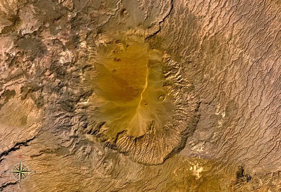
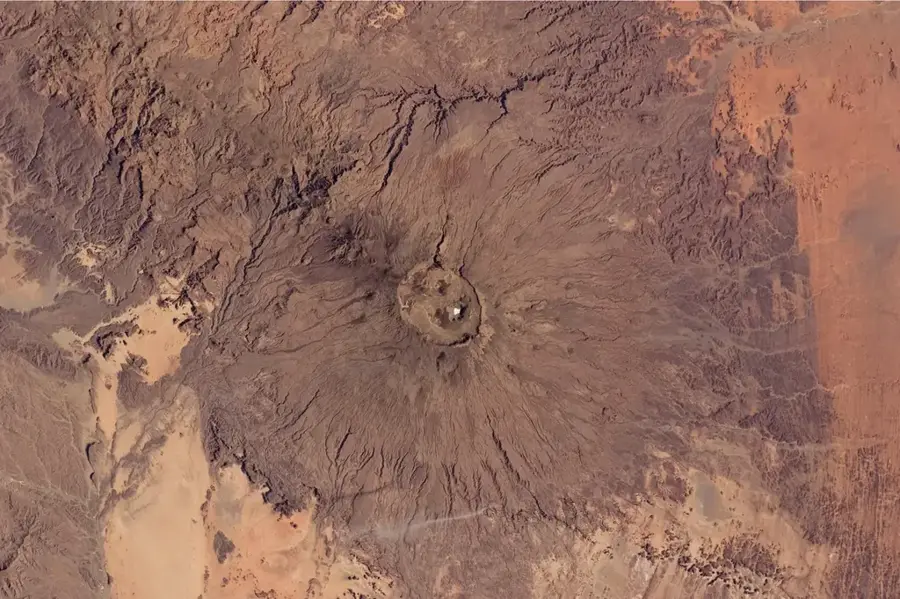
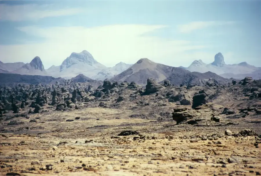
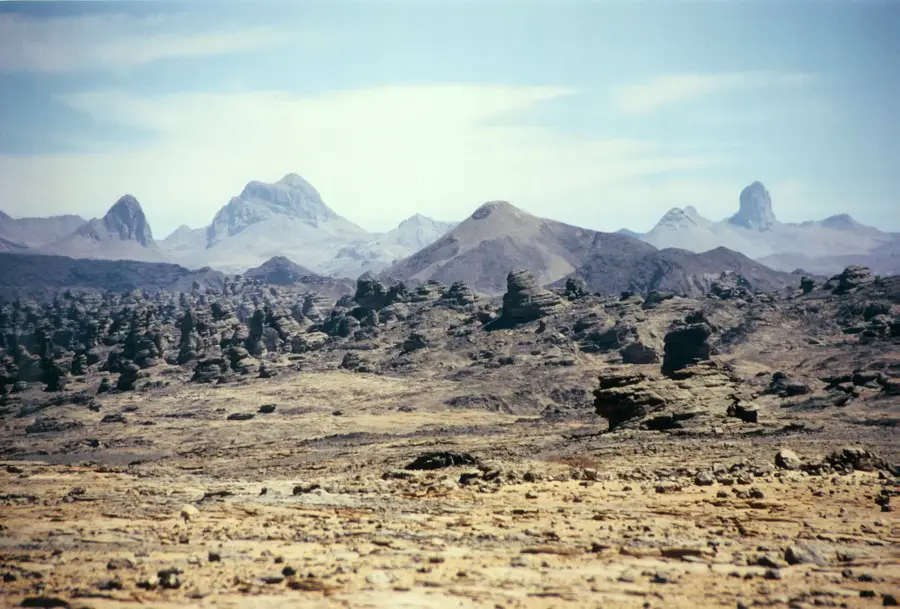
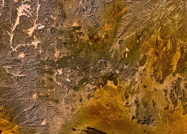
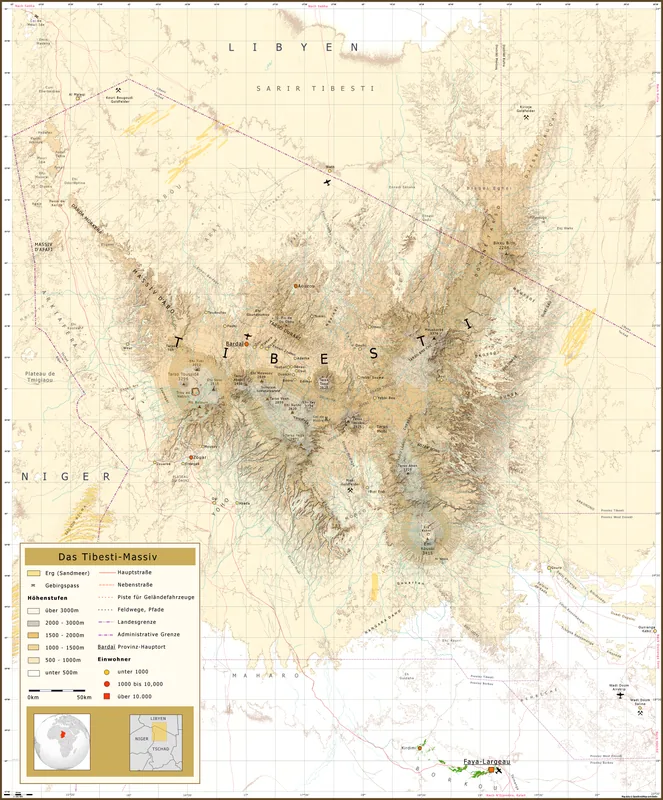
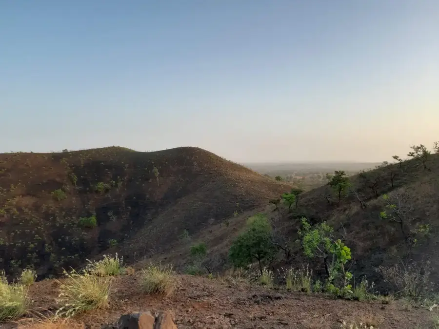
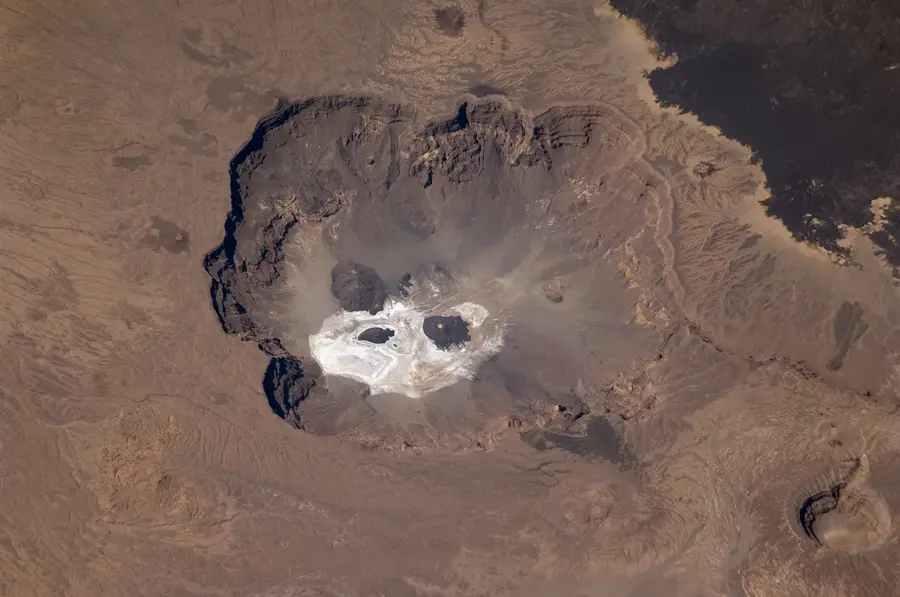
Tarso Toh is an extensive volcanic highland in the northwestern Tibesti Mountains of Chad, distinguished by an extraordinary density of volcanic landforms. Unlike the massive single calderas found elsewhere in the Tibesti, Tarso Toh is characterized by a vast field of scoria cones, maars, and lava flows that create a bizarre and desolate landscape. Its highest elevations reach approximately 2,000 meters above sea level. Geologically, the area is relatively young, with most volcanic structures dating back to the Quaternary period. The maars in this region are often great circular depressions formed by phreatomagmatic explosions, which in the past periodically held small lakes. Today, white sedimentary deposits on the floors of these craters serve as evidence of these wetter periods in Saharan history. Tarso Toh provides scientists with crucial insights into the variety of volcanic eruption mechanisms under extreme arid conditions. The solitude and monumental scale of the highland make it one of the hidden natural wonders of the central Sahara.
- Location: Chad
- Nearby: Fada (32 km)
Best time to visit & climate
The most pleasant time to visit is Jan, Feb, Dec.
| Jan | Feb | Mar | Apr | May | Jun | Jul | Aug | Sep | Oct | Nov | Dec | |
|---|---|---|---|---|---|---|---|---|---|---|---|---|
| Avg °C | 19 | 23 | 27 | 30 | 33 | 34 | 33 | 31 | 31 | 29 | 24 | 20 |
| Rain mm | 0 | 0 | 0 | 0 | 1 | 1 | 16 | 47 | 8 | 1 | 0 | 0 |
📋 Practical info
Geography
Facts
- Location: NW Tibesti Mountains
- Elevation: up to 2,000 m
- Landforms: Scoria cones and maars
- Geological age: Quaternary period
- Key feature: High density of volcanic vents
- Climate: Hyper-arid desert environment
Explore nearby
Notable places around
Route planner — Car & Motorhome
Where do you start? We build the route here, with stops and country notes along the way.
© OpenStreetMap contributors · OpenRouteService
Sights nearby
Frequently asked questions
Is Tarso Toh a well-known mountain?
What is the terrain like at the volcano?
Is an expedition advisable?
Are there settlements nearby?
What is the biggest challenge?
Tarso Toh: where is it located?
Tarso Toh: when is the best time to visit?
Tarso Toh: why is it worth visiting?

Nearby cities

History & landmarks

More places