Plizio Visual Lab
Bodélé Depression
Weather…
Water temperature…
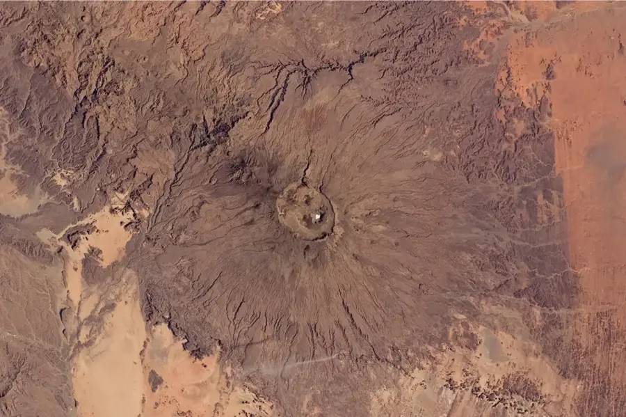
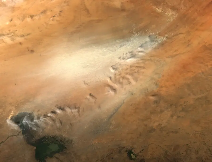
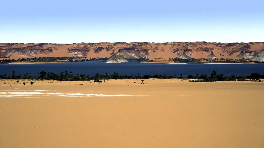
The Bodélé Depression is located in northern Chad at the southern edge of the Sahara Desert and marks the country's lowest point, at approximately 155 meters above sea level. About 6,000 years ago, this area was part of the massive Lake Mega-Chad, which left behind extensive layers of diatomite upon drying up. Today, the depression is the world's most significant source of mineral atmospheric dust, lifted by powerful winds known as the Harmattan. This nutrient-rich dust crosses the Atlantic Ocean and plays a crucial role in fertilizing the Amazon rainforest in South America. The extreme climatic conditions and constant dust storms make the region one of the most inhospitable yet ecologically influential landscapes on Earth. Scientific expeditions study the sediments here to understand North Africa's paleoclimatic shifts. The geological formation consists primarily of the remains of microscopic algae that once thrived in the prehistoric lake.
Best time to visit & climate
The most pleasant time to visit is Jan, Feb, Dec.
| Jan | Feb | Mar | Apr | May | Jun | Jul | Aug | Sep | Oct | Nov | Dec | |
|---|---|---|---|---|---|---|---|---|---|---|---|---|
| Avg °C | 19 | 22 | 27 | 31 | 34 | 35 | 35 | 34 | 33 | 30 | 24 | 20 |
| Rain mm | 0 | 0 | 0 | 0 | 0 | 1 | 10 | 17 | 1 | 0 | 0 | 0 |
📋 Practical info
Geography
Facts
- Lowest point in Chad at 155 meters above sea level.
- World's largest single source of atmospheric mineral dust.
- Produces an estimated 700,000 tons of dust annually.
- Surface is composed of diatomite from prehistoric algae.
- Dust provides essential phosphorus to the Amazon rainforest.
- Formerly the deepest part of the ancient Lake Mega-Chad.
Explore nearby
Notable places around
Route planner — Car & Motorhome
Where do you start? We build the route here, with stops and country notes along the way.
© OpenStreetMap contributors · OpenRouteService
Sights nearby
Frequently asked questions
What is the Bodélé Depression?
Can one visit the Bodélé Depression?
What is the biggest risk in this region?
Are there any sights nearby?
What gear is needed for an expedition?
Bodélé Depression: where is it located?
Bodélé Depression: when is the best time to visit?
Bodélé Depression: why is it worth visiting?

Nearby cities


History & landmarks
More places