Plizio Visual Lab
Ngaoundéré

ℹ️Practical info — Ngaoundéré
▾
🌤 Weather — 5 days
📍 Nearby
Sights nearby
💡 Tips
- Visit the Lamidat (traditional chief's palace) to understand the local Fulani culture.
- The train journey from Yaoundé ends here; book sleeper tickets well in advance.
- Explore the local markets early in the morning for the best spirited atmosphere.
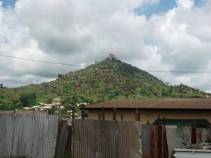
- Mount Nganha is nearby; hire a local guide if you plan to hike.
- Be respectful of local Islamic traditions by dressing modestly.
🍽 Food
Grilled meat skewers found at street food stalls near the train station and main market.
Try this traditional Fulani yogurt drink at the central market.
Dried spicy meat available at butcher stalls, a first-rate local snack to take away.
🛍 Shopping · 🧘 Quiet spots
The main market offering everything from colorful fabrics to local produce.
Look for traditional Fulani handicrafts, leather goods, and pottery.
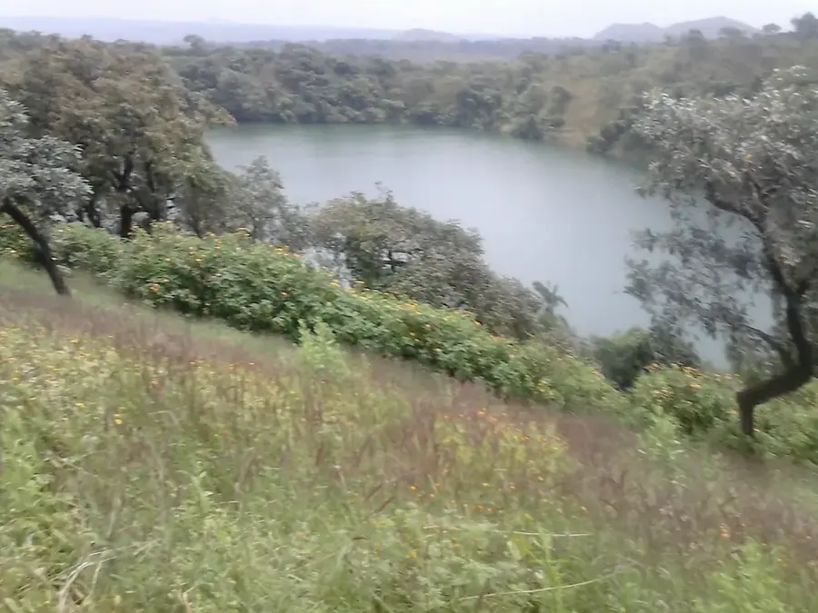
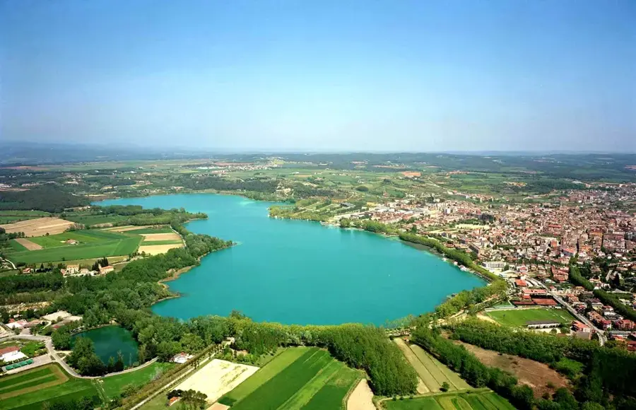
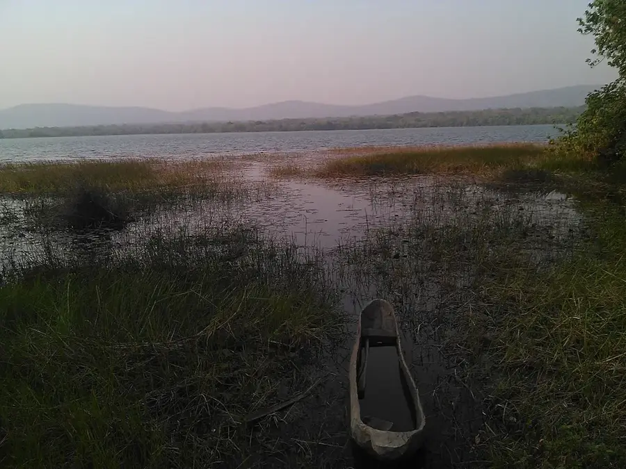
A serene crater lake just outside the city, great for a peaceful walk.
Has panoramic views over the city and surrounding plains.
Water temperature…
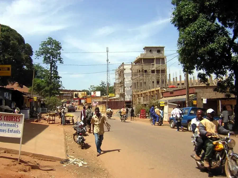
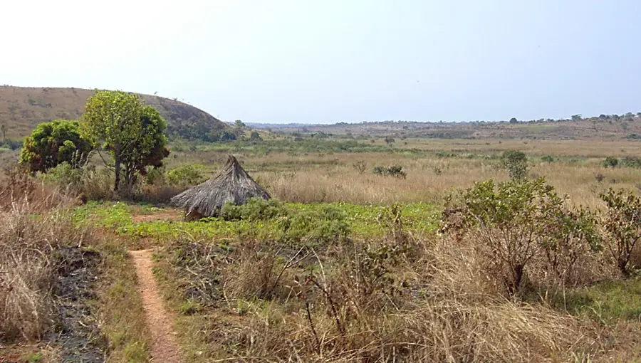
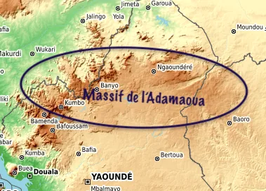
Ngaoundéré is the capital of the Adamawa Region in Cameroon, uniquely positioned on a high plateau at an elevation of approximately 1,200 meters. This altitude grants the city a significantly cooler and more pleasant climate than much of the country, making it a desirable location for residents and travelers alike. The city is most famous as the northern terminus of the Trans-Cameroon railway, a vital artery that connects the southern ports of Douala and the capital Yaounde to the northern provinces and landlocked Chad. As a major logistics hub, Ngaoundéré facilitates the transfer of heavy freight from rail to road, driving the regional economy. The city is also the historical seat of the Lamidat of Ngaoundéré, a traditional Islamic sultanate whose grand palace stands as a testament to the enduring influence of the Fulani culture and the Mboum people's heritage. The Adamawa plateau is Cameroon's primary cattle-rearing region, and Ngaoundéré serves as the chief livestock market, supplying beef to the southern urban centers. Culturally, the city is a diverse melting pot, hosting a bustling academic community at the University of Ngaoundéré, one of the nation's leading higher education institutions. Natural landmarks abound in the surrounding area, such as Lake Tison, a memorable volcanic crater lake, and the dramatic Vina Falls. The city's architecture reflects its dual identity, blending traditional mud-brick structures with modern railway installations and administrative buildings. Ngaoundéré remains a critical crossroads, bridging the geographical and economic divide between Cameroon's forested south and its sahelian north.
- Location: Cameroon
- Top sights: Place du cinquantenaire · Monument du cinquantenaire · Bois de Mardock
- Population: ~238.196 (2026)
Best time to visit & climate
The most pleasant time to visit is Jan, Nov, Dec.
| Jan | Feb | Mar | Apr | May | Jun | Jul | Aug | Sep | Oct | Nov | Dec | |
|---|---|---|---|---|---|---|---|---|---|---|---|---|
| Avg °C | 22 | 24 | 26 | 26 | 24 | 23 | 22 | 21 | 22 | 22 | 22 | 21 |
| Rain mm | 1 | 2 | 16 | 91 | 162 | 191 | 281 | 317 | 272 | 131 | 13 | 1 |
Geography
Facts
- Ngaoundéré is the capital of the Vina Department and the Adamawa Region.
- The city is a vital transit point for humanitarian aid heading to the Sahel region.
- The Lamido of Ngaoundéré is considered a first-class traditional ruler in Cameroon.
- Mount Ngaoundéré, which gives the city its name, rises to 1,460 meters.
- The city's economy is highly seasonal, tied to the arrival of goods from the coast.
- Ngaoundéré has a diverse population with significant Mboum, Fulani, and Tikar communities.
- The Vina Falls, located nearby, provide a source of hydroelectric potential for the region.
- The city is home to several major dairy processing plants serving northern Cameroon.
Explore nearby
Notable places around
Route planner — Car & Motorhome
Where do you start? We build the route here, with stops and country notes along the way.
© OpenStreetMap contributors · OpenRouteService
Sights in the town Ngaoundéré (3)
Frequently asked questions
Where is Ngaoundéré located?
What is the best way to reach the city?
What is the cultural highlight?
Are there crater lakes nearby?
What is the main economic driver?
Ngaoundéré: where is it located?
Ngaoundéré: what is there to see?
Ngaoundéré: when is the best time to visit?
Ngaoundéré: why is it worth visiting?

Nearby cities
More places