Plizio Visual Lab
Meiganga
ℹ️Practical info — Meiganga
▾
🌤 Weather — 5 days
📍 Nearby
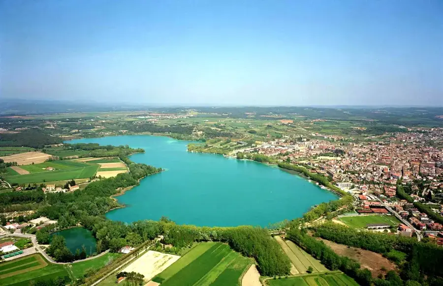
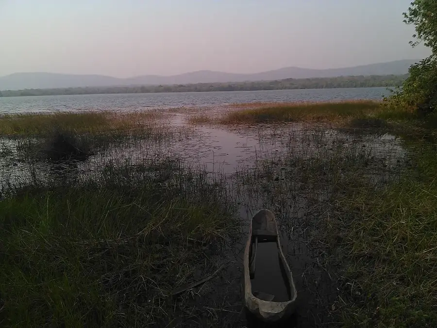
Sights nearby
💡 Tips
- The climate here in the Adamawa region is hotter and drier; always carry water with you.
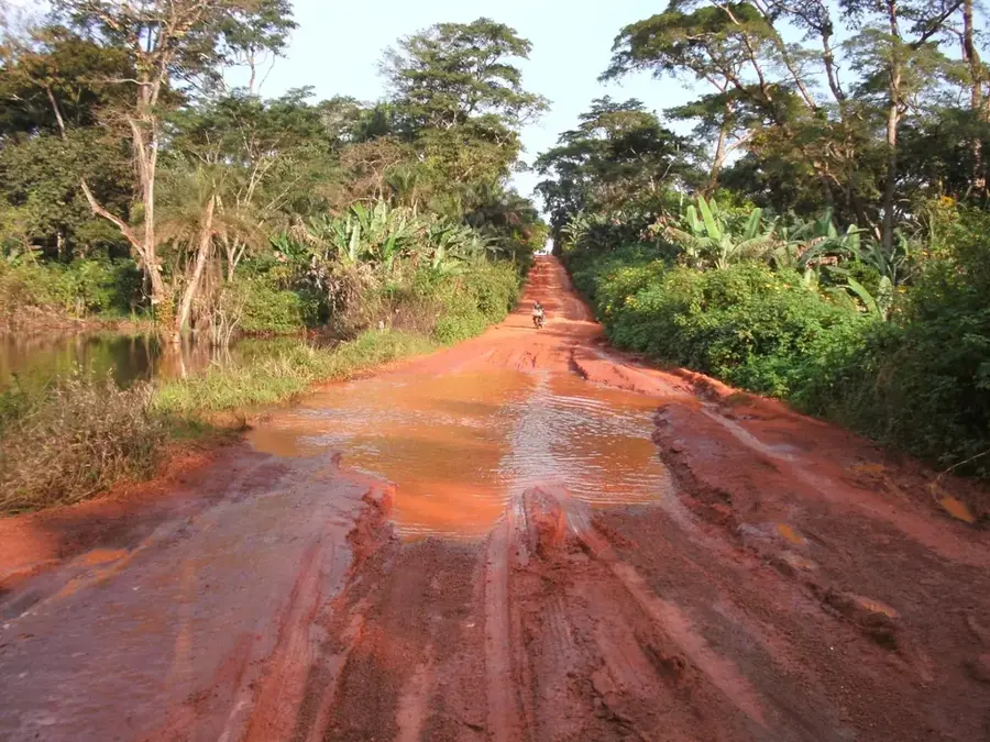
- As a transit town for trucks, main roads are busy, but the side streets are much quieter.
- Modest dress is appreciated in this region out of respect for local customs.
- Travel early in the morning to avoid the intense midday heat.
🍽 Food
Spicy meat skewers available in the evening from street vendors along the main road.
Spicy dried meat sold by local butchers and at market stalls.
A hearty meal served in almost all small local restaurants.
🛍 Shopping · 🧘 Quiet spots
Thanks to the local cattle industry, you can find quality leather at the central market.
Take home the flavors of the north from the vendors in the market.
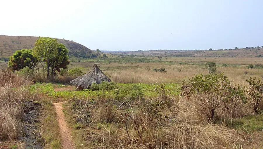
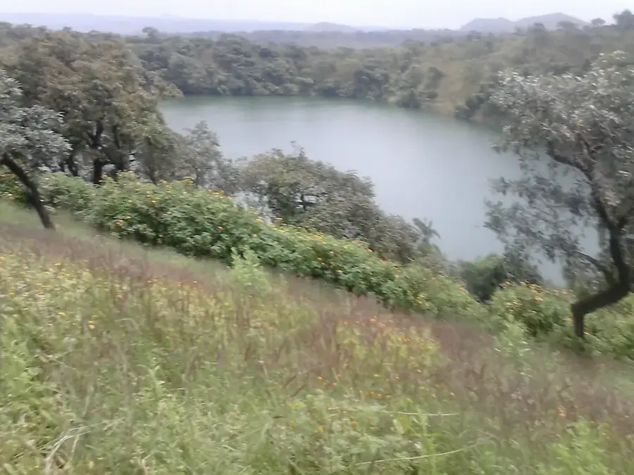
Features vast, undisturbed landscapes and beautiful sunset views.
Peaceful spots outside of prayer times (please always respect local rules).
Water temperature…
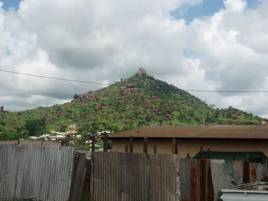
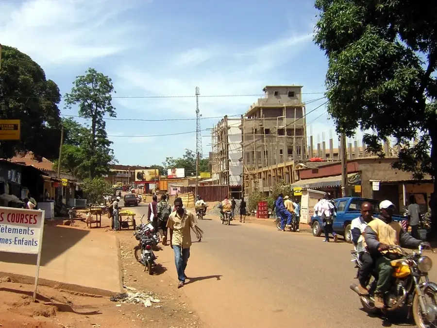
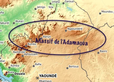
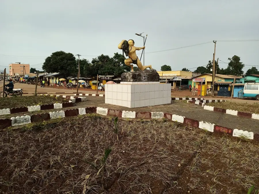
Meiganga is the capital of Mbéré Department in the Adamawa Region and sits at about 1 000 metres elevation on national road N1 between Ngaoundéré and the Central African Republic. The roughly 60 000 inhabitants mostly belong to the Gbaya people and Fulbe communities, joined by many CAR refugees. The town is a major cattle market, a hub for trans-Sahelian trade and a UNHCR reception site with the nearby Gado-Badzéré camp. The economy rests on yams, maize, cassava processing, charcoal and the cattle trade. Notable sites include the Catholic diocese of Meiganga, the central mosque, the Mbéré waterfalls and the nearby Mbéré Wildlife Reserve. The pleasant plateau climate, with a marked dry season from November to March, supports the open Guinea savanna with oil palms and acacias.
- Location: Cameroon
- Nearby: Garoua-Boulaï (74 km)
- Population: ~59.426 (2023)
Best time to visit & climate
The most pleasant time to visit is Jan, Nov, Dec.
| Jan | Feb | Mar | Apr | May | Jun | Jul | Aug | Sep | Oct | Nov | Dec | |
|---|---|---|---|---|---|---|---|---|---|---|---|---|
| Avg °C | 22 | 25 | 26 | 25 | 24 | 23 | 22 | 21 | 22 | 22 | 23 | 22 |
| Rain mm | 1 | 6 | 35 | 114 | 169 | 192 | 259 | 282 | 256 | 151 | 17 | 3 |
Geography
Facts
- Positioned on the high-altitude Adamaoua Plateau.
- Important transit town for north-south transport.
- Key center for regional cattle trade and livestock farming.
- Economic hub for the surrounding pastoral communities.
- Known for its cool climate and strategic transport access.
- Acts as a market node for agricultural products in the region.
Explore nearby
Notable places around
Route planner — Car & Motorhome
Where do you start? We build the route here, with stops and country notes along the way.
© OpenStreetMap contributors · OpenRouteService
Frequently asked questions
When is the best time to visit Meiganga?
How to get to Meiganga?
How many days should one plan?
What local specialty is there?
Is the city safe for tourists?
Meiganga: where is it located?
Meiganga: when is the best time to visit?
Meiganga: why is it worth visiting?

Nearby cities
More places