Plizio Visual Lab
Banyo
ℹ️Practical info — Banyo
▾
🌤 Weather — 5 days
📍 Nearby
Sights nearby
💡 Tips
- Banyo is in the drier north and heavily influenced by Islamic culture; dress modestly, especially when visiting local markets and near mosques.
- The Lamidat (traditional palace) of Banyo is a must-see; ask locally for permission and a guide to tour the colorful grounds.
- Evenings can bring quite a breeze from the nearby mountains, so pack a windbreaker or light sweater.
- As a trade hub, the market is spirited; Friday mornings are particularly busy and great for experiencing local commerce.
- Be prepared for limited internet connectivity; download offline maps and any translation tools before you arrive.
🍽 Food
Spicy skewered and grilled meat, typically beef. You'll smell the delicious aroma from street corners in the evening.
A thick maize porridge often served with okra or groundnut soup. Try it in traditional northern-style eateries.
Locally produced sour milk popular among the pastoralist communities; a refreshing local drink.
🛍 Shopping · 🧘 Quiet spots
Witness the lively trade of livestock and browse leather goods made from local hides.
Look for traditional northern embroidered gowns (boubous) and colorful woven hats in the main market.
Take a scenic walk towards the rolling hills surrounding the town for fresh air and peaceful pastoral landscapes.
The less busy areas around the palace walls offer a quiet spot to observe the local architecture and daily pace.
Water temperature…
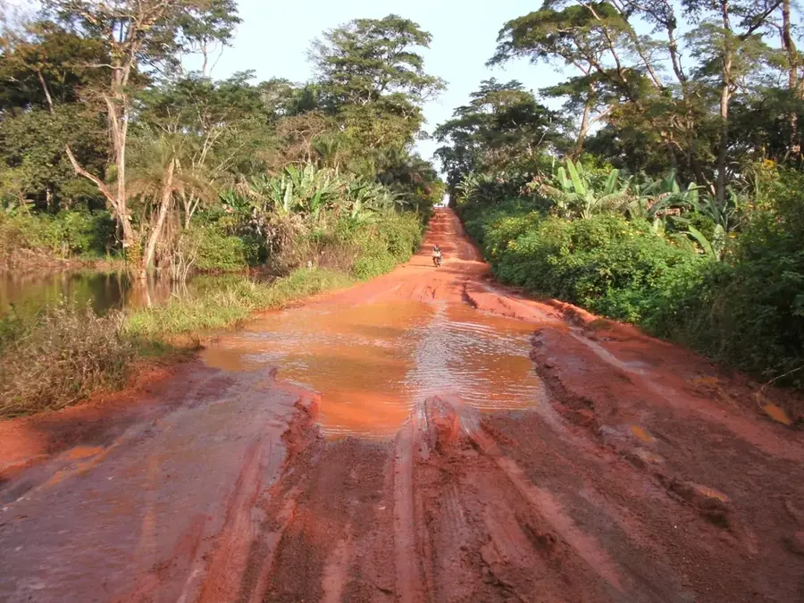
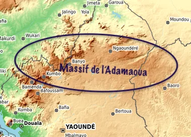
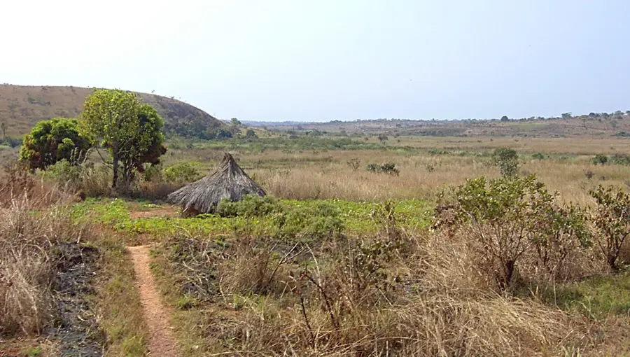
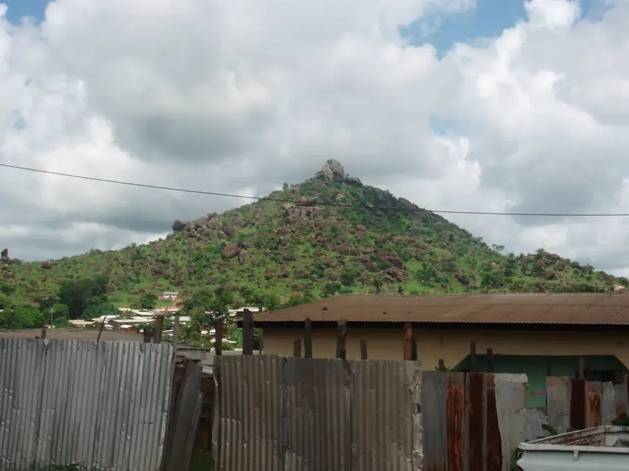
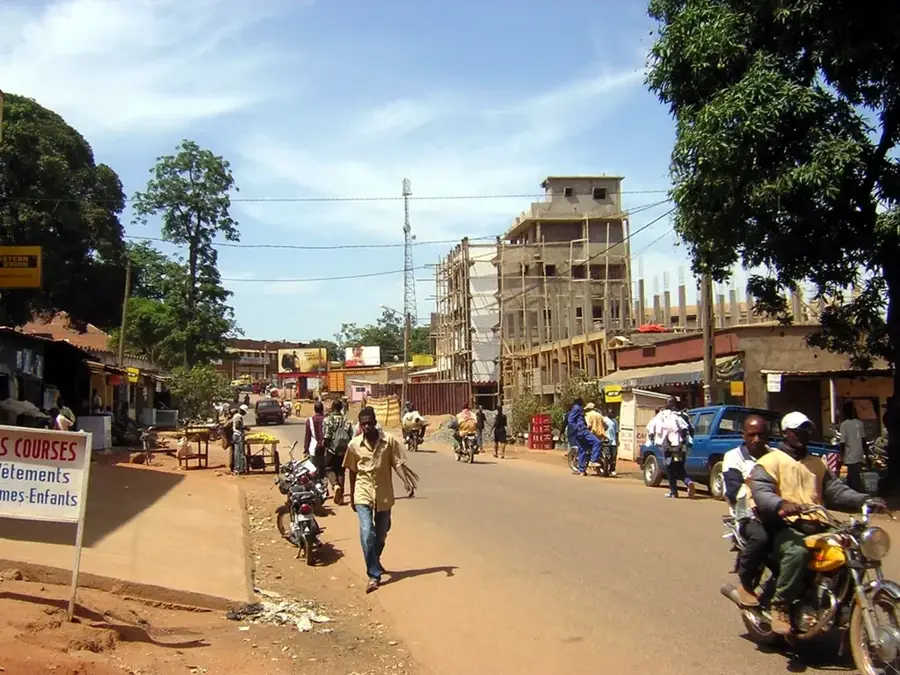
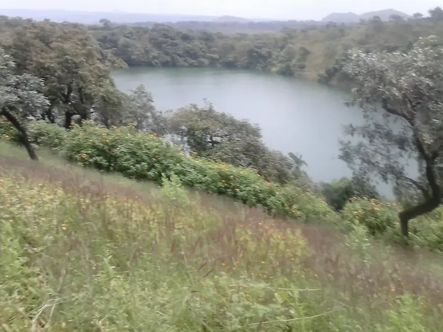
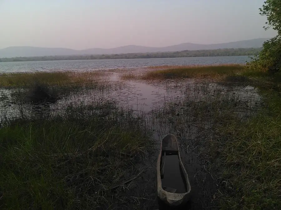
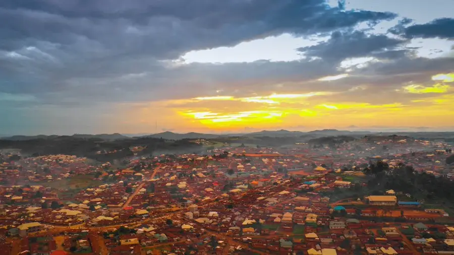
Banyo lies in the western part of the Adamawa Region on the slopes of the Tchabbal-Mbabo highlands at about 1 100 metres elevation. Its roughly 50 000 inhabitants are mostly Fulbe, Mbum and Tikar. The town hosts the influential Lamidat of Banyo, one of the country's oldest Muslim ruling houses, and is a significant centre of Islamic scholarship. The hilly landscape, rugged Mbam Mountains and nearby montane pastures favour extensive cattle herding: Banyo is one of the largest cattle markets of the Cameroonian plateau. Honey, groundnuts and maize are also important products. The town is the starting point for trekking into the Tchabbal-Mbabo Mountains, an ecologically rich area of montane grasslands and gallery forests. The mild plateau climate is noticeably cooler than the surrounding lowlands.
- Location: Cameroon
- Population: ~47.936 (2023)
Best time to visit & climate
The most pleasant time to visit is Jan, Feb, Dec.
| Jan | Feb | Mar | Apr | May | Jun | Jul | Aug | Sep | Oct | Nov | Dec | |
|---|---|---|---|---|---|---|---|---|---|---|---|---|
| Avg °C | 20 | 22 | 24 | 24 | 22 | 22 | 21 | 20 | 21 | 21 | 21 | 20 |
| Rain mm | 2 | 8 | 41 | 144 | 185 | 207 | 264 | 312 | 285 | 183 | 29 | 2 |
Geography
Facts
- Historical town with a long tradition of local chiefdoms.
- Strategically located in the Adamawa region.
- Important market hub for regional livestock and trade.
- High-altitude setting within the Adamaoua plateau landscape.
- Known for its cultural heritage and traditional governance.
- Vital link for local trade between rural interior communities.
Explore nearby
Notable places around
Route planner — Car & Motorhome
Where do you start? We build the route here, with stops and country notes along the way.
© OpenStreetMap contributors · OpenRouteService
Sights in the town Banyo (1)
Frequently asked questions
What is special about Banyo?
When is the climate most pleasant?
How to get there?
How long should one stay?
Are there local markets?
Banyo: where is it located?
Banyo: when is the best time to visit?
Banyo: why is it worth visiting?

Nearby cities
More places