Plizio Visual Lab
Baboua
ℹ️Practical info — Baboua
▾
🌤 Weather — 5 days
📍 Nearby
Sights nearby
💡 Tips
- Border town with Cameroon, expect delays at checkpoints.
- ATMs are non-existent, bring enough cash in CFA Francs.
- Roads are extremely dusty in the dry season, prepare accordingly.
- French and Sango are the primary languages used here.
🍽 Food
A classic local meal found at many basic roadside eateries.
Look for local vendors near the main transport hub.
Buy fresh bananas and mangoes directly from market vendors.
🛍 Shopping · 🧘 Quiet spots
The central spot for basic goods and fresh produce.
Look out for everyday items brought across the nearby border.
Features quiet opportunities for short walks.
A peaceful spot away from the busy main road.
Water temperature…
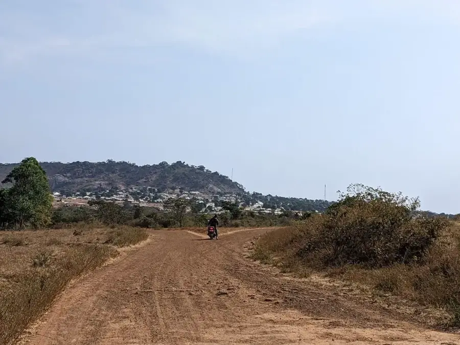
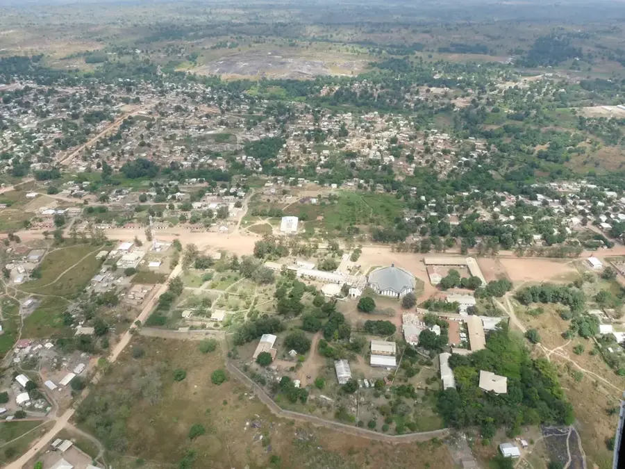
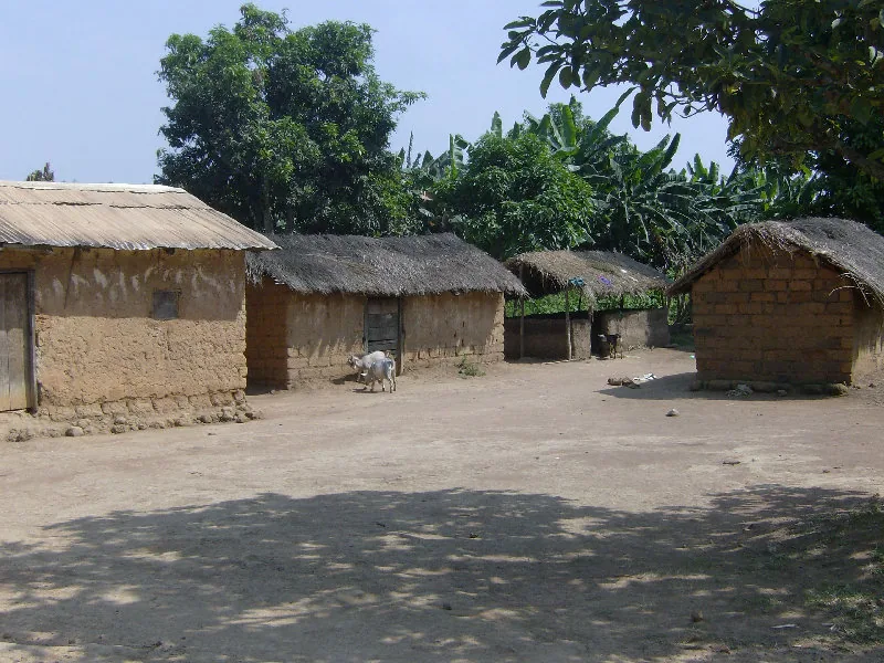
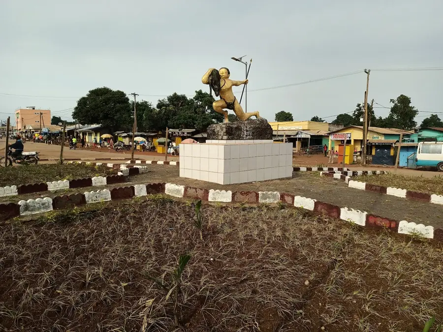
Baboua is a strategically vital border town located in the western Central African Republic, within the Nana-Mambéré prefecture. It lies directly on the RN3 highway, which connects Bangui to the Cameroonian border, making it a critical hub for international land transport. The town serves as a major customs and trade center, through which a significant portion of the landlocked country's imports pass. Geographically, Baboua is surrounded by the hilly terrain of the Yadé Massif, providing the region with a cooler climate compared to the lowlands in the south. Throughout history, Baboua has been a focal point for cross-border movements and cultural exchange between Central African and Cameroonian ethnic groups. The town's economic significance stems primarily from its location on the transit route, supplemented by local livestock farming and agriculture. Baboua remains a key symbol of regional connectivity and trade integration in Central Africa.
- Location: Central African Republic
- Nearby: Abba (65 km)
- Population: ~33.739 (2023)
Best time to visit & climate
The most pleasant time to visit is Jan, Nov, Dec.
| Jan | Feb | Mar | Apr | May | Jun | Jul | Aug | Sep | Oct | Nov | Dec | |
|---|---|---|---|---|---|---|---|---|---|---|---|---|
| Avg °C | 23 | 26 | 26 | 25 | 24 | 23 | 22 | 22 | 22 | 22 | 23 | 22 |
| Rain mm | 3 | 14 | 68 | 116 | 160 | 189 | 266 | 251 | 254 | 167 | 24 | 4 |
Geography
Facts
- Baboua is located on the RN3 highway near the Cameroon border.
- The town is a key customs post for trade moving towards Douala.
- It is situated at an elevation of about 1,000 meters in the Yadé Massif.
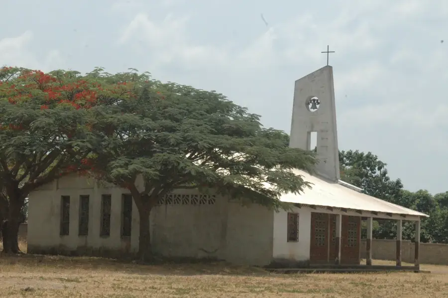
- Baboua is home to a significant Lutheran missionary presence.
- The local economy relies heavily on transit trade and logistics.
- The distance to the capital city, Bangui, is approximately 550 km.
Explore nearby
Notable places around
Route planner — Car & Motorhome
Where do you start? We build the route here, with stops and country notes along the way.
© OpenStreetMap contributors · OpenRouteService
Sights in the town Baboua (1)
Frequently asked questions
Where is Baboua located?
Why do travelers stop in Baboua?
Are there customs checks there?
What is the altitude of Baboua?
What is typical roadside food?
Baboua: where is it located?
Baboua: when is the best time to visit?
Baboua: why is it worth visiting?

Nearby cities
More places