Plizio Visual Lab
Boulon Forest

Weather…
Water temperature…
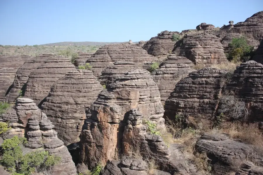
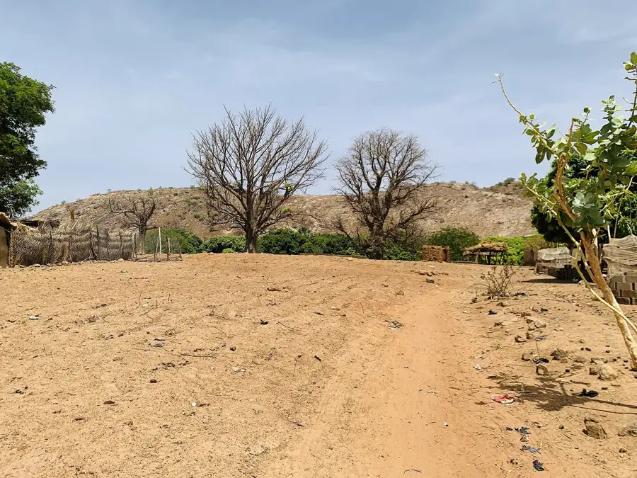
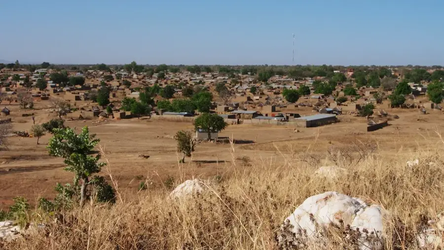
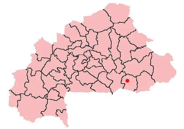
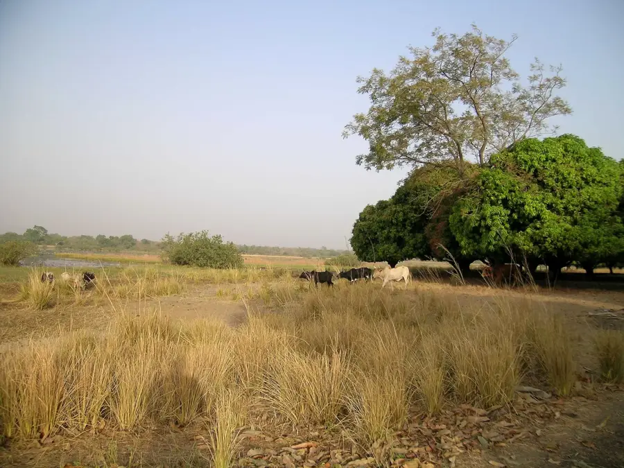
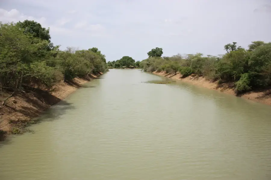
The Boulon Forest (Forêt Classée de Boulon) is located in western Burkina Faso, near the border with Mali, covering an area of approximately 12,000 hectares. Established as a protected forest in 1954, it serves as a crucial ecological corridor and a sanctuary for various wildlife species, including antelopes and primates. The landscape is a typical example of the Sudano-Sahelian transition zone, featuring a mix of dry deciduous forest and wooded savanna. Its environmental significance lies in its ability to stabilize the soil and regulate the local water cycle, which is vital for the surrounding agricultural lands. For the local ethnic groups, the forest holds deep cultural importance, often associated with traditional beliefs and the sustainable harvest of non-timber products. Recent conservation initiatives have focused on community-based management to address the challenges of illegal logging and climate change. Today, the Boulon Forest remains a key component of Burkina Faso's natural heritage and a focus of reforestation efforts to maintain regional biodiversity.
- Location: Burkina Faso
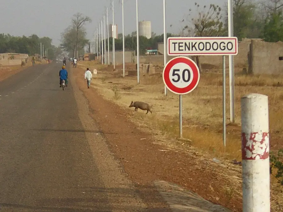
- Nearby: Gaoua (73 km)
Best time to visit & climate
The most pleasant time to visit is Jan, Nov, Dec.
| Jan | Feb | Mar | Apr | May | Jun | Jul | Aug | Sep | Oct | Nov | Dec | |
|---|---|---|---|---|---|---|---|---|---|---|---|---|
| Avg °C | 24 | 28 | 30 | 30 | 29 | 27 | 26 | 25 | 25 | 26 | 26 | 24 |
| Rain mm | 1 | 9 | 24 | 62 | 115 | 157 | 221 | 264 | 202 | 86 | 8 | 0 |
📋 Practical info
Geography
Facts
- Covers an area of about 12,000 hectares in western Burkina Faso.
- Designated as a protected forest reserve in 1954.
- Located in close proximity to the international border with Mali.
- Serves as a habitat for various primates and antelope species.
- Acts as a key regulator for the local groundwater levels.
- Part of the Sudano-Sahelian ecological buffer zone system.
Explore nearby
Notable places around
Route planner — Car & Motorhome
Where do you start? We build the route here, with stops and country notes along the way.
© OpenStreetMap contributors · OpenRouteService
Sights nearby
Frequently asked questions
Is the forest a national park?
What animals can be seen?
Is camping allowed?
Are there toilets?
What is the climate in the forest?
Boulon Forest: where is it located?
Boulon Forest: when is the best time to visit?
Boulon Forest: why is it worth visiting?

Nearby cities
Nature
More places