Plizio Visual Lab
Black Volta
Weather…
Water temperature…
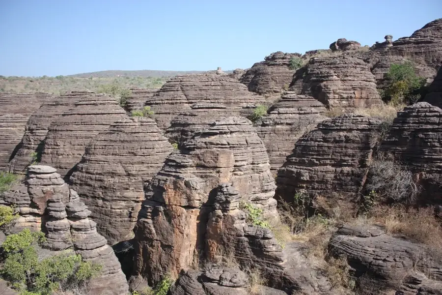
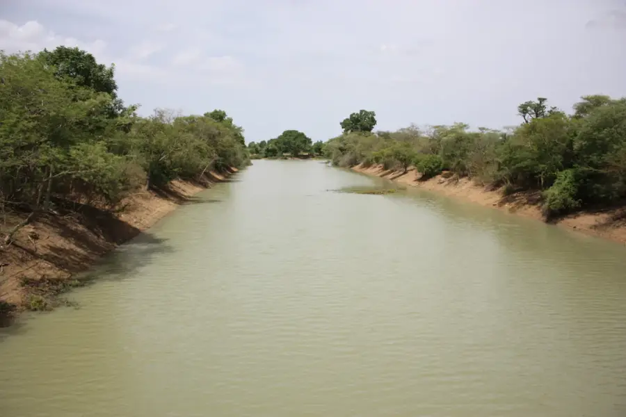
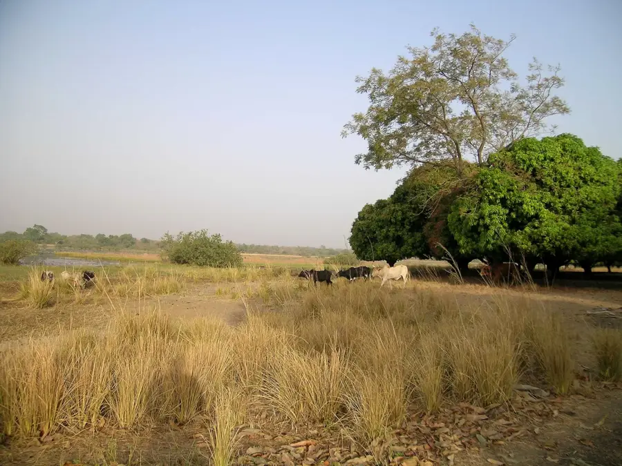
The Black Volta, known officially in Burkina Faso as the Mouhoun, is the only river in the country that maintains a permanent water flow throughout the entire year. Spanning a total length of approximately 1,352 kilometers, it originates in western Burkina Faso, flows in a distinctive northward and eastward curve before reaching the border with Ghana and eventually emptying into Lake Volta. The river plays a vital role in the Burkinabe economy and agriculture, serving as the primary source for irrigation projects and providing a habitat for numerous fish species. Along its banks, fertile soils are intensively cultivated, and significant gallery forests form essential ecosystems for local wildlife. Regulating the water flow through dams is a key focus of regional development to ensure hydroelectric power generation and consistent water supply. Despite its importance, the river faces threats from sedimentation and the impacts of climate change, necessitating coordinated conservation efforts among the riparian nations. It remains the hydrological backbone of western Burkina Faso and a symbol of natural permanence.
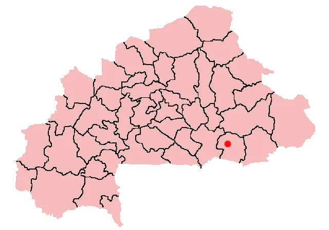
- Location: Burkina Faso
- Nearby: Houndé (31 km)
Best time to visit & climate
The most pleasant time to visit is Jan, Nov, Dec.
| Jan | Feb | Mar | Apr | May | Jun | Jul | Aug | Sep | Oct | Nov | Dec | |
|---|---|---|---|---|---|---|---|---|---|---|---|---|
| Avg °C | 24 | 28 | 31 | 32 | 31 | 29 | 27 | 26 | 26 | 27 | 26 | 24 |
| Rain mm | 1 | 3 | 10 | 43 | 82 | 122 | 198 | 254 | 174 | 60 | 4 | 0 |
📋 Practical info
Geography
Facts
- Total length of approximately 1,352 kilometers.
- Officially known as the Mouhoun in Burkina Faso.
- The only perennial river in Burkina Faso.
- Empties into Lake Volta on Ghanaian territory.
- Crucial resource for local fishing and irrigation projects.
- Forms a portion of the international border with Ghana.
Explore nearby
Notable places around
Route planner — Car & Motorhome
Where do you start? We build the route here, with stops and country notes along the way.
© OpenStreetMap contributors · OpenRouteService
Sights nearby
Frequently asked questions
Where does the Black Volta originate?
Are there hippos in the Black Volta?
Can you take boat tours?
Is fishing allowed in the river?
Does the river flow year-round?
Black Volta: where is it located?
Black Volta: when is the best time to visit?
Black Volta: why is it worth visiting?

Nearby cities
Nature
More places