Plizio Visual Lab
Dindivier Forest

Weather…
Water temperature…
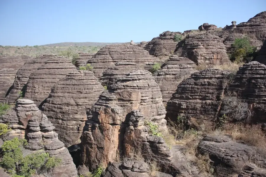
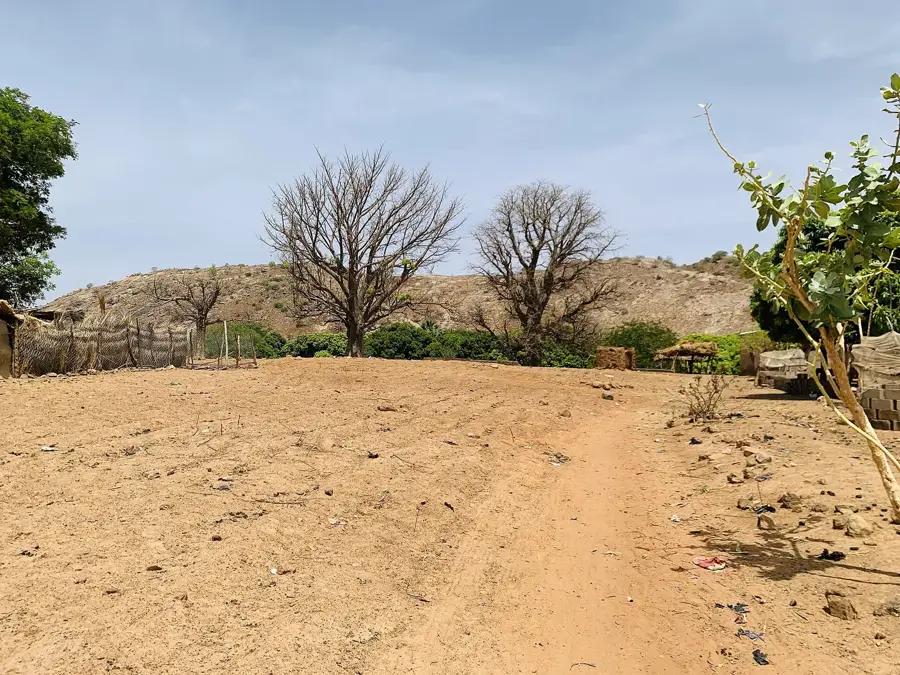
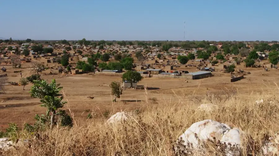
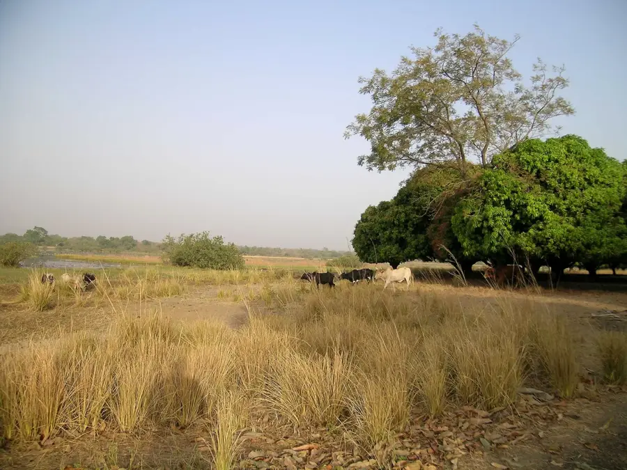
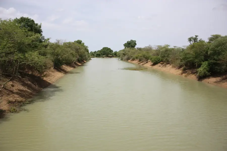
The Dindivier Forest extends across southwestern Burkina Faso in the water-rich Cascades region and is considered one of the country's best-preserved forested areas. Covering approximately 150 square kilometers, it comprises a mix of dry deciduous woodlands and dense gallery forests that thrive along the tributaries of the Comoé River. This region benefits from an above-average annual rainfall of about 1,100 millimeters, enabling a diverse flora with species such as West African mahogany. The forest serves as a critical refuge for threatened large mammals, particularly a small population of about 50 to 100 elephants finding convenient living conditions here. For the local population, the Dindivier Forest is an indispensable source of non-timber products like shea nuts, wild honey, and numerous medicinal plants deeply rooted in traditional medicine. Since its classification as a forest reserve in 1955, the area has been state-managed, though it faces increasing threats from slash-and-burn agriculture and illegal logging. Nevertheless, the forest remains an important ecological corridor contributing to regional climate stability and the protection of fragile soils. Hiking through this area gives nature enthusiasts an authentic impression of original Sudanian forest vegetation.
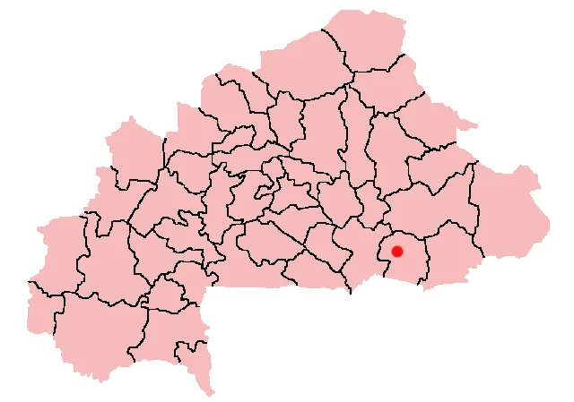
- Location: Burkina Faso
- Nearby: Bobo-Dioulasso (33 km)
Best time to visit & climate
The most pleasant time to visit is Jan, Nov, Dec.
| Jan | Feb | Mar | Apr | May | Jun | Jul | Aug | Sep | Oct | Nov | Dec | |
|---|---|---|---|---|---|---|---|---|---|---|---|---|
| Avg °C | 24 | 28 | 31 | 31 | 30 | 28 | 26 | 25 | 26 | 27 | 26 | 24 |
| Rain mm | 1 | 5 | 15 | 52 | 100 | 142 | 216 | 264 | 190 | 72 | 5 | 0 |
📋 Practical info
Geography
Facts
- Area: approx. 150 km² (58 sq miles)
- Status: Forest reserve since 1955
- Wildlife: Sanctuary for 50-100 elephants
- Rainfall: Average 1,100 mm (43 inches) per year
- Flora: Sudanian forest with mahogany and shea trees
- Hydrography: Part of the Comoé River basin
Explore nearby
Notable places around
Route planner — Car & Motorhome
Where do you start? We build the route here, with stops and country notes along the way.
© OpenStreetMap contributors · OpenRouteService
Sights nearby
Frequently asked questions
Which tree species dominate?
Is fire allowed in the forest?
How do you reach the forest?
Are there marked hiking trails?
Is the forest suitable for children?
Dindivier Forest: where is it located?
Dindivier Forest: when is the best time to visit?
Dindivier Forest: why is it worth visiting?

Nearby cities
Nature
More places