Plizio Visual Lab
Loropéni

Weather…
Water temperature…
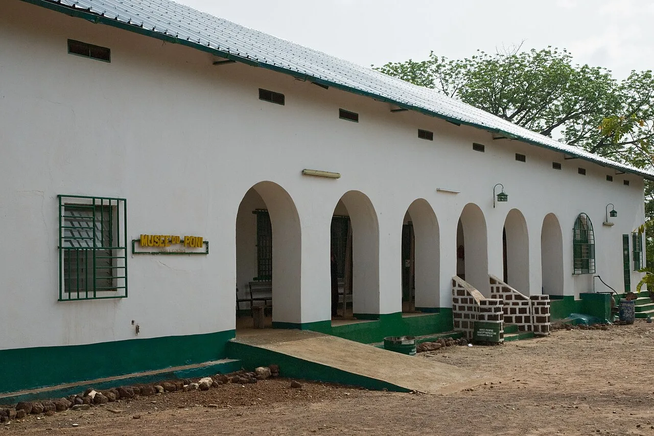
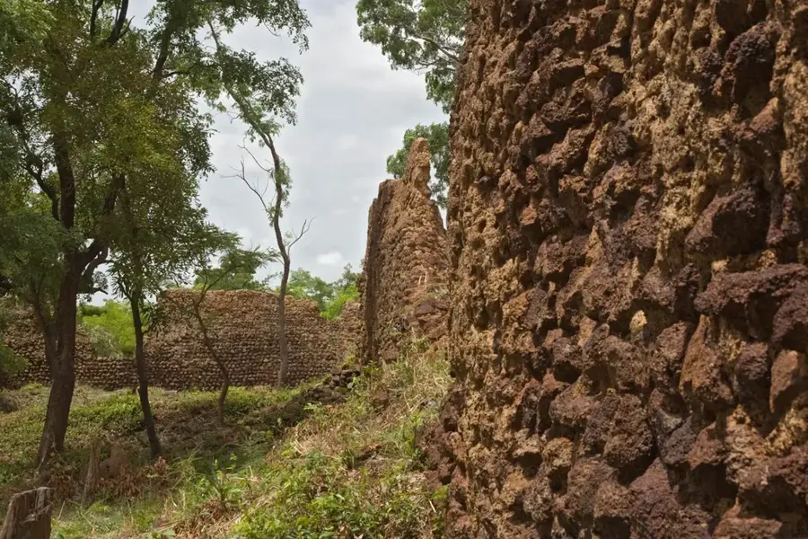
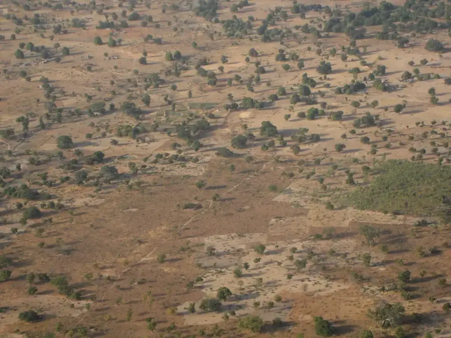
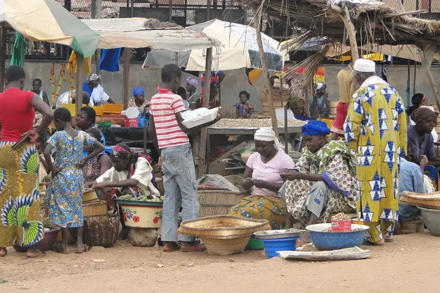
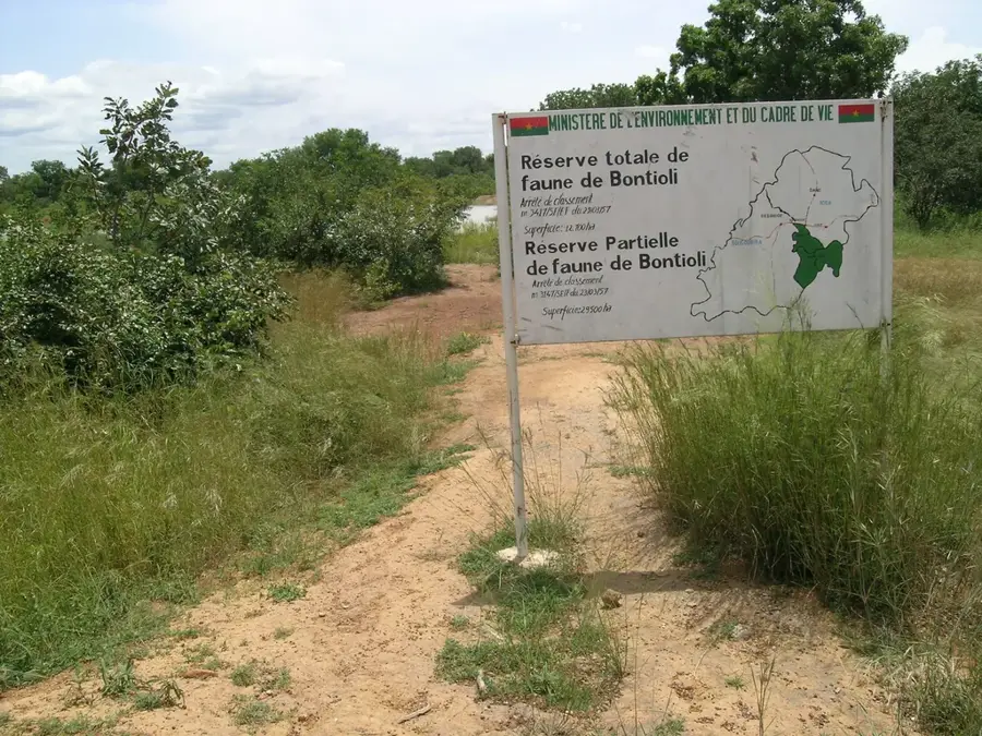
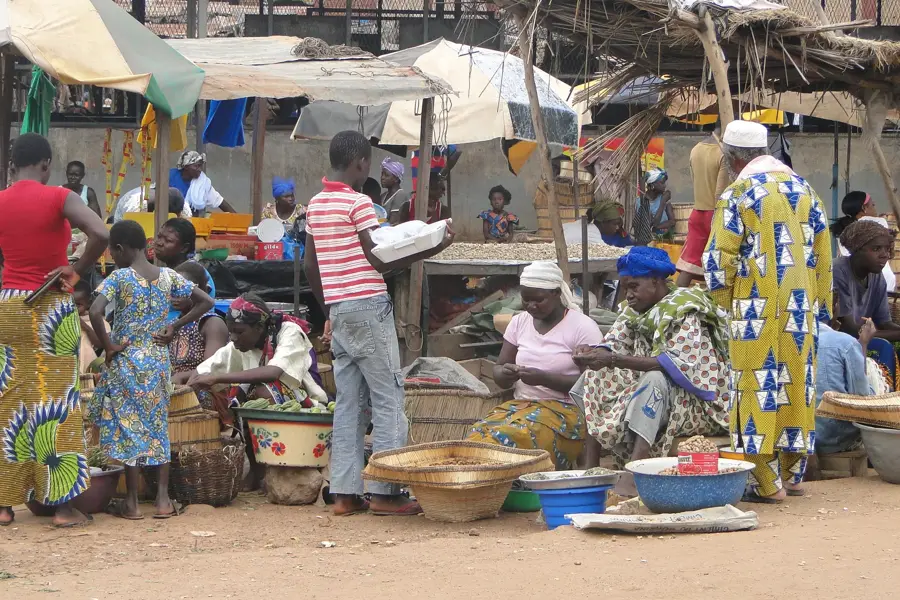
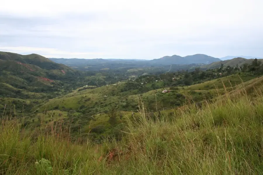
The Ruins of Loropéni consist of imposing laterite stone walls that once enclosed a large settlement. Dating back over a thousand years, it is the best-preserved of ten similar fortresses in the Lobi area and was inscribed as Burkina Faso's first UNESCO World Heritage site in 2009. The walls, reaching up to six meters high in some places, offer a tangible connection to the ancient trans-Saharan gold trade that flourished in this region. The site is surrounded by dense savanna and gallery forests, typical of the Sud-Ouest region. Local food options in the nearby town of Gaoua include regional staples and grilled bush meat. Traveling to Loropéni involves a long drive from Ouagadougou or Bobo-Dioulasso, and hiring a local guide at the entrance provides necessary historical context, as the ruins are un-restored and covered by large trees. Visiting is most practical between November and February to avoid the heavy summer rains and extreme heat. The nearby town of Gaoua serves as the main base for visitors, offering modest lodging and access to the Poni Museum.
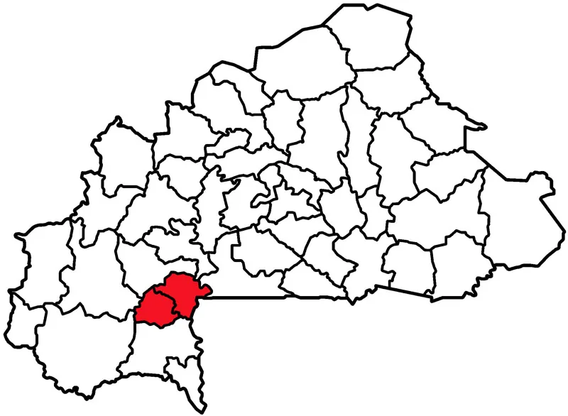
- Location: Burkina Faso
- Nearby: Gaoua (46 km)
Best time to visit & climate
The most pleasant time to visit is Jan, Nov, Dec.
| Jan | Feb | Mar | Apr | May | Jun | Jul | Aug | Sep | Oct | Nov | Dec | |
|---|---|---|---|---|---|---|---|---|---|---|---|---|
| Avg °C | 24 | 28 | 30 | 30 | 29 | 27 | 26 | 25 | 25 | 26 | 26 | 24 |
| Rain mm | 1 | 9 | 24 | 62 | 115 | 157 | 221 | 264 | 202 | 86 | 8 | 0 |
📋 Practical info
Geography
Facts
- UNESCO World Heritage
- 11th century origins
- Laterite stone walls
- 6 meters high walls
- Linked to gold trade
- Lobi region
- Abandoned in 19th century
- Covers 1.1 hectares
Explore nearby
Notable places around
Route planner — Car & Motorhome
Where do you start? We build the route here, with stops and country notes along the way.
© OpenStreetMap contributors · OpenRouteService
Sights in the town Loropéni (1)
Sights nearby
Frequently asked questions
Loropéni: where is it located?
Loropéni: when is the best time to visit?
Loropéni: why is it worth visiting?

Nearby cities
More places