Plizio Visual Lab
Banfora Cliffs
Weather…
Water temperature…
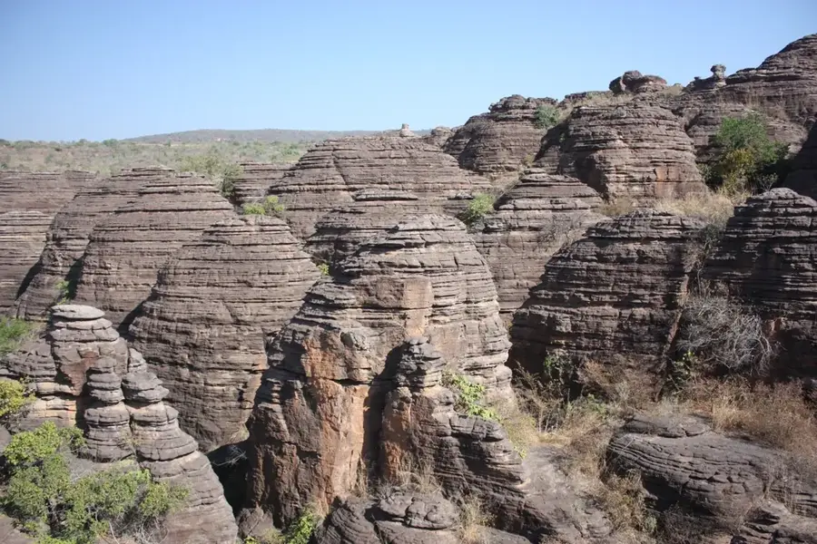
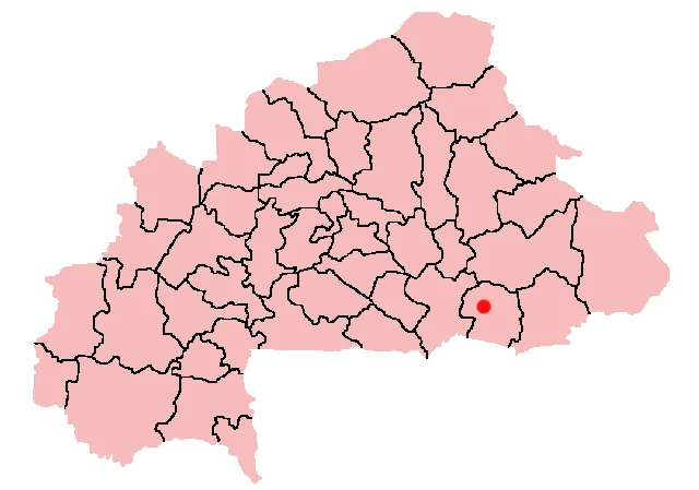
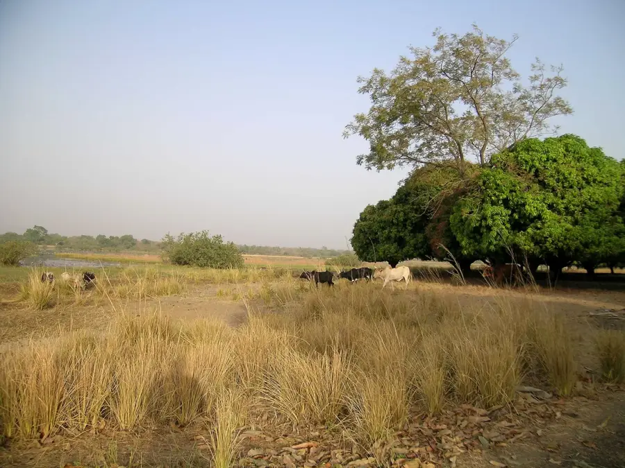
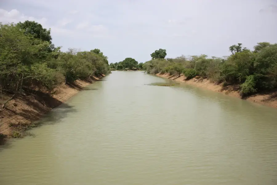
The Banfora Cliffs (Falaises de Banfora), also known as Monts Banfora, are a spectacular sandstone formation in southwestern Burkina Faso, near the town of Banfora in the Comoé Province. This geological escarpment stretches for approximately 150 kilometers, forming the edge of a high plateau that drops steeply into the plains below. The cliffs are composed of reddish sandstone that has been eroded by wind and water over millions of years into bizarre shapes, towers, and deep gorges. Nearby are the famous Karfiguéla Falls and the unique rock formations of Sindou, which together constitute one of the country's most important tourist highlights. Historically, the cliffs provided local communities with protection against invasions and served as spiritual centers for traditional ceremonies. The vegetation in the crevices and at the base of the cliffs is particularly lush due to higher humidity, harboring plant species that are otherwise rare in the drier savanna. Geologically, the formations are part of the Taoudeni Basin and offer researchers significant insights into the geological history of West Africa. Today, the Banfora Cliffs are known not only for their scenic beauty but also for the surrounding sugarcane plantations, which form the economic backbone of the region.
- Location: Burkina Faso
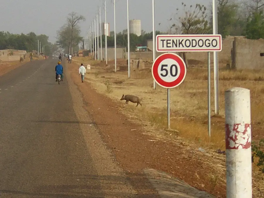
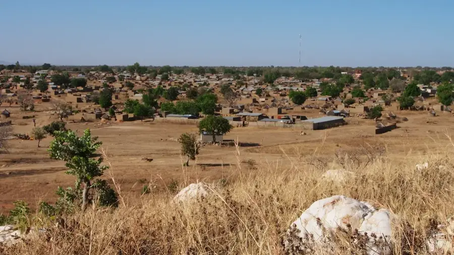
- Nearby: Banfora (7 km)
Best time to visit & climate
The most pleasant time to visit is Jan, Nov, Dec.
| Jan | Feb | Mar | Apr | May | Jun | Jul | Aug | Sep | Oct | Nov | Dec | |
|---|---|---|---|---|---|---|---|---|---|---|---|---|
| Avg °C | 25 | 28 | 30 | 31 | 29 | 27 | 26 | 25 | 26 | 27 | 26 | 25 |
| Rain mm | 2 | 9 | 23 | 65 | 118 | 162 | 237 | 277 | 215 | 86 | 8 | 0 |
📋 Practical info
Geography
Facts
- Located in the Comoé Province of southwestern Burkina Faso.
- Sandstone escarpment stretching about 150 kilometers.
- Part of the geological structure of the Taoudeni Basin.
- Near the major regional economic center of Banfora.
- Close proximity to Karfiguéla Falls and Sindou Peaks.
- Historically used as natural defensive positions by local tribes.
Explore nearby
Notable places around
Route planner — Car & Motorhome
Where do you start? We build the route here, with stops and country notes along the way.
© OpenStreetMap contributors · OpenRouteService
Sights nearby
Frequently asked questions
What are the Dômes de Fabedougou?
Can you climb on the rocks?
Are there waterfalls there?
How much time should I plan for?
Is the road there paved?
Banfora Cliffs: where is it located?
Banfora Cliffs: when is the best time to visit?
Banfora Cliffs: why is it worth visiting?

Nearby cities
Nature
More places