Plizio Visual Lab
Pirin Plateau

Weather…
Water temperature…
The Pirin Plateau refers to the high-altitude, often karstified plains and marble massifs of the northern Pirin Mountains. This landscape is geologically unique, composed of massive Proterozoic marble layers that contrast sharply with the granite formations of the rest of the range. The plateau is defined by extreme karst phenomena, such as deep chasms, grikes (karren fields), and subterranean cave systems. Especially striking is the area around the Vihren and Kutelo peaks, where the plateau forms nearly vertical cliffs. Due to the porous nature of the marble, there is virtually no surface water on the plateau; precipitation infiltrates immediately and only re-emerges at the foot of the mountains. Ecologically, the plateau hosts specialized calcicole flora and is part of the strictly protected 'Bayuvi Dupki-Dzhindzhiritsa' reserve. Climatic conditions are high alpine, with strong winds and extreme temperature fluctuations, limiting vegetation to resilient lichens and hardy grasses.
- Location: Bulgaria
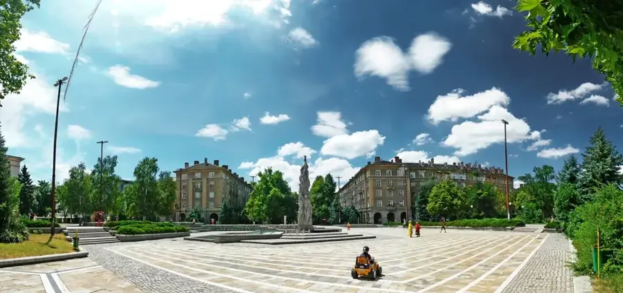
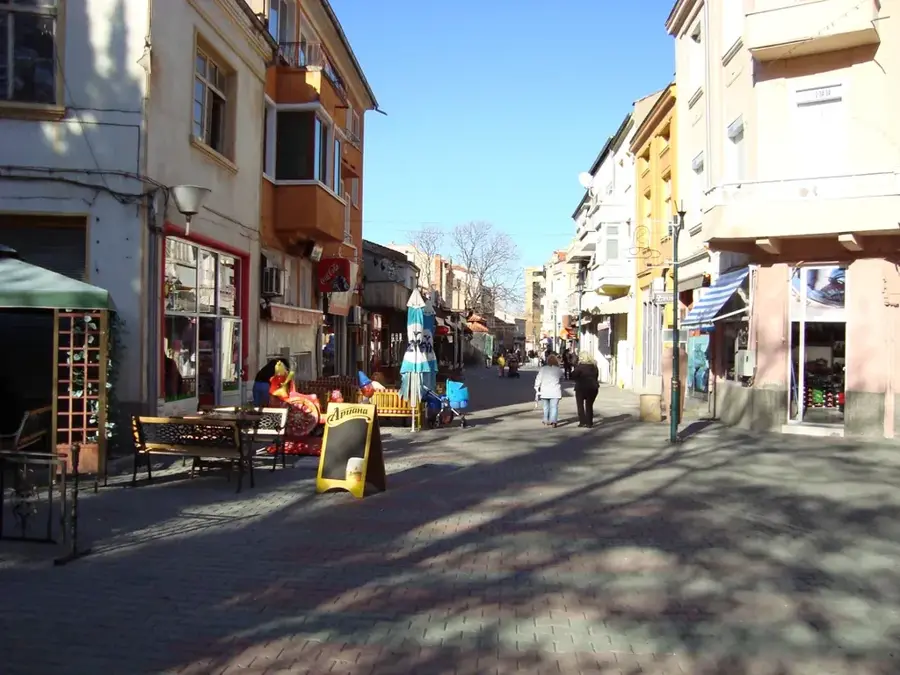
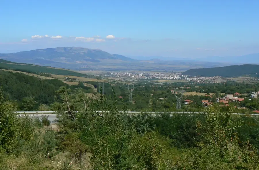
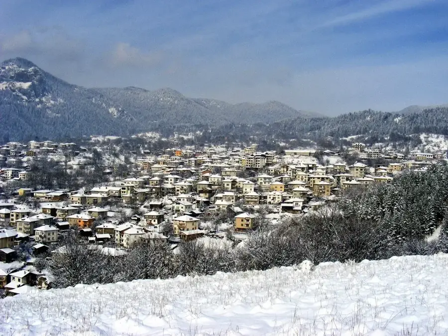
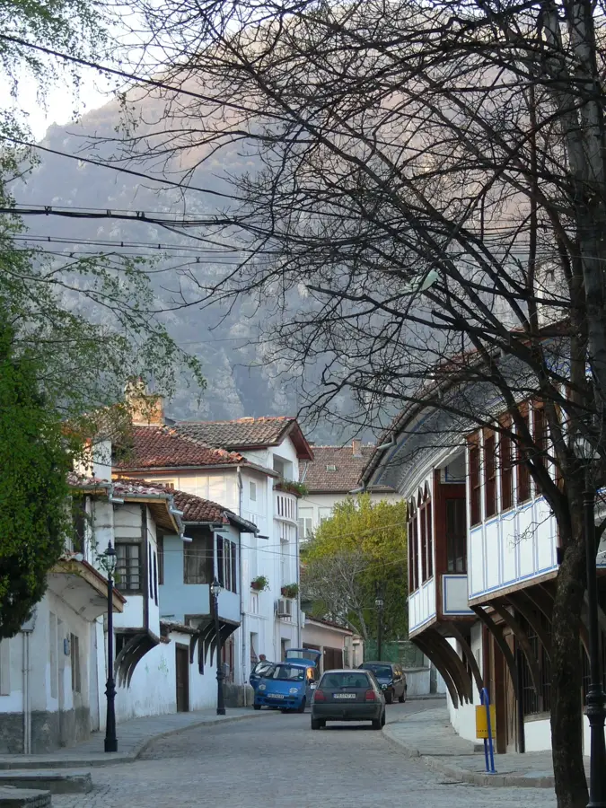
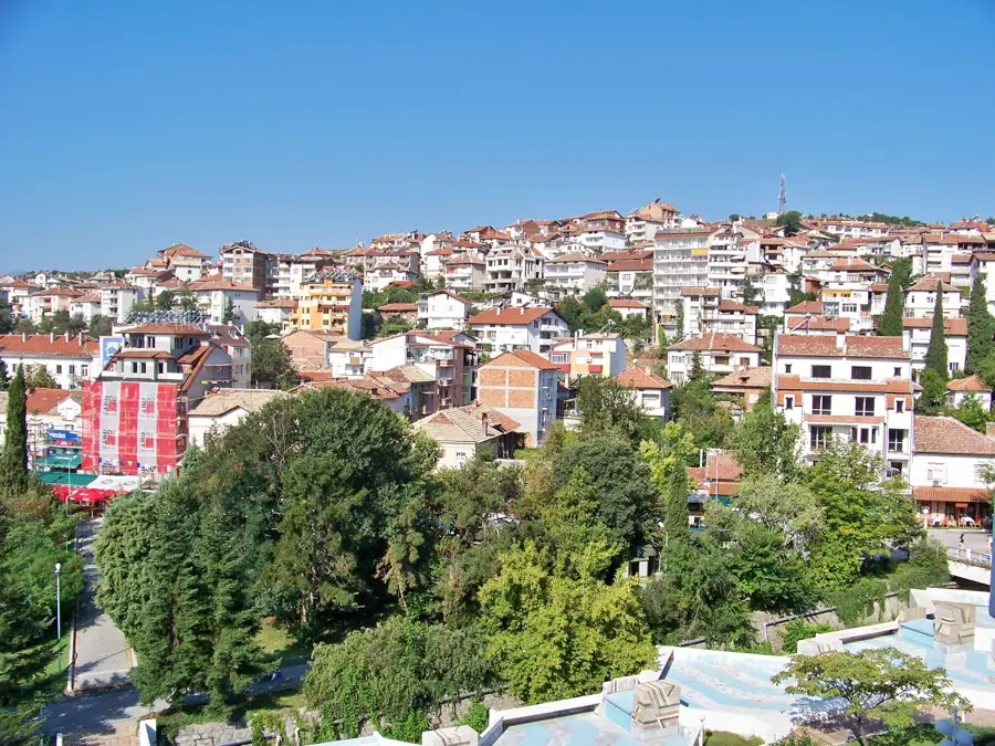
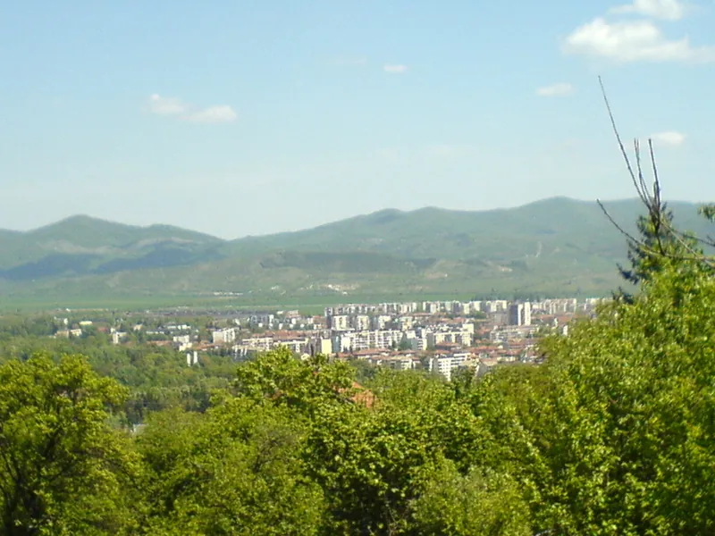
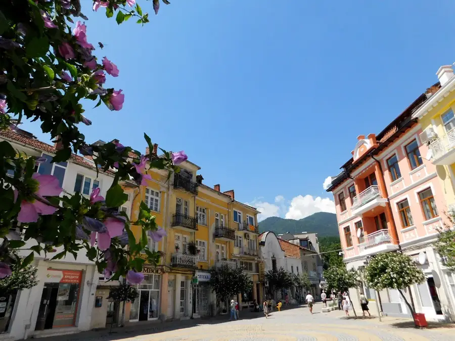
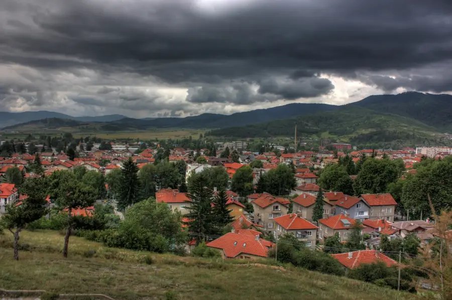
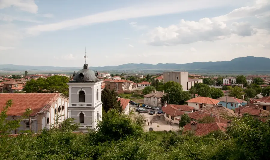
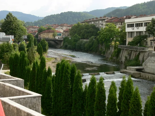
- Nearby: Kresna (13 km)
Best time to visit & climate
The most pleasant time to visit is Jun–Aug.
| Jan | Feb | Mar | Apr | May | Jun | Jul | Aug | Sep | Oct | Nov | Dec | |
|---|---|---|---|---|---|---|---|---|---|---|---|---|
| Avg °C | -1 | 1 | 4 | 9 | 14 | 19 | 22 | 22 | 17 | 11 | 6 | 1 |
| Rain mm | 53 | 43 | 55 | 51 | 60 | 62 | 44 | 35 | 48 | 53 | 46 | 62 |
📋 Practical info
Geography
Facts
- The plateau consists of marble estimated to be over 500 million years old.
- It contains some of the deepest vertical karst shafts in Bulgaria.
- Vihren, the highest marble peak in the Balkans (2,914m), is part of this massif.
- There are no permanent surface streams or lakes due to rapid karst infiltration.
- The plateau is a primary habitat for the Leontopodium alpinum (Edelweiss).
- Perennial snow patches are found in the deep karst funnels even during summer.
Explore nearby
Notable places around
Route planner — Car & Motorhome
Where do you start? We build the route here, with stops and country notes along the way.
© OpenStreetMap contributors · OpenRouteService
Sights nearby
Frequently asked questions
What is the Pirin Plateau?
Which is the highest mountain?
Are there marble mountains?
How many lakes are there?
What is the Baykushev Pine?
Pirin Plateau: where is it located?
Pirin Plateau: when is the best time to visit?
Pirin Plateau: why is it worth visiting?

Nearby cities