Plizio Visual Lab
Strandzha Ridge
Weather…
Water temperature…
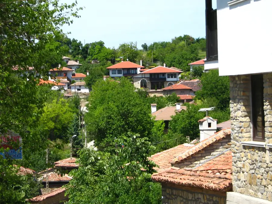
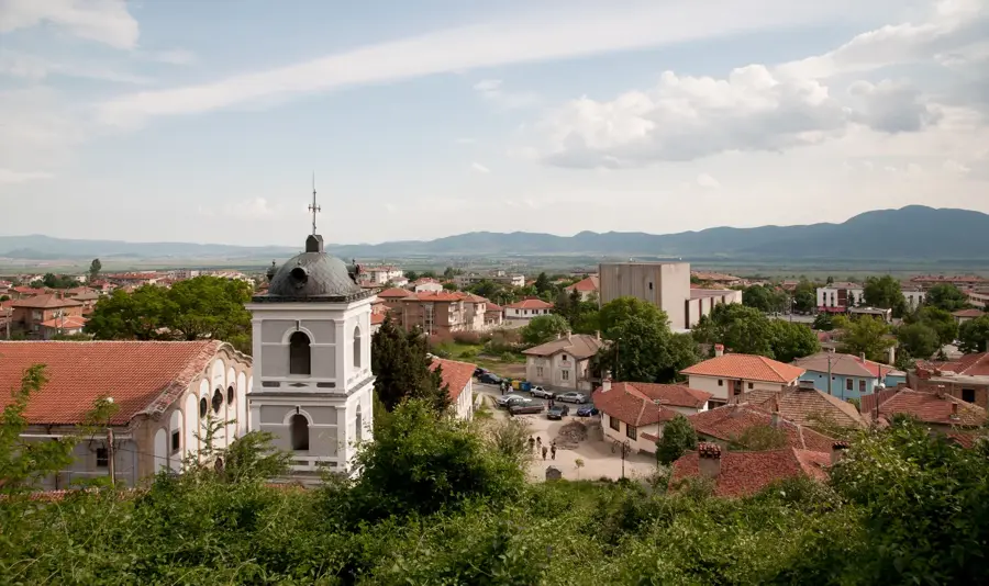
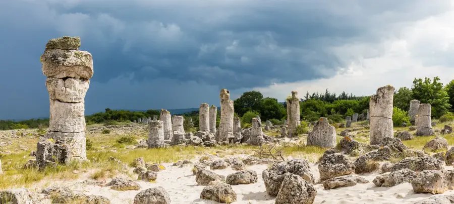
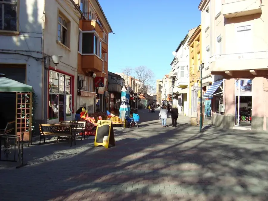
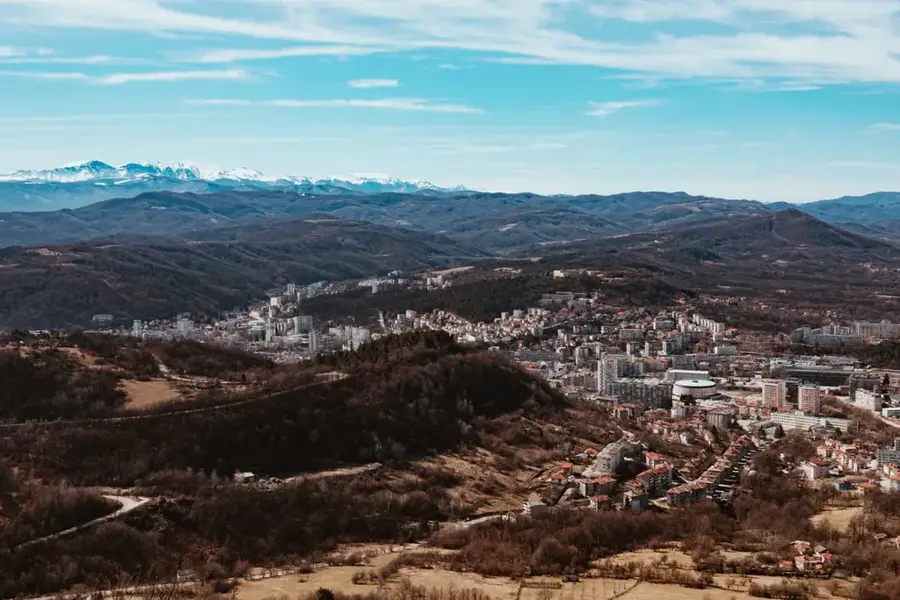
The Strandzha Ridge is a gently undulating mountain range in southeastern Bulgaria that extends into Turkey, serving as a unique ecological bridge between Europe and Asia Minor. Geologically, the range is composed of metamorphic rocks and granite intrusions, where millions of years of erosion have resulted in a subdued, plateau-like topography. The highest peak on the Bulgarian side is Mount Gradishte, reaching an elevation of 710 meters. The climate is uniquely influenced by both the Black Sea and the Mediterranean, resulting in mild winters and exceptionally high humidity. Historically, Strandzha was a major hub of Thracian civilization, evidenced by numerous megalithic structures and rock sanctuaries like Mishkova Niva. The region encompasses Bulgaria's largest natural park and is renowned for its Tertiary relict flora, most notably the Rhododendron ponticum. Economically, the area relies on sustainable forestry and a developing rural tourism sector. Ancient cultural traditions, such as the fire-walking ritual known as Nestinarstvo, have been preserved here for centuries. The massif's long-term geomorphological stability made it a critical refuge for flora and fauna during the Pleistocene glaciations.
- Location: Bulgaria
- Top sights: Kocayazı Kula Yolu Tümülüsü · Kocayazı Paraşüttepe 2 Tümülüsü · Terzidere Topkoru 1 Tümülüsü
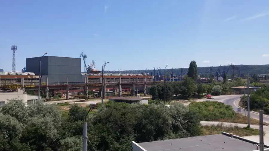
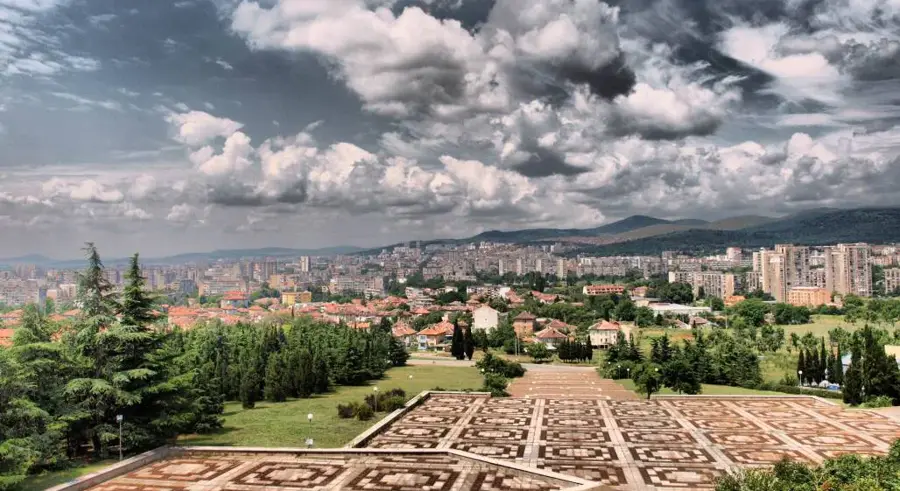
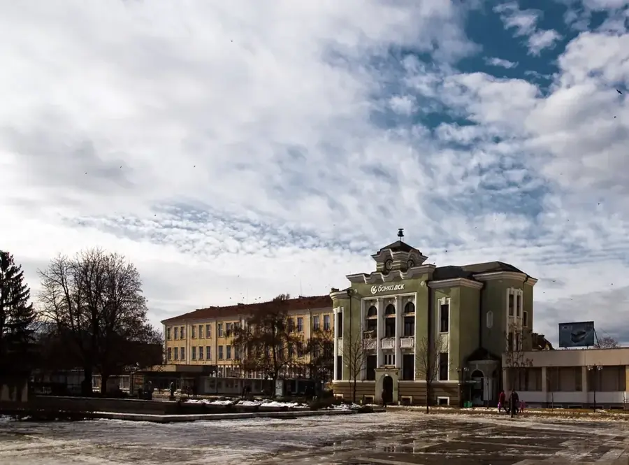
- Nearby: Batenberg (Burgas 2) (51 km)
Best time to visit & climate
The most pleasant time to visit is Jun, Aug, Sep.
| Jan | Feb | Mar | Apr | May | Jun | Jul | Aug | Sep | Oct | Nov | Dec | |
|---|---|---|---|---|---|---|---|---|---|---|---|---|
| Avg °C | 1 | 3 | 7 | 11 | 16 | 21 | 24 | 24 | 19 | 13 | 8 | 3 |
| Rain mm | 68 | 49 | 47 | 39 | 49 | 52 | 42 | 21 | 50 | 67 | 49 | 65 |
📋 Practical info
Geography
Facts
- Strandzha Natural Park covers an area of 1,161 square kilometers.
- The Rhododendron ponticum typically blooms in this region during May.
- The village of Balgari is the primary center for the Nestinarstvo tradition.
- The region is home to over 50% of Bulgaria's vascular plant species.
- The average elevation of the range is between 300 and 400 meters.
- The Thracian sanctuary of Mishkova Niva dates back to the 5th century BC.
Explore nearby
Notable places around
Route planner — Car & Motorhome
Where do you start? We build the route here, with stops and country notes along the way.
© OpenStreetMap contributors · OpenRouteService
Sights in the town Strandzha Ridge (3)
Sights nearby
Frequently asked questions
Where are the Strandzha Mountains located?
What is Nestinarstvo?
Are there national parks?
What flora is special?
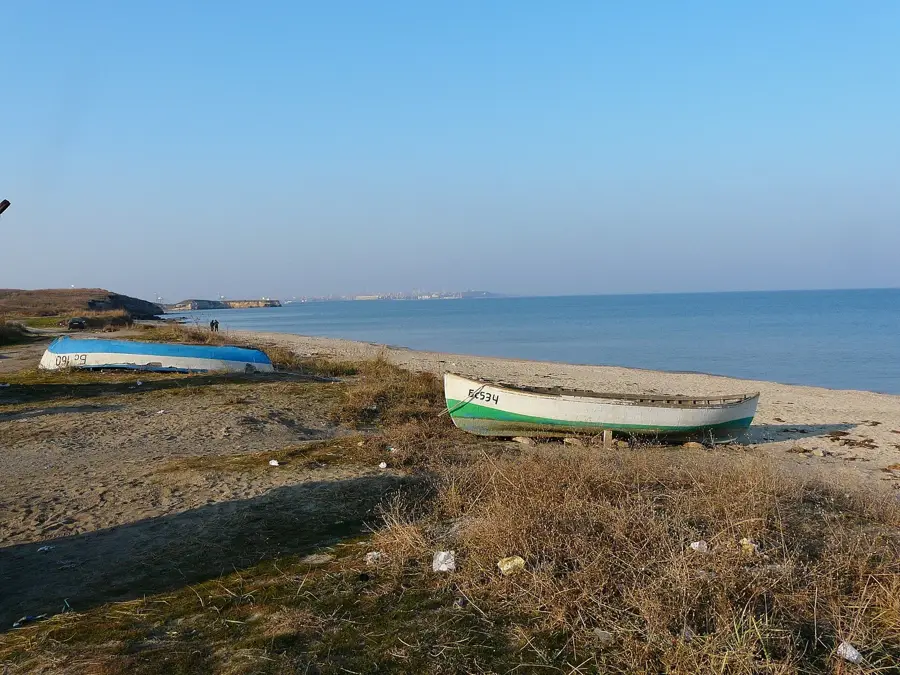
How far is the sea?
Strandzha Ridge: where is it located?
Strandzha Ridge: what is there to see?
Strandzha Ridge: when is the best time to visit?
Strandzha Ridge: why is it worth visiting?

Nearby cities
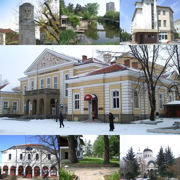


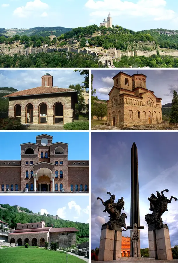
History & landmarks