Plizio Visual Lab
Mesta River
Weather…
Water temperature…
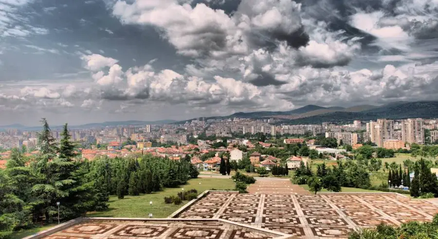
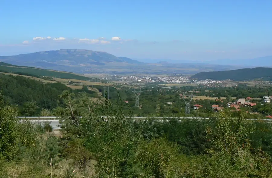
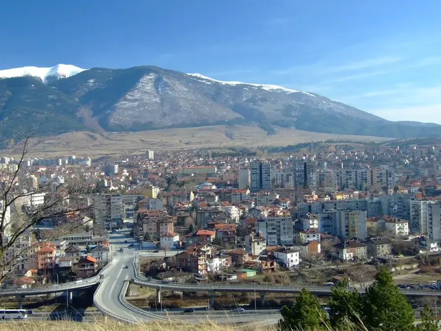
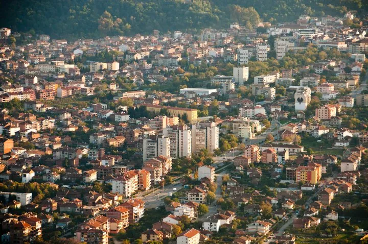
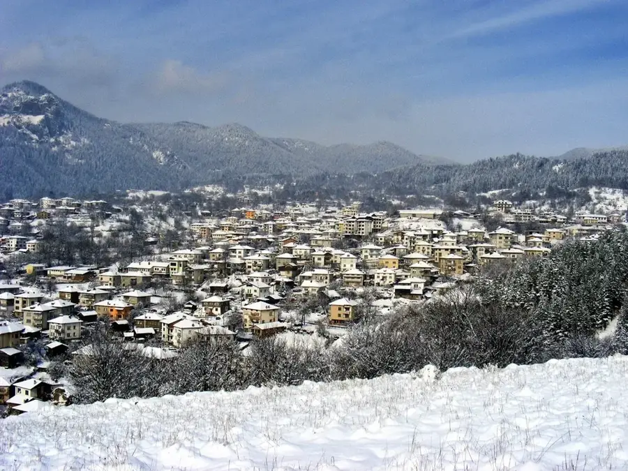
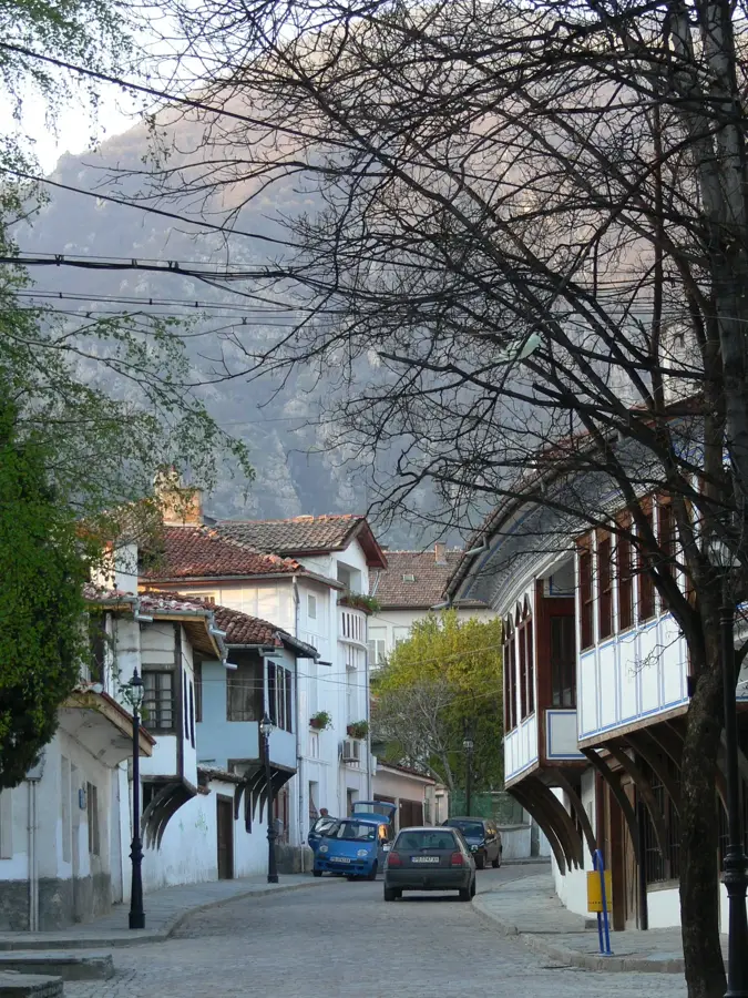
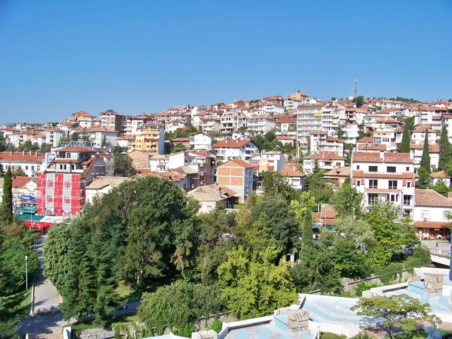
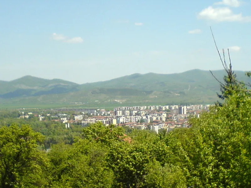
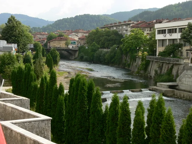
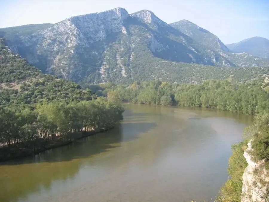
The Mesta River is a scenic mountain river in southwestern Bulgaria, with a total length of 273 kilometers, of which 126 kilometers are within Bulgarian borders. Formed by the confluence of the White Mesta and Black Mesta in the Rila Mountains, it flows southward through a deep valley set between the Pirin and Rhodope mountain ranges. This strategic location creates a spectacular landscape of narrow gorges, such as the Momina Klisura pass, and wide basins near the town of Gotse Delchev. The Mesta is renowned for its crystal-clear waters and is a favored destination for whitewater rafting and kayaking. The river's drainage basin is ecologically highly significant, hosting numerous endemic plant and animal species due to its proximity to major national parks. After leaving Bulgaria, the river flows through Greece as the Nestos and finally empties into the Aegean Sea opposite the island of Thassos. Historically, the Mesta valley served as an important trade and military route connecting the interior of the Balkans with the Aegean coast.
- Location: Bulgaria
- Nearby: Trigrad (20 km)
Best time to visit & climate
The most pleasant time to visit is Jun–Aug.
| Jan | Feb | Mar | Apr | May | Jun | Jul | Aug | Sep | Oct | Nov | Dec | |
|---|---|---|---|---|---|---|---|---|---|---|---|---|
| Avg °C | -1 | 0 | 4 | 8 | 14 | 18 | 21 | 21 | 16 | 11 | 6 | 1 |
| Rain mm | 58 | 46 | 56 | 49 | 59 | 62 | 43 | 30 | 48 | 53 | 50 | 65 |
📋 Practical info
Geography
Facts
- The Mesta River covers 126 kilometers in Bulgaria before entering Greece.
- Its source is located at an elevation of 2,240 meters in the high Rila Mountains.
- The river is the primary hydrological feature of the Razlog and Gotse Delchev valleys.
- The Mesta valley is a vital corridor for bird migration between Europe and Africa.
- Historically, the river was the border between several ancient administrative regions.
- The river basin includes parts of the Pirin National Park, a UNESCO World Heritage site.
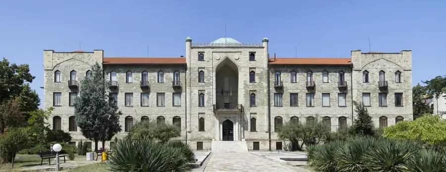
Explore nearby
Notable places around
Route planner — Car & Motorhome
Where do you start? We build the route here, with stops and country notes along the way.
© OpenStreetMap contributors · OpenRouteService
Sights nearby
Frequently asked questions
Between which mountains does the Mesta flow?
Are there thermal springs in the Mesta valley?
Which train connection runs through the valley?
Can you go rafting?
Where does the Mesta flow?
Mesta River: where is it located?
Mesta River: when is the best time to visit?
Mesta River: why is it worth visiting?

Nearby cities