Plizio Visual Lab
Koprinka Dam

Weather…
Water temperature…
Koprinka Dam was constructed between 1947 and 1954 on the Tundzha River in central Bulgaria. During its construction, archaeologists made a sensational discovery: the remains of Seuthopolis, the capital of the ancient Thracian Odrysian kingdom. The city, founded by Seuthes III in the 4th century BC, was fully excavated before being submerged by the dam's reservoir. Today, Seuthopolis remains entirely underwater at the bottom of the lake. The dam itself features a wall over 600 meters long and 44 meters high, serving as a major source for irrigation and hydroelectric power. The reservoir is a popular destination for water sports, fishing, and camping, offering panoramic views of the Balkan Mountains. It stands as a unique site where modern infrastructure meets submerged ancient history. Various proposals have been made to build a circular dam around the ruins of Seuthopolis to make them accessible again.
- Location: Bulgaria
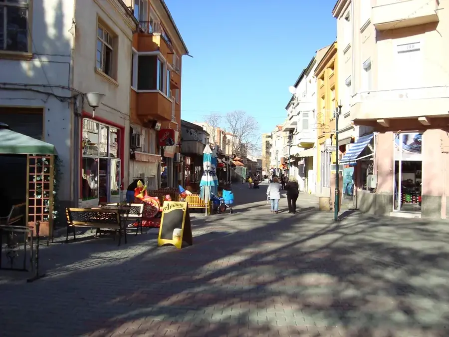
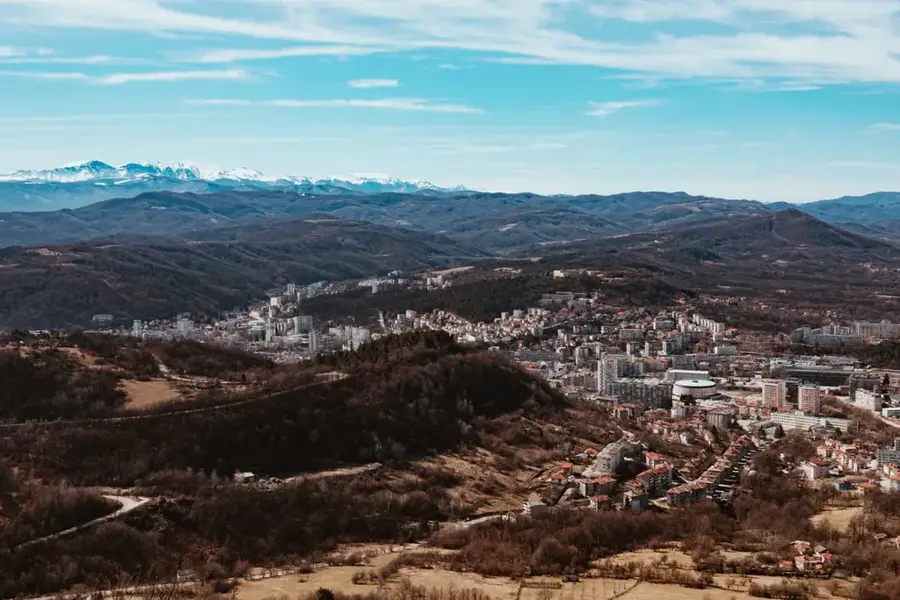
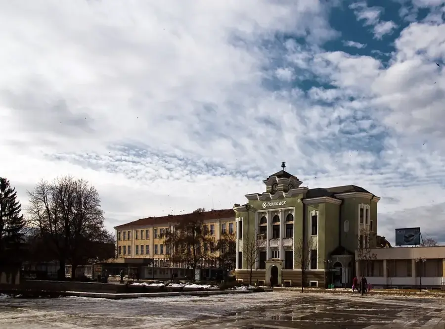
- Nearby: Gabrovo (27 km)
Best time to visit & climate
The most pleasant time to visit is Jun, Aug, Sep.
| Jan | Feb | Mar | Apr | May | Jun | Jul | Aug | Sep | Oct | Nov | Dec | |
|---|---|---|---|---|---|---|---|---|---|---|---|---|
| Avg °C | 0 | 2 | 6 | 11 | 16 | 21 | 24 | 24 | 18 | 12 | 7 | 1 |
| Rain mm | 54 | 44 | 51 | 44 | 74 | 75 | 64 | 43 | 54 | 56 | 43 | 58 |
📋 Practical info
Geography
Facts
- Built between 1947 and 1954 on the Tundzha River
- Submerged the ancient Thracian capital Seuthopolis
- Dam wall length exceeds 600 meters
- The dam reaches a height of 44 meters
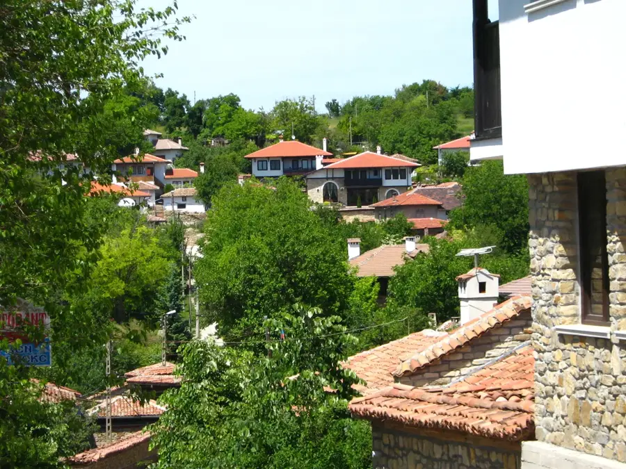
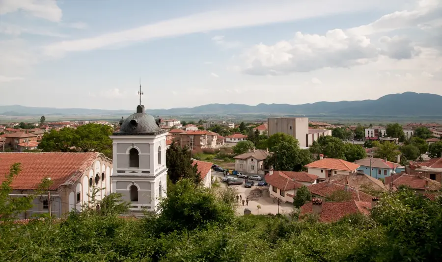
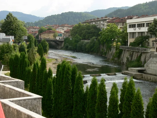
- Located in the Rose Valley near Kazanlak
- Crucial for irrigation and hydroelectric power generation
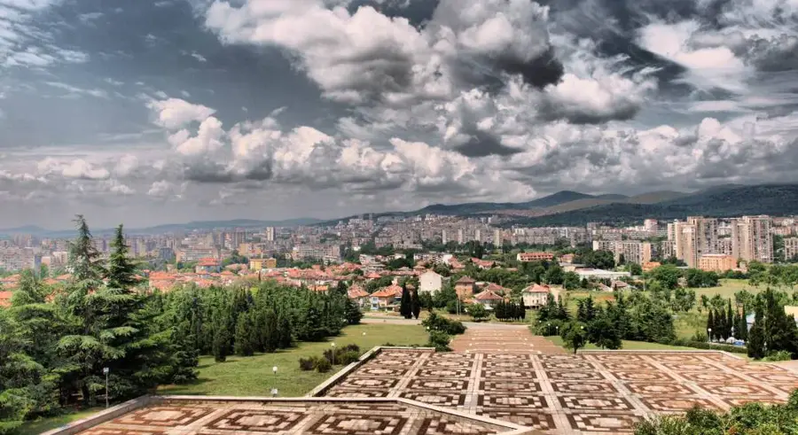
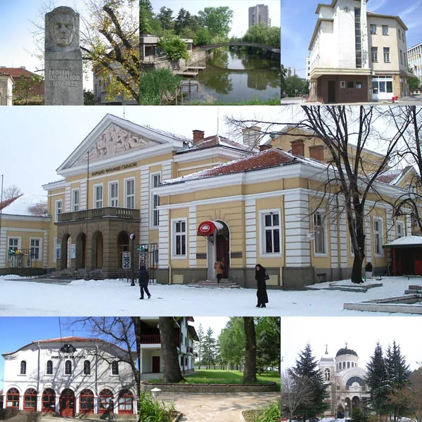
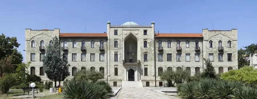
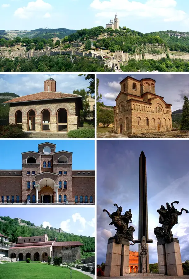
Explore nearby
Notable places around
Route planner — Car & Motorhome
Where do you start? We build the route here, with stops and country notes along the way.
© OpenStreetMap contributors · OpenRouteService
Sights nearby
Frequently asked questions
Can you swim in the Koprinka Reservoir?
What is located beneath the water surface?
Are there restaurants at the dam?
Can you walk on the dam wall?
Is the place suitable for anglers?
Koprinka Dam: where is it located?
Koprinka Dam: when is the best time to visit?
Koprinka Dam: why is it worth visiting?

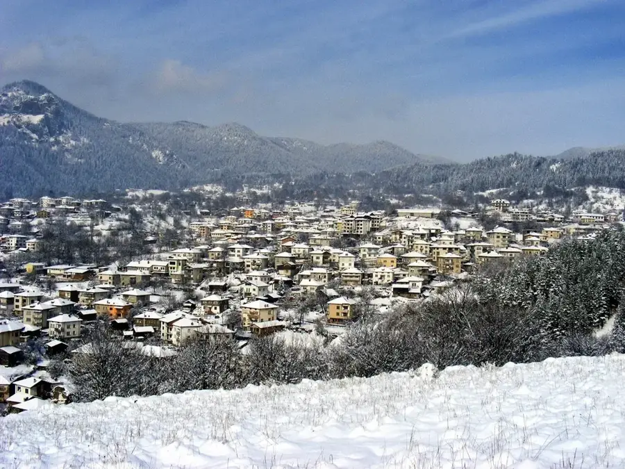
Nearby cities
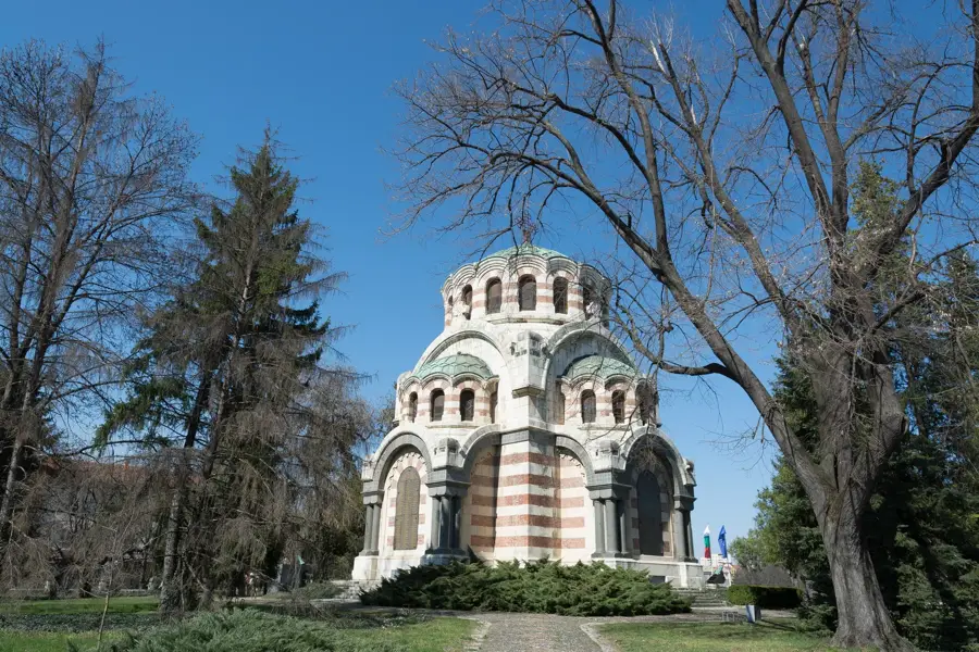


History & landmarks