Plizio Visual Lab
Balkan Mountains Ridge
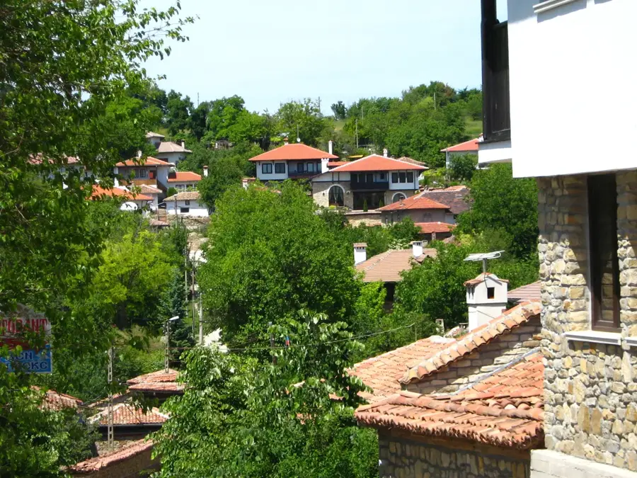
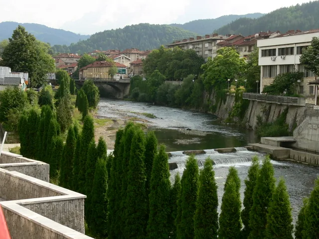
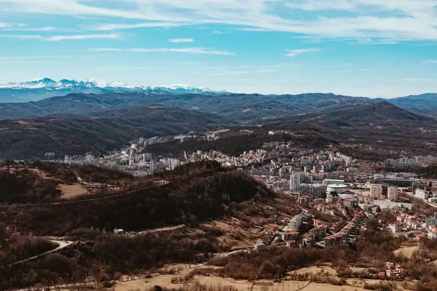
The main ridge of the Balkan Mountains, known in Bulgaria as Stara Planina, stretches for 560 kilometers from the Serbian border to Cape Emine on the Black Sea. This mountain range acts as a significant climatic divide, separating the north of the country from the south. The ridge is part of the European long-distance path E3, with its Bulgarian section named 'Kom-Emine,' posing a major challenge for hikers. The landscape is characterized by rugged peaks, vast alpine pastures, and deep-cut valleys. The highest point is Botev Peak at 2376 meters, located in the central part of the range. Stara Planina is rich in water sources and home to numerous waterfalls, including Raysko Praskalo, the highest waterfall in the Balkans. The ecological importance of the ridge is immense, as it provides vital migration corridors for large mammals such as brown bears and wolves. Historically, the mountain range was a sanctuary for resistance fighters and is associated with many pivotal events in Bulgarian history.
- Location: Bulgaria
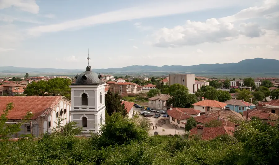
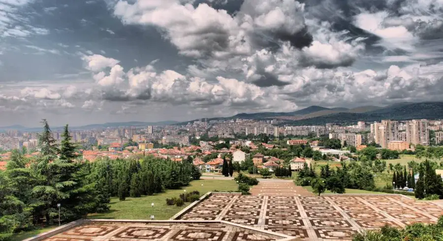
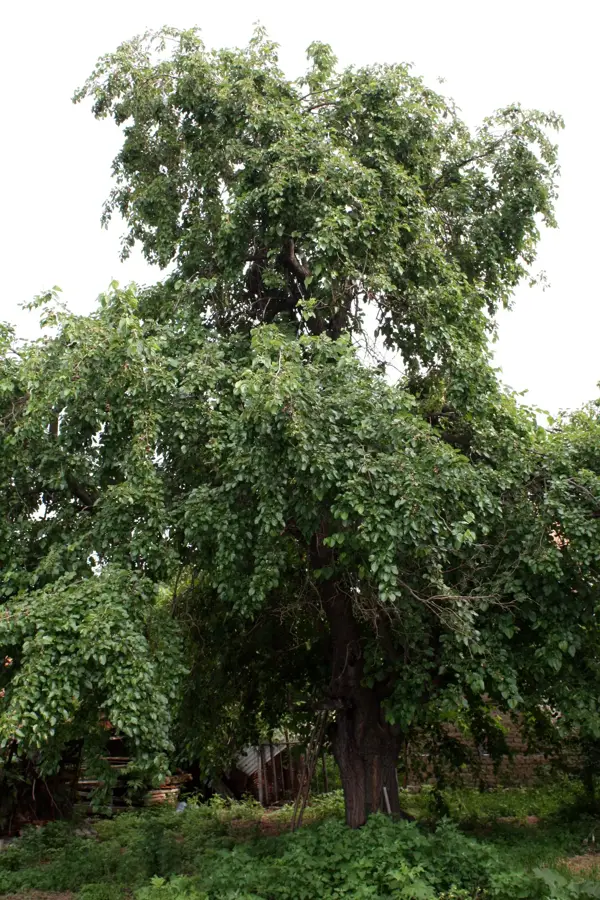
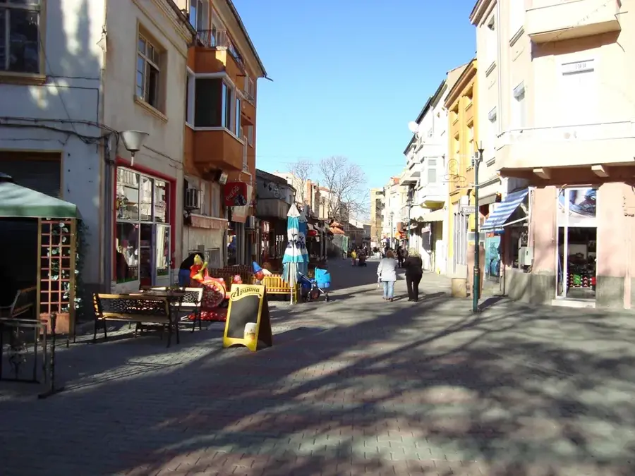
- Nearby: Kalofer (9 km)
Best time to visit & climate
The most pleasant time to visit is Jun–Aug.
| Jan | Feb | Mar | Apr | May | Jun | Jul | Aug | Sep | Oct | Nov | Dec | |
|---|---|---|---|---|---|---|---|---|---|---|---|---|
| Avg °C | -1 | 1 | 5 | 10 | 16 | 20 | 23 | 23 | 18 | 12 | 6 | 0 |
| Rain mm | 53 | 45 | 54 | 51 | 85 | 85 | 75 | 51 | 54 | 55 | 41 | 55 |
📋 Practical info
Geography
Facts
- Stretches across a total length of approximately 560 kilometers.
- Botev Peak is the highest point of the range at 2376 meters.
- Acts as a natural watershed between the Black Sea and the Aegean Sea.
- The 'Kom-Emine' trail is the longest continuous hiking path in Bulgaria.
- Home to ancient beech forests designated as UNESCO World Heritage.
- Shipka Pass is a historically significant site from the Russo-Turkish War.
Explore nearby
Notable places around
Route planner — Car & Motorhome
Where do you start? We build the route here, with stops and country notes along the way.
© OpenStreetMap contributors · OpenRouteService
Sights in the town Balkan Mountains Ridge (1)
Sights nearby
Frequently asked questions
What is the 'Kom-Emine' route?
Are there mountain huts on the ridge?
Is the weather on the ridge dangerous?
How strenuous is the hiking?
Where does the Bulgarian part start?
Balkan Mountains Ridge: where is it located?
Balkan Mountains Ridge: when is the best time to visit?
Balkan Mountains Ridge: why is it worth visiting?

Nearby cities


History & landmarks