Plizio Visual Lab
Dobrudzha Steppe

Weather…
Water temperature…
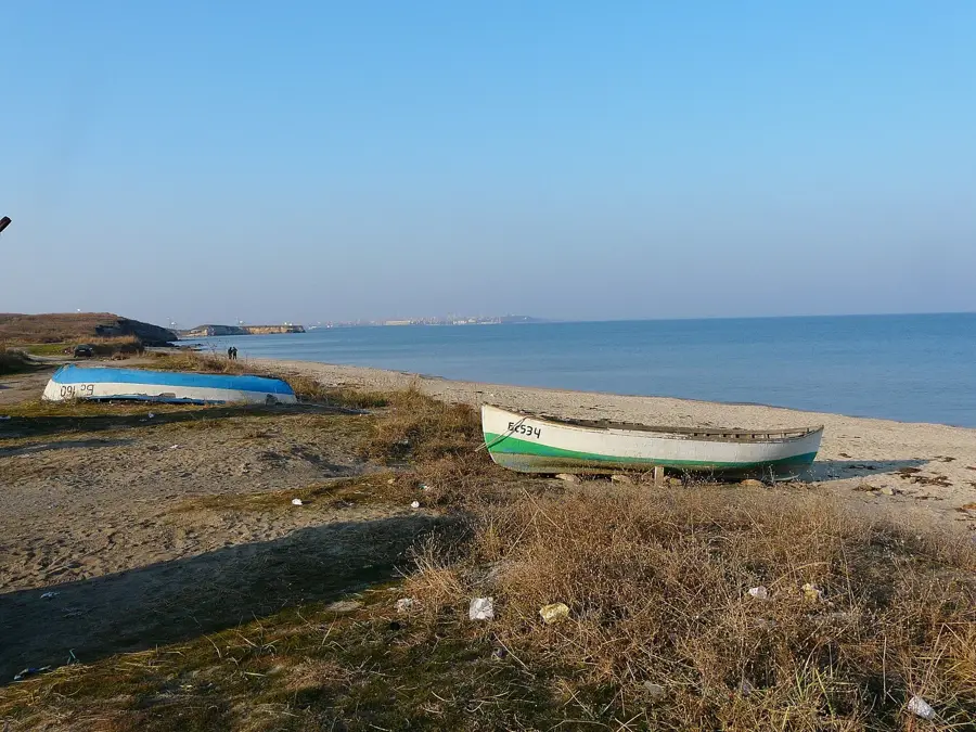
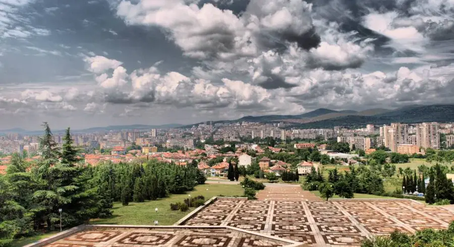
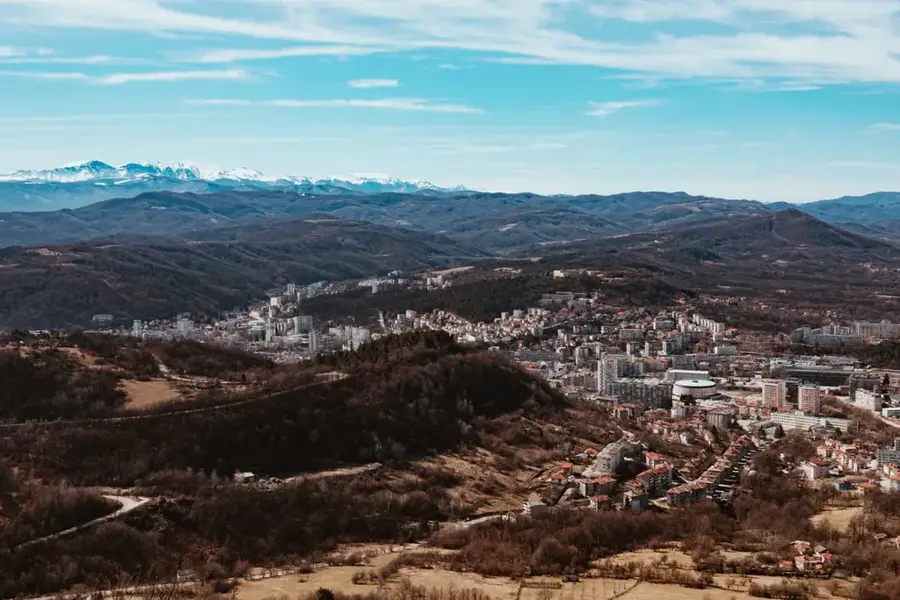
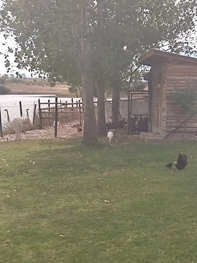
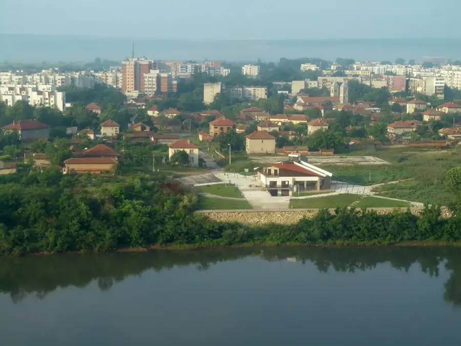
The Dobrudzha Steppe is a historical and geographical region in northeastern Bulgaria, stretching between the Danube River and the Black Sea. It is characterized by a rolling plateau and fertile loess soils, earning it the title 'The Granary of Bulgaria.' Originally, the area was a vast grassy steppe, of which only fragments remain in protected areas such as Cape Kaliakra or near Shabla. The region is of immense ecological importance for bird conservation as it lies on the 'Via Pontica' migration route. Tens of thousands of red-breasted geese winter in the region's wetlands, particularly at lakes Durankulak and Shabla. Today, the landscape is defined by intensive agriculture and modern wind farms, yet it preserves its wild beauty along the coastal sections with steep limestone cliffs. Botanically, Dobrudzha is home to rare steppe plants and endemics adapted to the dry, continental climate. The region is also rich in archaeological remains, ranging from Thracian tombs to Byzantine fortresses.
- Location: Bulgaria
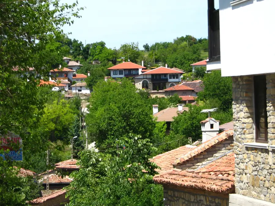
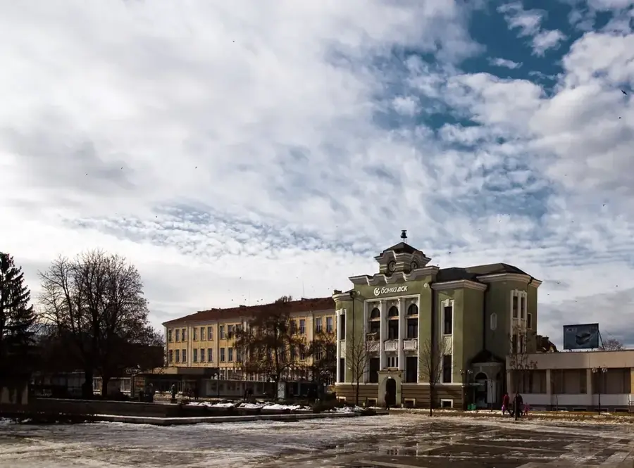
- Top sights: Ravnets, Dobrich Province · General Toshevo
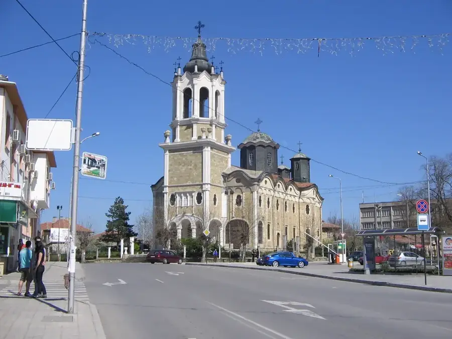
- Nearby: Balchik (34 km)
Best time to visit & climate
The most pleasant time to visit is Jun, Aug, Sep.
| Jan | Feb | Mar | Apr | May | Jun | Jul | Aug | Sep | Oct | Nov | Dec | |
|---|---|---|---|---|---|---|---|---|---|---|---|---|
| Avg °C | 1 | 3 | 6 | 10 | 17 | 22 | 24 | 24 | 20 | 14 | 9 | 3 |
| Rain mm | 47 | 34 | 38 | 29 | 43 | 50 | 45 | 30 | 51 | 56 | 42 | 49 |
📋 Practical info
Geography
Facts
- Bulgarian Dobrudzha covers an area of approximately 7,565 square kilometers.
- It is the most significant region for wheat and sunflower production in Bulgaria.
- Lake Durankulak hosts nearly the entire global population of red-breasted geese in winter.
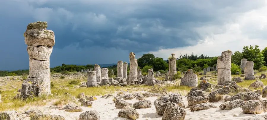
- Cape Kaliakra protects some of the last remaining authentic steppe habitats.
- The region experiences the highest average wind speeds on the Bulgarian coast.
- The plateau stands at an average elevation of 150 to 300 meters above sea level.
Explore nearby
Notable places around
Route planner — Car & Motorhome
Where do you start? We build the route here, with stops and country notes along the way.
© OpenStreetMap contributors · OpenRouteService
Sights in the town Dobrudzha Steppe (2)
Sights nearby
Frequently asked questions
What characterizes the Dobrudzha steppe?
Are there many wind turbines there?
Why is the region important for birdwatchers?
Is the climate there very dry?
Can the steppe be visited by tourists?
Dobrudzha Steppe: where is it located?
Dobrudzha Steppe: what is there to see?
Dobrudzha Steppe: when is the best time to visit?
Dobrudzha Steppe: why is it worth visiting?

Nearby cities
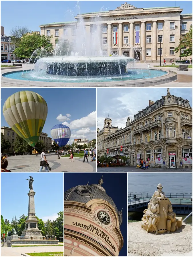
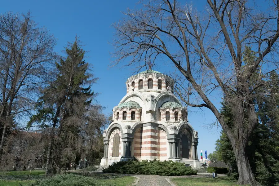
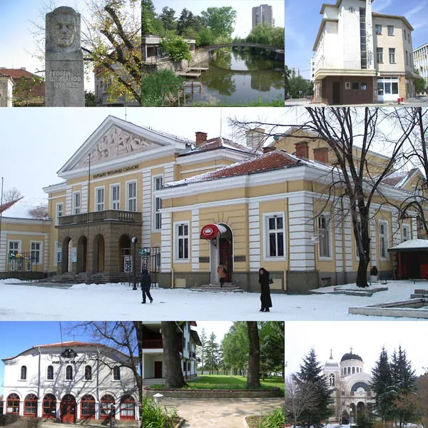


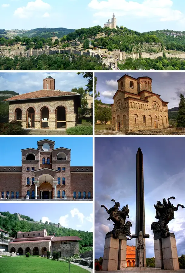
History & landmarks