Plizio Visual Lab
Banya (Pleven)
ℹ️Practical info — Banya (Pleven)
▾
🌤 Weather — 5 days
📍 Nearby
Sights nearby
💡 Tips
- The pace of life here is slow; don't expect fast service or strict schedules.
- Stock up on Bulgarian Lev (BGN) before arriving, as ATMs might not be available.
- Roads in the countryside can be uneven, so drive carefully.
- If you want to take photos of locals or their homes, always ask for permission first.
🍽 Food
A traditional meat and vegetable stew served in a clay pot at the local pub.
A cold yogurt and cucumber soup, first-rate during the hot summer months.
🛍 Shopping · 🧘 Quiet spots
The best place to find fresh bread early in the morning.
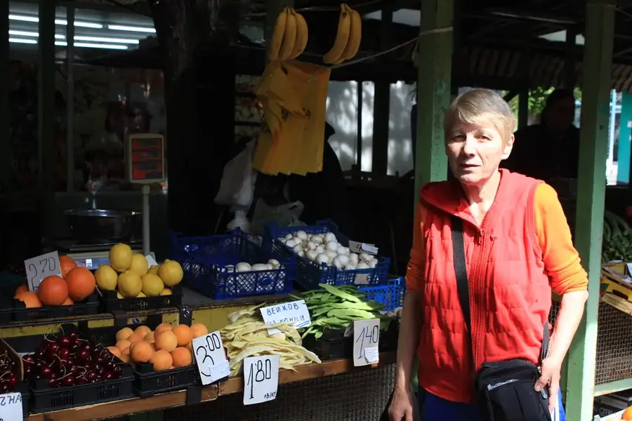
Buy directly from locals who might have small stands outside their homes.
Walk towards the fields for an uninterrupted view of the northern Bulgarian landscape.
A nice spot to sit and enjoy the afternoon sun in peace.
Water temperature…
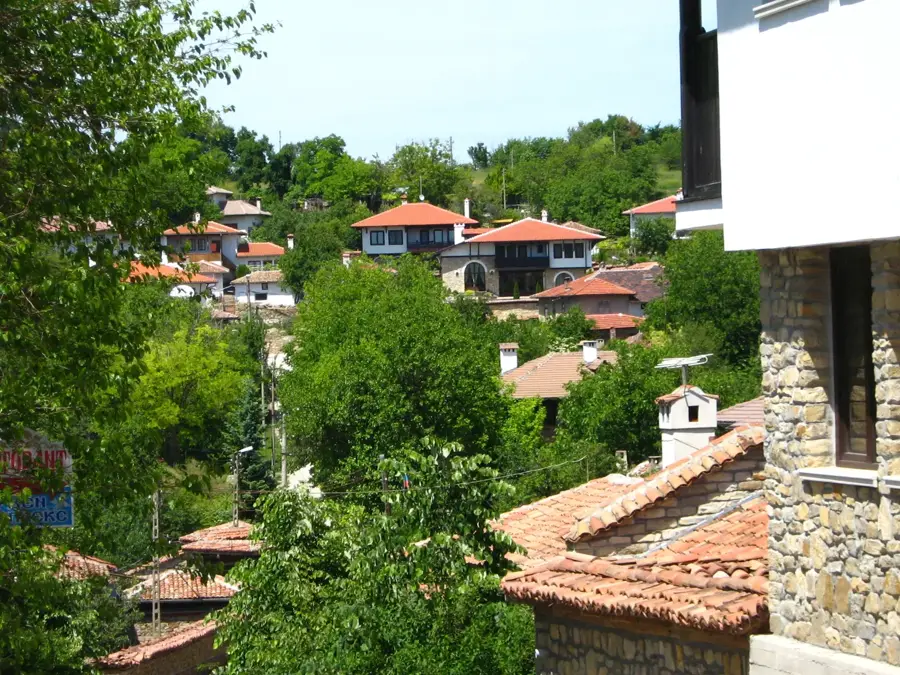
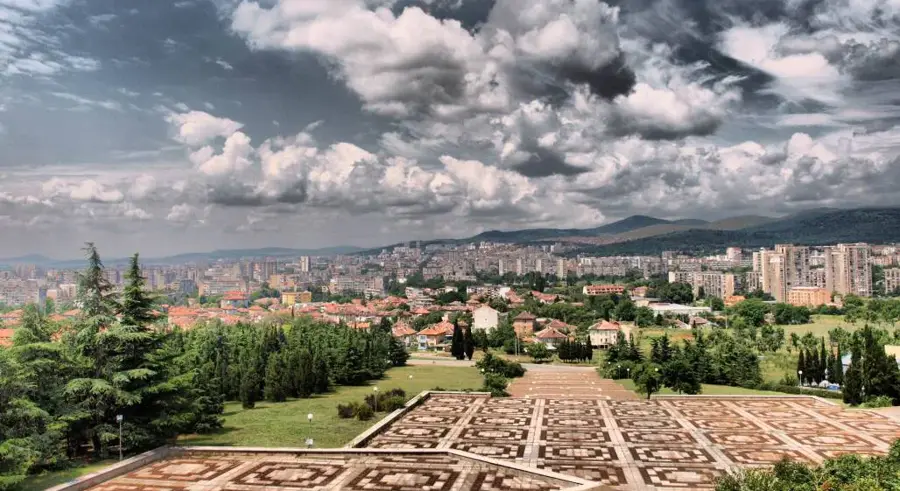
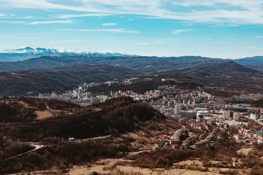
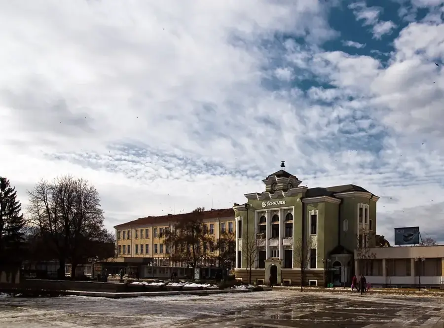
Banya is a rural settlement in the Pleven Province, situated deep within the fertile Danubian Plain of Northern Bulgaria. The region is widely recognized for its intensive agricultural output, with the village surroundings characterized by vast fields of wheat, corn, and sunflowers flourishing on rich chernozem soils. Historically, the area has been inhabited since antiquity, evidenced by scattered Thracian and Roman findings in the nearby vicinity. The climate is distinctly continental, featuring hot, dry summers and cold winters, which fundamentally dictates the rhythm of village life and agricultural cycles. Despite its relative proximity to the regional capital of Pleven, the settlement maintains a quiet, traditional character typical of the North Bulgarian lowlands. Over recent decades, the mechanization of farming has led to noticeable demographic shifts, while the remaining population continues to preserve local traditions and a steady agrarian lifestyle.
- Location: Bulgaria
- Top sights: Georgi Benkovski Bulgarian Air Force Academy · Dolna Mitropoliya
- Nearby: Pleven (5 km)
- Population: ~3.479
Best time to visit & climate
The most pleasant time to visit is May, Jun, Sep.
| Jan | Feb | Mar | Apr | May | Jun | Jul | Aug | Sep | Oct | Nov | Dec | |
|---|---|---|---|---|---|---|---|---|---|---|---|---|
| Avg °C | 0 | 2 | 7 | 13 | 18 | 23 | 25 | 25 | 20 | 13 | 7 | 1 |
| Rain mm | 41 | 40 | 47 | 47 | 76 | 82 | 67 | 46 | 52 | 57 | 38 | 44 |
Geography
Facts
- Located in the Danubian Plain at an average elevation of 100 meters.
- The village is situated approximately 45 kilometers northeast of Pleven.
- Soils consist mainly of highly fertile black earth (chernozem).
- The climate is continental with annual temperature swings exceeding 30°C.
- Archaeological finds nearby suggest traces of ancient Roman settlements.
- Local economy is almost entirely based on large-scale grain production.
Explore nearby
Notable places around
Route planner — Car & Motorhome
Where do you start? We build the route here, with stops and country notes along the way.
© OpenStreetMap contributors · OpenRouteService
Sights in the town Banya (Pleven) (2)
Frequently asked questions
Are there mineral springs in Banya (Pleven)?
When is the best time to visit?
How far is it to Pleven?
What can you see in nature?
Is the area developed for tourism?
Banya (Pleven): where is it located?
Banya (Pleven): what is there to see?
Banya (Pleven): when is the best time to visit?
Banya (Pleven): why is it worth visiting?

Nearby cities


History & landmarks