Plizio Visual Lab
Cordillera Real
Weather…
Water temperature…
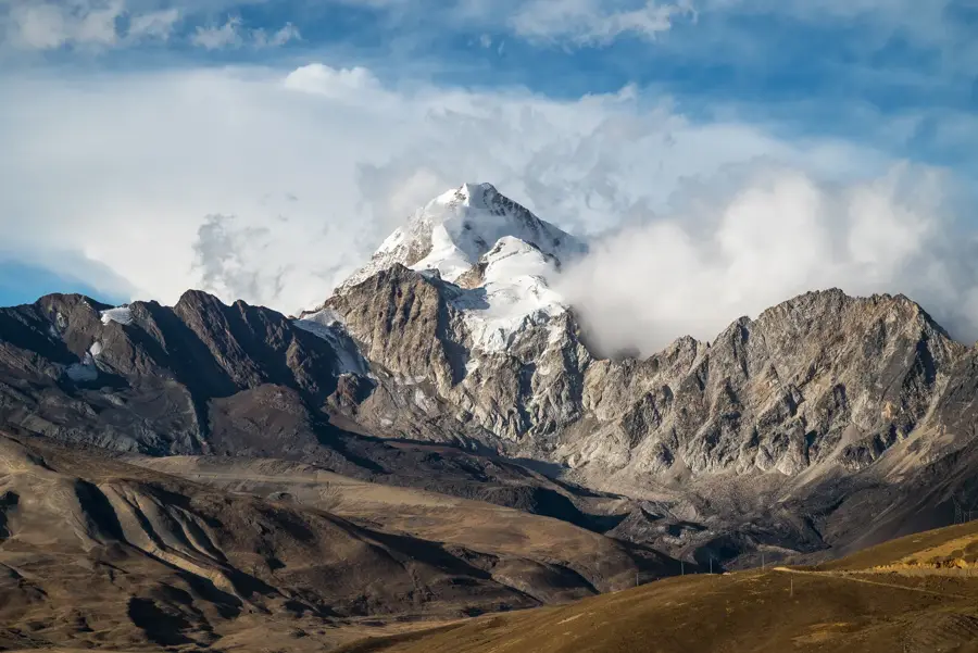
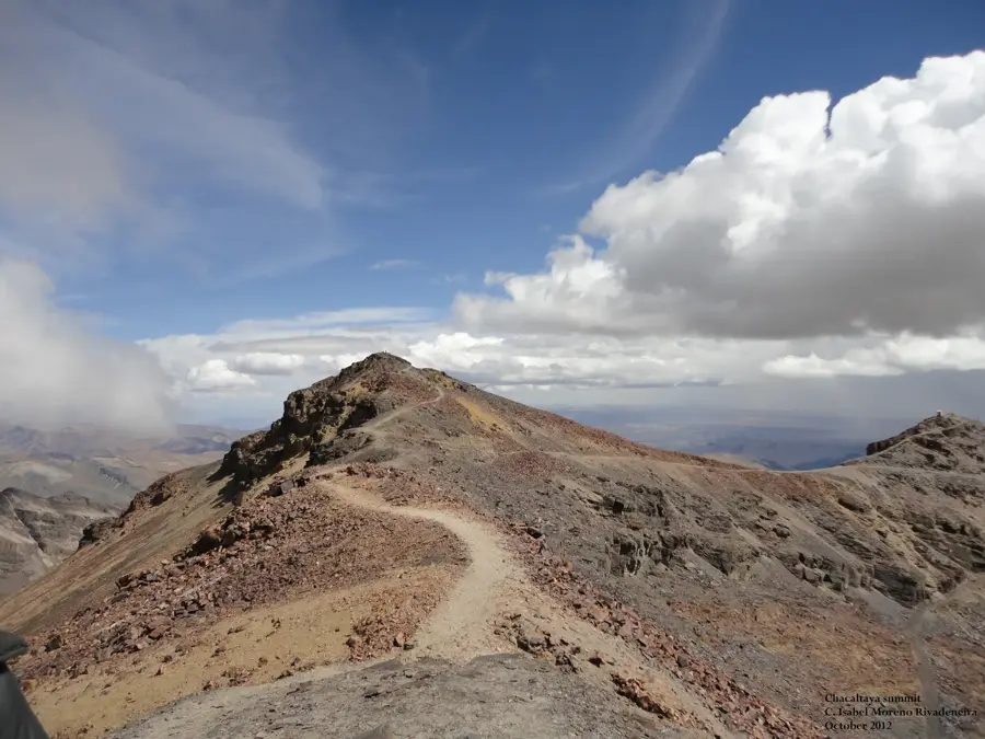
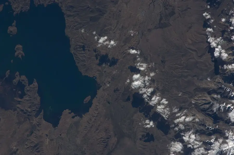
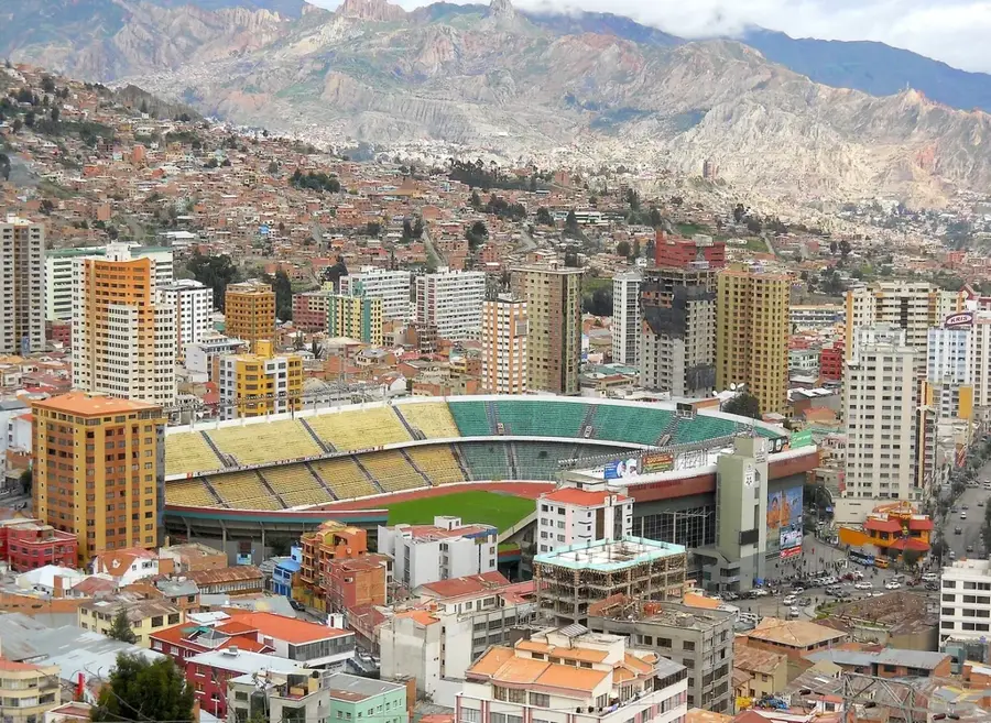
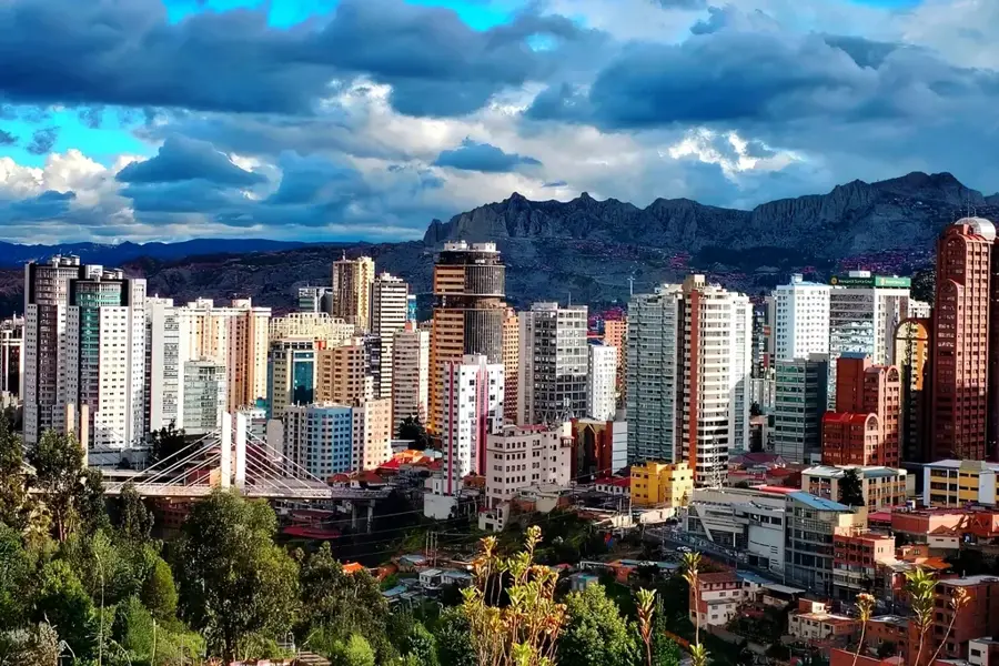
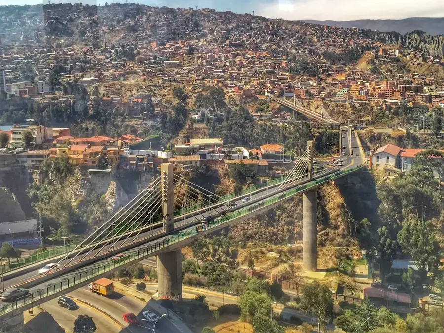
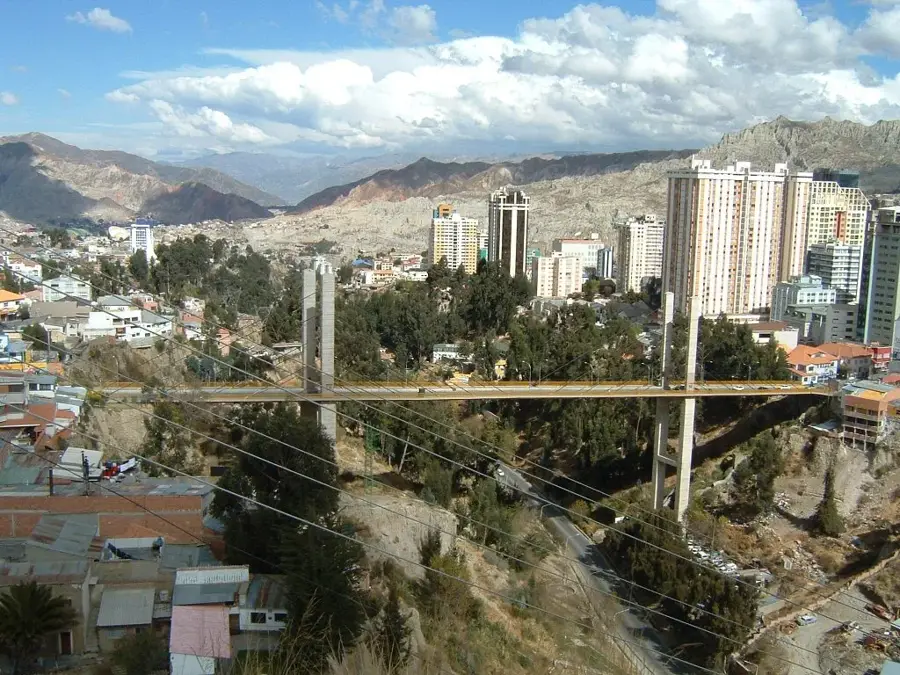
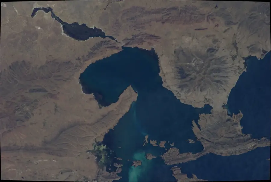
The Cordillera Real is one of the most spectacular mountain ranges in the Andes, forming the backbone of the eastern section of the Bolivian highlands. Stretching approximately 125 kilometers from Lake Titicaca in the northwest to the outskirts of La Paz in the southeast, this heavily glaciated range acts as a dramatic divide between the arid Altiplano and the humid tropical Yungas regions of the Amazon basin. Boasting numerous peaks over 6,000 meters, including the iconic Illimani (6,438 m) and Huayna Potosí (6,088 m), it is a premier destination for mountaineering in South America. Geologically, the range is primarily composed of granitic plutons uplifted during the Tertiary period. The glaciers of the Cordillera Real are crucial for the water supply of the La Paz and El Alto metropolitan areas, though they are currently retreating rapidly due to global climate change. Historically, these mountain passes served as vital trade routes connecting the high plateau with the lush tropical valleys below.
Best time to visit & climate
The most pleasant time to visit is May, Sep, Nov.
| Jan | Feb | Mar | Apr | May | Jun | Jul | Aug | Sep | Oct | Nov | Dec | |
|---|---|---|---|---|---|---|---|---|---|---|---|---|
| Avg °C | 11 | 11 | 11 | 11 | 10 | 9 | 9 | 9 | 10 | 11 | 12 | 12 |
| Rain mm | 151 | 135 | 96 | 52 | 25 | 17 | 21 | 24 | 29 | 59 | 62 | 123 |
📋 Practical info
Geography
Facts
- The range extends for a total length of approximately 125 kilometers.
- The highest peak is Illimani, reaching an elevation of 6,438 meters.
- At least six peaks within the range exceed 6,000 meters in height.
- The mountain range is primarily composed of granite and metamorphic rocks.
- Glaciers in the range have lost nearly 40% of their surface area since 1975.
- Huayna Potosí is often cited as one of the most climbed 6,000m peaks in the world.
Explore nearby
Notable places around
Route planner — Car & Motorhome
Where do you start? We build the route here, with stops and country notes along the way.
© OpenStreetMap contributors · OpenRouteService
Sights nearby
Frequently asked questions
How difficult are the mountain treks?
When is the climbing season?
Is acclimatization necessary?
Are there mountain huts?
Where do the treks start?
Cordillera Real: where is it located?
Cordillera Real: when is the best time to visit?
Cordillera Real: why is it worth visiting?

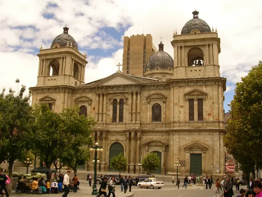
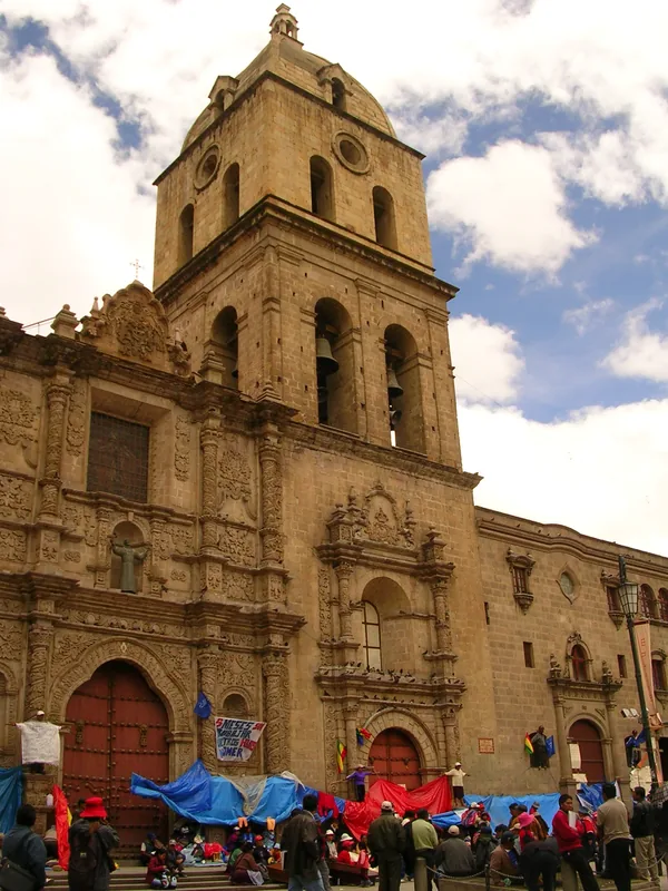
History & landmarks

Nature
More places