Plizio Visual Lab
Zongo Valley
Weather…
Water temperature…
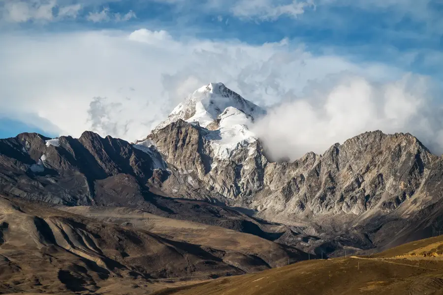
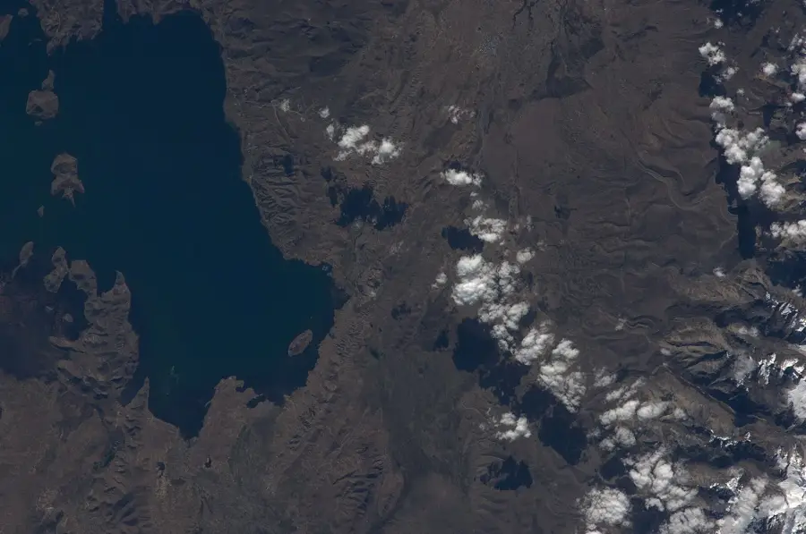
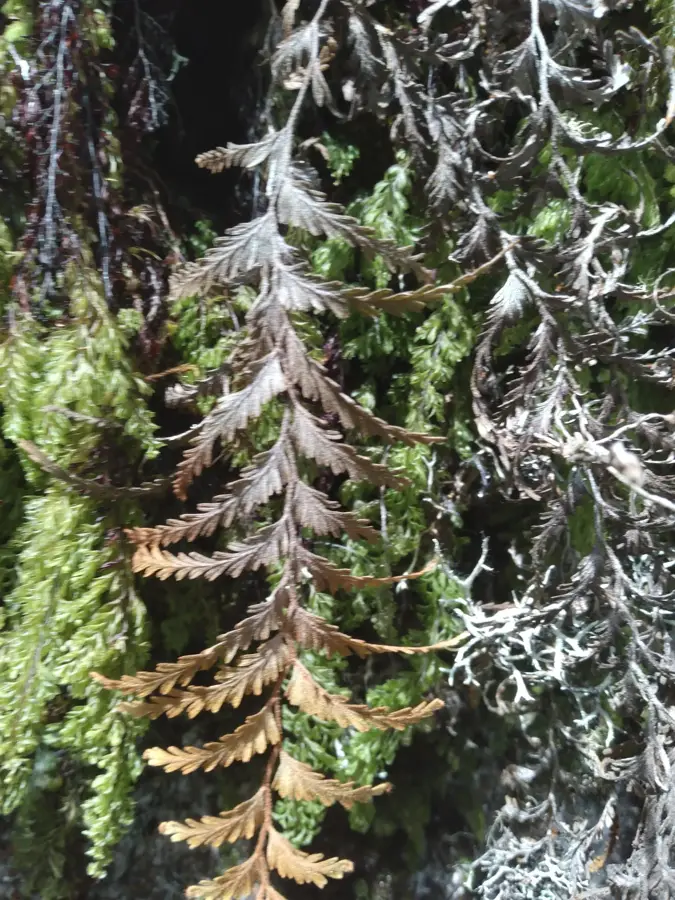
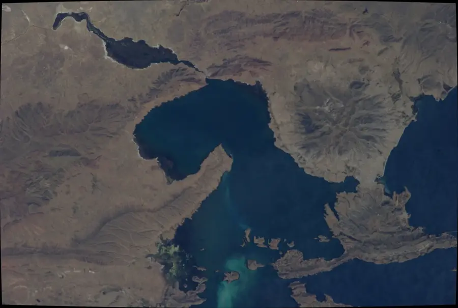
The Zongo Valley is a spectacular glacial valley in the Bolivian Andes, located northeast of La Paz, stretching from the icy heights of Huayna Potosí to the subtropical regions of the Yungas. This geographic feature allows for an extreme elevation drop of over 3,000 meters within a very short distance, resulting in a rapid succession of diverse climatic zones. The valley is of central importance for the capital's power supply, as it hosts a complex system of hydroelectric plants that harness glacial meltwater. Historically, the valley served as a major access route to the lowlands and is now intensively used for ecotourism and mountain sports. The flora and fauna change dramatically from alpine tundra with mosses and lichens to dense cloud forests with a high diversity of orchids. Scientists frequently use the Zongo Valley to study glacier retreat caused by climate change, which is critical for Bolivia's future water management. The combination of industrial utility and pristine nature makes the valley a unique subject for studying human-environment interaction.
- Location: Bolivia
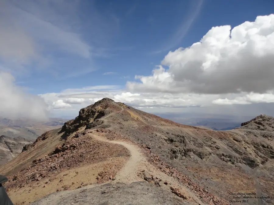
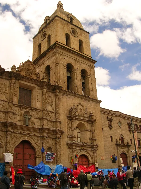
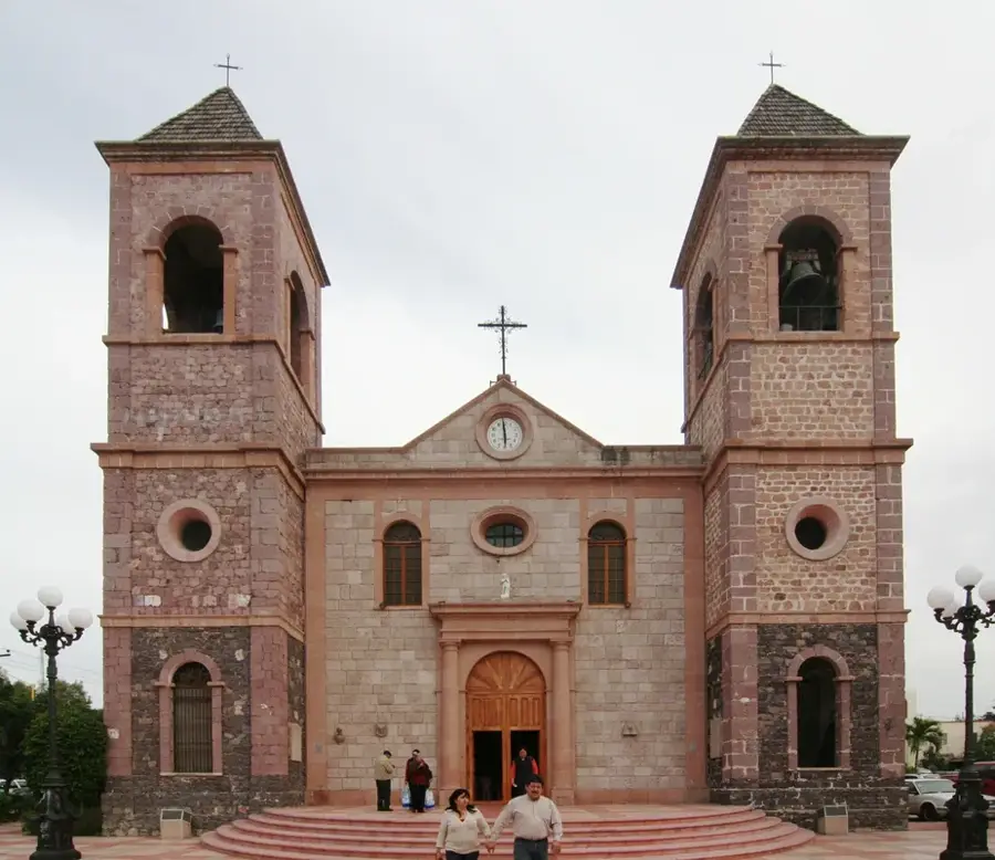
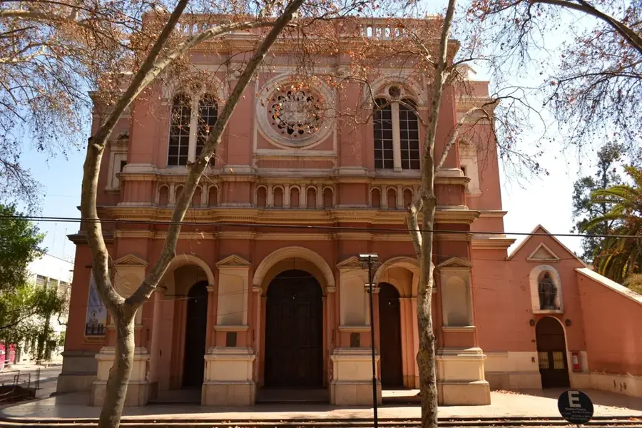
- Top sights: Llust'a · Phisqa Quta · Turini
Best time to visit & climate
The most pleasant time to visit is May, Sep, Nov.
| Jan | Feb | Mar | Apr | May | Jun | Jul | Aug | Sep | Oct | Nov | Dec | |
|---|---|---|---|---|---|---|---|---|---|---|---|---|
| Avg °C | 11 | 11 | 11 | 11 | 10 | 9 | 9 | 9 | 10 | 11 | 12 | 12 |
| Rain mm | 151 | 135 | 96 | 52 | 25 | 17 | 21 | 24 | 29 | 59 | 62 | 123 |
📋 Practical info
Geography
Facts
- The valley drops from approximately 4,700 meters down to 800 meters in elevation.
- The Zongo Glacier serves as the primary water source for the power plant system.
- The Zongo hydroelectric system generates a significant portion of La Paz's electricity.
- Huayna Potosí (6,088 m) provides the valley's impressive mountain backdrop.
- The average temperature rises from 0°C at the pass to over 20°C in the lower valley.
- Scientific stations have been monitoring glacial retreat here since the 1990s.
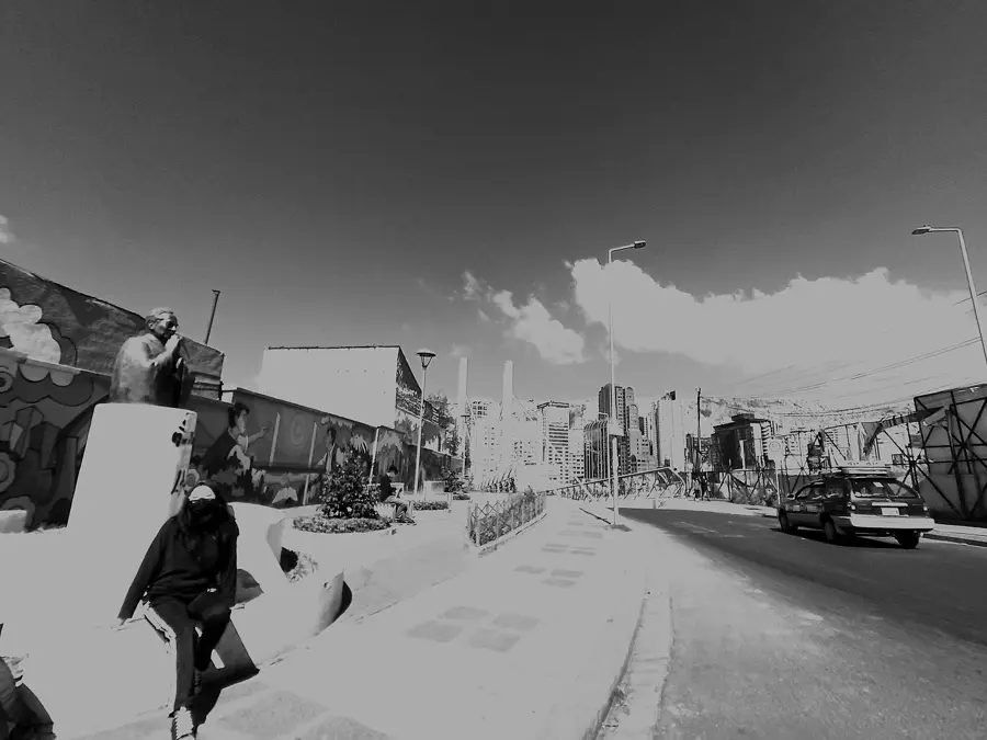
Explore nearby
Notable places around
Route planner — Car & Motorhome
Where do you start? We build the route here, with stops and country notes along the way.
© OpenStreetMap contributors · OpenRouteService
Sights in the town Zongo Valley (3)
Sights nearby
Frequently asked questions
How to get there from La Paz?
What is the highlight of the valley?
Are there hiking options?
Are there restaurants?
How is the weather?
Zongo Valley: where is it located?
Zongo Valley: what is there to see?
Zongo Valley: when is the best time to visit?
Zongo Valley: why is it worth visiting?

History & landmarks

Nature
More places