Plizio Visual Lab
Puente Trillizos
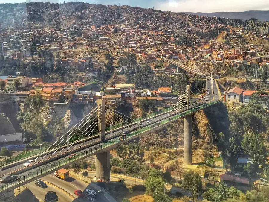
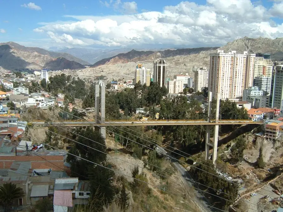
The Puente Trillizos (Triplets Bridge) is an impressive infrastructure project in La Paz that revolutionized mobility in one of the world's most topographically challenging cities. The system consists of three consecutive cable-stayed bridges, Libertad (Liberty), Unión (Union), and Independencia (Independence), that span deep ravines to connect the districts of San Antonio, Cotahuma, and the South. With a total length of approximately 2 kilometers, the project was inaugurated in November 2010 to alleviate the chronic traffic congestion in the city center. The bridges' modern design gives them an elegant appearance, further highlighted at night by a colorful lighting system. Each bridge spans across valleys at dizzying heights, providing spectacular views of the sprawling urban landscape of La Paz and the surrounding Andean peaks. Building the bridges was a significant engineering feat due to the geologically unstable terrain. Today, the Trillizos are not only a vital transport artery but also a symbol of modern urban development and Bolivian engineering prowess.
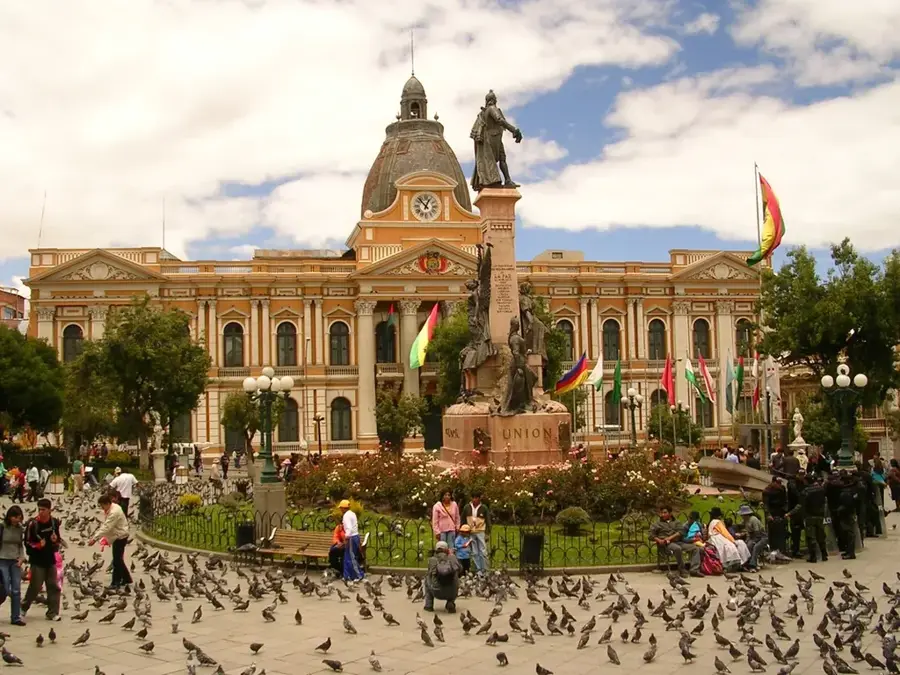
- Location: Bolivia
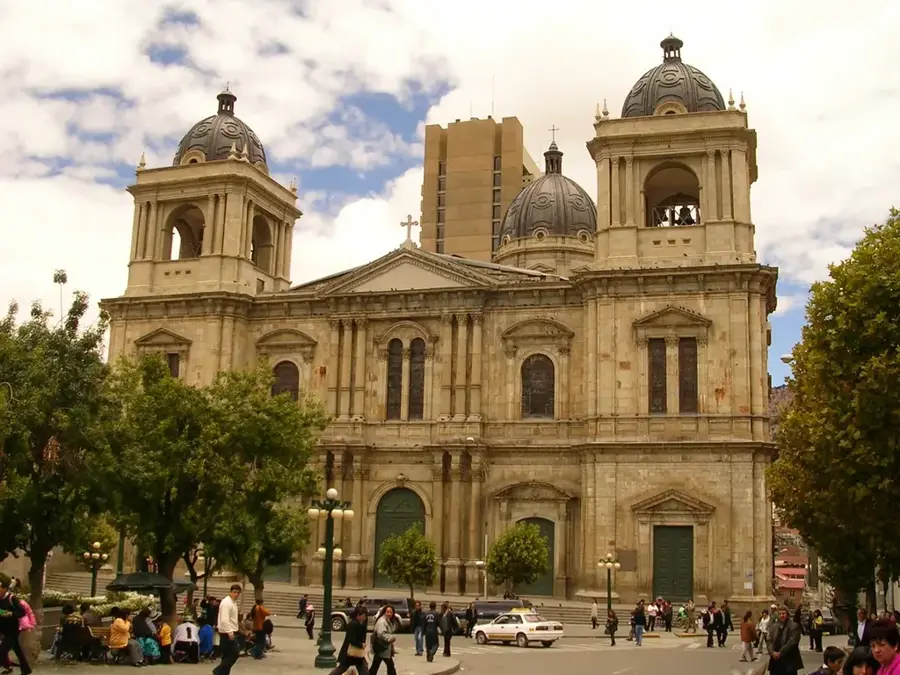
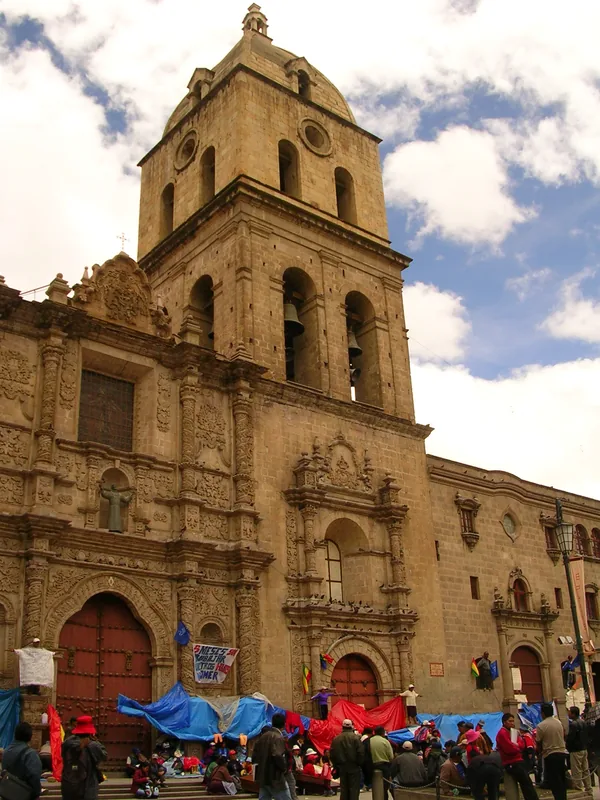
- Top sights: Confucio · Pacha Caballo · Restauraciones Supay
Best time to visit & climate
The most pleasant time to visit is Apr, Sep, Nov.
| Jan | Feb | Mar | Apr | May | Jun | Jul | Aug | Sep | Oct | Nov | Dec | |
|---|---|---|---|---|---|---|---|---|---|---|---|---|
| Avg °C | 9 | 9 | 9 | 8 | 7 | 6 | 5 | 6 | 7 | 9 | 9 | 9 |
| Rain mm | 136 | 114 | 79 | 35 | 13 | 9 | 16 | 22 | 24 | 48 | 44 | 107 |
📋 Practical info
Geography
Facts
- The bridge system was officially inaugurated on November 28, 2010.
- The three individual bridges are named Libertad, Unión, and Independencia.
- The total investment for the project was approximately 19 million USD.
- The bridges cross over the deep Orkojahuira and Choqueyapu river valleys.
- The project reduced travel time between eastern and southern La Paz by 30 minutes.
- All three structures are modern cable-stayed bridges with distinctive pylon supports.
Explore nearby
Notable places around
Route planner — Car & Motorhome
Where do you start? We build the route here, with stops and country notes along the way.
© OpenStreetMap contributors · OpenRouteService
Sights in the town Puente Trillizos (11)
Sights nearby
Frequently asked questions
Why are they called 'Trillizos'?
Which neighborhoods do they connect?
When were they opened?
Are they lit at night?
How long are the bridges?
Puente Trillizos: where is it located?
Puente Trillizos: what is there to see?
Puente Trillizos: when is the best time to visit?
Puente Trillizos: why is it worth visiting?

History & landmarks

Nature
More places