Plizio Visual Lab
Polders
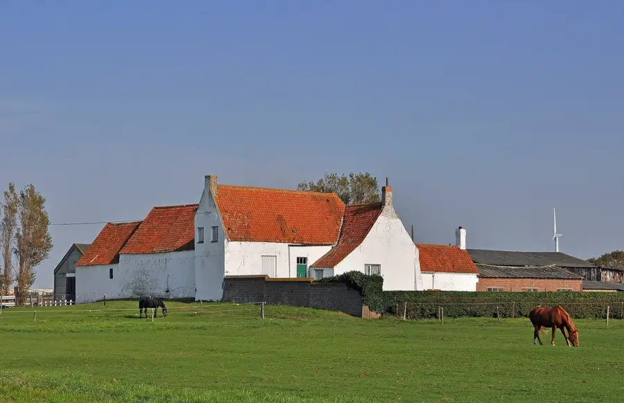
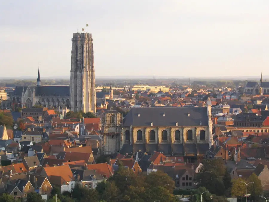
The polders in Belgium are man-made landscapes reclaimed from the North Sea and the Scheldt estuary through a centuries-old process of diking and drainage. These low-lying areas are often situated near or even below sea level, relying on a sophisticated network of embankments for protection. Geologically, the polders consist of heavy, nutrient-rich marine clay that was deposited as the sea receded or was pushed back. The reclamation process began as early as the 11th century, led by monastic orders seeking to expand grazing lands for sheep and cattle. A complex system of canals, ditches, and pumping stations ensures the land remains dry and productive. Today, the Belgian polders are a hub for intensive arable farming, particularly for wheat and sugar beets. Beyond agriculture, these areas provide critical habitats for migratory birds, with the Zwin Nature Park being a prominent example. The landscape is characterized by its vast, flat horizons, historic windmills, and traditional villages built along the drainage dikes.
- Location: Belgium
- Top sights: The Dairy Museum · Sint-Amanduskerk · Sea-Life Blankenberge
- Nearby: Zeebrugge (5 km)
Best time to visit & climate
The most pleasant time to visit is Jul–Sep.
| Jan | Feb | Mar | Apr | May | Jun | Jul | Aug | Sep | Oct | Nov | Dec | |
|---|---|---|---|---|---|---|---|---|---|---|---|---|
| Avg °C | 6 | 5 | 6 | 9 | 12 | 15 | 18 | 18 | 16 | 13 | 10 | 7 |
| Rain mm | 73 | 62 | 54 | 38 | 53 | 59 | 72 | 81 | 64 | 80 | 85 | 87 |
📋 Practical info
Geography
Facts
- Location: Along the North Sea coast and the Scheldt estuary
- Elevation: Often at or below sea level
- Soil type: Fertile marine clay
- History: Reclamation began in the 11th century
- Management: Requires constant drainage via canals and pumps
- Ecology: Vital stopover for migratory birds (e.g., Zwin Park)
Explore nearby
Notable places around
Route planner — Car & Motorhome
Where do you start? We build the route here, with stops and country notes along the way.
© OpenStreetMap contributors · OpenRouteService
Sights in the town Polders (10)
Belle-époquecentrum🏛 museum
Belle-époquecentrum is a museum in Blankenberge.
Sint-Rochuskerk
Sint-Rochuskerk is a church in Blankenberge, Belgium.
Maantjes kapelletje
Maantjes kapelletje is a chapel dedicated to Our Lady of Lourdes.
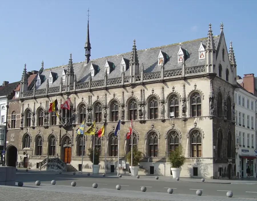
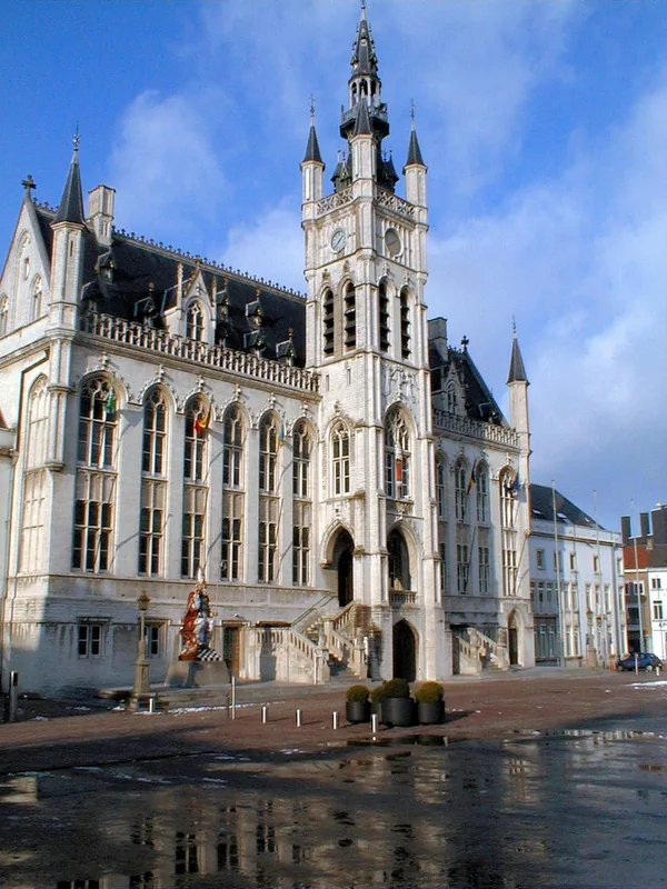
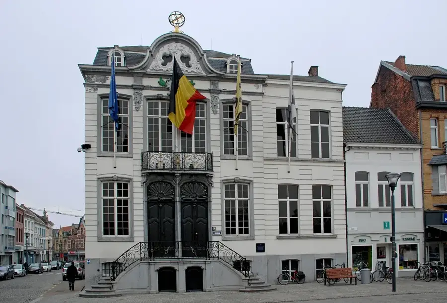
Oud Stadhuis
Oud Stadhuis is a former town hall and theatre in Blankenberge, now an art gallery.
Colisee
Colisee is a coastal theatre in Blankenberge.
Het Witte Paard
Het Witte Paard is a theatre in Blankenberge.
Sights nearby
Frequently asked questions
What is a polder landscape?
Where are the polders in Belgium?
How is water regulated in the polders?
Are the polders flat?
What is the land used for?
Polders: where is it located?
Polders: what is there to see?
Polders: when is the best time to visit?
Polders: why is it worth visiting?

Nearby cities