Plizio Visual Lab
Lalmai Hills
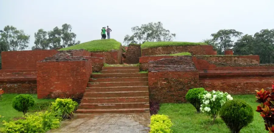
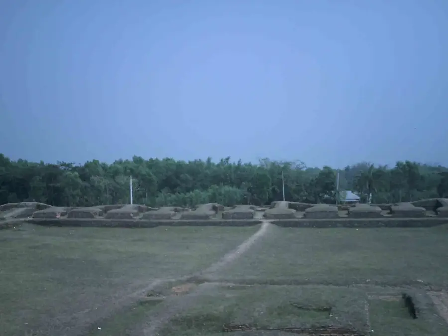
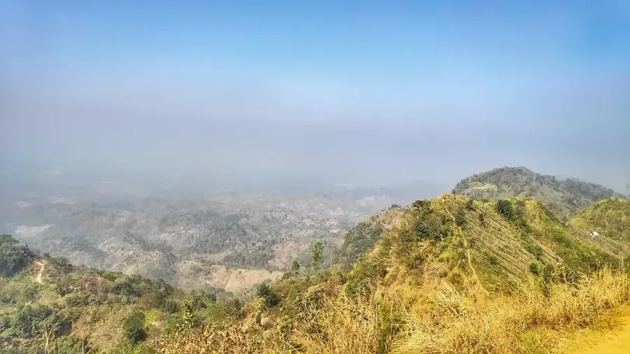
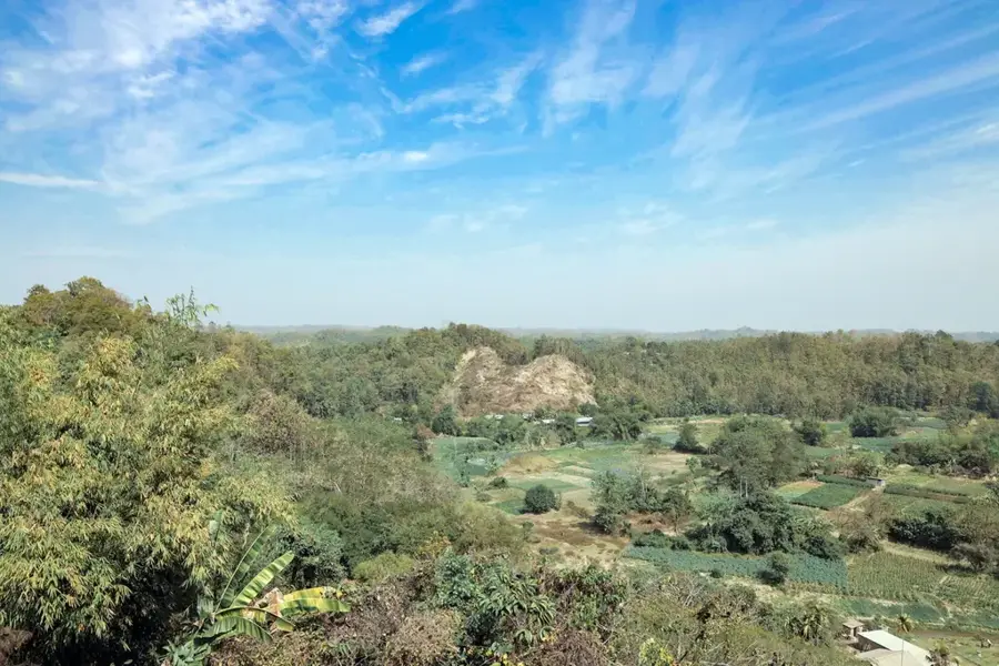
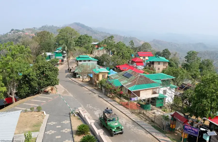
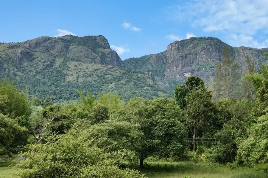
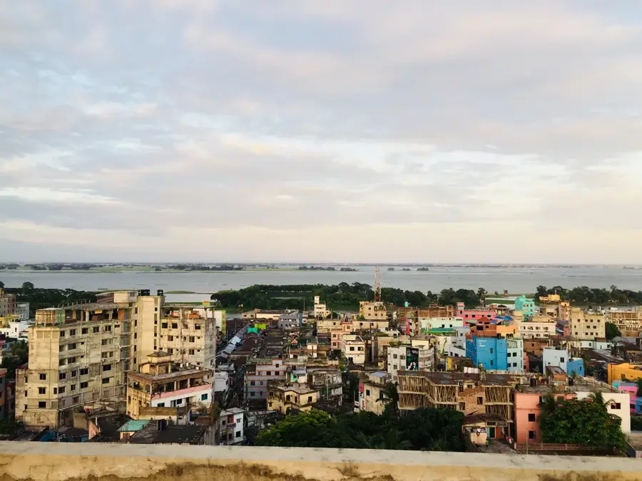
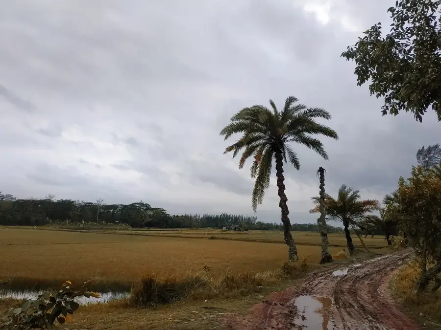
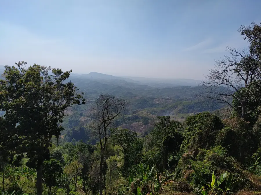
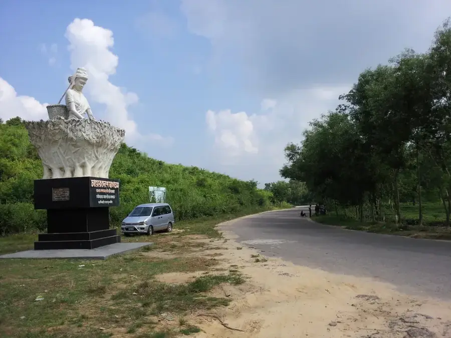
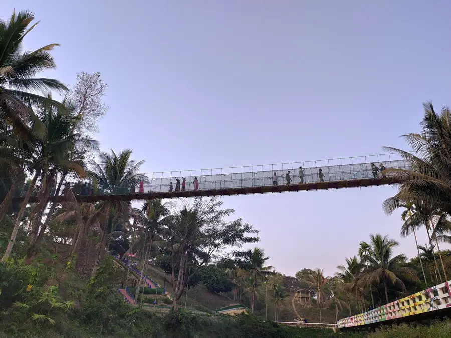
The Lalmai Hills are located in the Comilla District of eastern Bangladesh, forming an isolated elevated range amidst the vast flat alluvial plains. This geological formation dates back to the Pleistocene epoch and extends for approximately 11 miles from north to south. The name 'Lalmai' translates to 'Red Clay' or 'Red Earth,' referring to the distinctive reddish color of its lateritic soil, which is rich in iron oxides. The hills reach an average elevation of 15 to 30 meters above sea level and are covered with lush vegetation and extensive fruit orchards. Geographically and historically, the range is inextricably linked to the ancient Mainamati civilization, with over 50 archaeological sites discovered along the ridges dating from the 7th to the 12th centuries. Notable ruins like Shalban Vihara are situated here. Today, the hills remain vital for local agriculture, producing significant quantities of vegetables and seasonal fruits uniquely suited to the clay soil.
- Location: Bangladesh
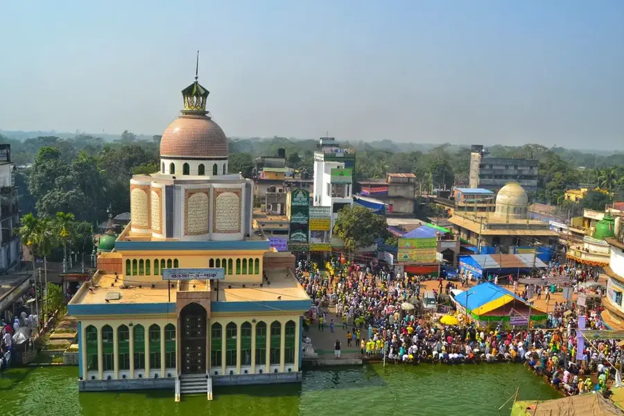
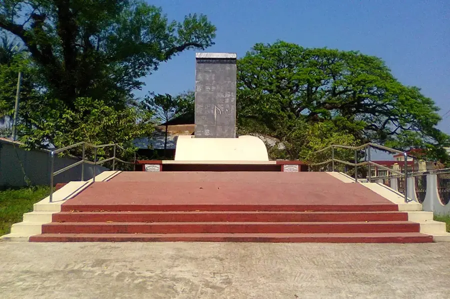
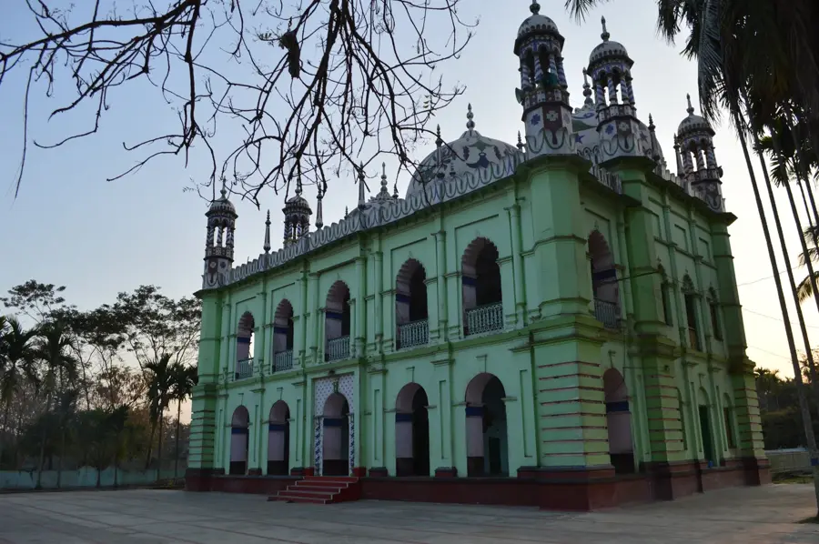
- Top sights: Mainamati Museum · Arifpur Baitun Nur Jame Mosjid · Muguji bazar
- Nearby: Comilla (5 km)
Best time to visit & climate
The most pleasant time to visit is Feb, Nov, Dec.
| Jan | Feb | Mar | Apr | May | Jun | Jul | Aug | Sep | Oct | Nov | Dec | |
|---|---|---|---|---|---|---|---|---|---|---|---|---|
| Avg °C | 17 | 21 | 26 | 29 | 29 | 28 | 28 | 28 | 28 | 26 | 22 | 18 |
| Rain mm | 11 | 20 | 56 | 166 | 331 | 439 | 468 | 366 | 292 | 187 | 40 | 20 |
📋 Practical info
Geography
Facts
- Lalmai literally translates to 'Red Clay' due to the soil's iron-rich lateritic color.
- The hill range extends for 11 miles from Mainamati in the north to Lalmai in the south.
- The hills are a Pleistocene terrace, similar to the Madhupur and Barind Tracts.
- The average elevation of the hills is between 45 and 50 feet above the plains.
- Archaeological excavations have uncovered 7th-century Buddhist ruins in this area.
- The soil is highly fertile for tropical fruits like jackfruit, pineapple, and guava.
Explore nearby
Notable places around
Route planner — Car & Motorhome
Where do you start? We build the route here, with stops and country notes along the way.
© OpenStreetMap contributors · OpenRouteService
Sights in the town Lalmai Hills (8)
Sights nearby
Frequently asked questions
What historical significance do the Lalmai Hills have?
How high are the hills?
What is special about the soil?
When is the best time for a visit?
Is there a museum there?
Lalmai Hills: where is it located?
Lalmai Hills: what is there to see?
Lalmai Hills: when is the best time to visit?
Lalmai Hills: why is it worth visiting?

Nearby cities
Nature


More places