Plizio Visual Lab
Dimadong
Weather…
Water temperature…
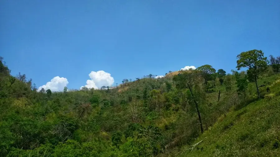
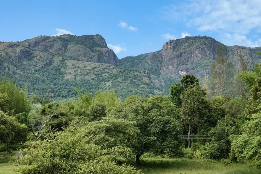
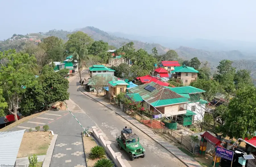
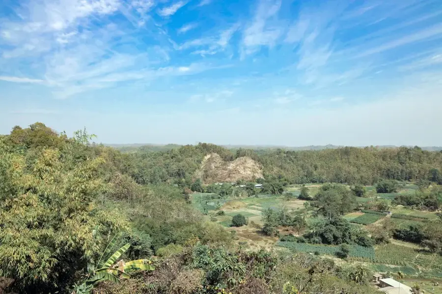
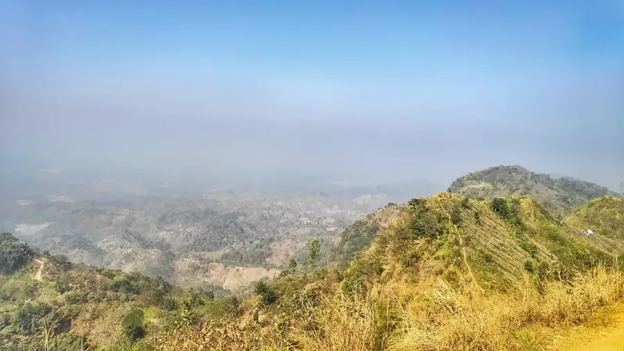
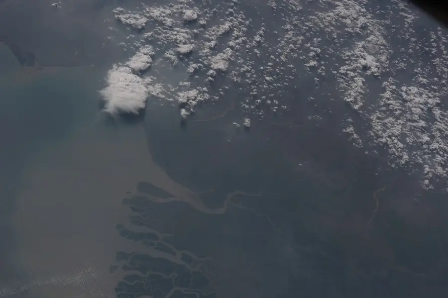
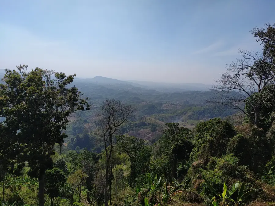
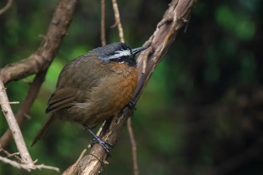
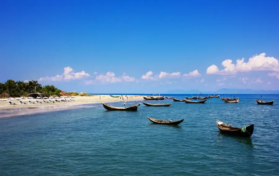
Dimadong is a significant mountain peak situated within the Mowdok range, sometimes referred to as the Saitang range, in the Bandarban district of the Chittagong Hill Tracts. Reaching an elevation of nearly 1,000 meters, it ranks as one of the major summits in Bangladesh's southeastern highlands. Its geographic proximity to the Myanmar border makes it an ecologically vital area within the trans-border mountain system. The landscape surrounding Dimadong is defined by dense evergreen forests and a complex topography of steep ridges and deep ravines, shaped by regional tectonic movements. For mountaineers and adventure seekers, Dimadong presents a formidable challenge, as the routes are typically unmarked and wind through uninhabited tropical wilderness. The region’s biodiversity is exceptionally high, providing a sanctuary for rare flora and fauna that have disappeared from the lowland plains of Bangladesh. The peak also holds spiritual significance for local indigenous tribes, who often regard these high summits as sacred ancestral spaces.
- Location: Bangladesh
- Nearby: Nilgiri (21 km)
Best time to visit & climate
The most pleasant time to visit is Feb, Nov, Dec.
| Jan | Feb | Mar | Apr | May | Jun | Jul | Aug | Sep | Oct | Nov | Dec | |
|---|---|---|---|---|---|---|---|---|---|---|---|---|
| Avg °C | 18 | 21 | 25 | 27 | 27 | 27 | 26 | 26 | 26 | 25 | 22 | 18 |
| Rain mm | 7 | 12 | 29 | 96 | 283 | 559 | 776 | 503 | 356 | 211 | 45 | 8 |
📋 Practical info
Geography
Facts
- Dimadong is a prominent summit in the Mowdok range of the Chittagong Hill Tracts.
- The peak stands at an elevation of approximately 1,000 meters (3,280 feet).
- It is located near the international boundary between Bangladesh and Myanmar.
- The mountain is surrounded by dense tropical evergreen forest cover.
- Indigenous communities in the area practice traditional Jhum (slash-and-burn) farming.
- Access to the peak usually requires specialized permits and local guides.
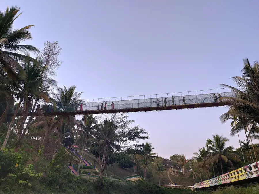
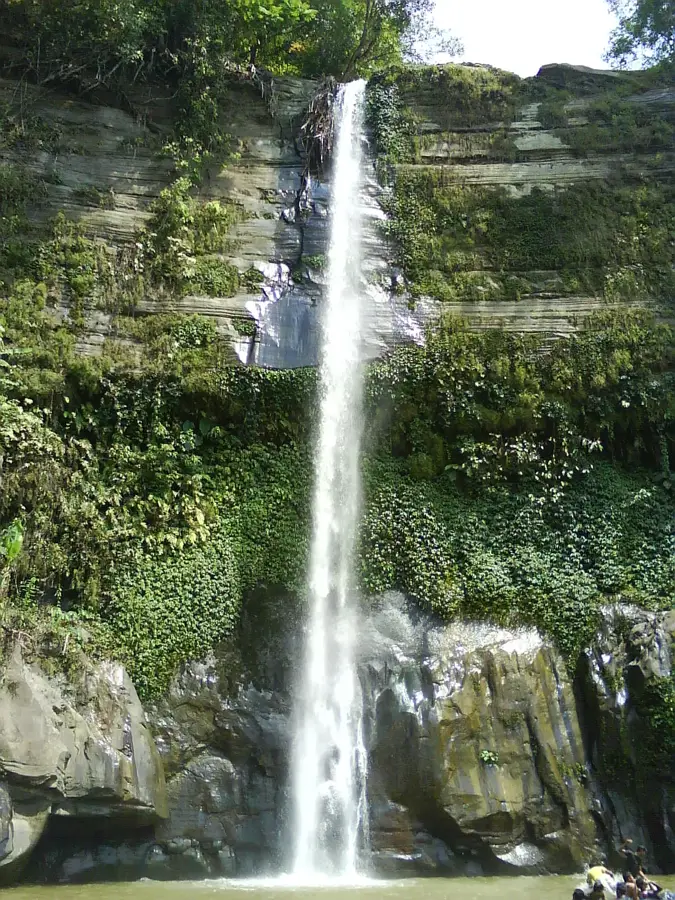
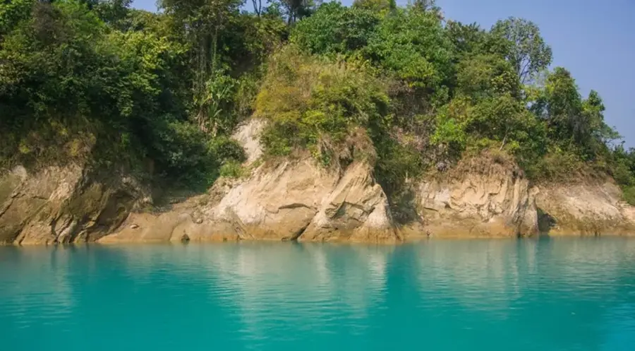
Explore nearby
Notable places around
Route planner — Car & Motorhome
Where do you start? We build the route here, with stops and country notes along the way.
© OpenStreetMap contributors · OpenRouteService
Sights in the town Dimadong (1)
Sights nearby
Frequently asked questions
Where is Dimadong located?
How long does the tour to the peak take?
What are the risks in the terrain?
Is a local guide necessary?
Which season is best for professionals?
Dimadong: where is it located?
Dimadong: when is the best time to visit?
Dimadong: why is it worth visiting?

Nearby cities
Nature

More places