Plizio Visual Lab
Ras Mumalah

Weather…
Water temperature…
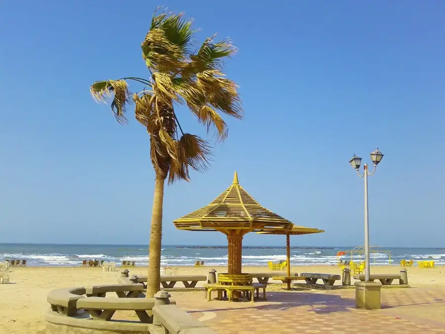
Ras Mumalah is a remote cape located on the southeastern fringes of Bahrain, representing one of the few stretches of coastline that remains in its pristine, natural state. The topography is characterized by a barren, low-lying desert plateau that meets the shallow, turquoise waters of the Persian Gulf. This area has a stark and beautiful contrast to the heavily developed northern parts of the island, showcasing the raw geological features of the Arabian Peninsula's coastal desert. The landscape is dominated by sun-baked earth and rocky outcrops, with minimal vegetation surviving in the harsh, saline environment. Ras Mumalah is a place of profound silence and isolation, attracting those who seek to experience the unadulterated beauty of the sea and sky. Its strategic location on the southeastern tip provides unique views of the Gulf, making it a point of interest for geographers and nature enthusiasts looking to understand the natural erosion and deposition processes that shape Bahrain's ever-changing shoreline.
- Location: Bahrain
- Nearby: Jaww (11 km)
Best time to visit & climate
The most pleasant time to visit is Feb, Mar, Dec.
| Jan | Feb | Mar | Apr | May | Jun | Jul | Aug | Sep | Oct | Nov | Dec | |
|---|---|---|---|---|---|---|---|---|---|---|---|---|
| Avg °C | 18 | 18 | 21 | 25 | 30 | 33 | 35 | 35 | 34 | 30 | 25 | 20 |
| Rain mm | 7 | 5 | 3 | 4 | 0 | 0 | 0 | 1 | 0 | 1 | 10 | 8 |
📋 Practical info
Geography
Facts
- Length: 1.5 km
- Area: 0.3 km²
- Max elevation: 2 m
- Distance from Manama: 5 km
- Salt production ended: 1950
- Industrial plants nearby: 3
Explore nearby
Notable places around
Route planner — Car & Motorhome
Where do you start? We build the route here, with stops and country notes along the way.
© OpenStreetMap contributors · OpenRouteService
Sights in the town Ras Mumalah (1)
Sights nearby
Frequently asked questions
Where is Ras Mumalah?
What is the main characteristic?
Is it suitable for hiking?
Are there many tourists?
What should be noted?
Ras Mumalah: where is it located?
Ras Mumalah: when is the best time to visit?
Ras Mumalah: why is it worth visiting?

History & landmarks

Nature


More places
