Plizio Visual Lab
Cerro Champaquí
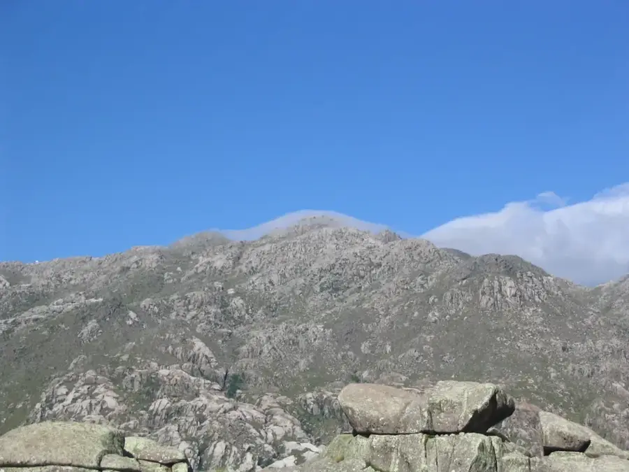
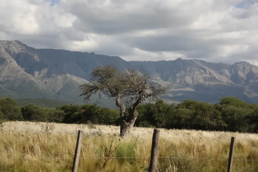
Cerro Champaquí is the highest peak in the province of Córdoba, reaching 2,790 meters, and is considered the 'roof' of the Sierras de Córdoba region. Located in the Sierras Grandes massif, it is a pilgrimage destination for thousands of trekking enthusiasts who ascend to its summit to enjoy a 360-degree panorama of the Traslasierra and Calamuchita valleys. Its western slope is steep and rocky, while the eastern slope has gentler inclines. A unique feature of the summit is the existence of a small freshwater lagoon that gives the mountain its name. The surrounding region is a vital hydrological reserve, hosting native species such as the Andean condor and tabaquillo forests. The ascent of Champaquí is a classic ritual of Argentine adventure, symbolizing the connection with the central mountain nature.
- Location: Argentina
- Top sights: Cerro Negro · Casa minero Jesús Torres · Cerro Champaqui
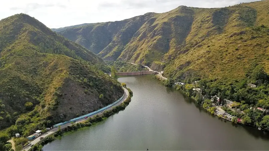
- Nearby: Mina Clavero (15 km)
Best time to visit & climate
The most pleasant time to visit is Feb, Nov, Dec.
| Jan | Feb | Mar | Apr | May | Jun | Jul | Aug | Sep | Oct | Nov | Dec | |
|---|---|---|---|---|---|---|---|---|---|---|---|---|
| Avg °C | 22 | 20 | 18 | 15 | 11 | 8 | 7 | 10 | 13 | 16 | 19 | 21 |
| Rain mm | 123 | 118 | 99 | 56 | 19 | 8 | 11 | 6 | 25 | 57 | 95 | 113 |
📋 Practical info
Geography
Facts
- The maximum altitude is 2,790 meters.
- The name means 'water on the peak' in the indigenous Comechingón language.
- It is part of the Pampa de Achala Provincial Natural Park.
- The lagoon on the summit frequently freezes in winter.
- It is one of the most visited trekking spots in Argentina.
- Hosts the monumental statue of Christ on its summit.
- The vegetation at the base includes 'Tabaquillo' (Polylepis australis) forests.
Explore nearby
Notable places around
Route planner — Car & Motorhome
Where do you start? We build the route here, with stops and country notes along the way.
© OpenStreetMap contributors · OpenRouteService
Sights in the town Cerro Champaquí (6)
Sights nearby
Frequently asked questions
How long does the ascent take?
Is the trail marked?
Do I need accommodation on the mountain?
When is the best time for hiking?
Are there water sources there?
Cerro Champaquí: where is it located?
Cerro Champaquí: what is there to see?
Cerro Champaquí: when is the best time to visit?
Cerro Champaquí: why is it worth visiting?

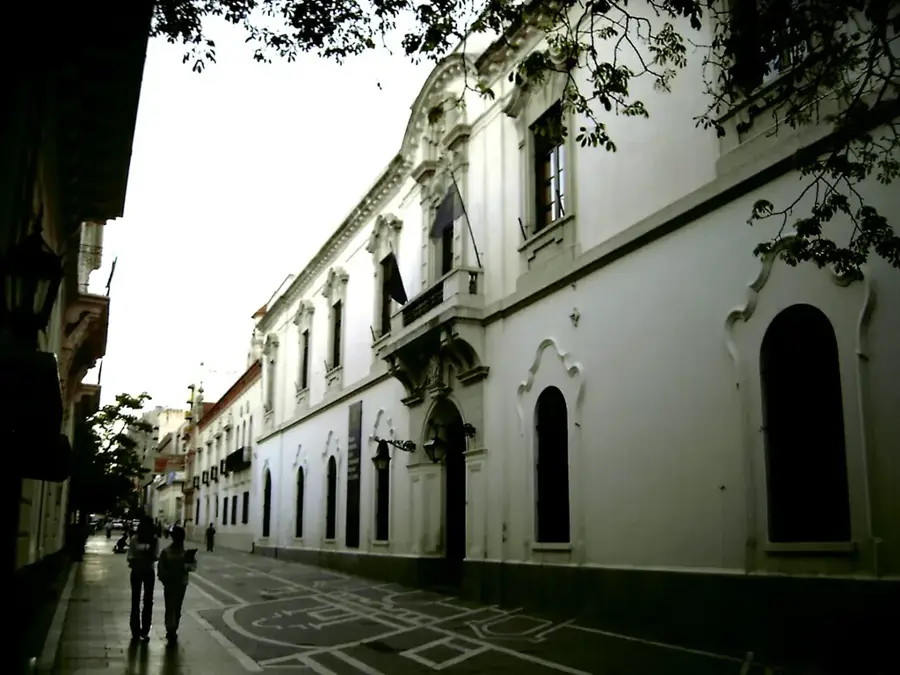
History & landmarks

Nature
More places