Plizio Visual Lab
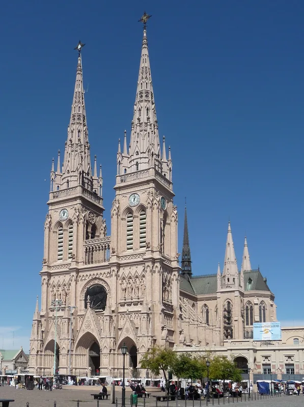
Fort of Carmen de Patagones
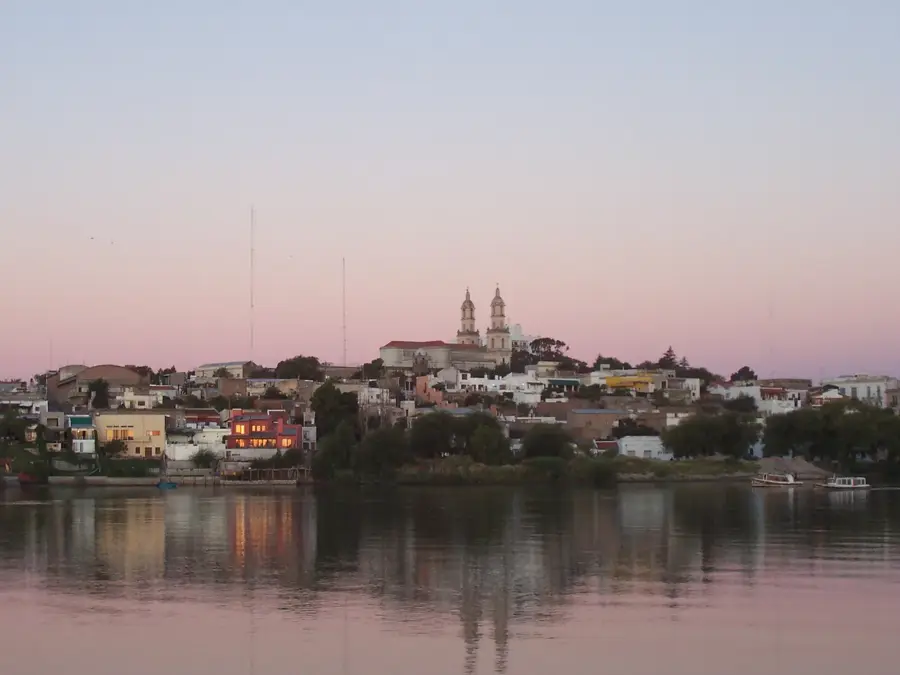
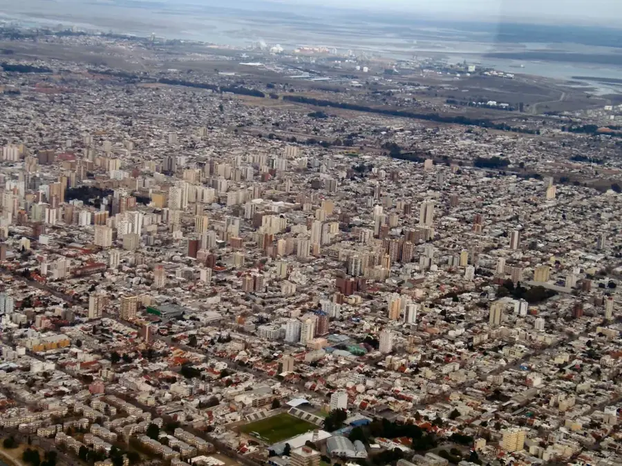
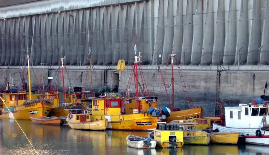
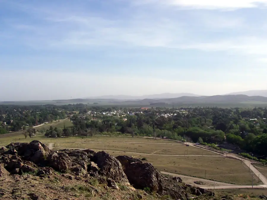
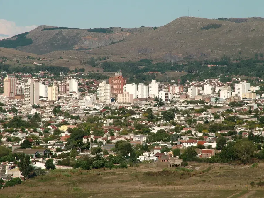
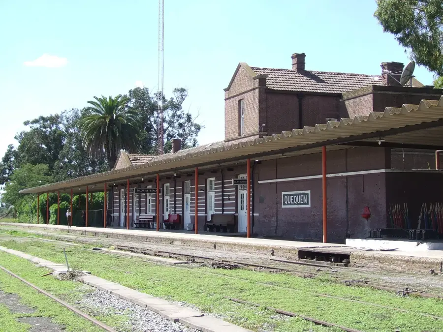
Carmen de Patagones was founded on April 22, 1779, by Francisco de Viedma, making it the southernmost city in the Buenos Aires province. The original fortification, known as Fuerte del Carmen, played a pivotal role in the Spanish expansion into Patagonian territory, serving as a strategic outpost on the northern bank of the Río Negro. The site achieved major historical significance during the Cisplatine War, specifically on March 7, 1827, when local defenders and militias defeated a Brazilian Imperial fleet in the Battle of Patagones. Today, remnants of the historic fortifications, colonial-era houses, and the old parish church are preserved within the city's historical district. The town maintains a unique atmosphere with steep streets and buildings from the 18th and 19th centuries that showcase its frontier heritage. For decades, it served as the gateway between the Pampas and the wild south of Patagonia. Its legacy is honored annually with festivals commemorating the 1827 victory and through its status as a National Historic Site.
- Location: Argentina
- Top sights: Playa José Antonio Ruiz · Cartel de Carmen de Patagones · Cañón
Best time to visit & climate
The most pleasant time to visit is Jan, Feb, Dec.
| Jan | Feb | Mar | Apr | May | Jun | Jul | Aug | Sep | Oct | Nov | Dec | |
|---|---|---|---|---|---|---|---|---|---|---|---|---|
| Avg °C | 22 | 21 | 19 | 15 | 11 | 8 | 7 | 8 | 11 | 14 | 17 | 20 |
| Rain mm | 28 | 44 | 50 | 33 | 34 | 27 | 34 | 26 | 23 | 37 | 25 | 22 |
📋 Practical info
Geography
Facts
- Foundation date: April 22, 1779
- Historic victory: Battle of Patagones on March 7, 1827
- Location: Northern bank of the Río Negro, Buenos Aires province
- Status: Designated as a National Historic Site
- Feature: Preserves cave dwellings used by early Spanish settlers
- Significance: Oldest permanent Spanish settlement in Patagonia
Explore nearby
Notable places around
Route planner — Car & Motorhome
Where do you start? We build the route here, with stops and country notes along the way.
© OpenStreetMap contributors · OpenRouteService
Sights in the town Fort of Carmen de Patagones (17)
Sights nearby
Frequently asked questions
What is Fuerte de Carmen de Patagones?
Is it worth visiting for tourists?
How long does the walk take?
Is it family-friendly?
What is the best time of day?
Fort of Carmen de Patagones: where is it located?
Fort of Carmen de Patagones: what is there to see?
Fort of Carmen de Patagones: when is the best time to visit?
Fort of Carmen de Patagones: why is it worth visiting?

History & landmarks
More places