Plizio Visual Lab
Puna de Atacama
Weather…
Water temperature…
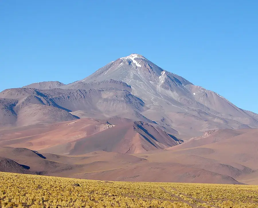
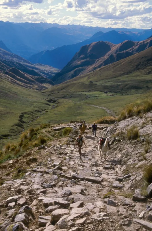
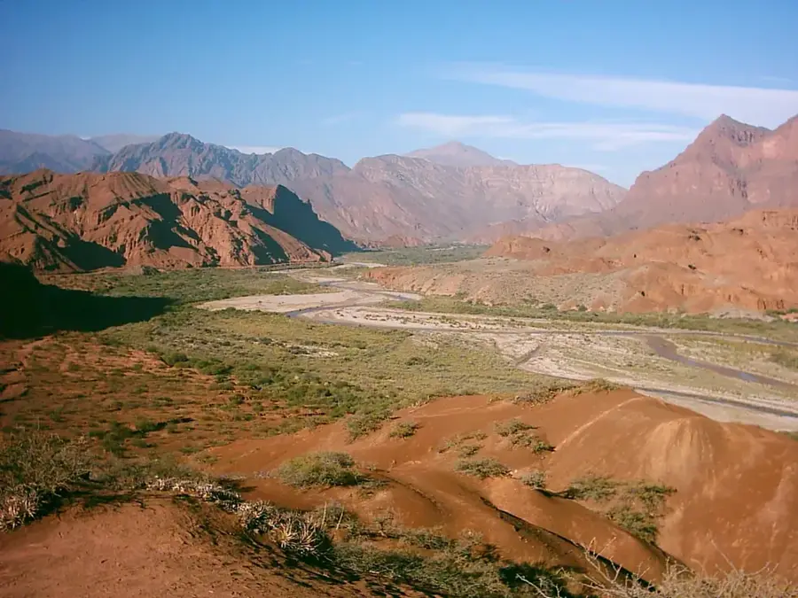
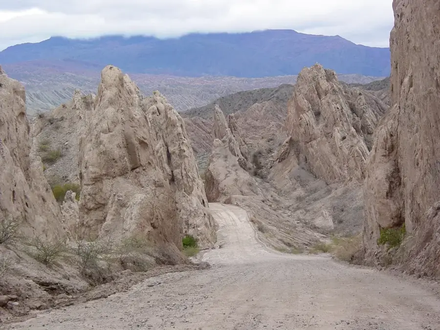
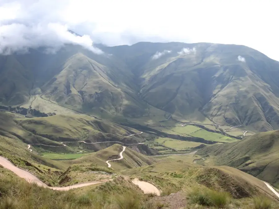
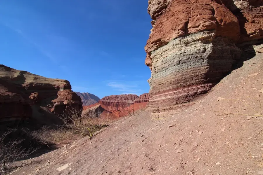
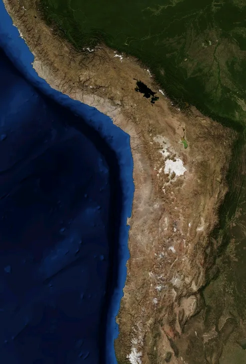
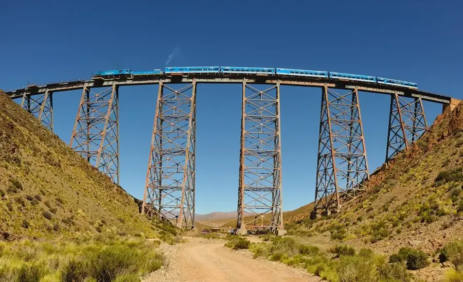
The Puna de Atacama is a high-altitude desert plateau located in northwestern Argentina, part of the vast Altiplano system. Situated at over 3,500 meters above sea level, the Puna is characterized by extreme aridity, intense solar radiation, and a huge daily thermal amplitude. The landscape is lunar, dominated by dazzling salt flats (salares), colorful lagoons, and volcanic peaks reaching almost 7,000 meters. It is one of the least populated regions in the world, where life is possible only in small oases near watercourses. The region holds immense lithium resources, the 'white gold' of the 21st century. Beyond its economic importance, the Puna provides a mystical experience, with endless horizons and exceptionally clear skies, well-suited for astronomical observations.
- Location: Argentina
- Top sights: Cerro La Cantera · Cerro Casliri · Cerros de Incahuasi
Best time to visit & climate
The most pleasant time to visit is Oct–Dec.
| Jan | Feb | Mar | Apr | May | Jun | Jul | Aug | Sep | Oct | Nov | Dec | |
|---|---|---|---|---|---|---|---|---|---|---|---|---|
| Avg °C | 8 | 7 | 6 | 3 | 0 | -1 | -1 | 0 | 2 | 4 | 6 | 7 |
| Rain mm | 90 | 81 | 58 | 25 | 6 | 2 | 2 | 2 | 2 | 13 | 28 | 71 |
📋 Practical info
Geography
Facts
- The average altitude exceeds 3,800 meters above sea level.
- Hosts some of the highest active volcanoes on Earth.
- Salinas Grandes is one of the largest salt deserts in the world.
- The region holds over 60% of the world's known lithium reserves.
- The temperature can vary from 20°C during the day to -20°C at night.
- It is the natural habitat of high-altitude flamingos and vicuñas.
- Includes the famous 'Cono de Arita', a perfect natural salt pyramid.
Explore nearby
Notable places around
Route planner — Car & Motorhome
Where do you start? We build the route here, with stops and country notes along the way.
© OpenStreetMap contributors · OpenRouteService
Sights in the town Puna de Atacama (3)
Sights nearby
Frequently asked questions
What is the weather like in Puna de Atacama?
Do I need a 4x4 vehicle?
Are there accommodations?
What equipment is necessary?
What is the altitude of the region?
Puna de Atacama: where is it located?
Puna de Atacama: what is there to see?
Puna de Atacama: when is the best time to visit?
Puna de Atacama: why is it worth visiting?

History & landmarks
More places