Plizio Visual Lab
Cerro Guayaques
Weather…
Water temperature…
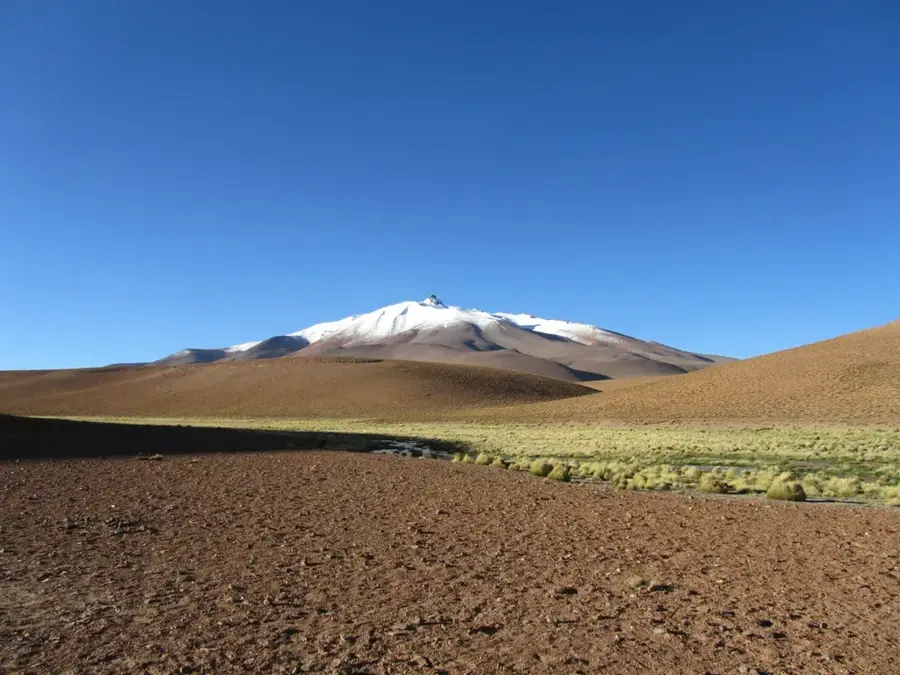
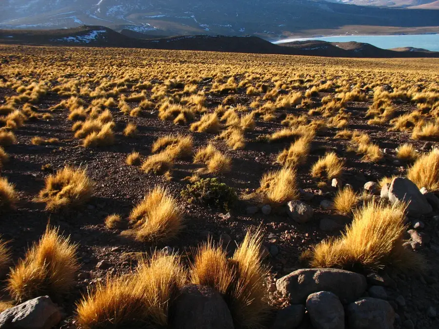
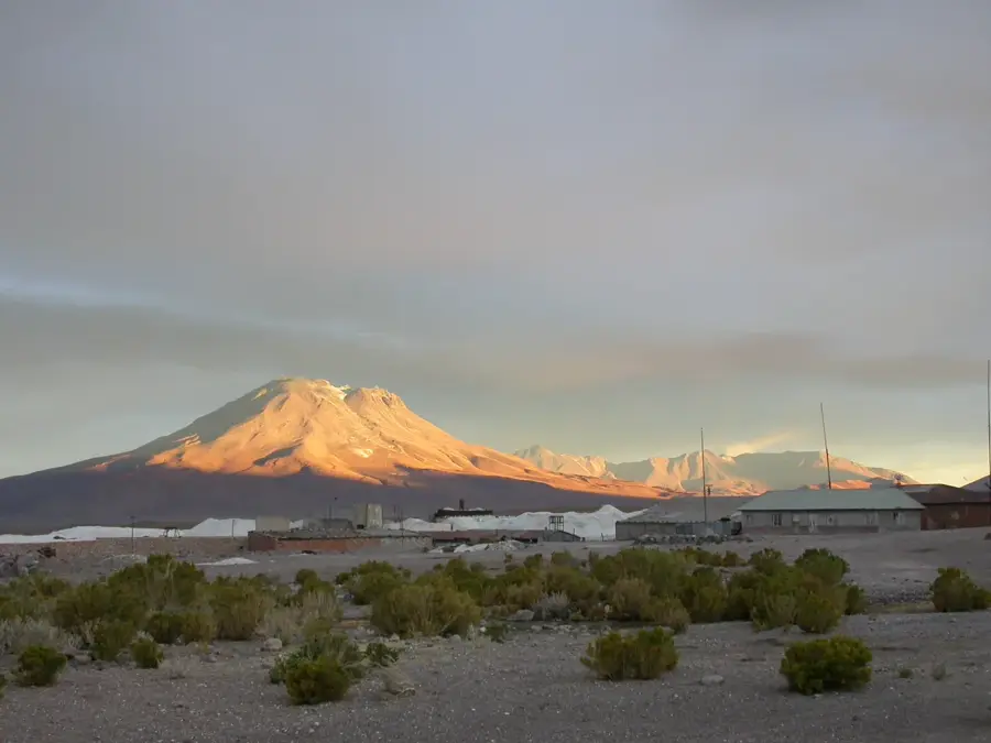
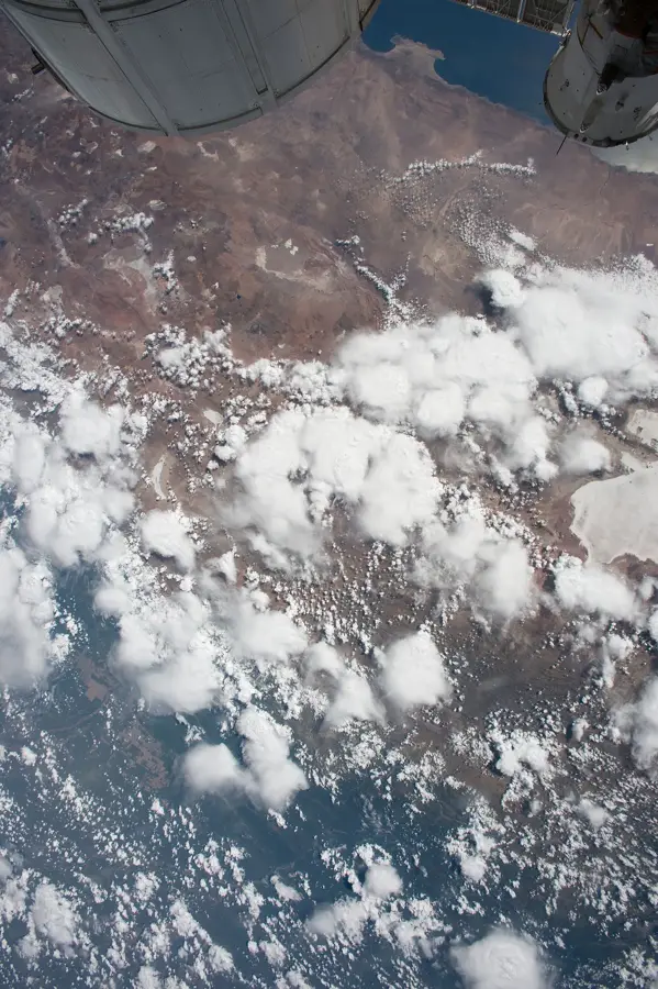
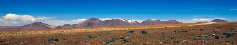
Cerro Guayaques is a prominent lava dome complex located on the border between Bolivia and Chile, in the remote region of the Altiplano. Standing at an elevation of approximately 5,597 meters, it belongs to the Central Volcanic Zone of the Andes and is characterized by its geological structure of dacitic and andesitic lava flows. The surrounding area is extremely arid, marked by volcanic ash fields and sparse vegetation. Historically, Guayaques was never permanently inhabited due to its inhospitality, but it serves as an important study object for geologists researching Pliocene and Pleistocene volcanic activity. The summit region has wide-open views of the surrounding salt flats and volcanoes of the Western Cordillera. Ecological conditions are defined by extreme temperature fluctuations and intense solar radiation, allowing only highly specialized life forms to survive. Scientifically, Cerro Guayaques is of interest as it provides insights into the tectonic development of the Central Andes. For mountaineers, the summit represents a technical challenge in one of the loneliest areas of South America.
Best time to visit & climate
The most pleasant time to visit is Jan, Nov, Dec.
| Jan | Feb | Mar | Apr | May | Jun | Jul | Aug | Sep | Oct | Nov | Dec | |
|---|---|---|---|---|---|---|---|---|---|---|---|---|
| Avg °C | 5 | 5 | 4 | 2 | -1 | -2 | -3 | -1 | 0 | 2 | 4 | 5 |
| Rain mm | 38 | 34 | 24 | 7 | 2 | 1 | 1 | 1 | 1 | 7 | 10 | 30 |
📋 Practical info
Geography
Facts
- The summit height of Cerro Guayaques is 5,597 meters.
- The volcano is situated directly on the drainage divide between Bolivia and Chile.
- It consists primarily of viscous lava domes and short lava flows.
- The complex is categorized within the Central Volcanic Zone (CVZ) of the Andes.
- The Laguna Puripica Chico is located in the vicinity.
- The geological activity of Guayaques is dated to the late Pleistocene.
Explore nearby
Notable places around
Route planner — Car & Motorhome
Where do you start? We build the route here, with stops and country notes along the way.
© OpenStreetMap contributors · OpenRouteService
Sights in the town Cerro Guayaques (1)
Sights nearby
Frequently asked questions
Where is this mountain located?
Is the climb difficult?
What is special about the summit?
How to get to the starting point?
Are there toilets?
Cerro Guayaques: where is it located?
Cerro Guayaques: when is the best time to visit?
Cerro Guayaques: why is it worth visiting?

History & landmarks

Nature

More places