Plizio Visual Lab
Lucala
ℹ️Practical info — Lucala
▾
🌤 Weather — 5 days
📍 Nearby
Sights nearby
💡 Tips
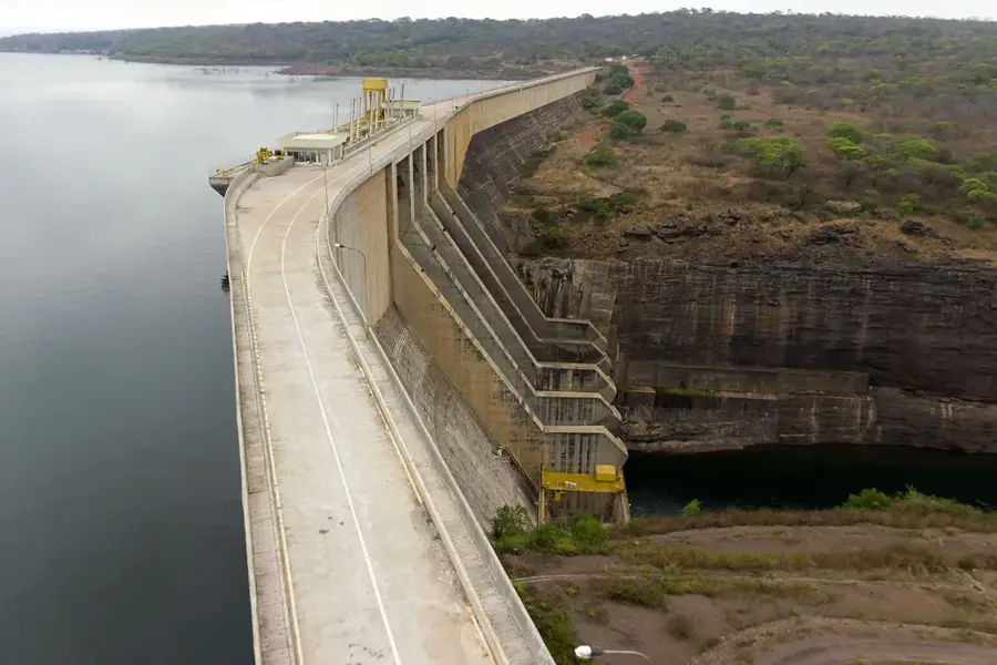
- Lucala is a great base for visiting the spectacular Kalandula Falls; plan your trip for the rainy season to see them at their peak.
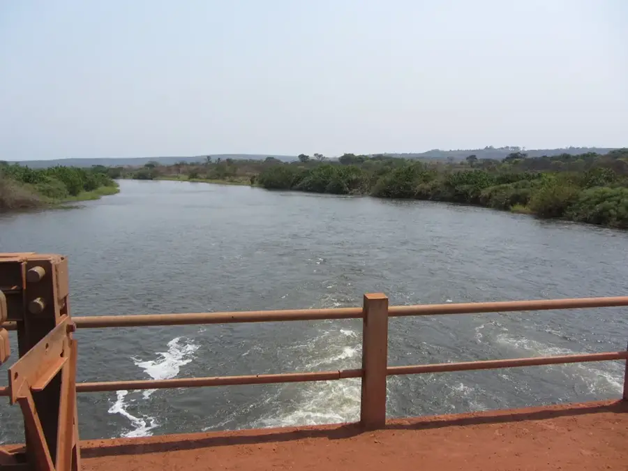
- The town is located along the Lucala River; bring insect repellent, especially in the evenings.
- Public transport to nearby attractions can be sporadic; hiring a local driver or having your own vehicle is best.
- The climate is tropical and humid, so pack lightweight, breathable clothing.
🍽 Food
Freshly caught from the Lucala River and typically served grilled at local roadside eateries.
A traditional Angolan chicken stew accompanied by cassava flour porridge.
Enjoy locally grown mangoes and bananas available at small stands along the main roads.
🛍 Shopping · 🧘 Quiet spots
A bustling spot to buy fresh regional produce and everyday goods.
Look out for woven baskets and wooden carvings sold by vendors near the main junction.
Find a quiet spot along the river to watch the water flow and listen to the birds.
The lush green hills outside the town offer peaceful walking opportunities.
Water temperature…
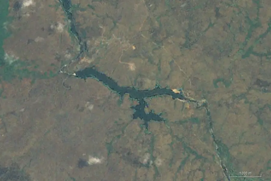
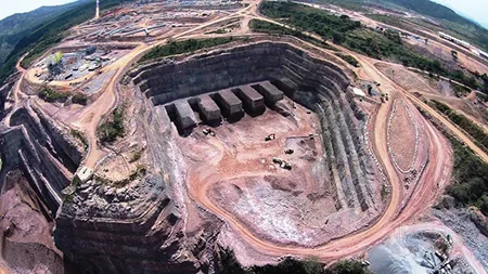
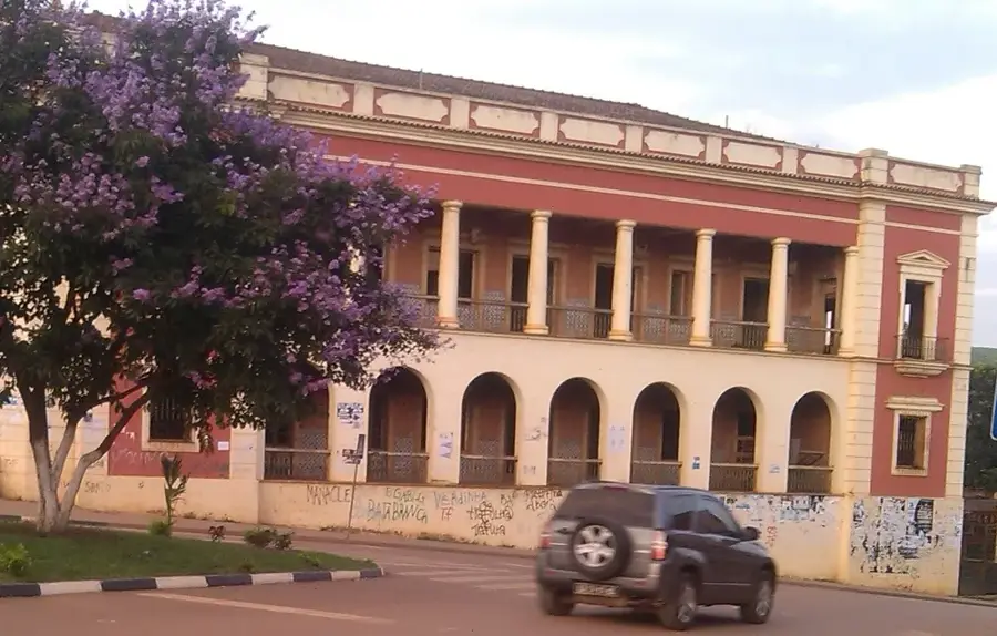
Lucala is a strategically positioned town in the Cuanza Norte Province, named after the Lucala River that flows through the region. The town serves as a crucial transportation hub, situated at the intersection of major national highways and the railway line connecting Luanda to Malanje. Geographically, the area is characterized by fertile river valleys and rolling hills that support intensive agricultural activities. The history of Lucala is closely tied to colonial expansion and the construction of the Luanda Railway in the late 19th century. Today, the town is a vital logistics center for the transit of agricultural products and construction materials between the capital and the eastern regions of the country. The local economy also benefits from livestock farming and the cultivation of cassava and grains. Lucala features an expanding infrastructure, making it an attractive location for investments in the agribusiness sector. The natural environment, centered around the Lucala River, provides opportunities for fishing and local water resources. As a gateway to Malanje Province, Lucala maintains high strategic importance for national development.
- Location: Angola
- Nearby: Cacuso (55 km)
- Population: ~19.422 (2026)
Best time to visit & climate
The most pleasant time to visit is Jun–Aug.
| Jan | Feb | Mar | Apr | May | Jun | Jul | Aug | Sep | Oct | Nov | Dec | |
|---|---|---|---|---|---|---|---|---|---|---|---|---|
| Avg °C | 23 | 23 | 23 | 23 | 24 | 22 | 22 | 24 | 25 | 24 | 23 | 23 |
| Rain mm | 94 | 103 | 145 | 106 | 17 | 2 | 0 | 7 | 37 | 118 | 180 | 127 |
Geography
Facts
- Lucala is located approximately 35 kilometers east of the provincial capital, Ndalatando.
- The town is a key station on the 424-kilometer-long Luanda Railway.
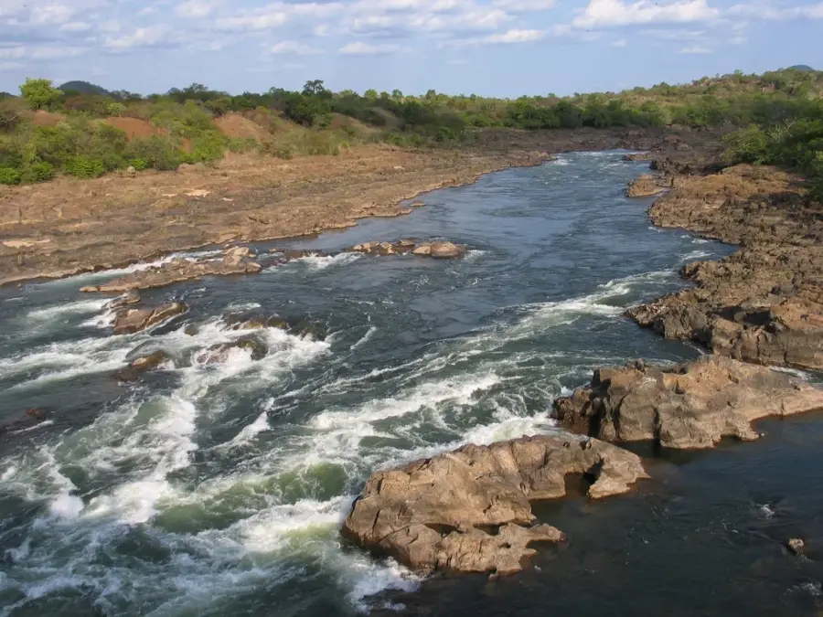
- The Lucala River is the largest tributary of the Cuanza River.
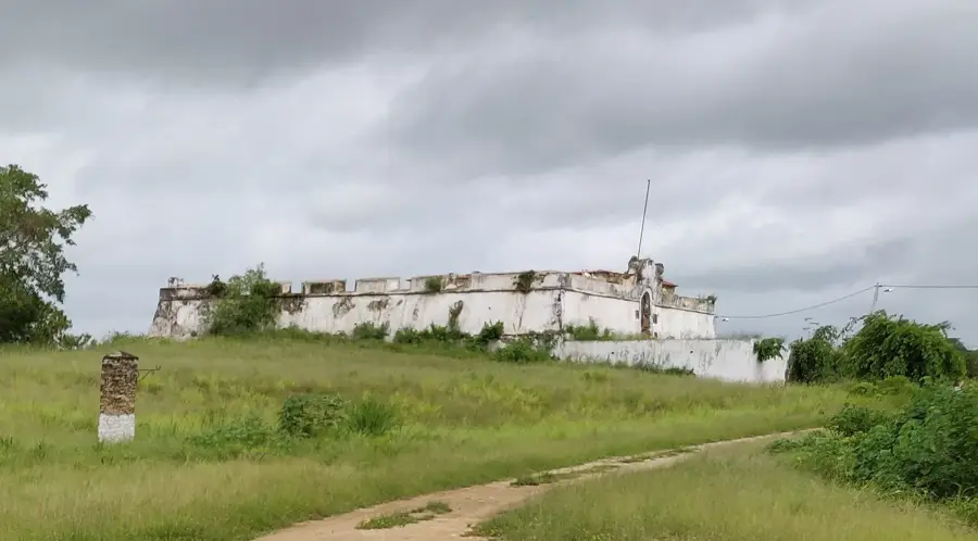
- Historically, Lucala was a strategic military post during the Portuguese expansion inland.
- The town serves as the primary link between Cuanza Norte and Malanje provinces.
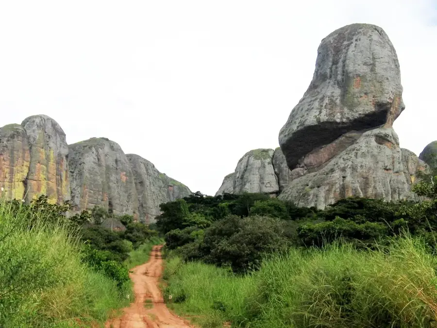
- The Lucala area is noted for its biodiversity and local wildlife populations.
Explore nearby
Notable places around
Route planner — Car & Motorhome
Where do you start? We build the route here, with stops and country notes along the way.
© OpenStreetMap contributors · OpenRouteService
Frequently asked questions
How many days should you plan for Lucala?
When is the best time to visit Lucala?
How do you travel to Lucala?
What should you eat in Lucala?
Is Lucala family-friendly?
Lucala: where is it located?
Lucala: when is the best time to visit?
Lucala: why is it worth visiting?

Nearby cities
History & landmarks
More places