Plizio Visual Lab
Engolasters Dam Infrastructure
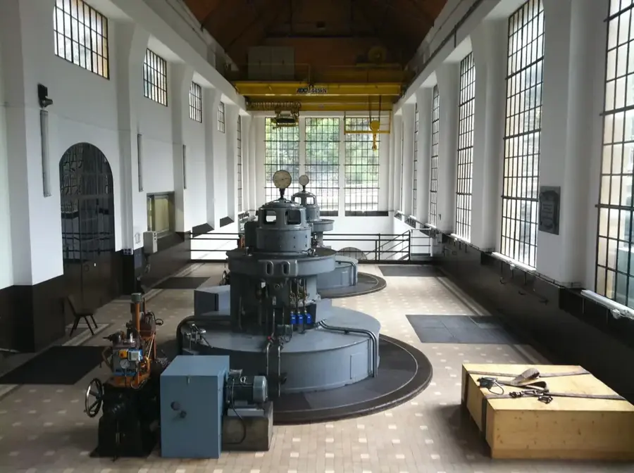
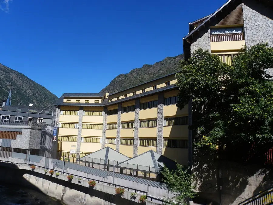
The Engolasters Dam infrastructure is an engineering masterpiece from the 1930s and forms the heart of Andorra's hydroelectric power utilization. The reservoir is situated at an altitude of approximately 1,616 meters and was created by the FHASA company (now FEDA) to secure the country's electricity supply. Water is collected from the Valira d'Orient and Madriu rivers through a complex system of channels and directed via a penstock to the power station in Encamp. The construction of the dam marked the beginning of Andorra's modern industrial development and enabled the electrification of remote valleys. The dam itself is a gravity dam that blends harmoniously into the alpine landscape. In addition to its economic significance for energy production, the lake today serves as an important recreational area and water reservoir. The technical facilities are constantly modernized to increase efficiency and meet ecological standards. Engolasters remains a symbol of the successful combination of technical progress and environmental protection.
- Location: Andorra
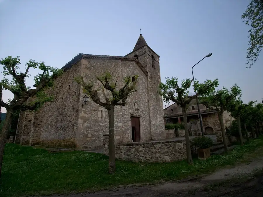
- Top sights: MW Museu de l'Electricitat · Esglesia de Sant Miquel d'Engolasters · Mirador del circuit de les fonts
- Nearby: L'Aldosa de La Massana (4 km)
Best time to visit & climate
The most pleasant time to visit is Jun–Aug.
| Jan | Feb | Mar | Apr | May | Jun | Jul | Aug | Sep | Oct | Nov | Dec | |
|---|---|---|---|---|---|---|---|---|---|---|---|---|
| Avg °C | -2 | -2 | 1 | 5 | 9 | 14 | 16 | 16 | 12 | 8 | 2 | -1 |
| Rain mm | 60 | 48 | 57 | 71 | 77 | 52 | 46 | 47 | 50 | 64 | 70 | 49 |
📋 Practical info
Geography
Facts
- The reservoir is located at an elevation of 1,616 meters.
- Construction was completed in 1934 by the FHASA company.
- The water drives the turbines of the power plant in Encamp.
- It is the primary water reservoir for national power generation.
- The dam is constructed as a solid gravity dam structure.
- The system draws water from the Madriu-Perafita-Claror valley.
Explore nearby
Notable places around
Route planner — Car & Motorhome
Where do you start? We build the route here, with stops and country notes along the way.
© OpenStreetMap contributors · OpenRouteService
Sights in the town Engolasters Dam Infrastructure (10)
Tamarro (Caldes)
Rock formation or monument in the Caldes area, Andorra.
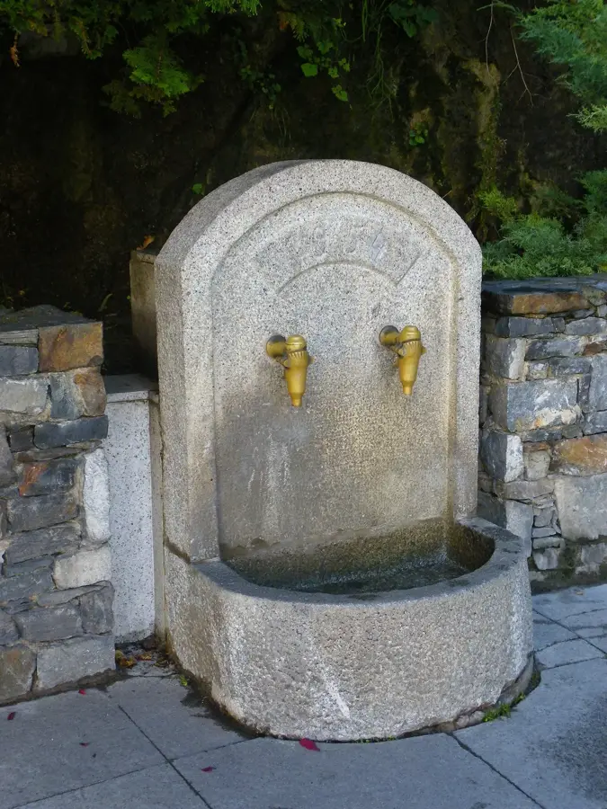
Font de les Ordigues
Spring in Escaldes-Engordany, Andorra.
Els Jocs d'aigua
Water play area or fountains in Escaldes-Engordany.
Pic de Padern
Mountain in Andorra, part of the Pyrenees.
Agulles d'Engolasters
Rock needles or pointed formations near Engolasters.
Centre d'Interpretació de l'Agua i del Madriu (CIAM)
Exhibition space about water and the Madriu valley in Escaldes-Engordany.
Sights nearby
Frequently asked questions
What is the infrastructure in Engolasters used for?
Can you walk on the dam?
Is swimming allowed in the lake?
How deep is Lake Engolasters?
Are there cafes there?
Engolasters Dam Infrastructure: where is it located?
Engolasters Dam Infrastructure: what is there to see?
Engolasters Dam Infrastructure: when is the best time to visit?
Engolasters Dam Infrastructure: why is it worth visiting?

History & landmarks


Nature
More places