Plizio Visual Lab
Pic d'Aixeus
Weather…
Water temperature…
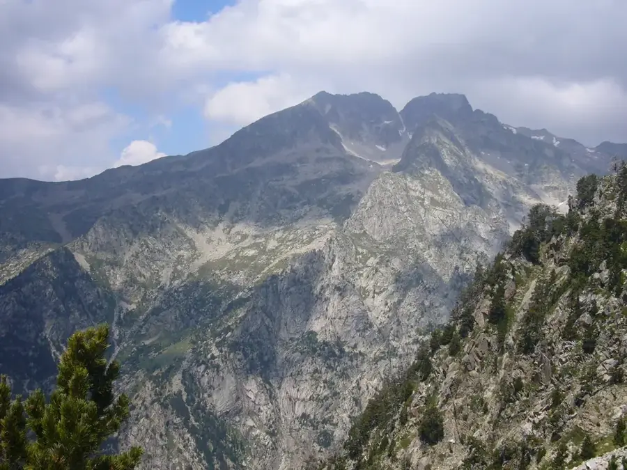
The Pic d'Aixeus is a majestic mountain peak in the Pyrenees, situated on the border between the Principality of Andorra and Spain. Rising to approximately 2,858 meters above sea level, it marks a prominent feature within the Pallars massif. The mountain is located near the well-known Vallferrera valley on the Spanish side and the La Massana area in Andorra. Its morphology is defined by steep rock faces and glacial cirques that bear witness to ice age transformations. Mountaineers value the summit for its challenging climbing routes and its proximity to the GR-11 long-distance trail. Vegetation is sparse at high altitudes, restricted to subnival species, while pine forests dominate the lower slopes. Historically, the passes below the peak were utilized for smuggling and the exchange of goods during periods of political difficulty.
- Location: Andorra
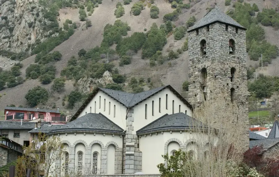
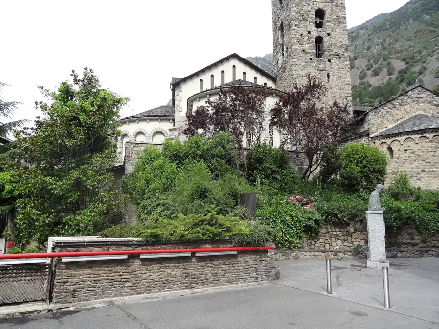
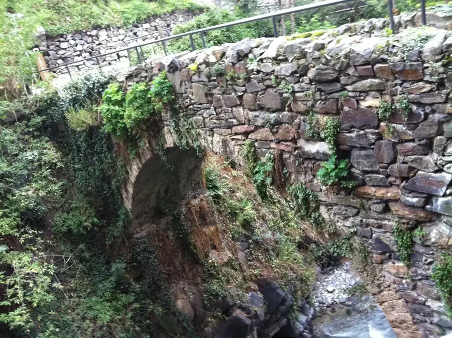
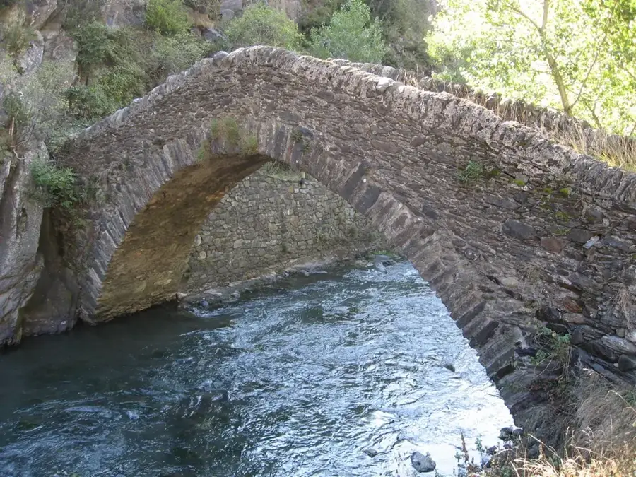
- Top sights: Roc dels Corbs · Casa de la Vall · Antiga presó de la Casa del Quart (segle 18)
- Nearby: Erts (4 km)
Best time to visit & climate
The most pleasant time to visit is Jun–Aug.
| Jan | Feb | Mar | Apr | May | Jun | Jul | Aug | Sep | Oct | Nov | Dec | |
|---|---|---|---|---|---|---|---|---|---|---|---|---|
| Avg °C | -2 | -2 | 1 | 5 | 9 | 14 | 16 | 16 | 12 | 8 | 2 | -1 |
| Rain mm | 60 | 48 | 57 | 71 | 77 | 52 | 46 | 47 | 50 | 64 | 70 | 49 |
📋 Practical info
Geography
Facts
- The summit reaches an elevation of approximately 2,858 meters.
- The mountain forms part of the national border between Andorra and Spain.
- Access is often through the Spanish village of Alins in Pallars Sobirà.
- Nearby is the Estany d'Aixeus lake, located at 2,400 meters altitude.
- The rock formations consist predominantly of granite and slate.
- The peak offers a clear view of Pica d'Estats, the highest mountain in Catalonia.
Explore nearby
Notable places around
Route planner — Car & Motorhome
Where do you start? We build the route here, with stops and country notes along the way.
© OpenStreetMap contributors · OpenRouteService
Sights in the town Pic d'Aixeus (10)
Font de Ferrús
Font de Ferrús is a spring in Andorra la Vella, near the city center.
Bici Lab Andorra🏛 museum
Bici Lab Andorra is a museum in Andorra la Vella. It showcases the history of bicycles and cycling.
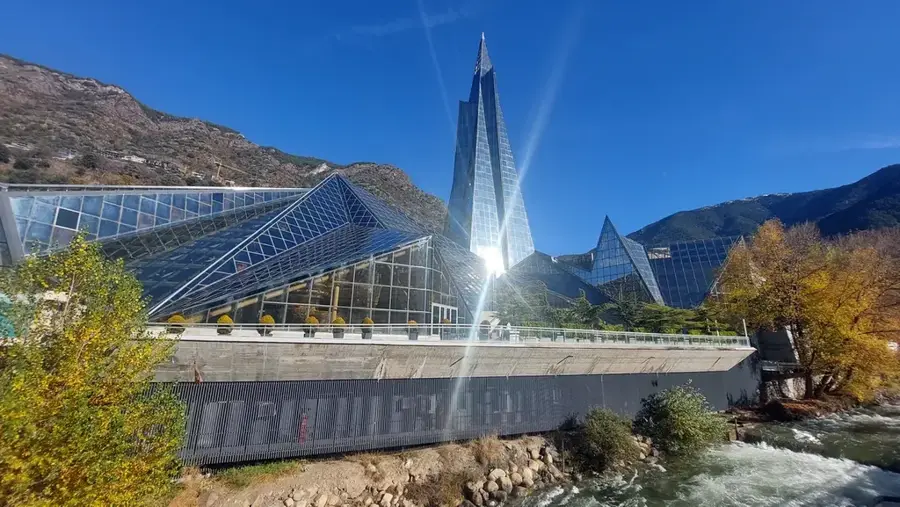
Congress centre of Andorra la Vella
The congress centre of Andorra la Vella also functions as a theatre. It is located downtown.
Plaça del Poble🌳 park
Plaça del Poble is a square in Andorra la Vella, used as a park and event venue.
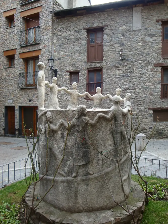
Homenatge a l'emigrant
The Homenatge a l'emigrant monument in Andorra la Vella honors the country's emigrants.
Museu Obert de Geologia. Roques al Carrer🏛 museum
Museu Obert de Geologia displays rock samples in public spaces across Andorra la Vella.
Sights nearby
Frequently asked questions
Where is Pic d'Aixeus located?
How high is this peak?
Is there a lake there?
Is the ascent difficult?
What fauna can be observed?
Pic d'Aixeus: where is it located?
Pic d'Aixeus: what is there to see?
Pic d'Aixeus: when is the best time to visit?
Pic d'Aixeus: why is it worth visiting?

History & landmarks


Nature
More places