Plizio Visual Lab
Zall-Herr
ℹ️Practical info — Zall-Herr
▾
🌤 Weather — 5 days
📍 Nearby
Sights nearby
💡 Tips
- Be cautious when taking photos, as the nearby military base has strict no-photography zones.
- Use the frequent minibus (furgon) services from Tirana for a cheap and quick trip.
- Wear sturdy shoes if you plan to hike the nearby Dajti foothills.
- Prices here are generally lower than in central Tirana, making it a budget-friendly stop.
🍽 Food
Look for traditional taverns serving this baked lamb and yogurt dish.
Enjoy affordable and fresh grilled meats at local roadside smokehouses.
End your meal with a shot of strong local plum or grape spirit.
🛍 Shopping · 🧘 Quiet spots
Small local shops offer basic supplies and sometimes homemade jams or honey.
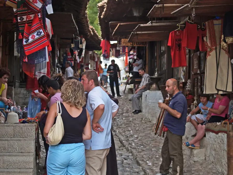
For extensive shopping, head back to Tirana's lively open-air markets.
Explore the peaceful trails leading up towards the mountains.
Find a quiet spot along the river for a relaxing picnic.
Water temperature…
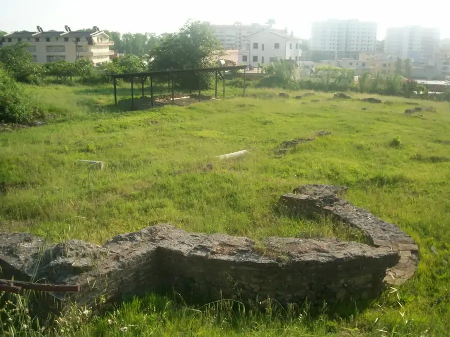
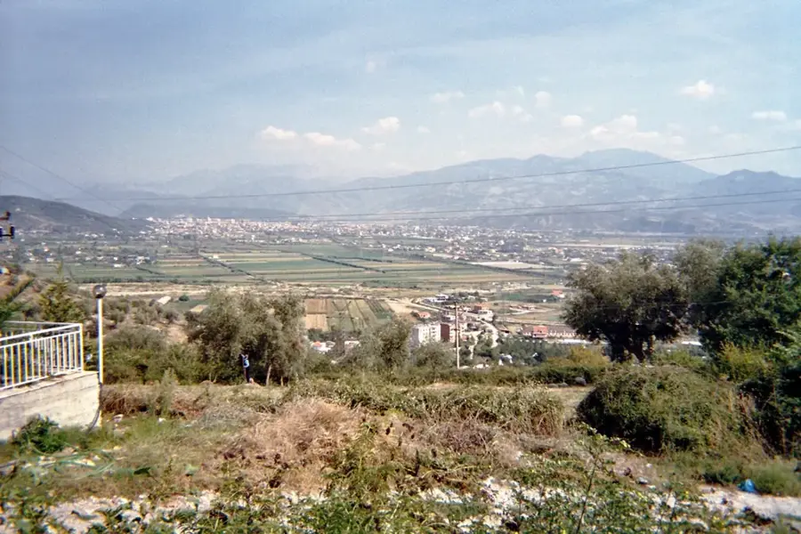
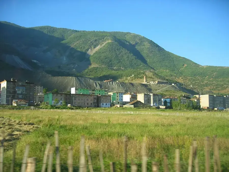
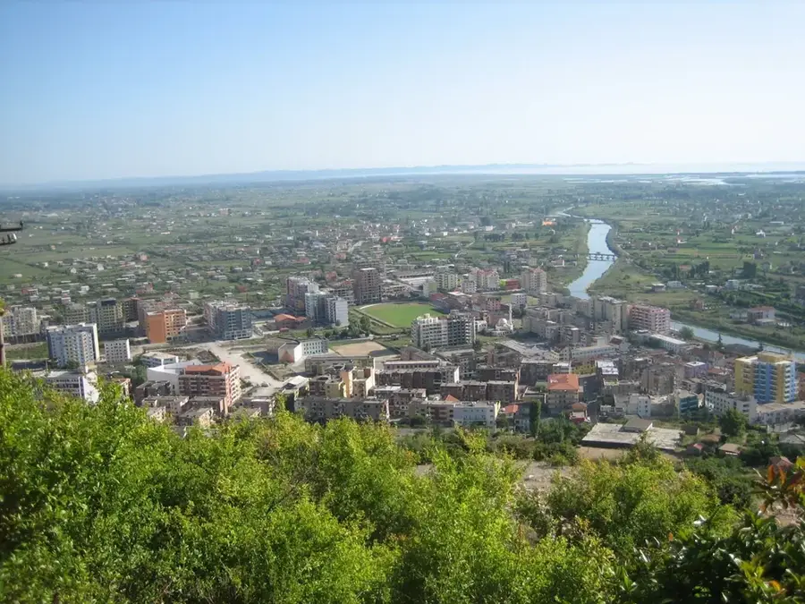
Zall-Herr is a strategically significant administrative unit located to the north of Tirana, known for its military importance and rural structural roots. The region stretches along the Tërkuzë River valley and is geographically defined by a mix of flat plains and steep hill ranges. According to the 2011 census, its population consists of approximately 9,389 residents, encompassing nine villages, including Zall-Herr, Dritas, and Çerkezë. The town is most notably known as the site of one of the primary bases for the Albanian Armed Forces, which has heavily influenced local development for decades. Historically, the area was focused on agriculture, with cereal cultivation and livestock farming as the main livelihoods. Nearby lies the Bovilla Reservoir, the primary water source for the capital city of Tirana, giving the region great ecological and infrastructural significance. Despite the proximity to the expanding capital, Zall-Herr maintains a quiet character and features extensive areas for agricultural use. The local community is deeply rooted and benefits from improved transportation links to the urban center through modern road upgrades.
- Location: Albania
- Top sights: Zall-Herr Military Base · Kodër e Kuqe · Fushë e Kërçikëve
- Nearby: Kamëz (6 km)
- Population: ~9.389
Best time to visit & climate
The most pleasant time to visit is Jun–Aug.
| Jan | Feb | Mar | Apr | May | Jun | Jul | Aug | Sep | Oct | Nov | Dec | |
|---|---|---|---|---|---|---|---|---|---|---|---|---|
| Avg °C | 2 | 3 | 7 | 11 | 15 | 20 | 24 | 24 | 18 | 13 | 8 | 3 |
| Rain mm | 93 | 83 | 77 | 69 | 64 | 45 | 29 | 27 | 74 | 95 | 109 | 109 |
Geography
Facts
- Population reached 9,389 in the 2011 census
- Home to a major Albanian military installation
- Comprises 9 villages in the Tërkuzë River valley
- Located near the vital Bovilla Reservoir water source
- Key producer of cereals and livestock for the region
- Administrative part of Tirana Municipality in the north
Explore nearby
Notable places around
Route planner — Car & Motorhome
Where do you start? We build the route here, with stops and country notes along the way.
© OpenStreetMap contributors · OpenRouteService
Sights in the town Zall-Herr (3)
Frequently asked questions
What is special about Zall-Herr?
Can you go hiking in Zall-Herr?
Is Zall-Herr accessible by public transport?
Are there local markets in Zall-Herr?
What is the terrain like for cyclists?
Zall-Herr: where is it located?
Zall-Herr: what is there to see?
Zall-Herr: when is the best time to visit?
Zall-Herr: why is it worth visiting?

Nearby cities