Plizio Visual Lab
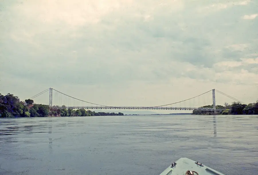
Luangwa Bridge (Historical)
Weather…
Water temperature…
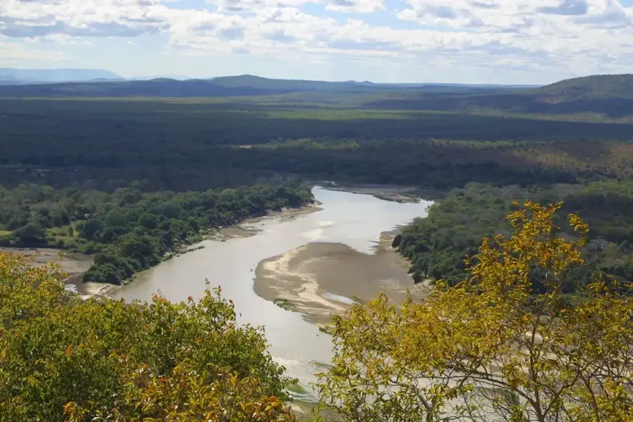
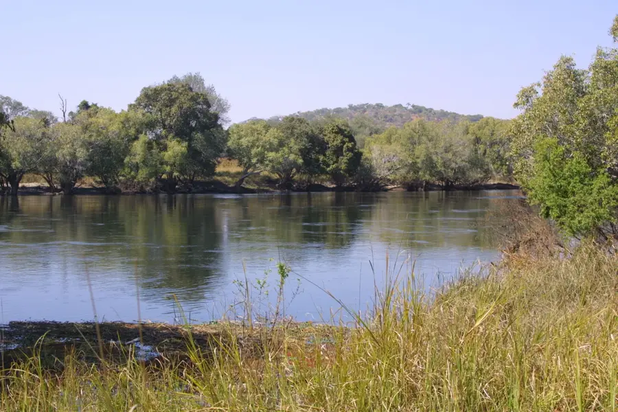
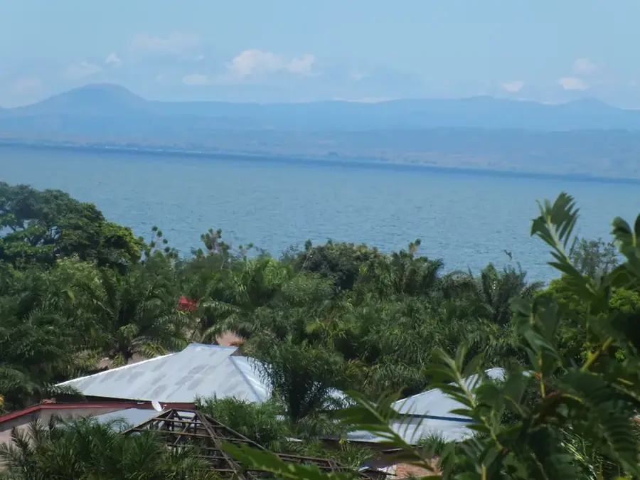
The historical Luangwa Bridge is a critical infrastructure landmark connecting Zambia's Lusaka Province with the Eastern Province across the Luangwa River. The original suspension bridge was commissioned in 1932 through the funding of the Beit Trust to facilitate movement across the rugged terrain. During the geopolitical tensions of the late 1960s, the bridge became a target of sabotage and was destroyed in 1968, highlighting its immense strategic value to the nation's connectivity. A replacement structure was promptly erected later that year to maintain the vital trade link with neighboring Malawi and Mozambique. The current modern cable-stayed bridge was inaugurated in 2003, constructed with significant financial assistance from the Japanese government. It remains a symbol of regional cooperation and economic resilience, serving as a primary node on the Great East Road while offering views of the surrounding wildlife-rich valley.
- Location: Zambia
- Nearby: Nyimba (76 km)
Best time to visit & climate
The most pleasant time to visit is May–Jul.
| Jan | Feb | Mar | Apr | May | Jun | Jul | Aug | Sep | Oct | Nov | Dec | |
|---|---|---|---|---|---|---|---|---|---|---|---|---|
| Avg °C | 25 | 25 | 25 | 24 | 23 | 21 | 20 | 23 | 26 | 29 | 29 | 26 |
| Rain mm | 199 | 157 | 90 | 27 | 2 | 2 | 1 | 1 | 1 | 12 | 67 | 201 |
📋 Practical info
Geography
Facts
- 1932 first suspension bridge built
- 1968 destroyed by regional sabotage
- 2003 modern cable-stayed bridge opened
- Financed by a Japanese government grant
- Key link on the Great East Road
- Primary connection to Malawi border
Explore nearby
Notable places around
Route planner — Car & Motorhome
Where do you start? We build the route here, with stops and country notes along the way.
© OpenStreetMap contributors · OpenRouteService
Sights nearby
Frequently asked questions
Is this the new or the old bridge?
Can you stop there?
Is the river dangerous?
Are there viewpoints?
What is nearby?
Luangwa Bridge (Historical): where is it located?
Luangwa Bridge (Historical): when is the best time to visit?
Luangwa Bridge (Historical): why is it worth visiting?

Nearby cities


History & landmarks
Nature
More places