Plizio Visual Lab
Kabwe Plateau
Weather…
Water temperature…
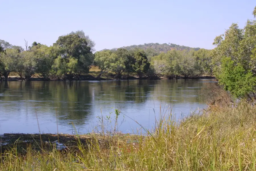
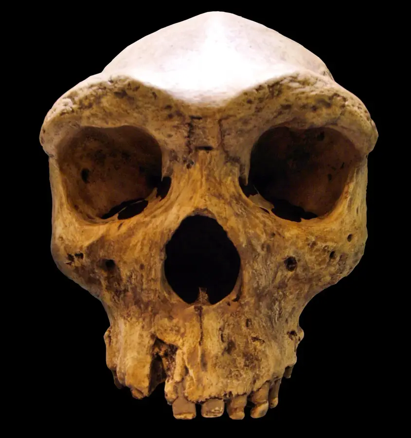
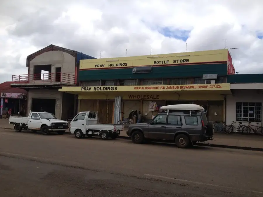
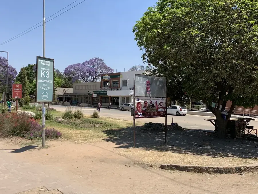
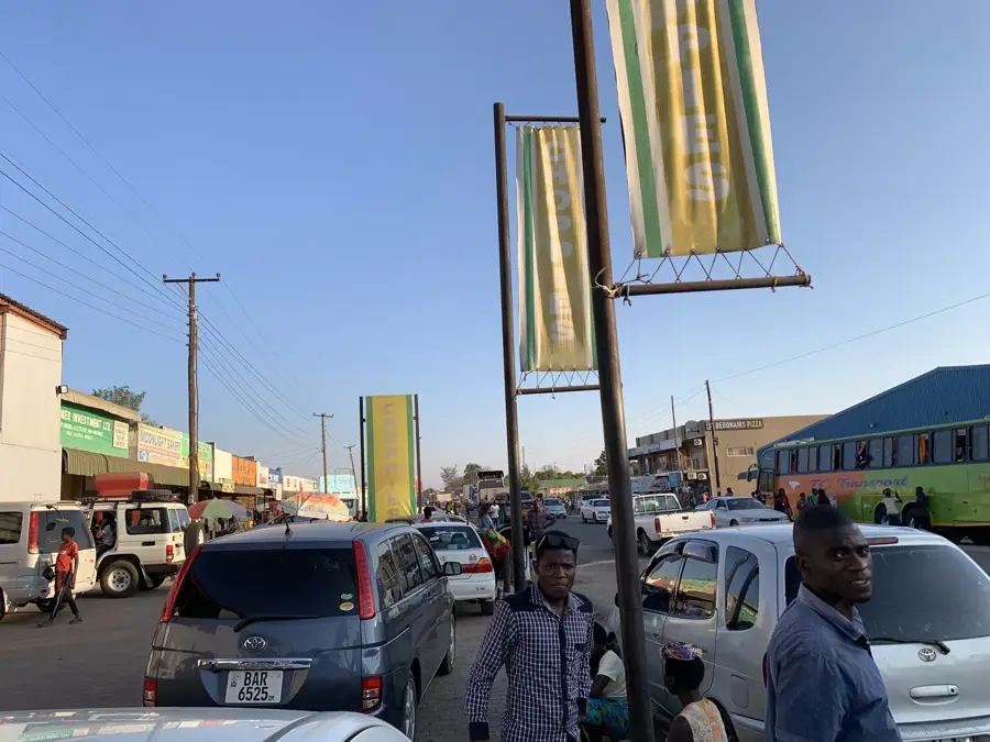
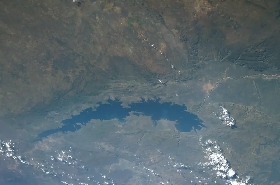
The Kabwe Plateau is a central upland region in Zambia, positioned geographically between the capital city of Lusaka and the Copperbelt. The relief is characterized by a gently undulating topography at an average elevation of approximately 1,200 meters above sea level. Geologically, the plateau is of immense significance due to its rich deposits of lead and zinc ores hosted within ancient limestone and dolomite formations. These mineral resources led to the establishment of Kabwe in 1902, making the plateau one of Southern Africa's earliest major industrial hubs. Historically, the plateau gained global fame for the discovery of the 'Broken Hill Skull' (Homo rhodesiensis) in 1921, a critical fossil find for the study of human evolution. The vegetation is primarily composed of Miombo woodland, although much of the landscape has been modified by decades of mining and commercial agriculture. The plateau serves as a crucial transportation corridor, as the nation's main north-south road and railway lines traverse its high ground. Today, the region faces significant environmental challenges as it works to address the legacy of historical industrial pollution.
- Location: Zambia
- Nearby: Kabwe (8 km)
Best time to visit & climate
The most pleasant time to visit is May, Aug, Sep.
| Jan | Feb | Mar | Apr | May | Jun | Jul | Aug | Sep | Oct | Nov | Dec | |
|---|---|---|---|---|---|---|---|---|---|---|---|---|
| Avg °C | 22 | 22 | 22 | 20 | 19 | 17 | 17 | 20 | 23 | 26 | 26 | 23 |
| Rain mm | 252 | 186 | 119 | 38 | 3 | 1 | 1 | 1 | 0 | 10 | 96 | 244 |
📋 Practical info
Geography
Facts
- The plateau sits at an average elevation of about 1,200 meters.
- The famous 'Broken Hill Skull' was discovered here in 1921.
- The region possesses some of the world's richest lead and zinc deposits.
- Kabwe was the site of the first major mine in modern-day Zambia in 1902.
- The plateau acts as a drainage divide between the Kafue and Luangwa basins.
- The strategic Great North Road traverses the length of the plateau.
Explore nearby
Notable places around
Route planner — Car & Motorhome
Where do you start? We build the route here, with stops and country notes along the way.
© OpenStreetMap contributors · OpenRouteService
Sights nearby
Frequently asked questions
What is the Kabwe Plateau known for?
Is it developed for tourism?
Are there any attractions there?
When should one travel through?
Is there accommodation?
Kabwe Plateau: where is it located?
Kabwe Plateau: when is the best time to visit?
Kabwe Plateau: why is it worth visiting?

Nearby cities
History & landmarks
Nature
More places