Plizio Visual Lab
Kalomo
ℹ️Practical info — Kalomo
▾
🌤 Weather — 5 days
📍 Nearby
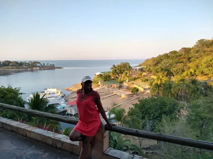
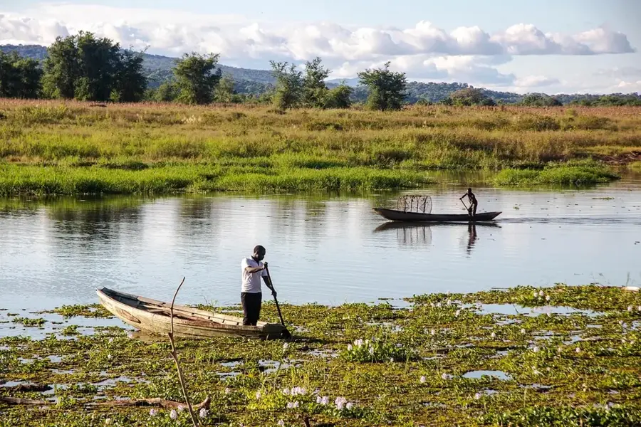
Sights nearby
💡 Tips
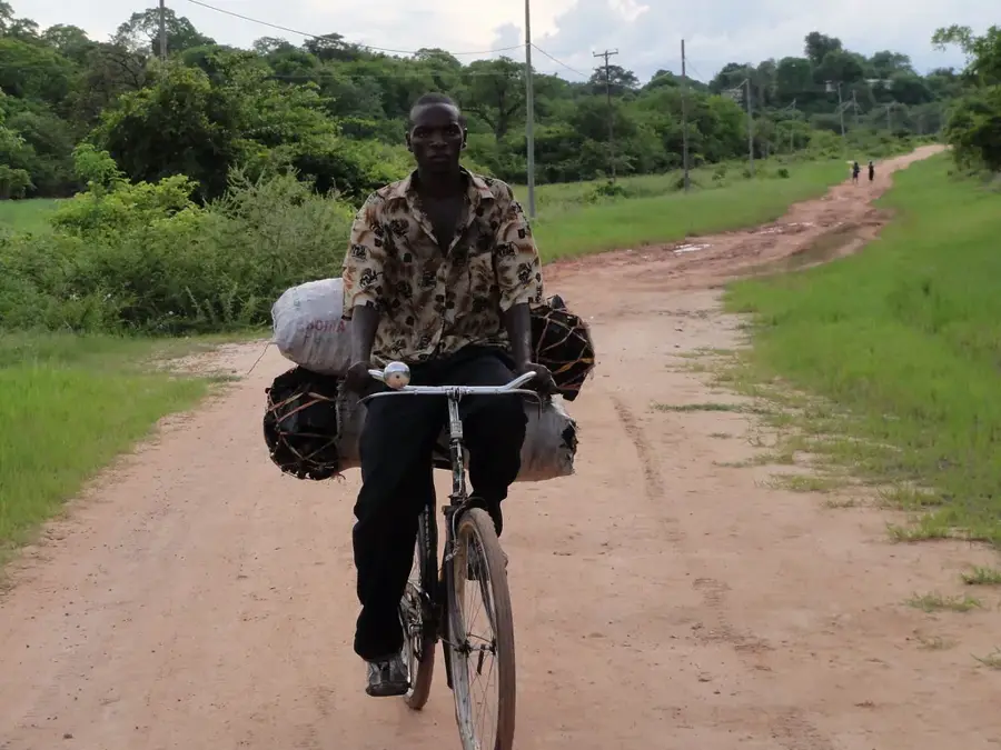
- Plan a pitstop: Kalomo is the great spot on the T1 highway to stock up on supplies before heading to Kafue National Park.
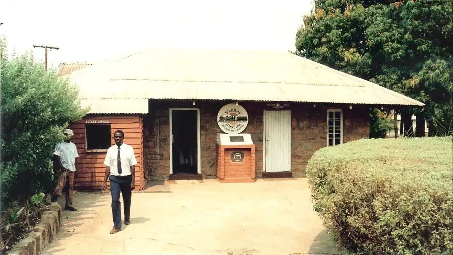
- Visit the historic residence: The first Administrator's House of Northern Rhodesia stands here, offering a glimpse into the colonial past.
- Start your day early: mornings are pleasantly cool for town walks, while afternoons get very hot.
- Watch out for potholes: if you turn off the main highway, local roads can be challenging, especially after rain.
🍽 Food
The thick maize porridge is often served with fresh bream. Find it in local restaurants near the highway.
Small, dried or fried fish. A salty, protein-rich snack you can try at local eateries.
Look for these savory filled pastries in the town's bakeries-excellent as a grab-and-go snack for the road.
🛍 Shopping · 🧘 Quiet spots
An authentic local market for fresh vegetables, fruit, and colorful Chitenge fabrics.
Along the main transit routes, you'll often find talented artisans selling traditional carvings.
The old, expansive gardens offer a quiet retreat in a historical setting.
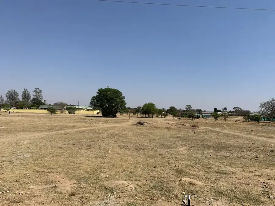
An ancient archaeological site north of town, sitting peacefully in the landscape.
Water temperature…
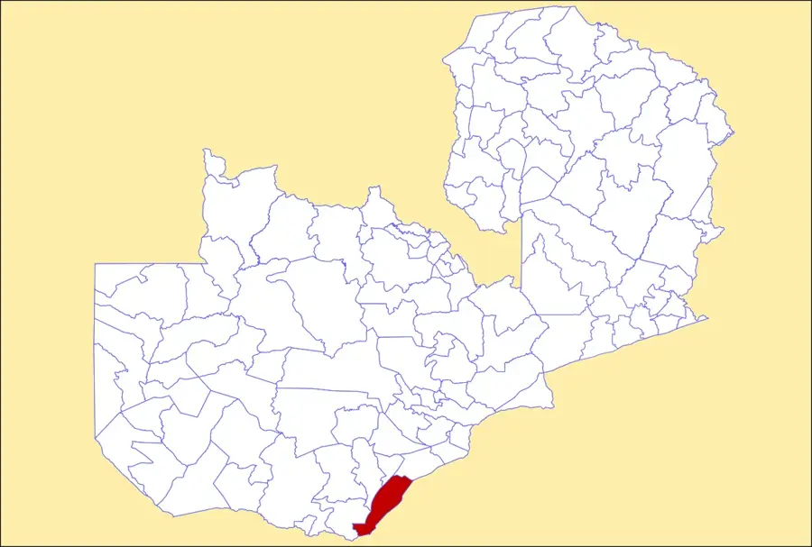
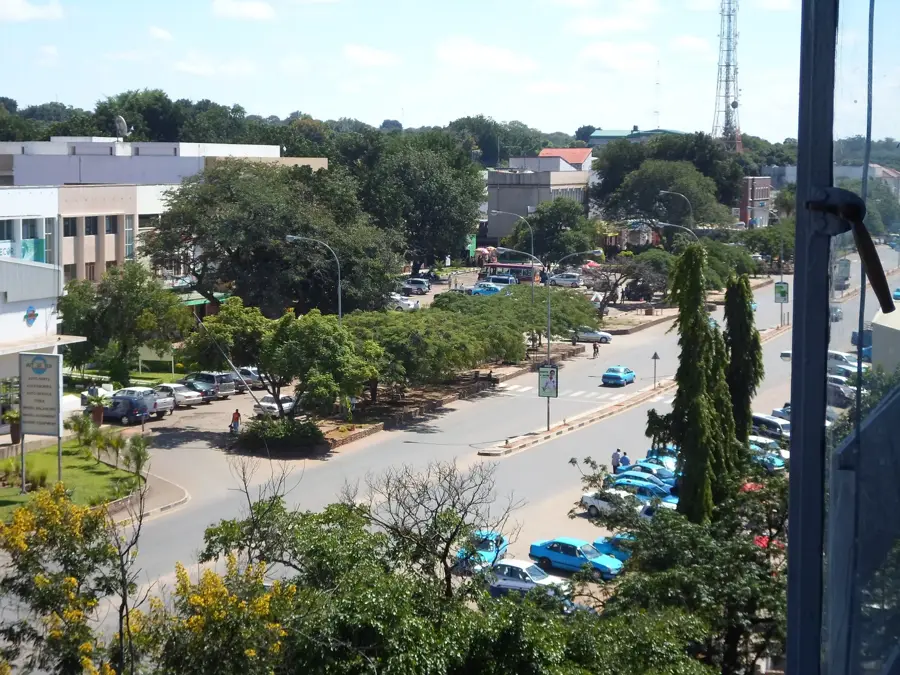
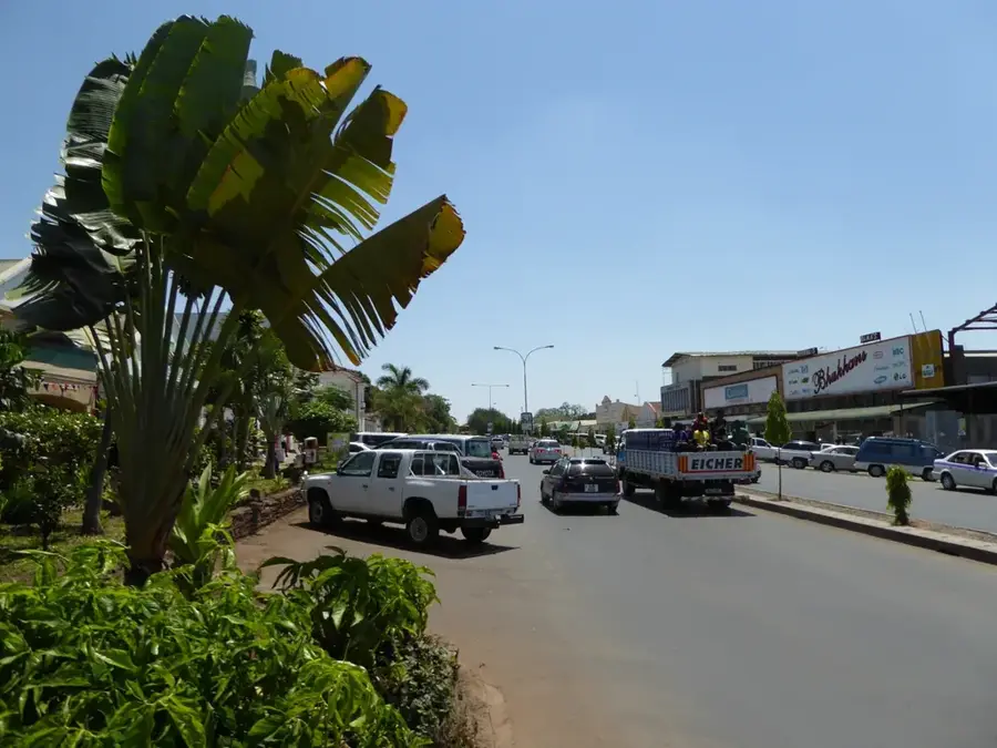
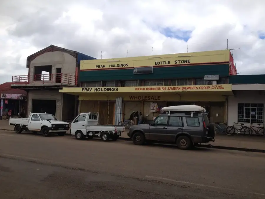
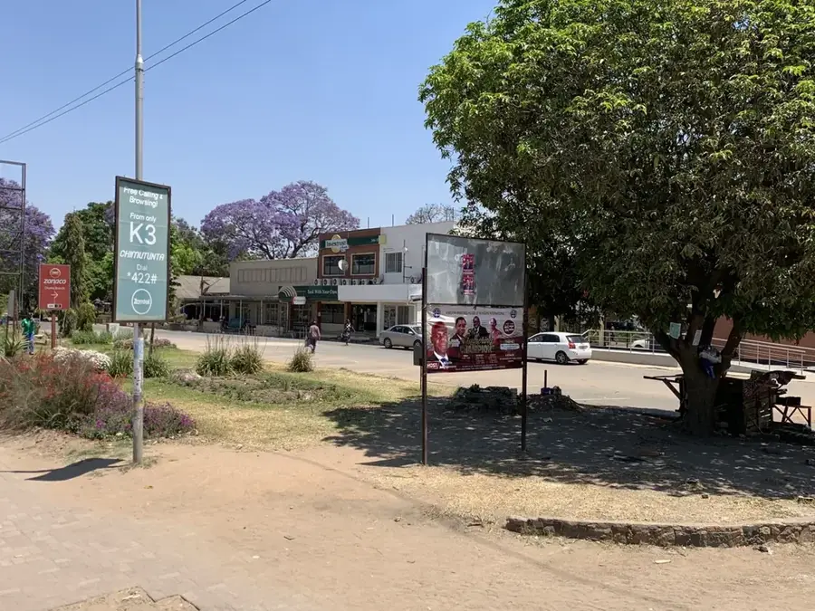
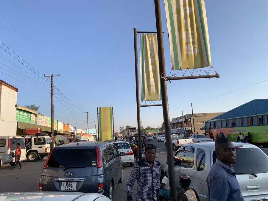
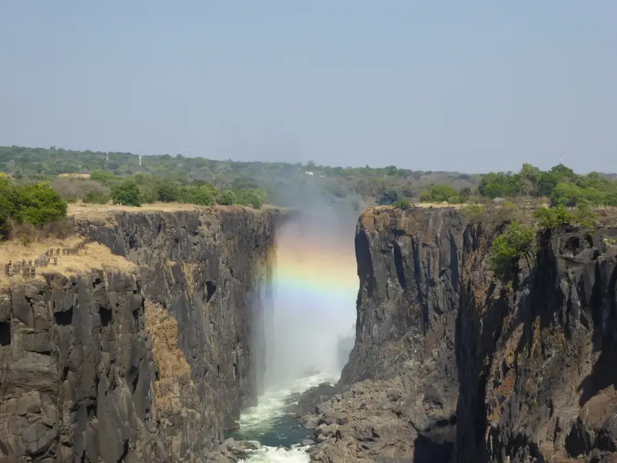
Kalomo is a town steeped in history located in the Southern Province of Zambia, serving as the first capital of North-Western Rhodesia from 1907 to 1911. Its historical prominence is marked by the Administrator's House, now a protected national monument that showcases early colonial architecture. The town is strategically positioned along the main railway and road network connecting Lusaka to Victoria Falls, making it a vital transport link. Geographically, the surrounding area features fertile plains that have established Kalomo as a powerhouse for commercial farming and livestock production. The local economy relies heavily on large-scale maize and tobacco cultivation, as well as significant cattle ranching operations. Kalomo also serves as a convenient gateway to the southern reaches of the Kafue National Park, attracting nature enthusiasts. The social fabric of the town is primarily influenced by the Tonga people, whose cultural values remain a cornerstone of the community. Today, Kalomo continues to thrive as an essential agricultural and transit hub in southern Zambia.
- Location: Zambia
- Nearby: Choma (56 km)
- Population: ~30.781 (2024)
Best time to visit & climate
The most pleasant time to visit is Apr, May, Aug.
| Jan | Feb | Mar | Apr | May | Jun | Jul | Aug | Sep | Oct | Nov | Dec | |
|---|---|---|---|---|---|---|---|---|---|---|---|---|
| Avg °C | 23 | 22 | 22 | 21 | 19 | 17 | 16 | 20 | 24 | 26 | 25 | 23 |
| Rain mm | 185 | 154 | 99 | 27 | 2 | 1 | 0 | 0 | 1 | 9 | 86 | 190 |
Geography
Facts
- First capital of North-Western Rhodesia (1907-1911)
- Home to the Administrator's House national monument
- A leading center for commercial maize farming in Zambia
- Elevation is approximately 1,250 meters above sea level
- Key stop on the main railway line to Victoria Falls
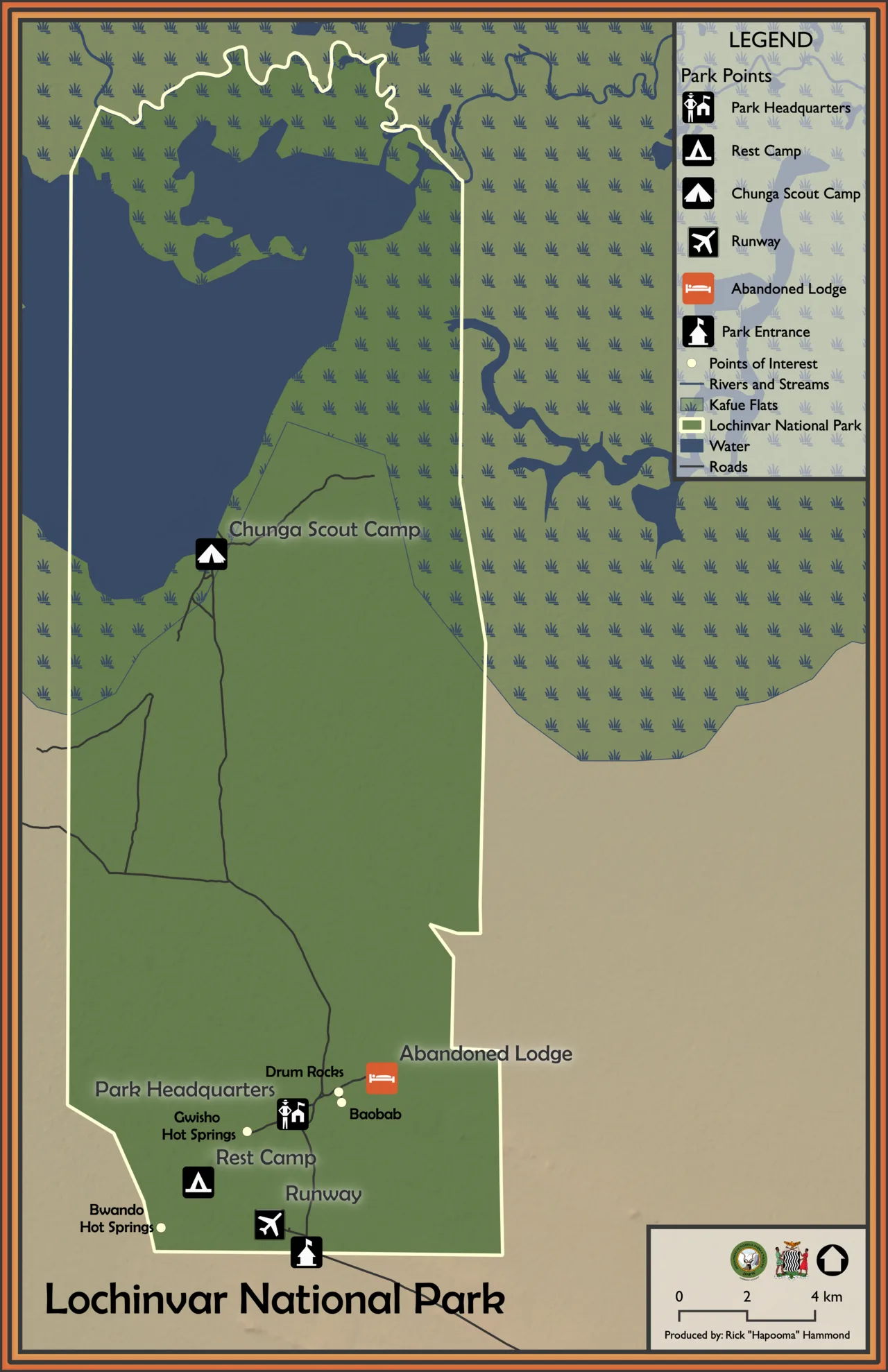
- Serves as a gateway to southern Kafue National Park
Explore nearby
Notable places around
Route planner — Car & Motorhome
Where do you start? We build the route here, with stops and country notes along the way.
© OpenStreetMap contributors · OpenRouteService
Frequently asked questions
How long for Kalomo?
When to visit?
How to get there?
Food?
Family-friendly?
Kalomo: where is it located?
Kalomo: when is the best time to visit?
Kalomo: why is it worth visiting?

Nearby cities
History & landmarks
Nature
More places