Plizio Visual Lab
Nho Quế River
Weather…
Water temperature…
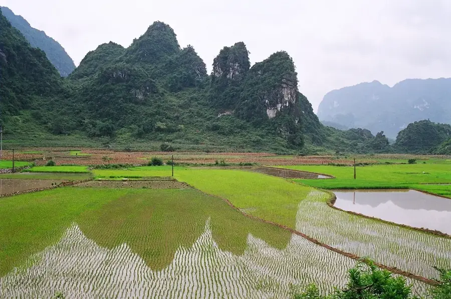
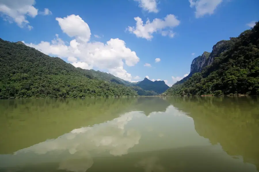
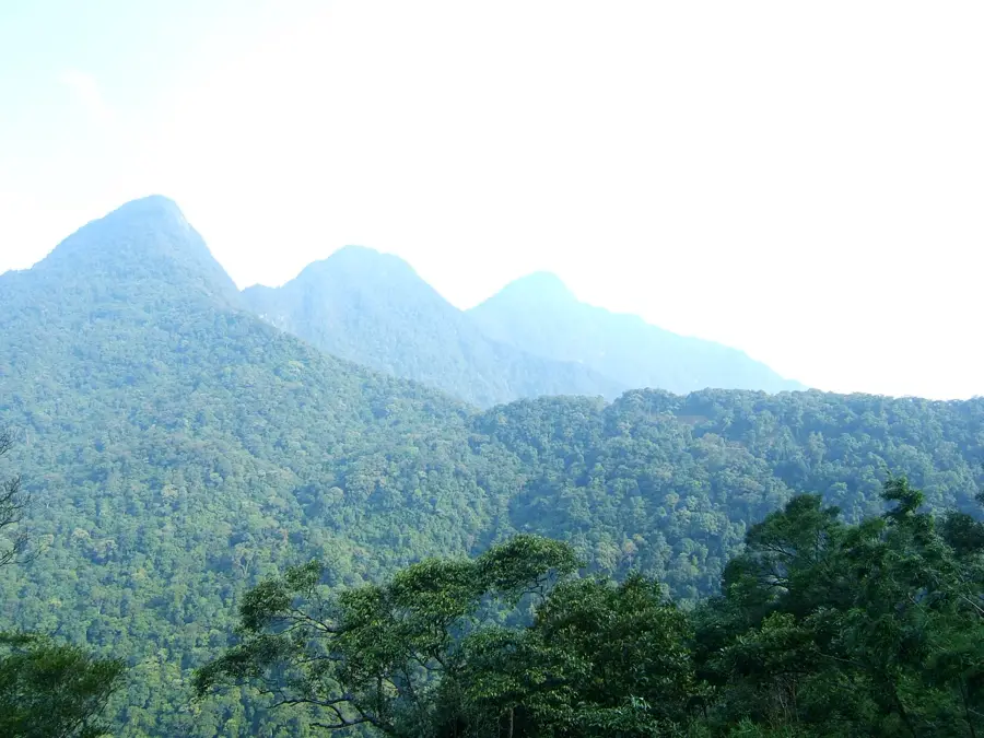
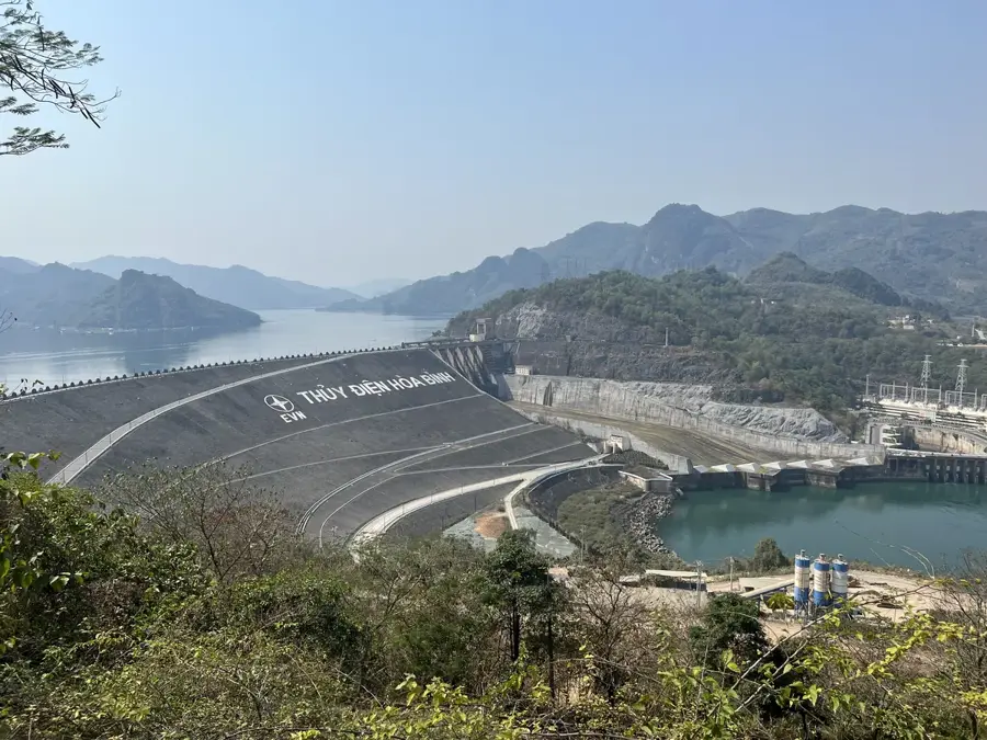
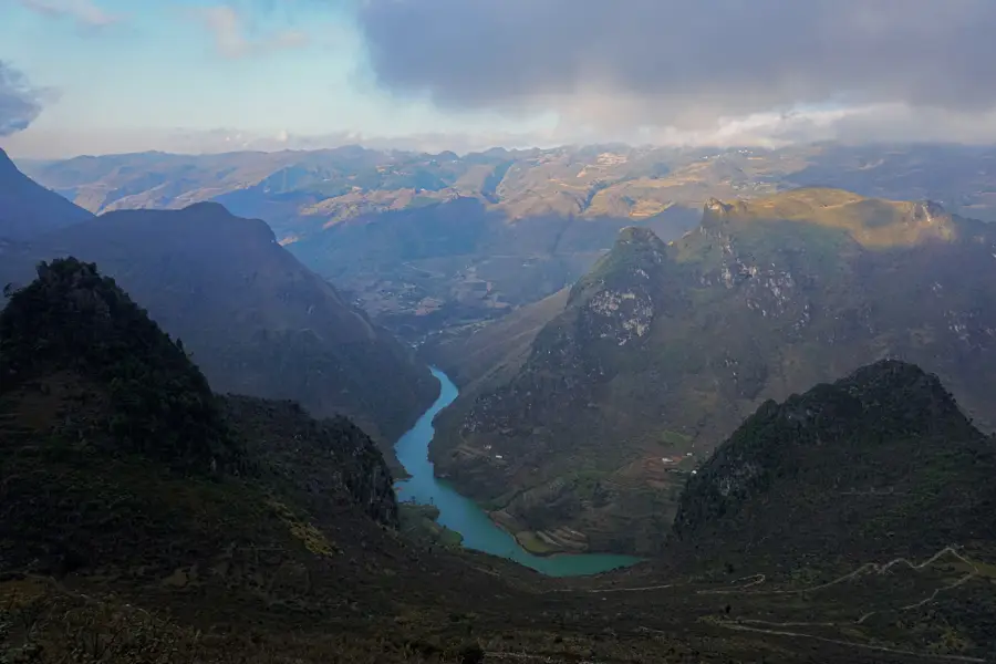
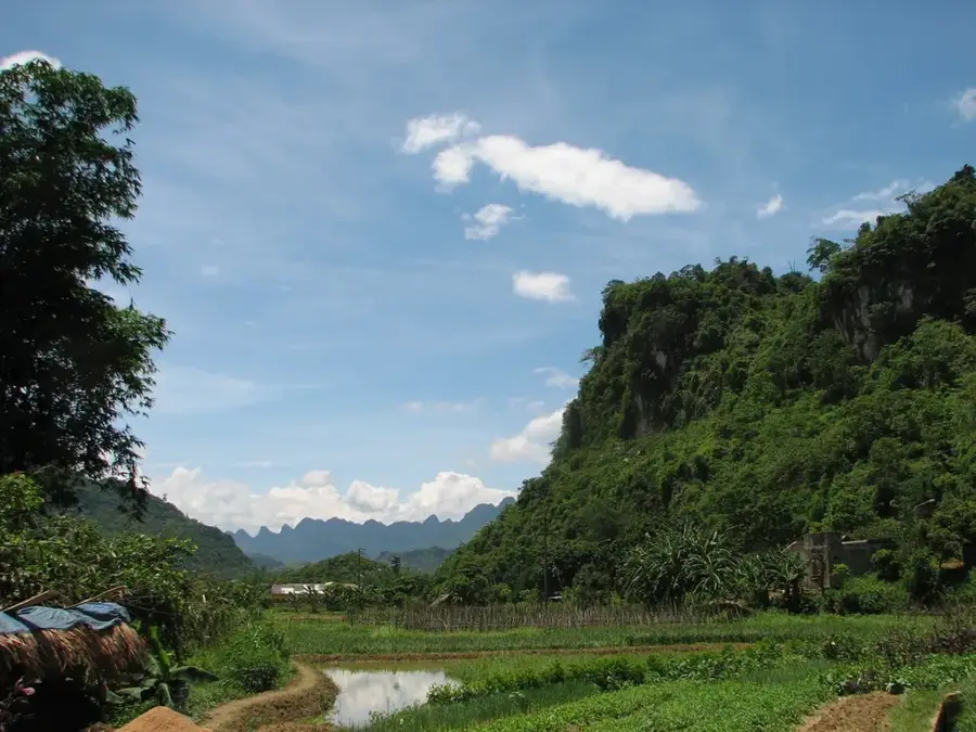
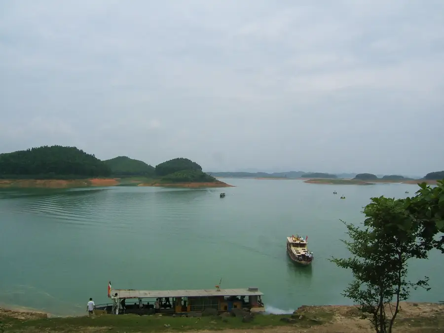
The Nho Que River originates in the mountains of Yunnan, China, and flows for approximately 192 kilometers, with 46 kilometers passing through Vietnamese territory. The river is particularly famous for its section in Ha Giang province, where it has carved deep into the Dong Van Karst Plateau. Here, the river forms the base of the Tu San Canyon, which, with a depth of about 700 to 900 meters, is considered one of the deepest canyons in Southeast Asia. The river runs parallel to the famous Ma Pi Leng Pass, from which the water's characteristic turquoise color can be observed. The canyon's geological formation dates back to the Mesozoic era, bearing witness to millions of years of tectonic activity and erosion. Ethnic groups such as the H'Mong inhabit the region, utilizing the steep slopes for agriculture. In recent years, hydropower projects have been implemented on the river, partially regulating the water level and flow speed.
- Location: Vietnam
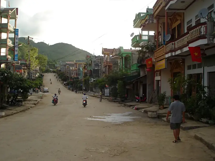
- Top sights: Cool viewpoint of the valley · Chợ trung tâm huyện Mèo Vạc · Chợ Bò
- Nearby: Ha Giang (49 km)
Best time to visit & climate
The most pleasant time to visit is Mar, Apr, Oct.
| Jan | Feb | Mar | Apr | May | Jun | Jul | Aug | Sep | Oct | Nov | Dec | |
|---|---|---|---|---|---|---|---|---|---|---|---|---|
| Avg °C | 11 | 14 | 17 | 21 | 24 | 24 | 24 | 24 | 23 | 19 | 16 | 11 |
| Rain mm | 34 | 20 | 46 | 71 | 157 | 243 | 232 | 242 | 145 | 72 | 41 | 24 |
📋 Practical info
Geography
Facts
- The total length of the river is approximately 192 kilometers.
- The Tu San Canyon is considered the deepest canyon in Southeast Asia.
- The average depth of the canyon is between 700 and 900 meters.
- The river flows into the Gam River in Tuyen Quang province.
- The water typically has a turquoise color due to mineral sediments.
- Several hydropower plants are located along the river's course in Vietnam.
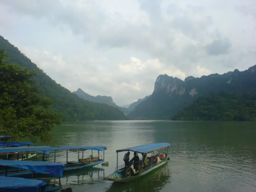
Explore nearby
Notable places around
Route planner — Car & Motorhome
Where do you start? We build the route here, with stops and country notes along the way.
© OpenStreetMap contributors · OpenRouteService
Sights in the town Nho Quế River (3)
Sights nearby
Frequently asked questions
Can you boat on the Nho-Quế river?
How do you reach the river?
What is the best time of day for photos?
Is the water suitable for swimming?
Are there restaurants nearby?
Nho Quế River: where is it located?
Nho Quế River: what is there to see?
Nho Quế River: when is the best time to visit?
Nho Quế River: why is it worth visiting?

Nearby cities
History & landmarks
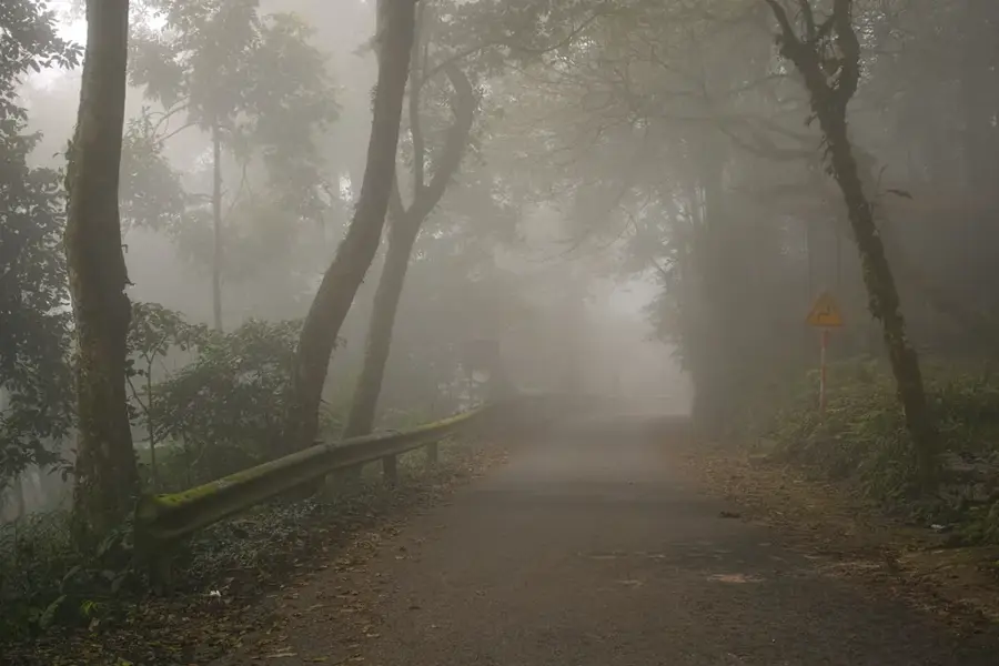
Nature
More places