Plizio Visual Lab
Ha Giang
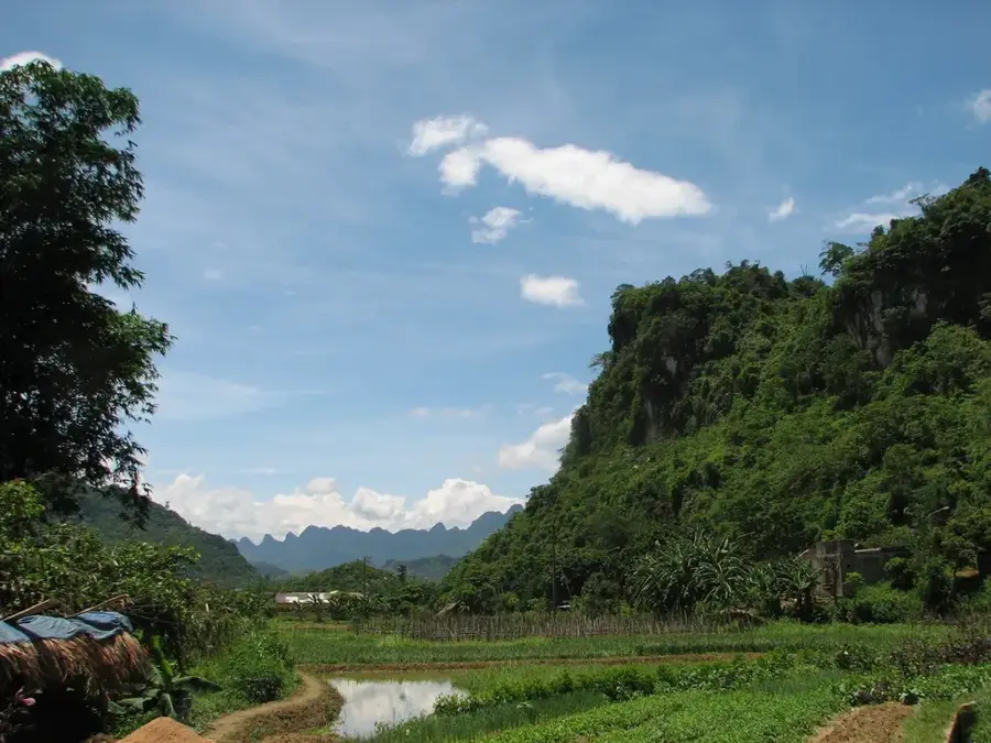
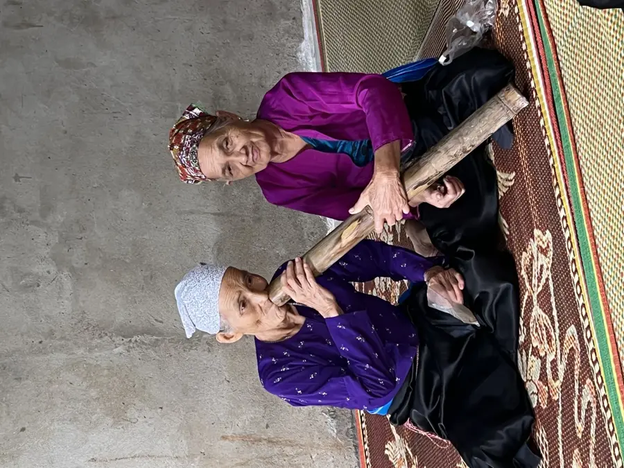
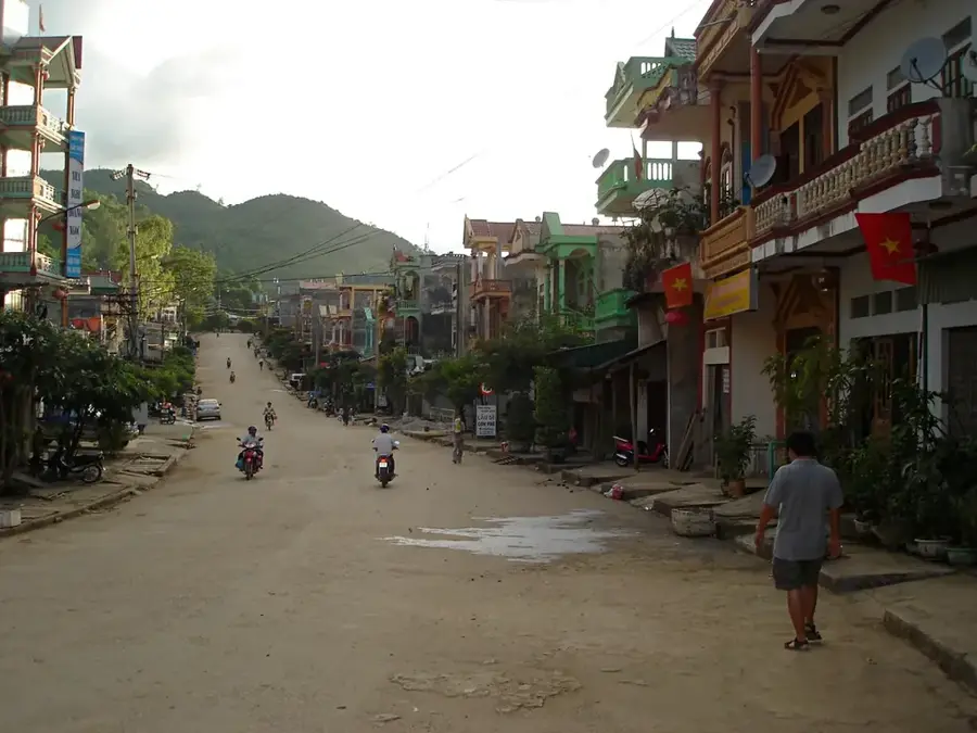
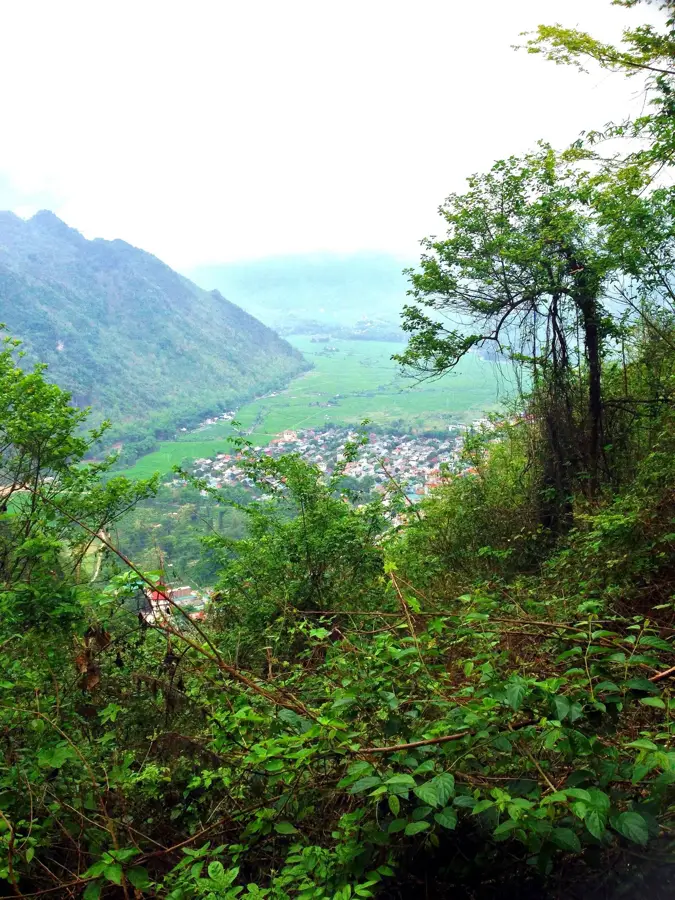
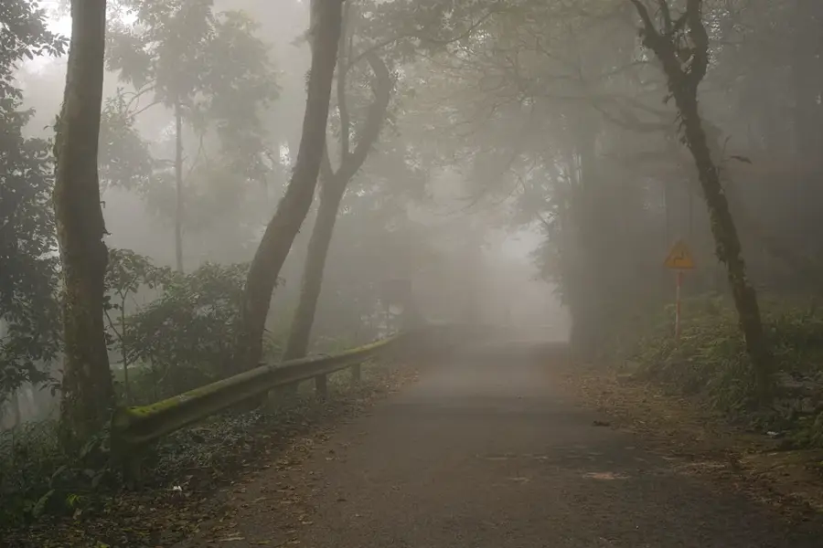
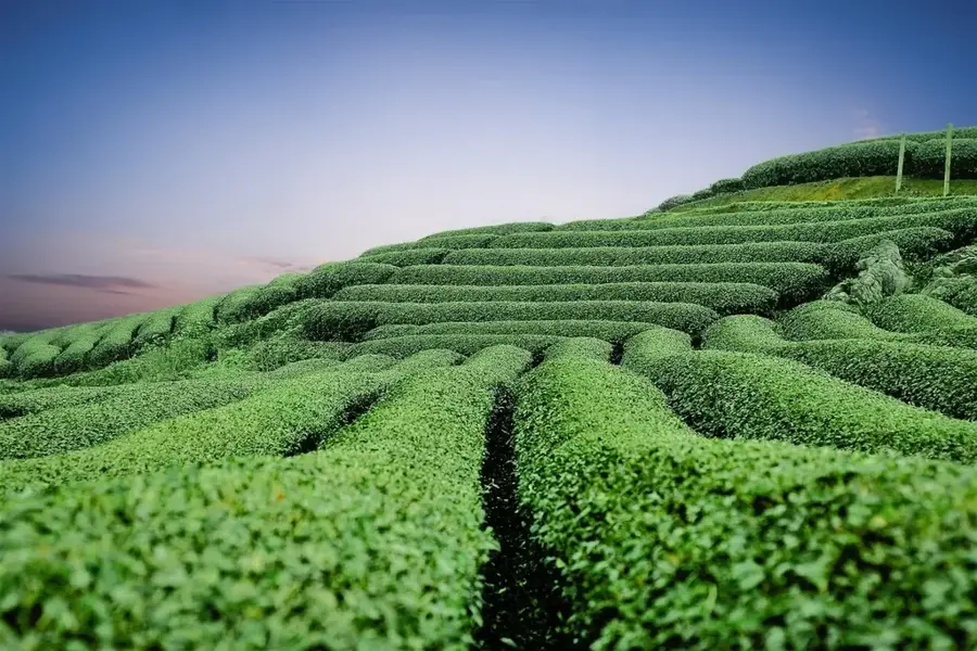
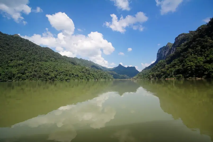
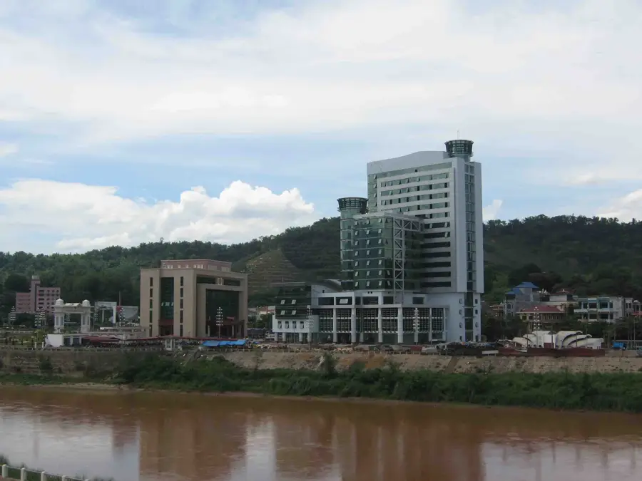
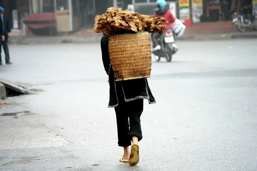
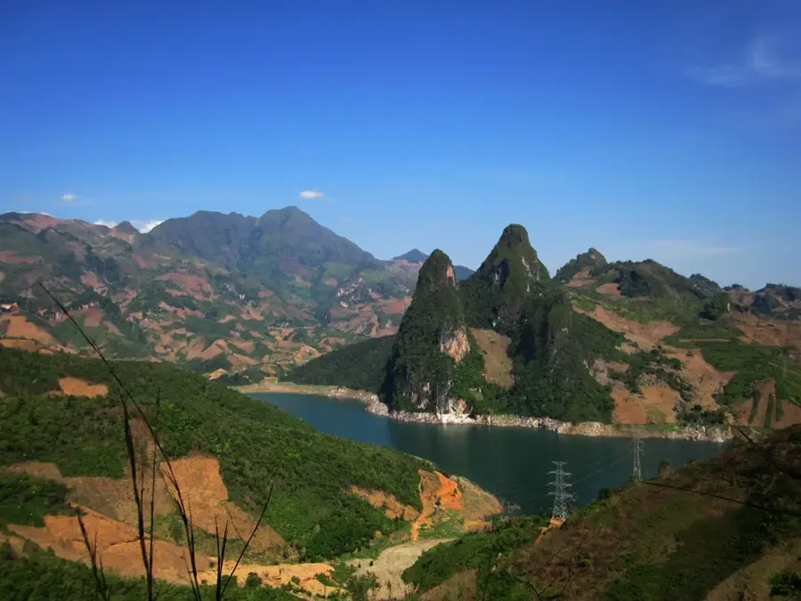
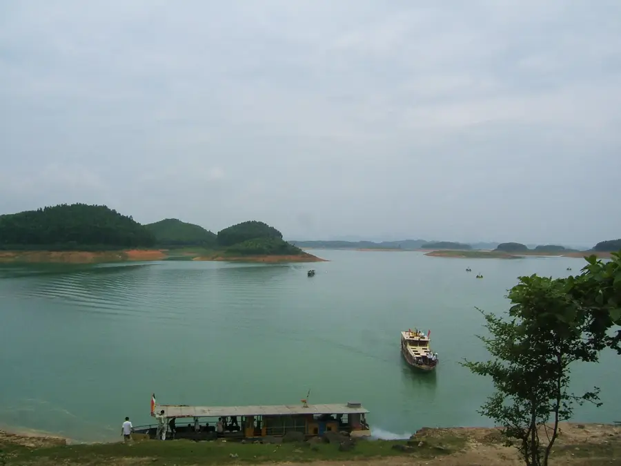
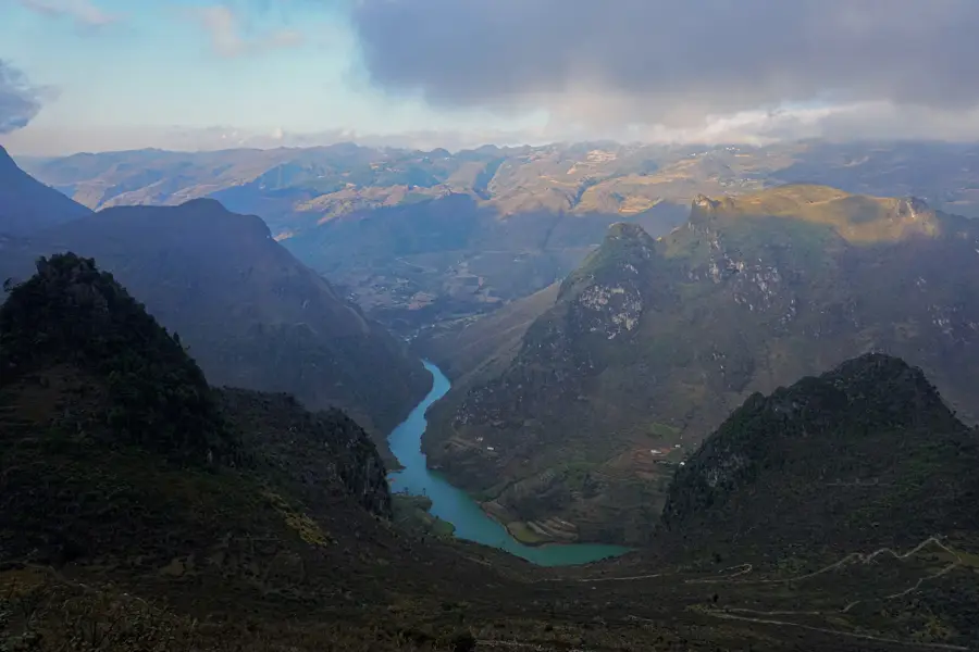
Ha Giang, located in the far north of Vietnam on the border with China, is widely considered the final frontier for adventurers. The city serves as the starting point for the legendary 'Ha Giang Loop,' a multi-day journey through dramatic limestone pinnacles and deep river canyons. The crown jewel of the region is the Dong Van Karst Plateau, recognized as a UNESCO Global Geopark for its impressive geological formations and ancient fossils. Beyond its dramatic landscapes, Ha Giang is defined by its immense cultural diversity, being home to over 20 ethnic minority groups including the Hmong, Tay, and Lo Lo. Local markets, such as the Meo Vac Sunday market, are spirited hubs where traditional costumes and centuries-old customs are still part of daily life. The Ma Pi Leng Pass, often called the 'King of Passes' in Vietnam, provides dizzying views of the turquoise Nho Que River far below. Travelers typically reach Ha Giang via a night bus from Hanoi. The best time to visit is from September to October during the golden rice harvest, or in early spring when peach and plum blossoms cover the hillsides. Due to the steep, winding roads, exploring the region is physically demanding but rewards visitors with the most pristine and authentic scenery in Southeast Asia. The local culinary experience is unique, featuring buckwheat cakes and traditional ethnic stews that are central to mountain life. Ha Giang is not a place for mass tourism; it is a destination for those seeking raw natural beauty, profound cultural immersion, and an unforgettable journey through one of the most rugged terrains on Earth.
- Location: Vietnam
- Top sights: Billotte (fort) · Gardens by the locals · Aucune attraction touristique
- Nearby: Moc Chau (69 km)
- Population: ~55.559 (2025)
Best time to visit & climate
The most pleasant time to visit is Mar, Apr, Oct.
| Jan | Feb | Mar | Apr | May | Jun | Jul | Aug | Sep | Oct | Nov | Dec | |
|---|---|---|---|---|---|---|---|---|---|---|---|---|
| Avg °C | 11 | 14 | 17 | 21 | 24 | 24 | 24 | 24 | 23 | 20 | 16 | 12 |
| Rain mm | 33 | 18 | 43 | 74 | 138 | 206 | 227 | 234 | 145 | 74 | 39 | 24 |
Geography
Facts
- Starting point for the famous Ha Giang Loop motorbike trek.
- Home to the UNESCO Global Geopark Dong Van Karst Plateau.
- Vietnam's northernmost province, bordering China.
- Home to more than 20 diverse ethnic minority groups.
- Location of the Ma Pi Leng Pass, the 'King of Passes'.
- Famous for the blooming buckwheat flowers in autumn.
- Features some of the most rugged mountain scenery in Asia.
- Known for the deep turquoise waters of the Nho Que River.
Explore nearby
Notable places around
Route planner — Car & Motorhome
Where do you start? We build the route here, with stops and country notes along the way.
© OpenStreetMap contributors · OpenRouteService
Sights in the town Ha Giang (8)
Frequently asked questions
Ha Giang: where is it located?
Ha Giang: what is there to see?
Ha Giang: when is the best time to visit?
Ha Giang: why is it worth visiting?

Nearby cities

History & landmarks
Nature
More places