Plizio Visual Lab
Vatican Hill South Edge
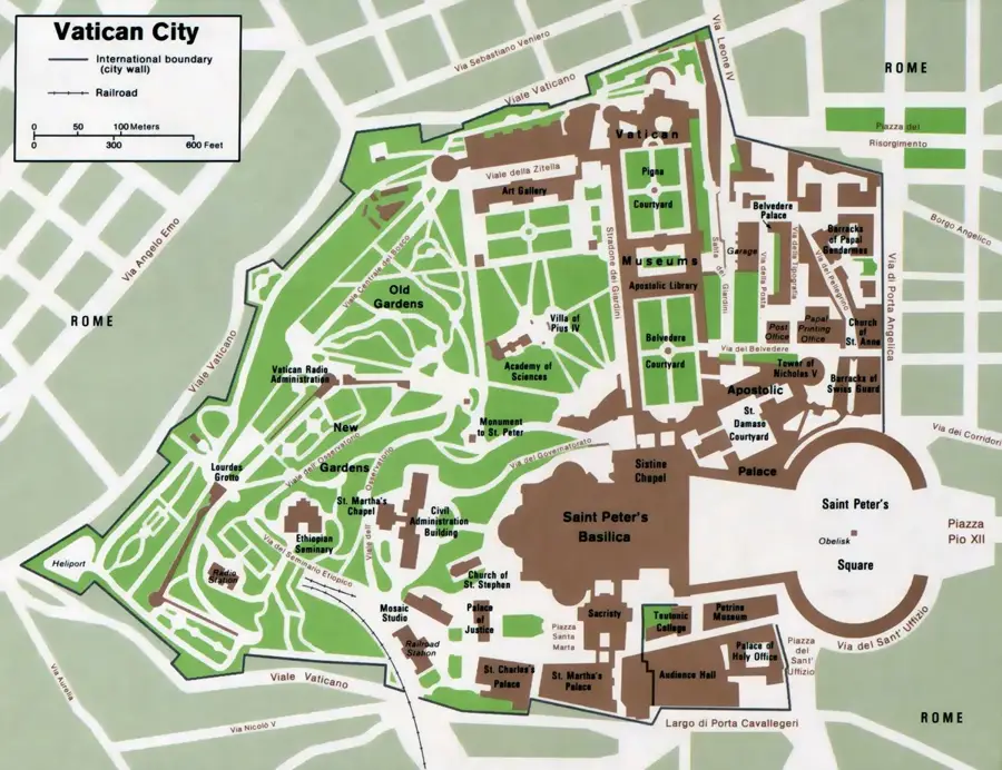
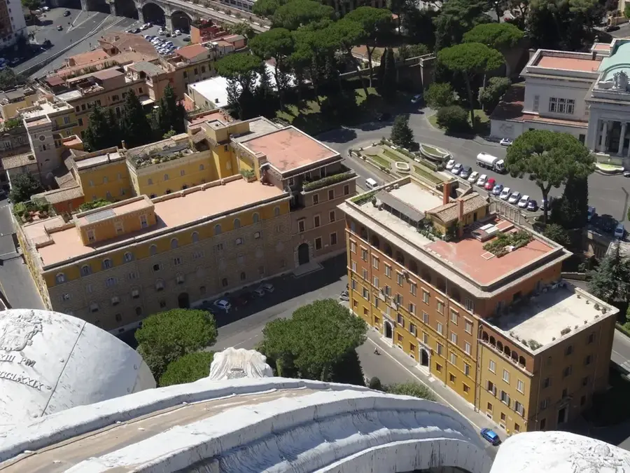
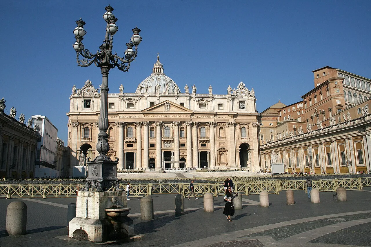
The Vatican Hill South Edge forms the natural boundary of the city-state towards the Via Aurelia and the Tiber valley. This topographic edge is geologically characterized by steep tufa cliffs that have served as a natural defensive line since ancient times. Historically, this perimeter area was the site of the ancient Vatican gardens and lies in close proximity to the Circus of Nero, where tradition holds that Saint Peter was martyred. During the construction of the present St. Peter's Basilica in the 16th and 17th centuries, the south edge was urbanistically integrated through massive foundational engineering and the erection of Bernini's southern colonnades. The elevation above Rome's street level emphasizes the Vatican's unique enclave status and provides commanding views over the urban landscape. Today, this section is secured by high Vatican walls that rest upon medieval and Renaissance fortifications.
- Location: Vatican
- Top sights: Saint Stephen of the Ethiopians · Sacristy · Cupola di San Pietro
Best time to visit & climate
The most pleasant time to visit is May, Jun, Sep.
| Jan | Feb | Mar | Apr | May | Jun | Jul | Aug | Sep | Oct | Nov | Dec | |
|---|---|---|---|---|---|---|---|---|---|---|---|---|
| Avg °C | 7 | 8 | 10 | 14 | 18 | 23 | 26 | 26 | 21 | 17 | 12 | 8 |
| Rain mm | 73 | 77 | 69 | 56 | 57 | 34 | 26 | 26 | 70 | 82 | 114 | 92 |
📋 Practical info
Geography
Facts
- The southern edge sits approximately 20 meters above the street level of Via Aurelia.
- Geologically, the edge is composed of compact Pliocene volcanic tufa.
- The area was located on the periphery of the Circus of Nero in ancient times.
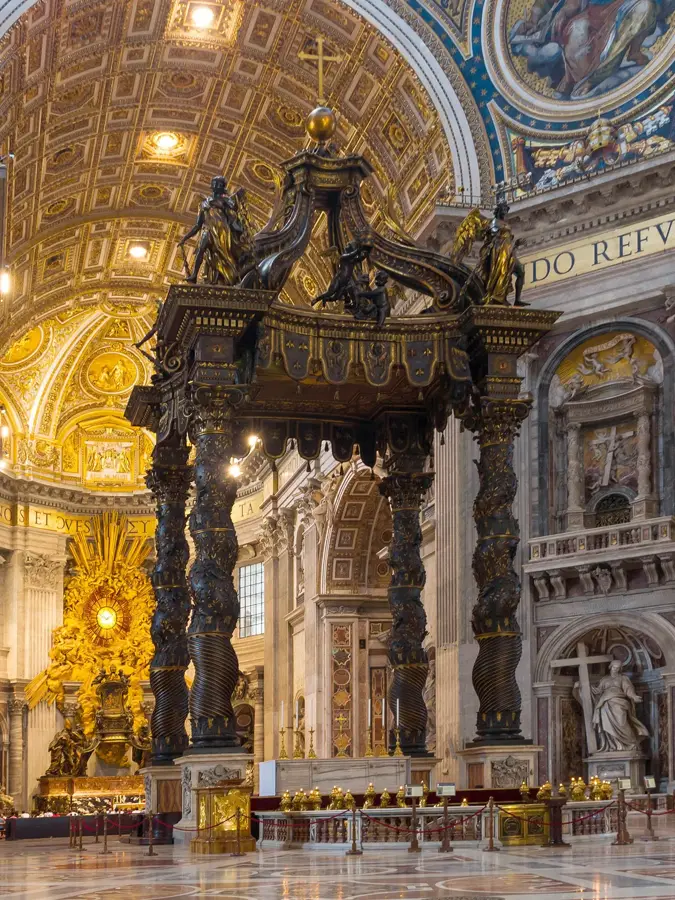
- Bernini's colonnades were constructed between 1656 and 1667.
- The current Vatican walls in this area partly follow the trace of the Leonine Walls.
- The obelisk in St. Peter's Square was moved from the nearby south edge in 1586.
Explore nearby
Notable places around
Route planner — Car & Motorhome
Where do you start? We build the route here, with stops and country notes along the way.
© OpenStreetMap contributors · OpenRouteService
Sights in the town Vatican Hill South Edge (10)
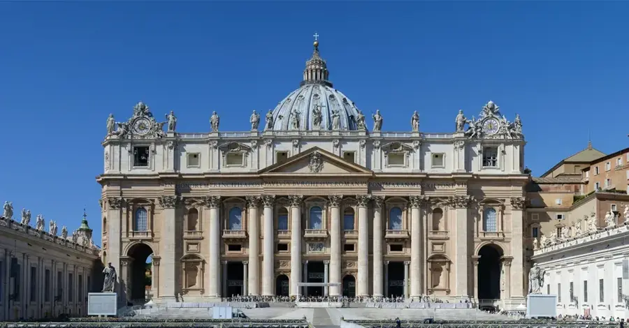
Saint Peter's Basilica
Church in Vatican City, one of the largest churches in the world.
St Mary's Church
Church building in Vatican City, dedicated to the Virgin Mary.
Chiesa di Santa Maria della Pietà⛪ church
Church in Vatican City, dedicated to Our Lady of Mercy.
Arch of the Bells
City gate in Vatican City, passage to St. Peter's Square.
Pauline Chapel
Chapel in the Apostolic Palace, Vatican City, used for papal ceremonies.
Sistine Chapel
Chapel in the Apostolic Palace, Vatican City, famous for Michelangelo's frescoes.
Sights nearby
Frequently asked questions
Where is the south edge of the Vatican Hill?
Is this area open to tourists?
How high is the hill at this point?
What can you see from the south edge?
Are there defensive structures there?
Vatican Hill South Edge: where is it located?
Vatican Hill South Edge: what is there to see?
Vatican Hill South Edge: when is the best time to visit?
Vatican Hill South Edge: why is it worth visiting?

History & landmarks
Nature
More places