Plizio Visual Lab
Erakor Lagoon Mangroves

Weather…
Water temperature…
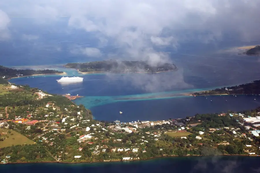
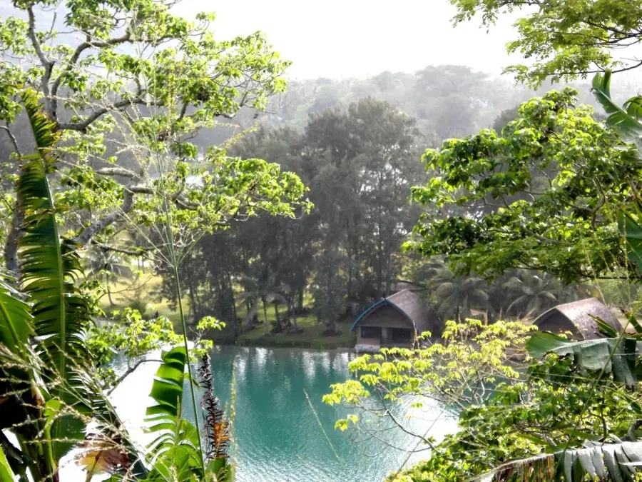
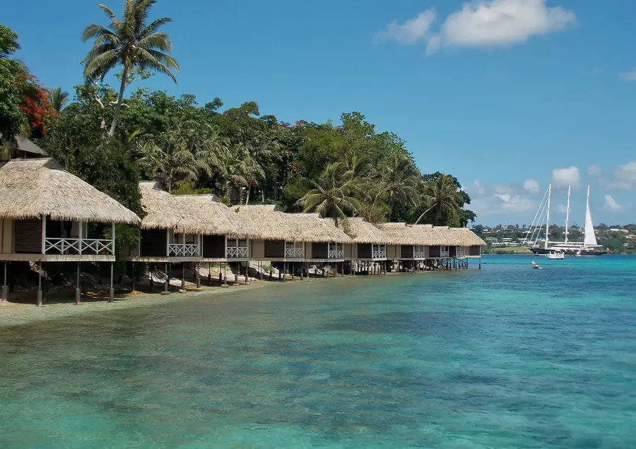
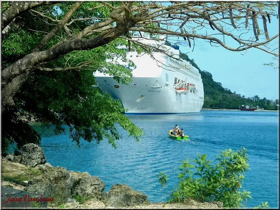
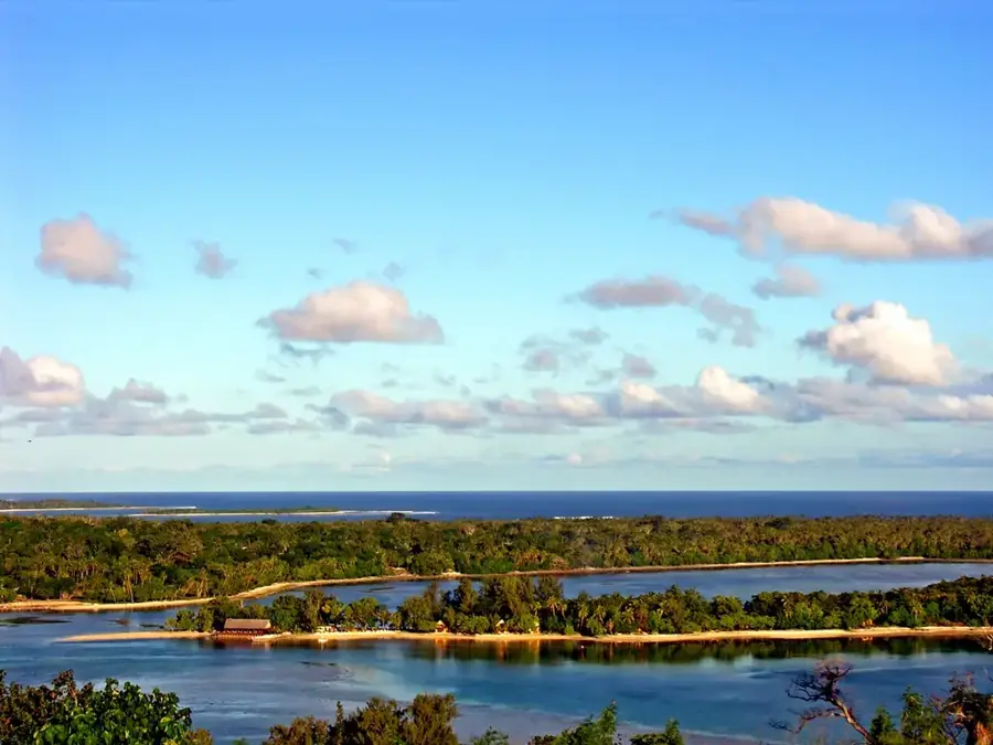
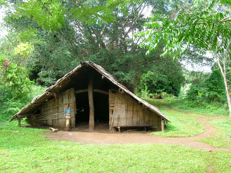
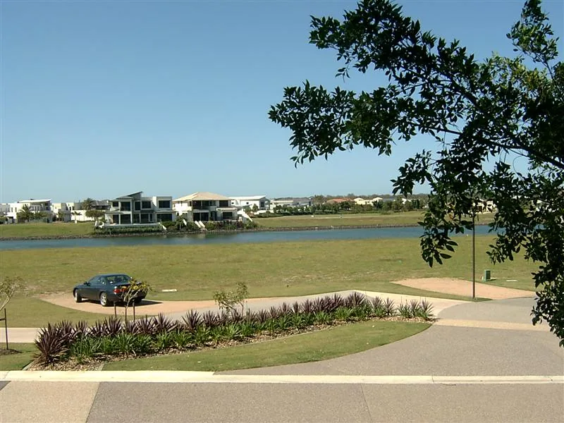
The Erakor Lagoon mangroves on Efate Island represent a vital ecological zone situated just south of the capital, Port Vila. These coastal forests primarily consist of salt-tolerant Rhizophora and Avicennia species, which form a natural defense against coastal erosion and tropical cyclones. The intricate root systems provide an essential nursery ground for diverse marine life, including snappers, mullet, and various crab species that mature in these protected waters. Historically, the local communities of Erakor and surrounding areas have relied on the lagoon for centuries for sustainable fishing and traditional building materials. In the modern era, the ecosystem faces challenges from urban development, leading to community-led initiatives focused on mangrove restoration and environmental education. The lagoon is also a significant site for carbon sequestration, making it a cornerstone of regional climate resilience strategies. The tranquil brackish environment features a unique laboratory for studying nutrient cycling and the transition between terrestrial and marine habitats.
- Location: Vanuatu
- Top sights: Eglise du Coeur Immaculé de Marie de Paray · Vanuatu Handicrafts Market · We care ministry assemblies of God
- Nearby: Mangaliliu Village History (20 km)
Best time to visit & climate
The most pleasant time to visit is Jul–Sep.
| Jan | Feb | Mar | Apr | May | Jun | Jul | Aug | Sep | Oct | Nov | Dec | |
|---|---|---|---|---|---|---|---|---|---|---|---|---|
| Avg °C | 27 | 28 | 28 | 27 | 26 | 25 | 24 | 24 | 24 | 25 | 26 | 27 |
| Rain mm | 212 | 189 | 249 | 222 | 121 | 107 | 73 | 65 | 59 | 103 | 113 | 154 |
📋 Practical info
Geography
Facts
- The lagoon covers an area of approximately 4 square kilometers.
- At least 3 distinct species of mangroves thrive in this ecosystem.
- The area provides critical protection for Port Vila during storm surges.
- Mangroves can sequester up to 4 times more carbon than upland forests.
- Water depth in the mangrove zones typically averages less than 1.5 meters.
- Local communities have historically used mangrove wood for construction.
Explore nearby
Notable places around
Route planner — Car & Motorhome
Where do you start? We build the route here, with stops and country notes along the way.
© OpenStreetMap contributors · OpenRouteService
Sights in the town Erakor Lagoon Mangroves (10)
Ekasup Cultural Village.
Cultural village in Port Vila showcasing traditional life.
Portoroki Seventh Day Adventist Church
Seventh-day Adventist church in the Portoroki area of Port Vila.
National Archives and National Library🏛 museum
National archive and library in Port Vila, preserving documents and books.
Musée National de Vanuatu🏛 museum
National museum in Port Vila exhibiting Vanuatu's culture and history.
Diana Tam Memorial Gallery
Gallery in Port Vila, named after Diana Tam, displaying art.
Mission House Ruins
Ruins of a mission house in Port Vila from the colonial era.
Sights nearby
Frequently asked questions
Is the water suitable for swimming here?
Are there guided kayak tours?
What can you see in the lagoon?
Is it suitable for families?
How do you reach the best viewpoint?
Erakor Lagoon Mangroves: where is it located?
Erakor Lagoon Mangroves: what is there to see?
Erakor Lagoon Mangroves: when is the best time to visit?
Erakor Lagoon Mangroves: why is it worth visiting?

Nearby cities


History & landmarks


Nature
More places