Plizio Visual Lab
Efate Round Island Road History
Weather…
Water temperature…
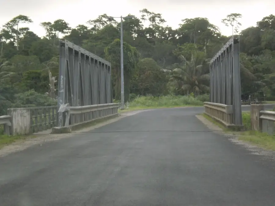
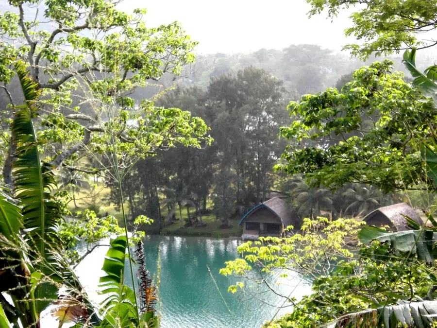
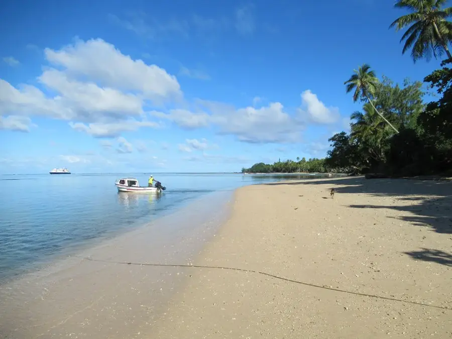
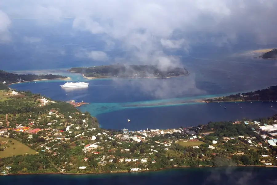
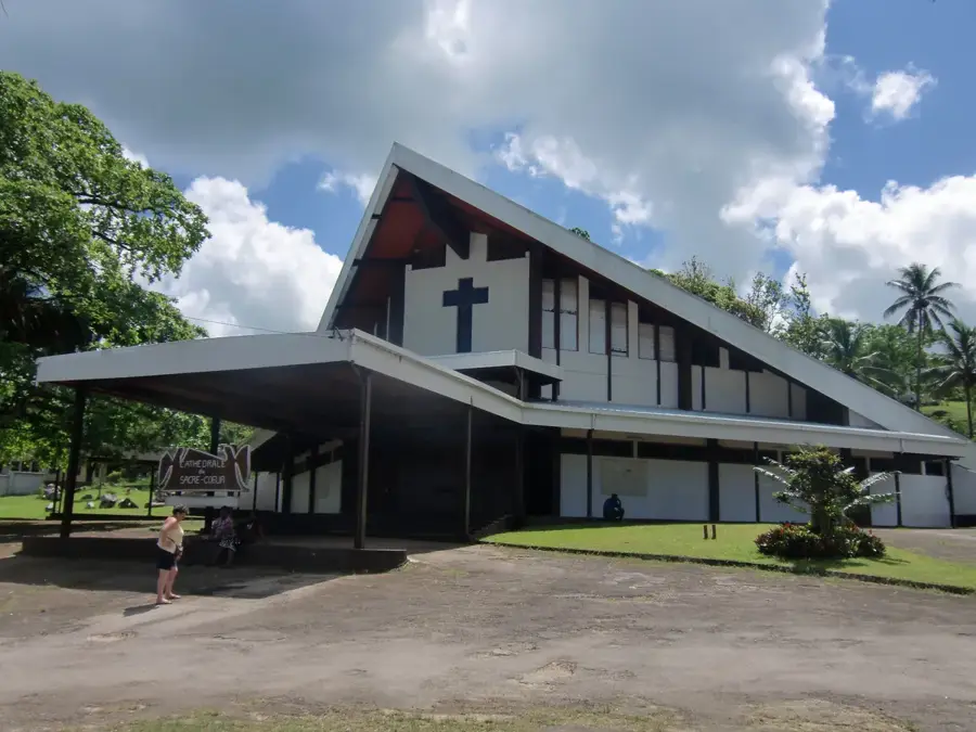
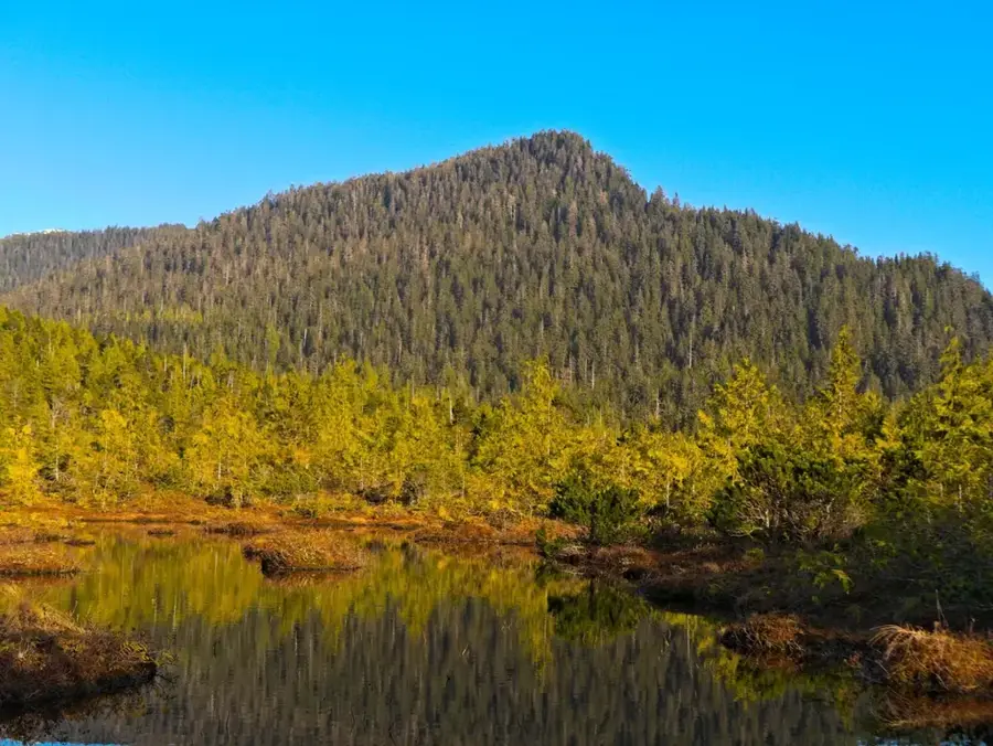
The Efate Round Island Road is more than a mere transportation artery; it is a profound symbol of Vanuatu's economic and infrastructural evolution. Originally cleared as a rough track by U.S. Navy Seabees during World War II to link defensive positions across the island, the road has been progressively upgraded over several decades. The comprehensive sealing and paving of the approximately 130-kilometer route was finally completed in 2011 with significant international funding, an achievement that revolutionized access to remote villages in the north and east. Historically, this road facilitated the commercialization of local agriculture and the expansion of tourism beyond the confines of the capital, Port Vila. The journey along the road gives a cross-section of Efate's diverse environments, from lush tropical rainforests to rugged coastal cliffs, and provides access to key historical sites like Mangaliliu. For the local Ni-Vanuatu people, the road is a lifeline to education, healthcare, and regional markets. Furthermore, its modern development stands as a testament to international partnership, particularly through the Millennium Challenge Account. Today, the Round Island Road is the essential corridor for any traveler seeking to explore the cultural and natural riches of Efate.
- Location: Vanuatu
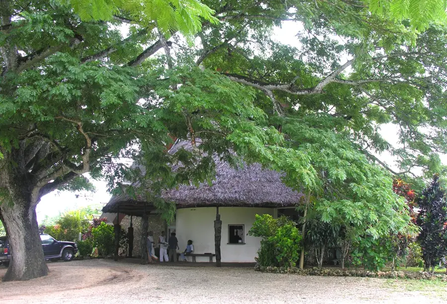
- Nearby: Ifira Island Traditional Village (13 km)
Best time to visit & climate
The most pleasant time to visit is Jul–Sep.
| Jan | Feb | Mar | Apr | May | Jun | Jul | Aug | Sep | Oct | Nov | Dec | |
|---|---|---|---|---|---|---|---|---|---|---|---|---|
| Avg °C | 28 | 28 | 28 | 27 | 26 | 25 | 24 | 24 | 25 | 25 | 26 | 27 |
| Rain mm | 211 | 190 | 237 | 222 | 127 | 109 | 76 | 66 | 67 | 107 | 116 | 147 |
📋 Practical info
Geography
Facts
- The total length of the road is approximately 130 kilometers.
- The major sealing project was funded by the MCA (USA).
- It connects Port Vila to the rural North Efate communities.
- The road reaches its highest point near the Klehm's Hill area.
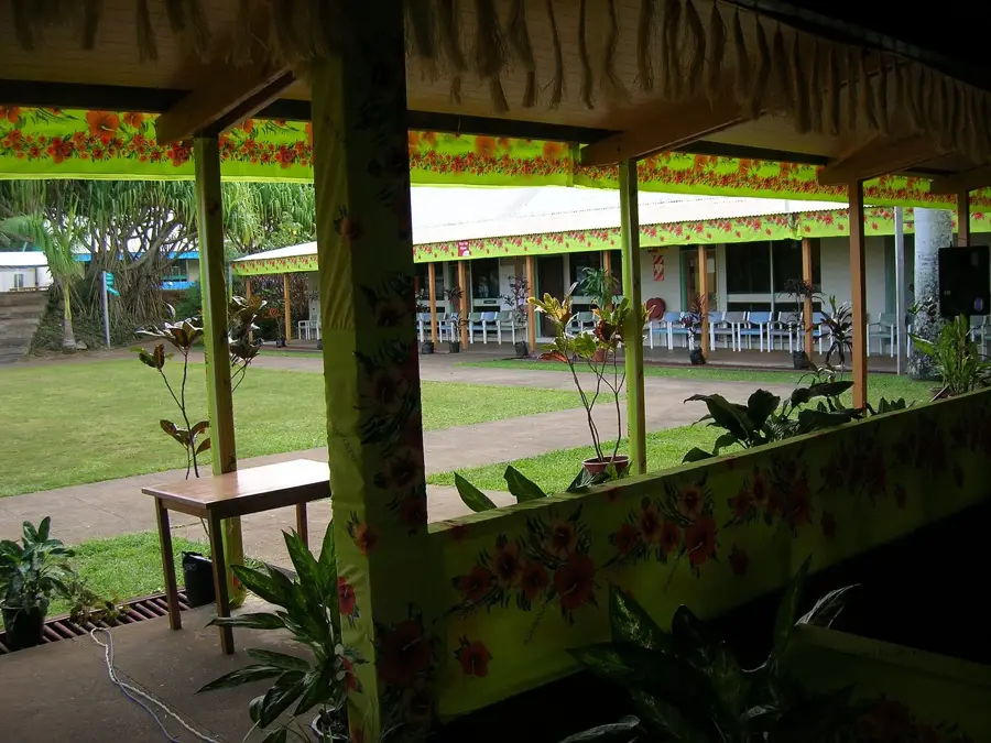
- It passes through many 'Kastom' villages and historical sites.
- The road has significantly reduced travel times across the island.
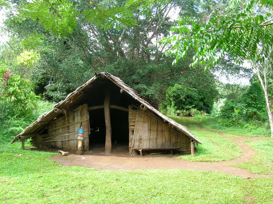
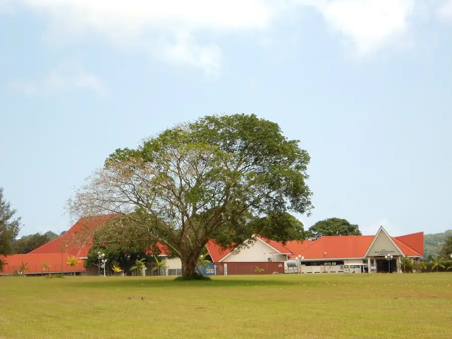
Explore nearby
Notable places around
Route planner — Car & Motorhome
Where do you start? We build the route here, with stops and country notes along the way.
© OpenStreetMap contributors · OpenRouteService
Sights nearby
Frequently asked questions
How long does a drive on the round road take?
Is the road easily drivable?
Are there gas stations along the way?
What is the best time for a drive?
Are there restaurants along the route?
Efate Round Island Road History: where is it located?
Efate Round Island Road History: when is the best time to visit?
Efate Round Island Road History: why is it worth visiting?

Nearby cities


History & landmarks


Nature
More places