Plizio Visual Lab
Karjantau Range
Weather…
Water temperature…
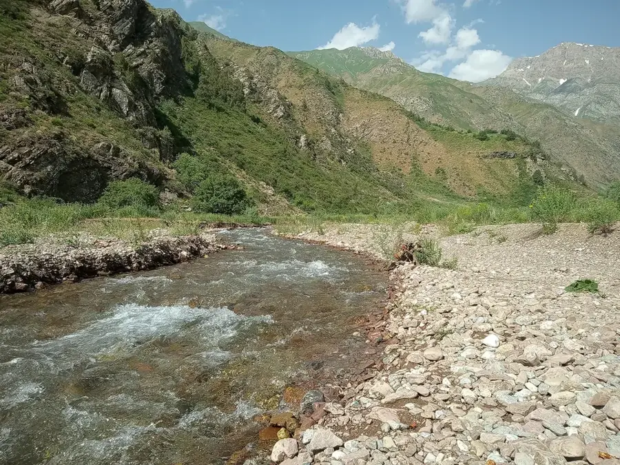
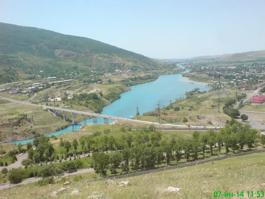
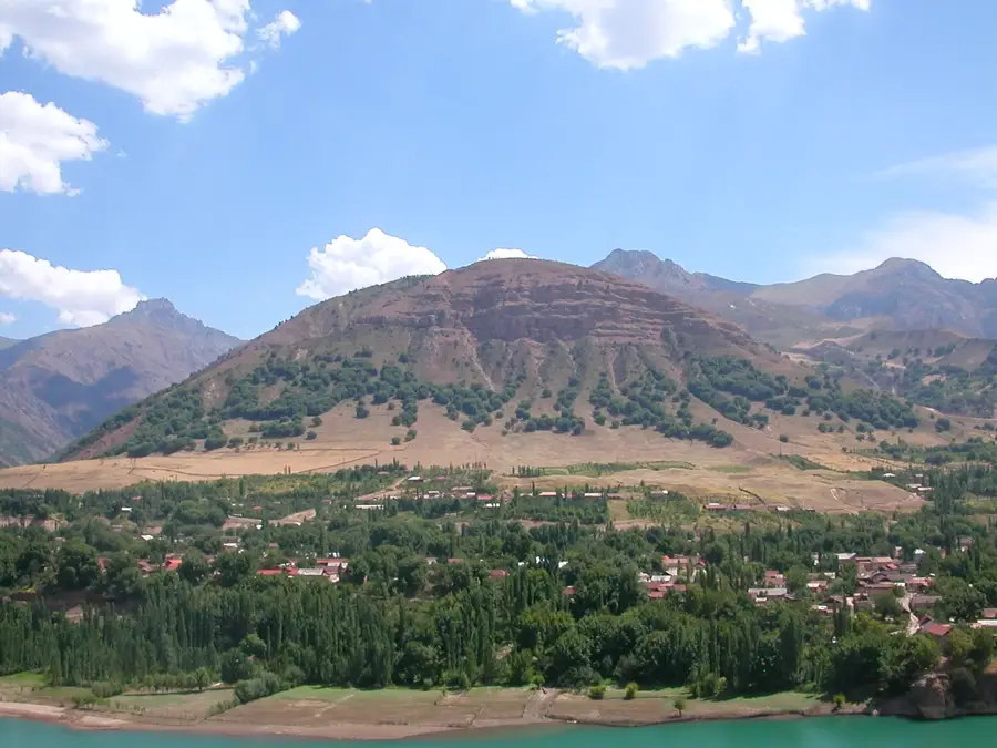
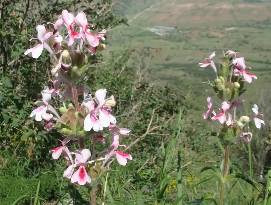
The Karjantau Range is a western spur of the Tien Shan mountains, stretching along the border between Uzbekistan and Kazakhstan. The range reaches its highest elevation at Mingbulak Peak, which stands at 2,823 meters. The topography is characterized by significant fragmentation, featuring steep slopes and deep valleys carved by the erosive forces of the Keles and Chirchiq rivers. Geologically, the massif is primarily composed of Paleozoic sedimentary and volcanic rocks. The region serves as a vital water tower for the surrounding plains, as snowmelt-fed streams are essential for agricultural irrigation at lower elevations. Flora consists of various types of mountain grasslands and shrubs, while fauna includes birds of prey and smaller mammals. Due to its proximity to the city of Tashkent, the range is a favored destination for local hikers, trekkers, and mountaineering enthusiasts.
- Location: Uzbekistan
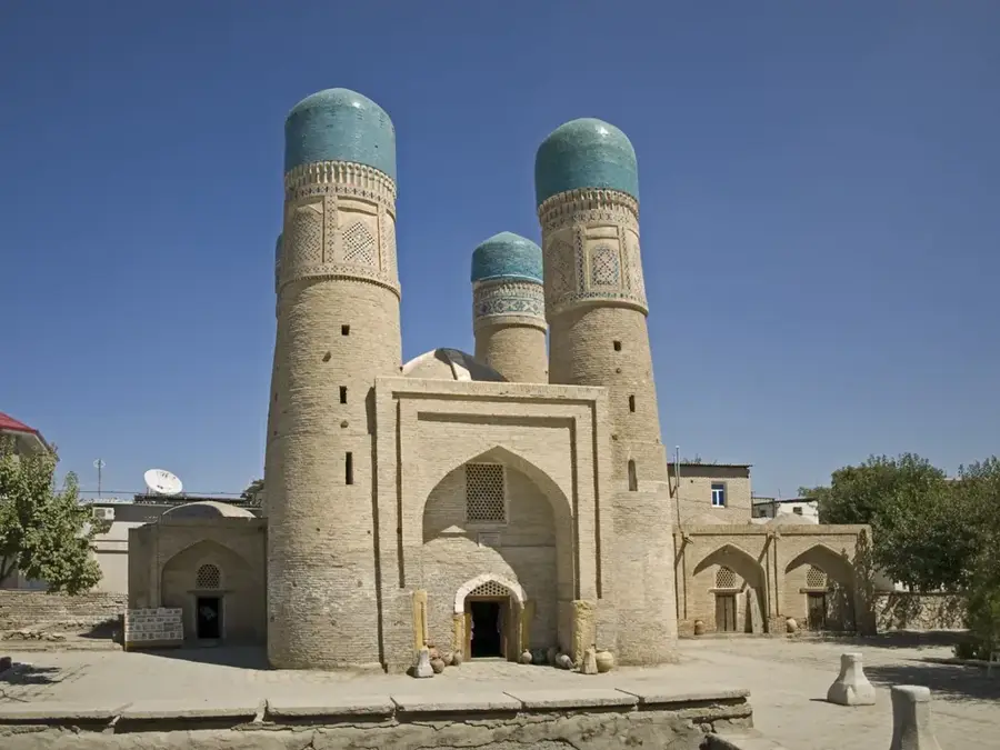
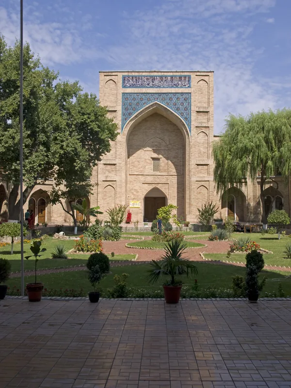
- Top sights: Razrushennyi avtobus · Gorbaty Bridge · Kruzhkovaia
- Nearby: Amirsoy (16 km)
Best time to visit & climate
The most pleasant time to visit is Jun–Aug.
| Jan | Feb | Mar | Apr | May | Jun | Jul | Aug | Sep | Oct | Nov | Dec | |
|---|---|---|---|---|---|---|---|---|---|---|---|---|
| Avg °C | -5 | -4 | 2 | 8 | 13 | 19 | 22 | 21 | 15 | 8 | 1 | -4 |
| Rain mm | 51 | 66 | 66 | 62 | 37 | 18 | 6 | 5 | 7 | 33 | 60 | 60 |
📋 Practical info
Geography
Facts
- The highest point is Mingbulak Peak at 2,823 meters.
- Forms a natural border between Uzbekistan and Kazakhstan.
- The range extends for approximately 90 kilometers.
- Key water source for the Keles and Chirchiq river basins.
- Composed mainly of Paleozoic sedimentary and volcanic rocks.
- Popular trekking destination near Tashkent city.
Explore nearby
Notable places around
Route planner — Car & Motorhome
Where do you start? We build the route here, with stops and country notes along the way.
© OpenStreetMap contributors · OpenRouteService
Sights in the town Karjantau Range (6)
Sights nearby
Frequently asked questions
Where are the Karjantau Mountains located?
Is it a popular hiking area?
Which season is best?
Can you hike there alone?
Is there mobile reception there?
Karjantau Range: where is it located?
Karjantau Range: what is there to see?
Karjantau Range: when is the best time to visit?
Karjantau Range: why is it worth visiting?

Nearby cities
History & landmarks
More places