Plizio Visual Lab
Chirchiq

ℹ️Practical info — Chirchiq
▾
🌤 Weather — 5 days
📍 Nearby
Sights nearby
💡 Tips
- Shared taxis to Tashkent are frequent and cheap; always confirm the price before getting in.
- The industrial heritage gives the town a unique Soviet-era aesthetic, great for architectural photography.
- Summers are extremely hot, so plan your outdoor walks for the early morning or evening.
- Try to learn a few basic words in Russian or Uzbek; locals will appreciate the effort.
🍽 Food
The national rice dish, best eaten at lunchtime in a traditional 'choyxona' (teahouse).
Juicy grilled meat skewers, served with sliced onions and vinegar at outdoor cafes in the evenings.
Flaky pastries filled with meat or pumpkin, baked in a tandoor oven; excellent for a quick street-food snack.
🛍 Shopping · 🧘 Quiet spots
A massive, bustling market for fresh local produce, nuts, dried fruits, and hot non (bread).
Look out for small shops selling traditional Uzbek ceramics and teapots in the town centre.
The riverbanks offer cooler breezes and a nice place for a quiet afternoon walk.
Find a shaded bench in one of the central green squares to escape the midday heat.
Water temperature…
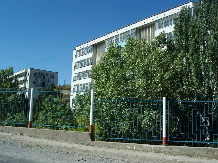
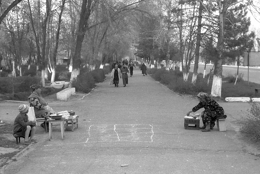
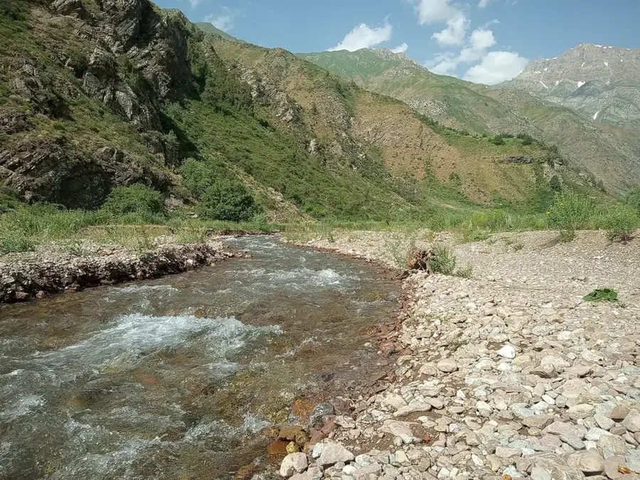
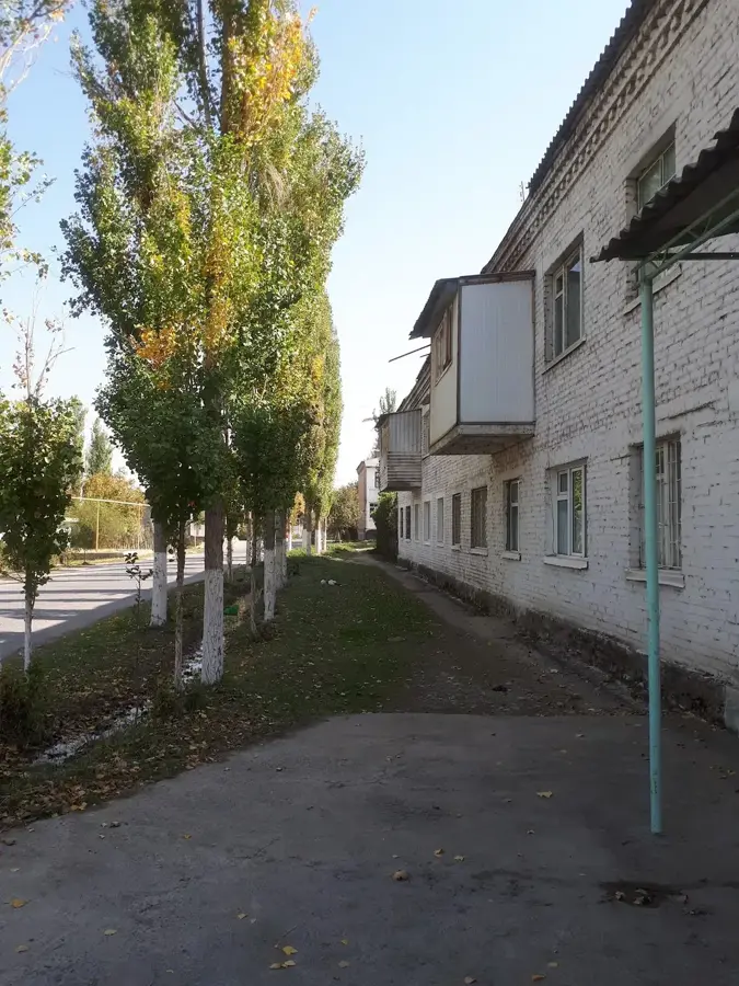
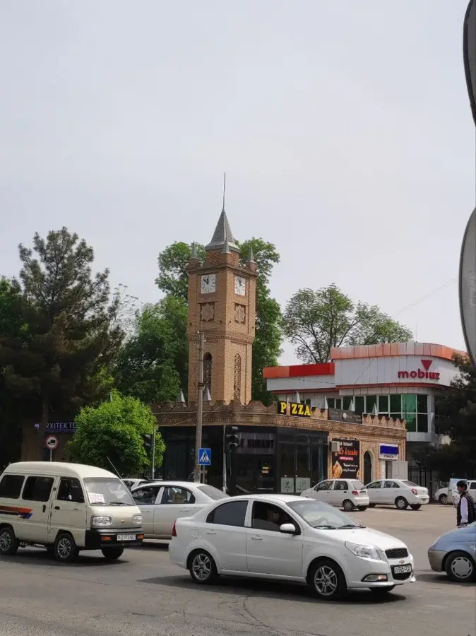
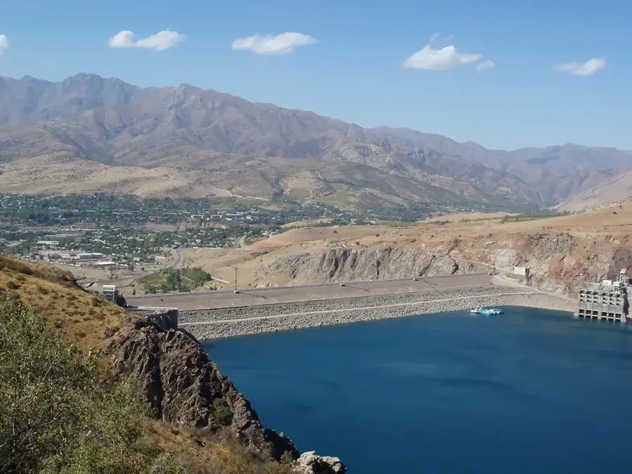
Chirchiq lies about 30 kilometres north-east of Tashkent on the river of the same name and was founded in 1934 as a Soviet planned industrial town meant to supply the capital with electricity, fertilisers, and chemical products. With around 165,000 inhabitants, it is one of the most important industrial centres in the Tashkent region. The Chirchiq hydroelectric plant has been producing green power since the 1930s, while the Maxam-Chirchiq fertiliser works rank among the largest nitrogen producers in Central Asia. Machine building, steel production, and food processing are further key sectors. Chirchiq is also known for its military tradition: during Soviet times several elite units were stationed here. Set in attractive scenery, the town is a popular starting point for trips into the Chimgan mountains.
- Location: Uzbekistan
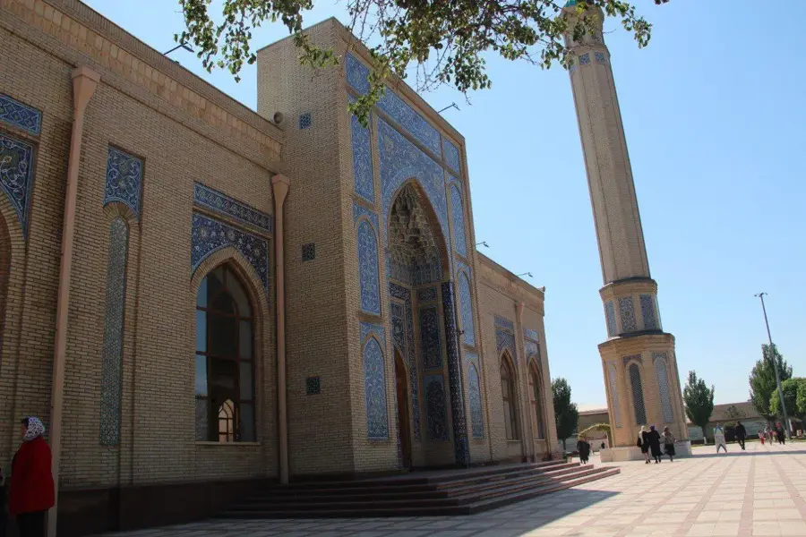
- Top sights: Alisher Navoiy · Shalandin · Muzei vooruzheniia
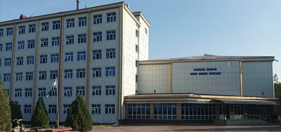
- Nearby: Olmaliq (24 km)
- Population: ~162.800 (2022)
Best time to visit & climate
The most pleasant time to visit is May, Jun, Sep.
| Jan | Feb | Mar | Apr | May | Jun | Jul | Aug | Sep | Oct | Nov | Dec | |
|---|---|---|---|---|---|---|---|---|---|---|---|---|
| Avg °C | 0 | 2 | 9 | 14 | 21 | 26 | 29 | 28 | 22 | 14 | 7 | 1 |
| Rain mm | 46 | 59 | 62 | 56 | 31 | 13 | 4 | 3 | 4 | 26 | 53 | 56 |
Geography
Facts
- Chirchiq was established in 1935 as a planned industrial urban center.
- The city is situated at an elevation of approximately 580 meters above sea level.
- The Chirchiq River provides essential water resources for both industry and irrigation.
- A major nitrogen fertilizer plant is one of the city's largest employers.
- It is located roughly 32 kilometers northeast of the national capital, Tashkent.
- The city is linked to the regional rail network via a dedicated branch line.
Explore nearby
Notable places around
Route planner — Car & Motorhome
Where do you start? We build the route here, with stops and country notes along the way.
© OpenStreetMap contributors · OpenRouteService
Sights in the town Chirchiq (10)
Frequently asked questions
What kind of city is Chirchiq?
Are there tourist attractions?
What is in the surroundings?
How is the connection to Tashkent?
When is a visit recommended?
Chirchiq: where is it located?
Chirchiq: what is there to see?
Chirchiq: when is the best time to visit?
Chirchiq: why is it worth visiting?

Nearby cities

Nature
More places